2010s Maps of Dewey County, Oklahoma
Explore 109 historic maps of Dewey County from the 2010s. These maps offer a rare glimpse into what life looked like during the 2010s — showing old roads, neighborhoods, homes, and landmarks that have changed or disappeared over time.
Whether you're researching your family's past, planning a metal detecting trip, or studying how Dewey County's landscape evolved across the 2010s, these high-resolution maps are a powerful tool for exploring the history of this region.
- Focus on a specific era: All maps on this page are from the 2010s, giving you a focused view of this time period.
- See what’s changed: Compare century-old streets, trails, and buildings to today's modern landscape using overlays and satellite layers.
- Research with precision: Use these maps for genealogy, historical research, land use analysis, or educational projects.
- View, download, or print: Maps are fully viewable online in high resolution, and can be downloaded or printed for your own records.
Start exploring Dewey County's history through authentic maps from the 2010s. This is your window into the past.
Dewey County, OK maps
(109)- 2010 Map of Vici NW, 2010 Print
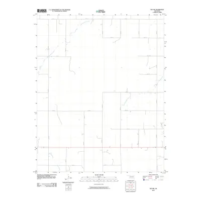 2010 Vici NW2010 Print · USGSWoodward County's rural plains are captured here in the early twenty-first century, showing a landscape defined by sectional roads and natural waterways. Genealogists and local historians can trace the paths of North Persimmon Creek, South Persimmon Creek, and Turkey Creek through the prairie grid.
 - 2010 Map of Rough Creek, 2010 Print
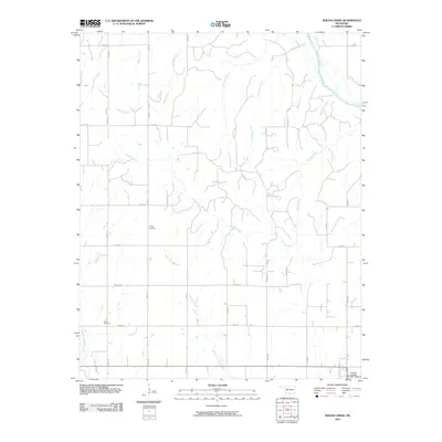 2010 Rough Creek2010 Print · USGSCuster County's agricultural heartland is documented here in the early twenty-first century, showing a landscape defined by its section-line roads and creek beds. Genealogists can locate family landmarks like Forney Cemetery and Bethel Cemetery among the winding waters of Rough Creek.
 - 2010 Map of Trail, 2010 Print
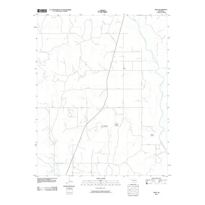 2010 Trail2010 Print · USGSDewey County’s rural landscape is captured here in the early twenty-first century, showing a region defined by its wide river bends and section-line roads. Genealogists and researchers can locate the Trail Cemetery and trace the paths of Red Creek or Mouse Hollow.
 - 2010 Map of Rhea, 2010 Print
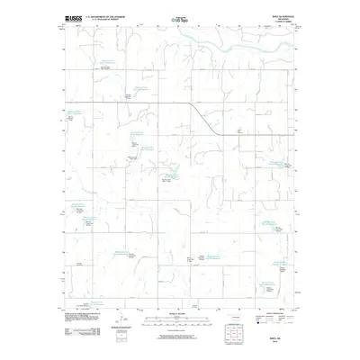 2010 Rhea2010 Print · USGSThis Dewey County landscape is defined by its extensive watershed management at the end of the first decade of the 2000s. Genealogists and local researchers can pinpoint significant burial sites like the German Cemetery, Center Point Cemetery, and Osceola Cemetery.
 - 2010 Map of Flying Creek, 2010 Print
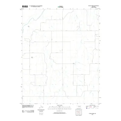 2010 Flying Creek2010 Print · USGSDewey County at the start of the 2010s is characterized by its wide rural stretches and essential river drainage systems. Genealogists and local historians can locate the Center Chapel Cemetery and Shirley Cemetery, or trace the path of the Canadian River.
 - 2010 Map of Vici, 2010 Print
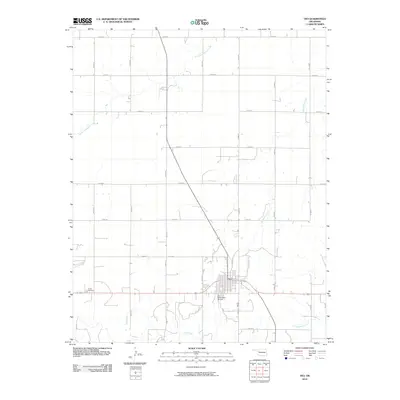 2010 Vici2010 Print · USGSThe town of Vici and its surrounding prairie landscapes are captured here at the start of the 2010s. Researchers can locate family landmarks like Vassar Cemetery and trace the local drainage of South Persimmon Creek and Cottonwood Creek.
 - 2010 Map of Mutual NE, 2010 Print
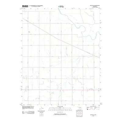 2010 Mutual NE2010 Print · USGSThe rural plains of Woodward County are captured here at the start of the decade, where the North Canadian River meets a rigid grid of country roads. Genealogists and local historians can locate the Dunlap Cemetery and trace the paths of Camp Creek and Bent Creek through the prairie.
 - 2010 Map of Parallel, 2010 Print
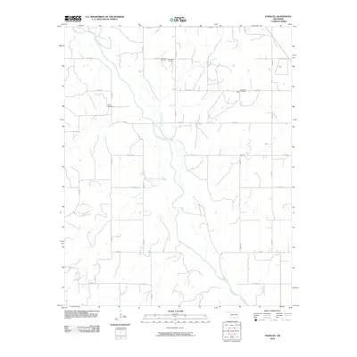 2010 Parallel2010 Print · USGSOklahoma's river-carved plains come to life in this survey of the river valley and surrounding uplands as they appeared in the early 2010s. Genealogists and local historians can locate several historic burial sites, including the Oakley Cemetery, Harrison Cemetery, and Evergreen Cemetery near Sickle.
 - 2010 Map of Mutual SW, 2010 Print
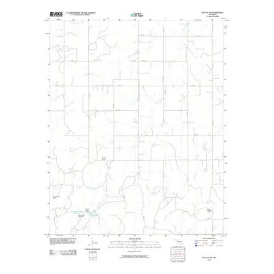 2010 Mutual SW2010 Print · USGSDewey County ranch lands and prairie drainages are documented here in the early twenty-first century. Genealogists and local researchers can locate Bloomfield Cemetery and trace the named water management systems of Teepee Creek and Barnes Number 3 Reservoir.
 - 2010 Map of Vici SW, 2010 Print
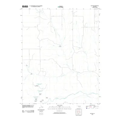 2010 Vici SW2010 Print · USGSDewey County’s canyons and creek beds are documented here in the early 21st century as they drain toward the southern river valley. Trace the local water infrastructure at Hutchison Number 5 Reservoir or navigate the terrain through Spring Canyon and Mulberry Canyon.
 - 2010 Map of Hucmac, 2010 Print
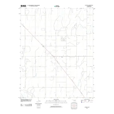 2010 Hucmac2010 Print · USGSDewey County in the early twenty-first century remains a landscape of wide-open spaces and rural section roads. Researchers can locate the historic Munice Cemetery and trace the path of Little Robe Creek as it winds through this Oklahoma prairie.
 - 2010 Map of Camargo, 2010 Print
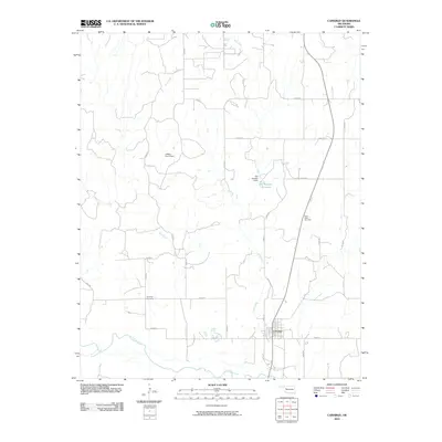 2010 Camargo2010 Print · USGSDewey County, Oklahoma, is shown in the early twenty-first century as a land shaped by the Canadian River and its rural settlements. Genealogists can locate Camargo Cemetery and Cedar Valley Cemetery, while collectors can trace the paths of Trail Creek and Gyp Creek.
 - 2010 Map of Leedey SW, 2010 Print
 2010 Leedey SW2010 Print · USGSWestern Oklahoma ranchlands and rural sections come alive in this 2010 survey of the area near Angora. Researchers can trace the drainage of Quartermaster Creek through an extensive network of dams, find the Dewey Cemetery, or navigate the grid of E0840 RD.
 - 2010 Map of Webb, 2010 Print
 2010 Webb2010 Print · USGSDewey County in the early twenty-first century is defined by its rural road networks and the winding path of the Canadian River. Researchers can locate several family and community landmarks, including Yake Cemetery, Riverview Cemetery, and Halcomb Cemetery.
 - 2010 Map of Mutual, 2010 Print
 2010 Mutual2010 Print · USGSThe rural prairie of Woodward County is captured here in the early twenty-first century, centered on the small community of Mutual. Genealogists can locate family landmarks at Persimmon Cemetery and Sunny Side Cemetery along a dense network of section line roads.
 - 2010 Map of Taloga, 2010 Print
 2010 Taloga2010 Print · USGSTaloga and the Dewey County prairie are captured in the early 2000s as the town sits near a wide bend of the Canadian River. Genealogists and local historians can trace family-named water features like the Taylor Number 4 Reservoir and the Kouns Number 1 Reservoir.
 - 2010 Map of Leedey, 2010 Print
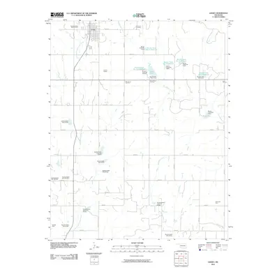 2010 Leedey2010 Print · USGSLeedey and its surrounding rural townships are mapped here in the first decade of the new millennium. Researchers can trace family history at Evergreen Cemetery or New Herman Cemetery and locate numerous local landmarks like Haxton Airport and Leedey Lake.
 - 2010 Map of Lenora, 2010 Print
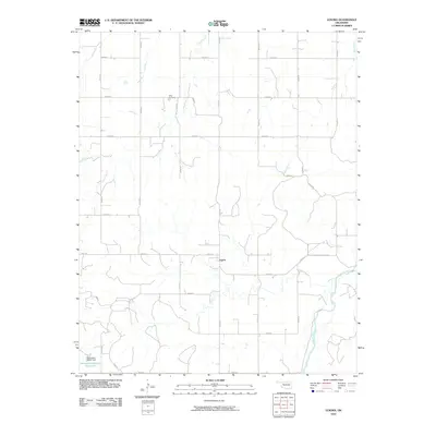 2010 Lenora2010 Print · USGSDewey County at the start of the 2010s shows a landscape of river-bottom lands and upland section roads. Genealogists and local historians can locate Riley Cemetery and the settlement of Lenora north of the Canadian River.
 - 2010 Map of Putnam, 2010 Print
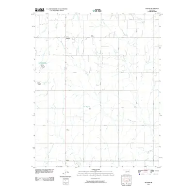 2010 Putnam2010 Print · USGSDewey County at the start of the millennium reflects a landscape defined by sectional farming and modern water management. Genealogists and local historians can trace family locations near Merck Cemetery, Liberty Cemetery, and the community of Putnam.
 - 2010 Map of Putnam NW, 2010 Print
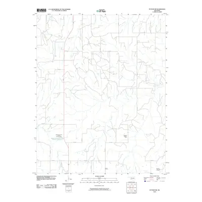 2010 Putnam NW2010 Print · USGSDewey County at the start of the 21st century reveals a landscape shaped by rural agriculture and vital water management projects. Researchers can locate Fairview Cemetery or trace the paths of Trail Creek and Sorter Creek near several erosion control dams.
 - 2010 Map of Orion, 2010 Print
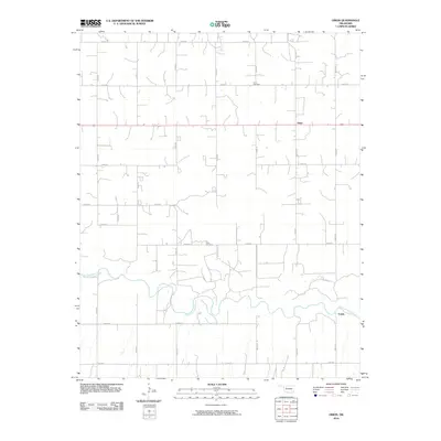 2010 Orion2010 Print · USGSDewey County’s rural agricultural character is well preserved here in the first decade of the new millennium. Genealogists and local historians can locate family landmarks like Orion Cemetery and Hope Cemetery or trace the winding banks of the North Canadian River.
 - 2010 Map of Aledo NE, 2010 Print
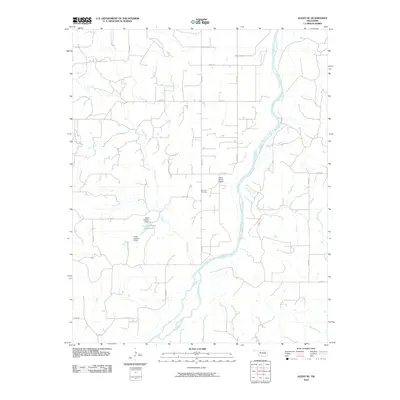 2010 Aledo NE2010 Print · USGSDewey County’s rural landscape is captured here in the early twenty-first century, showing the wide path of the Canadian River. Genealogists and local researchers can locate Raymond Cemetery and trace water management at the Chain Number 3 Reservoir and Chain Number 8 Dam.
 - 2010 Map of Seiling, 2010 Print
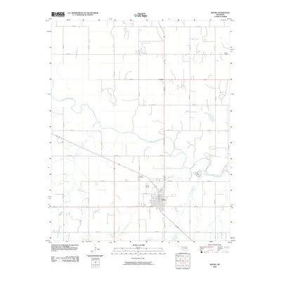 2010 Seiling2010 Print · USGSNorthwest Oklahoma's river valley comes to life in this detailed view of Dewey County from the late 2000s. Genealogists and local historians can locate specific family burial sites at Brumfield Cemetery and Chester Cemetery while tracing the winding path of the North Canadian River.
 - 2010 Map of Aledo, 2010 Print
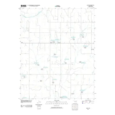 2010 Aledo2010 Print · USGSThis Dewey County landscape during the early 2000s showcases a rural community defined by the Canadian River and an intricate network of water management. Researchers can trace the local road grid to Aledo, Burmah, and the Elm Cemetery or study the extensive chain of numbered Barnitz Creek reservoirs.
 - 2010 Map of Oakwood, 2010 Print
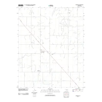 2010 Oakwood2010 Print · USGSOakwood and the surrounding Dewey County prairie appear in this 2010 survey as a structured grid of rural roads and family cemeteries. Genealogists can locate burial sites at the Independent Order of Odd Fellows Cemetery and trace the paths of Ninemile Creek and Leonel.
Showing maps 1-25 of 109
Top cities of Dewey County
- Seiling historical maps
- Vici historical maps
- Taloga historical maps
- Leedey historical maps
- Camargo historical maps
- Oakwood historical maps
See more
Frequently asked questions
- What are the different types of historical maps available for Dewey County?
- What is the oldest map of Dewey County?
- Where can I purchase historical maps of Dewey County for my home or office?
- Where can I download high-res historical maps of Dewey County?
- Are there historical topographic maps available for Dewey County?
- Is there historical aerial imagery available for Dewey County?
- Where are historical maps of Dewey County sourced from?