2010s Maps of Nowata County, Oklahoma
Explore 64 historic maps of Nowata County from the 2010s. These maps offer a rare glimpse into what life looked like during the 2010s — showing old roads, neighborhoods, homes, and landmarks that have changed or disappeared over time.
Whether you're researching your family's past, planning a metal detecting trip, or studying how Nowata County's landscape evolved across the 2010s, these high-resolution maps are a powerful tool for exploring the history of this region.
- Focus on a specific era: All maps on this page are from the 2010s, giving you a focused view of this time period.
- See what’s changed: Compare century-old streets, trails, and buildings to today's modern landscape using overlays and satellite layers.
- Research with precision: Use these maps for genealogy, historical research, land use analysis, or educational projects.
- View, download, or print: Maps are fully viewable online in high resolution, and can be downloaded or printed for your own records.
Start exploring Nowata County's history through authentic maps from the 2010s. This is your window into the past.
Nowata County, OK maps
(64)- 2010 Map of Winganon, 2010 Print
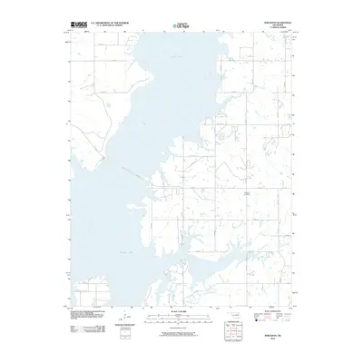 2010 Winganon2010 Print · USGSThe waters of Oologah Lake define the geography of Rogers County in this early twenty-first-century survey. Local researchers can trace the rural road network surrounding the Winganon Cemetery or follow the paths of Spencer Creek and Plumb Creek.
 - 2010 Map of Nowata West, 2010 Print
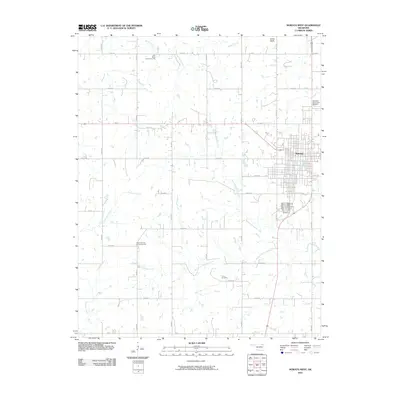 2010 Nowata West2010 Print · USGSNowata and its surrounding rural prairie are shown here in the first decade of the 2000s, reflecting a landscape of agricultural grids and river branches. You can trace family sites at Memorial Park Cemetery and Taylor Cemetery or locate old gathering places like Elm Bend Community Hall.
 - 2010 Map of Chelsea, 2010 Print
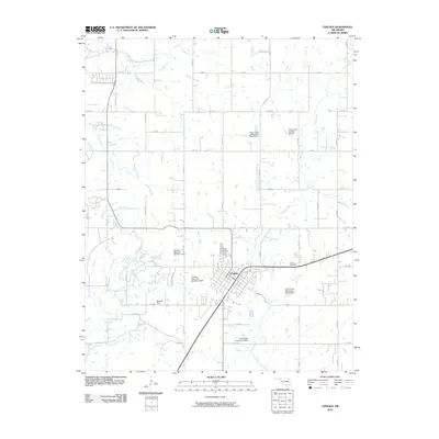 2010 Chelsea2010 Print · USGSChelsea and its surrounding Rogers County farmsteads are captured in the early 21st century. Genealogists can locate family sites like Snider Cemetery and Monarch Field or trace the managed waters of Pryor Creek and its many watershed dams.
 - 2010 Map of Sanders, 2010 Print
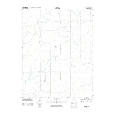 2010 Sanders2010 Print · USGSNortheast Oklahoma’s rural landscape is mapped here in the early 2000s, showing a grid of ranch roads and winding waterways. Genealogists and local historians can locate Martin Cemetery and the ranching heritage of Halsell Ranch near Twin Bridges.
 - 2010 Map of Nowata East, 2010 Print
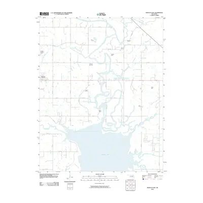 2010 Nowata East2010 Print · USGSNowata County in the early twenty-first century is defined by the winding waters of the Verdigris River and the northern expanse of Oologah Lake. Researchers can trace local lineage through several well-documented burial grounds like Secondine Cemetery and Armstrong Cemetery or locate the rural settlement at Coodys Bluff.
 - 2010 Map of Chelsea NW, 2010 Print
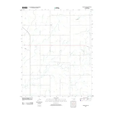 2010 Chelsea NW2010 Print · USGSThe rural landscapes of Craig County are captured here just over a decade ago, showing an intricate grid of section-line roads and family lands. Researchers can locate McMains Cemetery and Madden Cemetery along the drainage of Madden Creek.
 - 2010 Map of Oglesby, 2010 Print
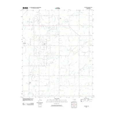 2010 Oglesby2010 Print · USGSOklahoma's rural Washington County is documented here in the early 2000s, showing a landscape shaped by ranching and oil. Family researchers can locate Oglesby Cemetery and Willey Cemetery or trace the drainage of Hogshooter Creek and Curl Creek.
 - 2010 Map of Blue Mound, 2010 Print
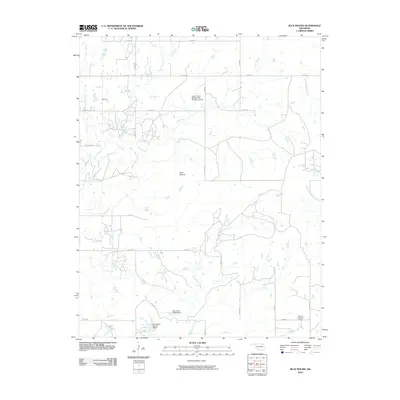 2010 Blue Mound2010 Print · USGSNortheastern Oklahoma at the turn of the millennium is seen here through its managed water systems and rural crossroads. Genealogists and local historians can trace the landscape near Wayside or locate landmarks like Blue Mound and the Cotton Coon Mission Site Number 12 Dam.
 - 2010 Map of Bartlesville SE, 2010 Print
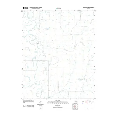 2010 Bartlesville SE2010 Print · USGSRogers County at the start of the 21st century reveals a landscape where the Caney River dictates the terrain. Genealogists can trace family landmarks like Tyner Cemetery and Buck Creek Cemetery amidst a network of rural routes and the Wagoner Lake Dam.
 - 2010 Map of Childers, 2010 Print
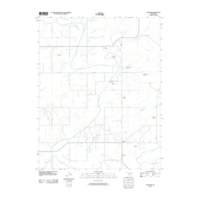 2010 Childers2010 Print · USGSThe Verdigris River valley in northeastern Oklahoma is shown in detail during the early twenty-first century. Genealogists can locate several family burial grounds including Goodtraveler Cemetery, Wells Cemetery, and Lowrey Cemetery.
 - 2010 Map of Talala, 2010 Print
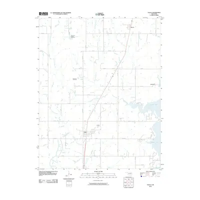 2010 Talala2010 Print · USGSEastern Rogers County appears here at the start of the 2010s, where traditional prairie townships meet the sprawling shoreline of Oologah Lake. Researchers can trace the local road network through Talala and Watova or locate landmarks like the Fair View Cemetery.
 - 2010 Map of Delaware, 2010 Print
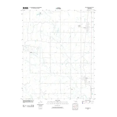 2010 Delaware2010 Print · USGSNowata County, Oklahoma, is shown in the early twenty-first century as a landscape of grid-aligned farm roads and wandering creeks. Genealogists can locate Mount Washington Cemetery and Bezoin Cemetery, while tracing the rural outposts of Lenapah and Delaware.
 - 2010 Map of Hayrick Mound, 2010 Print
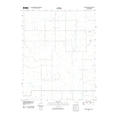 2010 Hayrick Mound2010 Print · USGSLabette County, Kansas, is captured at the turn of the 21st century as a quiet landscape of agricultural section lines and prairie creeks. Genealogists and local historians can trace the rural layout around Lain Cemetery, Plainview Cemetery, and the prominent Hayrick Mound.
 - 2010 Map of Wann, 2010 Print
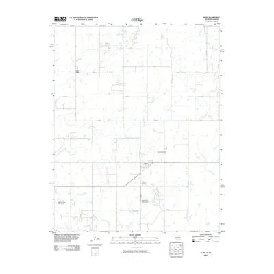 2010 Wann2010 Print · USGSNorthern Nowata County at the Kansas border reveals a landscape of dispersed farmsteads and essential water infrastructure during the early twenty-first century. Researchers can locate the Wann townsite and Patrick Cemetery or trace waterways like California Creek and Cotton Creek.
 - 2010 Map of South Coffeyville, 2010 Print
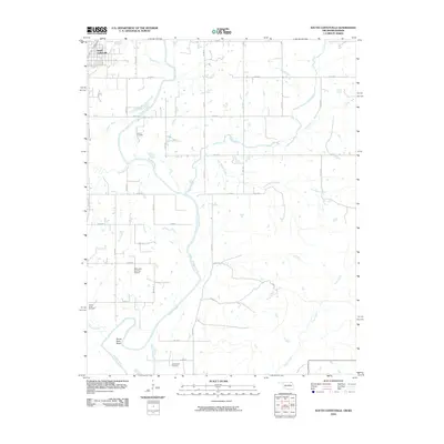 2010 South Coffeyville2010 Print · USGSThe Oklahoma-Kansas border country comes into focus in this late-era survey of the Verdigris River valley. Genealogists and local researchers can trace family-named sites like Melton Cemetery and explore the river's winding path at Goose Neck Bend.
 - 2010 Map of Elliott, 2010 Print
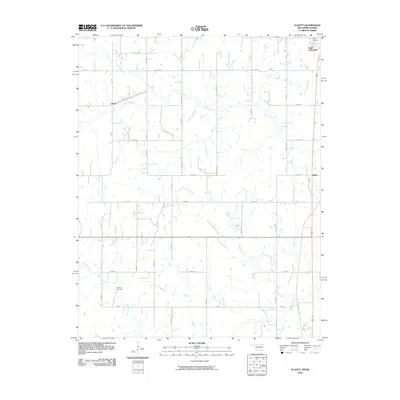 2010 Elliott2010 Print · USGSThe Oklahoma-Kansas borderlands are captured here in the early 21st century, showing the rural reaches of Nowata County. Researchers can trace family history at Calvary Cemetery and Steward Cemetery or locate the quiet settlements of Noxie and Elliott.
 - 2012 Map of Bartlesville SE, 2012 Print
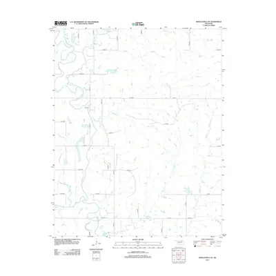 2012 Bartlesville SE2012 Print · USGSRogers County at the start of the 2010s shows a structured landscape where the Caney River winds through a dense grid of rural section-line roads. Researchers can locate the Tyner Cem or trace several named waterways including Hogshooter Cr and Double Cr.
 - 2012 Map of Hayrick Mound, 2012 Print
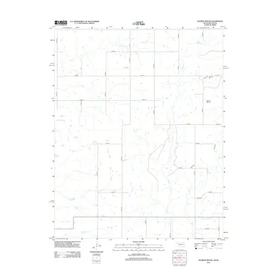 2012 Hayrick Mound2012 Print · USGSThe rural borderlands between Kansas and Oklahoma come into focus in the early 2010s, defined by family-named cemeteries and winding creeks. Local researchers can trace the landscape around Hayrick Mound and locate historic burial sites like Lain Cem and Plainview Cem.
 - 2012 Map of Wann, 2012 Print
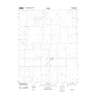 2012 Wann2012 Print · USGSNortheastern Oklahoma's borderlands are captured here in the early twenty-first century, centered on the grid of Wann. Genealogists and local researchers can trace family landmarks like Patrick Cem and the settlement at Cotton Valley.
 - 2012 Map of Oglesby, 2012 Print
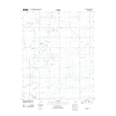 2012 Oglesby2012 Print · USGSWashington County at the start of the 2010s shows a landscape of rural homesteads and established family burial grounds. Genealogists can locate several historic sites including Curleyhead Cemetery, Willey Cemetery, and the community of Oglesby.
 - 2012 Map of Blue Mound, 2012 Print
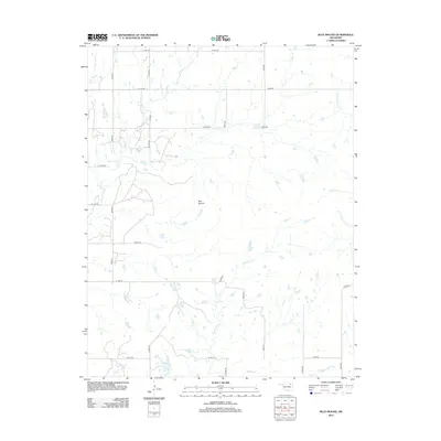 2012 Blue Mound2012 Print · USGSOklahoma's tallgrass prairie landscape is documented here in the early twenty-first century, centered on the prominent rise of Blue Mound. Researchers can trace the winding paths of Hogshooter Cr, Coon Cr, and Little California Cr as they cut through the rural section-line road grid.
 - 2013 Map of Winganon, 2013 Print
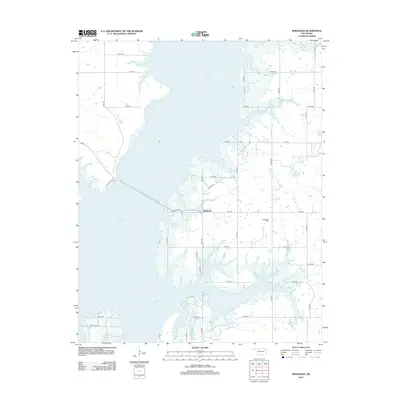 2013 Winganon2013 Print · USGSIn the early twenty-first century, the shoreline of Rogers County was defined by the expansion of the lake and the persistence of small rural hubs. You can trace the long causeway leading to Winganon and find the site of the Winganon Cem among a network of rural routes like Allens Point Dr.
 - 2013 Map of Chelsea NW, 2013 Print
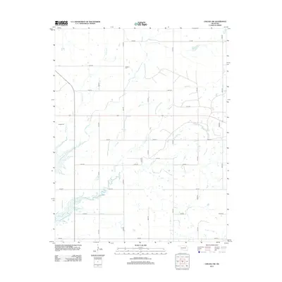 2013 Chelsea NW2013 Print · USGSOklahoma's rural ranching country is documented here during the early twenty-first century, showing a landscape defined by prairie creeks and section lines. Researchers can locate family burial sites at McMains Cem and Madden Cem or trace the winding course of Lightning Cr.
 - 2013 Map of Sanders, 2013 Print
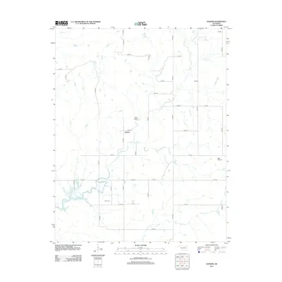 2013 Sanders2013 Print · USGSNowata County’s rural crossroads and prairie drainages come into focus in the early twenty-first century. Researchers can trace family history at Martin Cem and explore the geography around the Sanders settlement and Blue Mound.
 - 2013 Map of South Coffeyville, 2013 Print
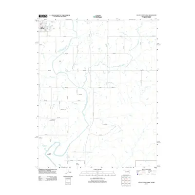 2013 South Coffeyville2013 Print · USGSSouth Coffeyville and the surrounding Nowata County countryside are shown here in the early twenty-first century as the Verdigris River snakes through the local landscape. Genealogists and researchers can locate several rural cemeteries like Melton Cem and Goose Neck Cem or trace landmarks such as Goose Neck Bend and Belleview Landing Airport.
Showing maps 1-25 of 64
Top cities of Nowata County
- Nowata historical maps
- South Coffeyville historical maps
- Delaware historical maps
- Lenapah historical maps
- Wann historical maps
Frequently asked questions
- What are the different types of historical maps available for Nowata County?
- What is the oldest map of Nowata County?
- Where can I purchase historical maps of Nowata County for my home or office?
- Where can I download high-res historical maps of Nowata County?
- Are there historical topographic maps available for Nowata County?
- Is there historical aerial imagery available for Nowata County?
- Where are historical maps of Nowata County sourced from?