2010s Maps of Woods County, Oklahoma
Explore 106 historic maps of Woods County from the 2010s. These maps offer a rare glimpse into what life looked like during the 2010s — showing old roads, neighborhoods, homes, and landmarks that have changed or disappeared over time.
Whether you're researching your family's past, planning a metal detecting trip, or studying how Woods County's landscape evolved across the 2010s, these high-resolution maps are a powerful tool for exploring the history of this region.
- Focus on a specific era: All maps on this page are from the 2010s, giving you a focused view of this time period.
- See what’s changed: Compare century-old streets, trails, and buildings to today's modern landscape using overlays and satellite layers.
- Research with precision: Use these maps for genealogy, historical research, land use analysis, or educational projects.
- View, download, or print: Maps are fully viewable online in high resolution, and can be downloaded or printed for your own records.
Start exploring Woods County's history through authentic maps from the 2010s. This is your window into the past.
Woods County, OK maps
(106)- 2010 Map of Waynoka East, 2010 Print
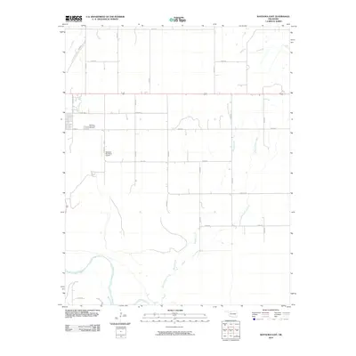 2010 Waynoka East2010 Print · USGSWoods County agriculture and the eastern outskirts of Waynoka are captured here during the first decade of the millennium. Researchers can trace land holdings near the Cimarron River or locate family sites by the Waynoka Municipal Cemetery.
 - 2010 Map of Edith, 2010 Print
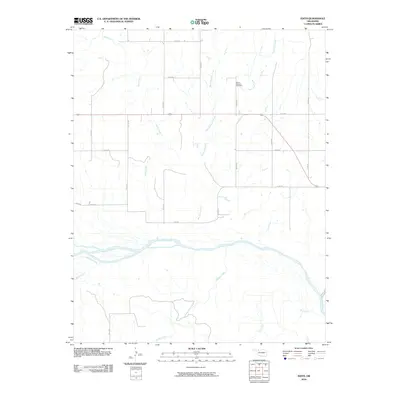 2010 Edith2010 Print · USGSWoods County ranching and river lands are documented here in the first decade of the new millennium. Researchers can trace land ties near the Cimarron River or locate family plots at Mount Pleasant Cemetery near West Moccasin Creek.
 - 2010 Map of Fairvalley, 2010 Print
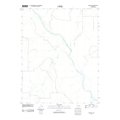 2010 Fairvalley2010 Print · USGSThe Oklahoma prairie near the turn of the 21st century remains defined by the braided channels of the Cimarron River. Researchers can trace the drainage of the plains via named watercourses like Wildcat Creek and Doe Creek along the rural section-line roads.
 - 2010 Map of Freedom, 2010 Print
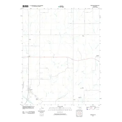 2010 Freedom2010 Print · USGSWoods County ranching country is shown here in the early twenty-first century as the town of Freedom sits along the Cimarron River. Researchers can trace local family history at Freedom Cemetery, Preston Hill Cemetery, and the historic site of Camp Houston.
 - 2010 Map of Avard, 2010 Print
 2010 Avard2010 Print · USGSOklahoma's high plains are documented in this late-aughts survey of Woods County. Genealogists and local researchers can trace the roads around Avard and find landmarks such as the Memorial Hill Cemetery, Buckland Reservoir, and Avard Lake.
 - 2010 Map of Togo, 2010 Print
 2010 Togo2010 Print · USGSMajor County, Oklahoma, is shown in the early twenty-first century as a landscape of energy production and quiet rural roads. Genealogists and local historians can locate family landmarks such as Lone Star Cemetery, Connor Cemetery, and the East Campbell Gas Field.
 - 2010 Map of Tegarden SE, 2010 Print
 2010 Tegarden SE2010 Print · USGSWoods County is shown at the end of the first decade of the millennium, defined by its rural road grid and deep prairie roots. Genealogists and local historians can locate legacy burial grounds at Star Cemetery and Manila Cemetery or trace the winding course of Little Eagle Chief Creek.
 - 2010 Map of Tegarden, 2010 Print
 2010 Tegarden2010 Print · USGSWoods County remains a landscape of sprawling prairie and section-line roads as seen in the early twenty-first century. Genealogists and local historians can trace the rural layout around Tegarden, Cora, and the centrally located Whitehorse Cemetery.
 - 2010 Map of Waynoka NW, 2010 Print
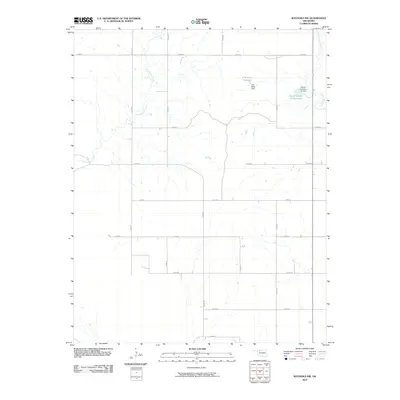 2010 Waynoka NW2010 Print · USGSWoodward County's agricultural heartland is captured here in the early 2000s, showing a landscape shaped by water management and section-line roads. Trace the specific layout of local water sources like P M Miller Reservoir and Eagle Chief Creek.
 - 2010 Map of Waynoka West, 2010 Print
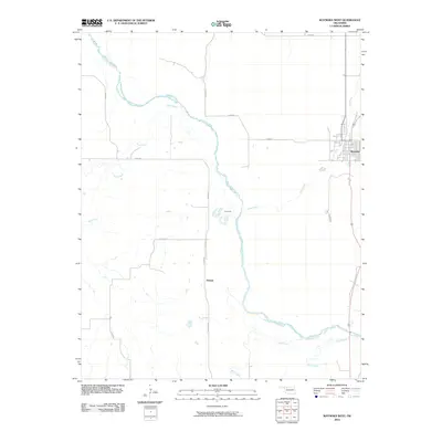 2010 Waynoka West2010 Print · USGSWoods County in the early twenty-first century reveals a landscape shaped by the Cimarron River and its rural road network. Genealogists and researchers can trace the vicinity of Waynoka, the settlement of Heman, and the banks of Dog Creek.
 - 2010 Map of Selman SE, 2010 Print
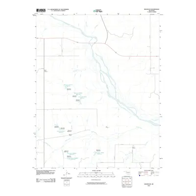 2010 Selman SE2010 Print · USGSNorthwest Oklahoma's ranching and river lands are documented here in the early twenty-first century, showing a landscape defined by water management. Genealogists and local historians can locate Spring Valley Cemetery, Nixon Cemetery, and the notable Salt Springs.
 - 2010 Map of Freedom NW, 2010 Print
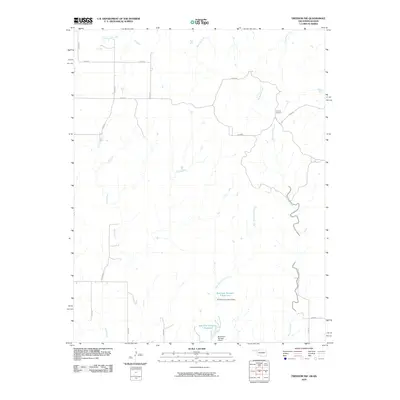 2010 Freedom NW2010 Print · USGSWoods County ranching country is captured here in the early twenty-first century, showing a landscape of drainage basins and isolated landmarks. Researchers can trace family history at the Cowboy Cemetery or locate water infrastructure like the Burnham Number 9 Reservoir.
 - 2010 Map of Tegarden NE, 2010 Print
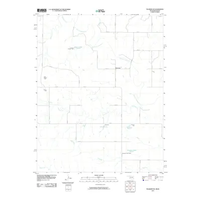 2010 Tegarden NE2010 Print · USGSNorthwest Oklahoma near the Kansas border is defined by its rural waterways and section-line roads in the early twenty-first century. Genealogists and historians can trace local land features like Winchester, Isenbart Number 1 Reservoir, and the Salt Fork Arkansas River.
 - 2010 Map of Alva NW, 2010 Print
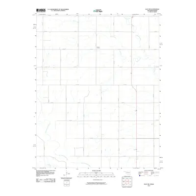 2010 Alva NW2010 Print · USGSThe rural borderlands of Barber County and Oklahoma appear here in the early twenty-first century, structured by a precise grid of section roads. Genealogists and local historians can locate Fairview Cemetery or trace the winding path of the Salt Fork Arkansas River.
 - 2010 Map of Capron, 2010 Print
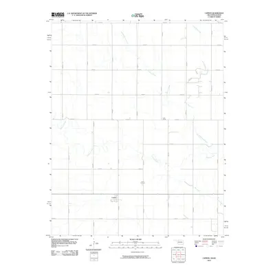 2010 Capron2010 Print · USGSCapron and the surrounding Woods County plains are captured here in the early twenty-first century, showing a landscape defined by ranching and rail. Genealogists and local historians can trace the Capron Cemetery, the rail stop at Loder Siding, and the meanders of Driftwood Creek.
 - 2010 Map of Tegarden NW, 2010 Print
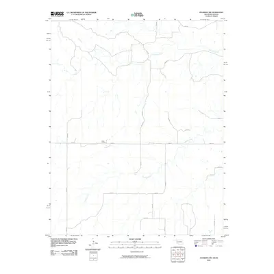 2010 Tegarden NW2010 Print · USGSThe rural expanse of the Oklahoma-Kansas border is captured here during the first decade of the 2000s. Researchers can locate Ewing Cemetery and trace the winding paths of Yellowstone Creek and Greenleaf Creek.
 - 2010 Map of Selman NW, 2010 Print
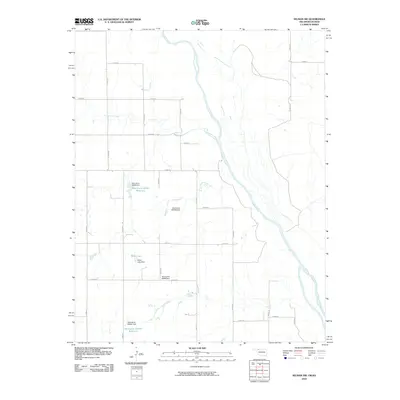 2010 Selman NW2010 Print · USGSThe northern Oklahoma plains meet the Cimarron River in this 2010 landscape, where water management defines the rural geography. Researchers can trace local hydrology through features like Miller Lake and the Oknoname 059047 Reservoir.
 - 2010 Map of Freedom NE, 2010 Print
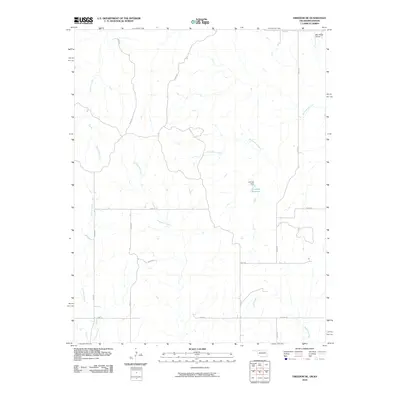 2010 Freedom NE2010 Print · USGSThe borderlands of Barber County and Oklahoma appear in this early twenty-first century survey of ranching country. Researchers can trace land use through features like Lenhart Reservoir, May Ranch Airport, and the winding path of Red Fork Creek.
 - 2010 Map of Lookout, 2010 Print
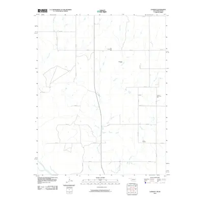 2010 Lookout2010 Print · USGSIn this corner of Harper County during the early 2000s, the rural community centers and prairie drainages define the landscape. Genealogists and local historians can locate Lookout Cemetery, Coy Community Hall, and the small settlement of Lookout along the Cimarron River.
 - 2012 Map of Protection SW, 2012 Print
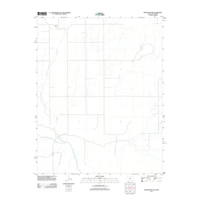 2012 Protection SW2012 Print · USGSComanche County prairie life is documented here in the early twenty-first century as it meets the Oklahoma border. Genealogists and local historians can locate the Mennonite Cem and trace the winding paths of the Cimarron River and Bluff Cr.
 - 2012 Map of Buttermilk, 2012 Print
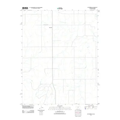 2012 Buttermilk2012 Print · USGSThe Kansas-Oklahoma borderlands in the early 21st century are characterized by a quiet agricultural landscape and the wide plains of Comanche County. Genealogists and historians can trace the local drainage of Sheele Cr and Anderson Cr near the settlement of Buttermilk.
 - 2012 Map of Lookout, 2012 Print
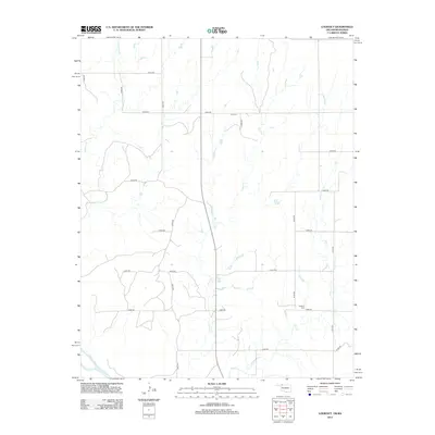 2012 Lookout2012 Print · USGSHarper County's borderlands with Kansas appear as a vast agricultural grid in this early twenty-first-century survey. Genealogists and local historians can locate rural landmarks like Lookout Cem and Coy Cem near the banks of Keno Cr.
 - 2012 Map of Edith, 2012 Print
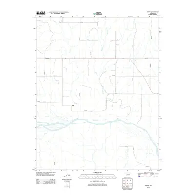 2012 Edith2012 Print · USGSWoods County remains a landscape of wide river valleys and sparse prairie settlements during the early twenty-first century. Genealogists and local historians can map the rural grid between Plainview and Edith or locate burials at Mt Pleasant Cem.
 - 2012 Map of Fairvalley, 2012 Print
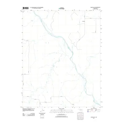 2012 Fairvalley2012 Print · USGSIn the early twenty-first century, this portion of Woods County reveals a classic Oklahoma landscape defined by the Cimarron River. Trace the rural intersection at Fairvalley and the many prairie stream crossings at Whitehorse Cr and Wildcat Cr.
 - 2012 Map of Selman NW, 2012 Print
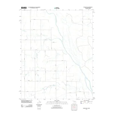 2012 Selman NW2012 Print · USGSThe Oklahoma-Kansas borderlands are defined by the wide sweep of the Cimarron River in this modern survey of Harper County. Genealogists and local historians can locate the Lutheran Cem and trace rural lifelines like Lodge Pole Cr and Miller Lake.
Showing maps 1-25 of 106
Top cities of Woods County
- Alva historical maps
- Waynoka historical maps
- Freedom historical maps
- Dacoma historical maps
- Capron historical maps
- Avard historical maps
Frequently asked questions
- What are the different types of historical maps available for Woods County?
- What is the oldest map of Woods County?
- Where can I purchase historical maps of Woods County for my home or office?
- Where can I download high-res historical maps of Woods County?
- Are there historical topographic maps available for Woods County?
- Is there historical aerial imagery available for Woods County?
- Where are historical maps of Woods County sourced from?