2000s (21st Century) Maps of Curry County, Oregon
Explore 257 historic maps of Curry County from the 2000s (21st Century). These maps offer a rare glimpse into what life looked like during the 2000s — showing old roads, neighborhoods, homes, and landmarks that have changed or disappeared over time.
Whether you're researching your family's past, planning a metal detecting trip, or studying how Curry County's landscape evolved across the 2000s, these high-resolution maps are a powerful tool for exploring the history of this region.
- Focus on a specific era: All maps on this page are from the 2000s, giving you a focused view of this time period.
- See what’s changed: Compare century-old streets, trails, and buildings to today's modern landscape using overlays and satellite layers.
- Research with precision: Use these maps for genealogy, historical research, land use analysis, or educational projects.
- View, download, or print: Maps are fully viewable online in high resolution, and can be downloaded or printed for your own records.
Start exploring Curry County's history through authentic maps from the 2000s. This is your window into the past.
Curry County, OR maps
(257)- 2011 Map of Sixes, 2011 Print
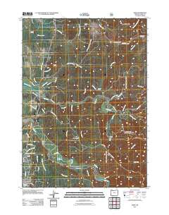 2011 Sixes2011 Print · USGSCoastal Curry County is shown here in the early twenty-first century, centered on the Sixes River valley and northern Port Orford. Genealogists and local historians can trace family-named sites like Madden Butte, locate the Sixes Post Office, and map the rural road network including Hensley Hill Rd.
 - 2011 Map of Carpenterville, 2011 Print
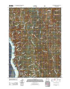 2011 Carpenterville2011 Print · USGSThe Oregon coast at the start of the 2010s remains a landscape of high ridges and deep river canyons. Genealogists and local historians can trace the paths of Carpenterville Rd, the site of Joe Hostler Camp, and the heights of Burnt Hill Summit.
 - 2011 Map of Barklow Mountain, 2011 Print
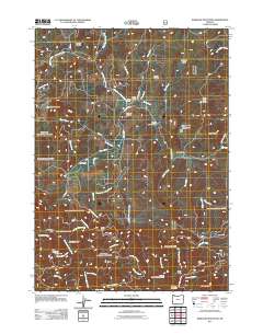 2011 Barklow Mountain2011 Print · USGSCoos County ranching and mining history come into focus in this recent study of the Oregon Coast Range mountains. Genealogists and local researchers can locate family sites like Avery Ranch and Dement Ranch, or find the Huckleberry Knoll Cemetery and Blue Jay Mine.
 - 2011 Map of Big Craggies, 2011 Print
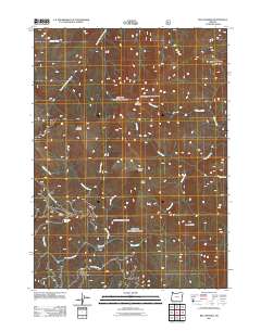 2011 Big Craggies2011 Print · USGSThe Klamath Mountains of Josephine County are shown in great detail during the early 2010s, focusing on the high ridges and river canyons. Researchers can locate remote outposts like Tolman Ranch and Jacks Camp alongside the protected Big Craggies Botanical Area.
 - 2011 Map of Mount Butler, 2011 Print
 2011 Mount Butler2011 Print · USGSSiskiyou National Forest land in Curry County comes into focus during the early twenty-first century. Researchers can trace the drainage of the Sixes River and locate remote landmarks like the Inman Mine, Plum Trees, and Taylor Ranch.
 - 2011 Map of Mount Bolivar, 2011 Print
 2011 Mount Bolivar2011 Print · USGSCoastal Oregon high country comes into focus in this early 21st-century survey of the Douglas County peaks. Map enthusiasts and hikers can trace the access roads leading to Fuller Mine, locate the remote Cold Spring Camp, or study the headwaters of the South Fork Coquille River.
 - 2011 Map of Kelsey Peak, 2011 Print
 2011 Kelsey Peak2011 Print · USGSThe Rogue River wilderness in Josephine County is seen here at the start of the 2010s, defined by its historic river bars and rugged drainages. Trace remote landmarks like China Bar, the Winkle Bar Airstrip, and the high reaches of Kelsey Peak.
 - 2011 Map of Chetco Peak, 2011 Print
 2011 Chetco Peak2011 Print · USGSCurry County's high ridges and river headwaters are captured here during the early twenty-first century. Researchers can trace the area's mining and forestry history through sites like Gardner Mine, Madstone Cabin, and Fresno Camp.
 - 2011 Map of Silver Peak, 2011 Print
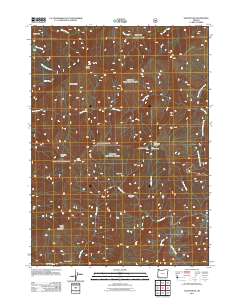 2011 Silver Peak2011 Print · USGSJosephine County’s high country is documented here in the early twenty-first century, showing a remote landscape of river bars and mountain prairies. Researchers can locate seasonal outposts like Bald Mountain Camp and Fantz Ranch, or trace the Illinois River to Deadman Bar.
 - 2011 Map of Pearsoll Peak, 2011 Print
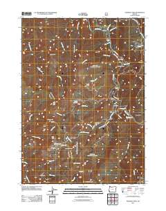 2011 Pearsoll Peak2011 Print · USGSJosephine County’s mountain terrain is documented here in the early twenty-first century, showcasing a landscape shaped by mining and the Illinois River. Geologists and local historians can trace the locations of the Robertson Mine, McCaleb Ranch, and the Fall Creek Copper Mine.
 - 2011 Map of Marial, 2011 Print
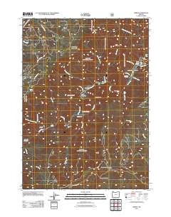 2011 Marial2011 Print · USGSThe Rogue River wilderness is captured here in the early twenty-first century, centered on the remote settlement of Marial. Researchers can trace old family sites at Mule Creek Cemetery and explore the geography of the canyon near Rogue River Ranch and Mule Creek Canyon.
 - 2011 Map of Hobson Horn, 2011 Print
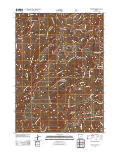 2011 Hobson Horn2011 Print · USGSJosephine County’s remote backcountry is mapped in detail during the early twenty-first century, showing a landscape defined by ridges and deep creek drainages. Researchers can locate forest outposts like Camp Howard and Sourgrass Camp or trace the many forks of West Fork Indigo Creek.
 - 2011 Map of Josephine Mountain, 2011 Print
 2011 Josephine Mountain2011 Print · USGSJosephine County’s high country in the early twenty-first century remains a landscape of remote camps and historic mining claims. Trace the legacy of mountain extraction and recreation at Babyfoot Mine, Onion Camp, and the secluded Bailey Cabin.
 - 2011 Map of Biscuit Hill, 2011 Print
 2011 Biscuit Hill2011 Print · USGSCurry County's backcountry is captured here during the early twenty-first century, showing a landscape defined by deep drainages and remote forest camps. Researchers can locate specific outposts like McKee Cabin, Sourdough Camp, and the high point of Biscuit Hill.
 - 2011 Map of Agness, 2011 Print
 2011 Agness2011 Print · USGSAgness sits at the historic meeting of the waters in the early twenty-first century. Genealogists and local historians can locate Oak Flats Cemetery, the Agness Post Office, and named river landmarks like Tom Fry Eddy and Walker Bar.
 - 2011 Map of Bosley Butte, 2011 Print
 2011 Bosley Butte2011 Print · USGSCurry County's high coastal ridges and river bars are documented here in the early twenty-first century. Researchers can trace the forestry road networks and identify high-elevation landmarks such as Bosley Butte, Gardner Bar, and Wilson Prairie.
 - 2011 Map of Quosatana Butte, 2011 Print
 2011 Quosatana Butte2011 Print · USGSCoastal Curry County's interior mountains appear here during the early twenty-first century, showing a remote landscape of canyons and high timber. Researchers can trace the river landings and isolated homesteads of the Siskiyous, from Fry Landing to Wilson Cabin and the Wildhorse Lookout.
 - 2011 Map of Collier Butte, 2011 Print
 2011 Collier Butte2011 Print · USGSCoastal Oregon's high ridges and river forks are mapped here during the early twenty-first century. Researchers can locate remote forest outposts and water sources like Stack Yards, Panther Lake, and the Mineral Spring.
 - 2011 Map of Signal Buttes, 2011 Print
 2011 Signal Buttes2011 Print · USGSThe Rogue River corridor near the Oregon coast is shown in the early twenty-first century, featuring a landscape of river bars and upland prairies. Genealogists and local historians can trace family-named sites like Bagnell Ferry, Rumley Hill Cemetery, and the McKinley Mine.
 - 2011 Map of Sundown Mountain, 2011 Print
 2011 Sundown Mountain2011 Print · USGSCoastal Oregon's interior highlands are documented here during the early 2000s, showcasing the intricate watersheds of the Pistol River and Hunter Creek. Researchers can locate historic local landmarks like Wests Mine, Gardner Ranch, and Pyramid Rock.
 - 2011 Map of Buckskin Peak, 2011 Print
 2011 Buckskin Peak2011 Print · USGSSouthern Oregon's Josephine County mountains appear here just after the turn of the millennium. Modern researchers can trace forestry access roads and drainage networks to sites like the Alberg Mine, Frantz Meadow, and Buckskin Peak.
 - 2011 Map of Mount Emily, 2011 Print
 2011 Mount Emily2011 Print · USGSThe Oregon coast and Siskiyou backcountry meet in the early twenty-first century as the Chetco River and Winchuck River flow toward the Pacific. Researchers can locate the Pioneer Cemetery, trace the Mount Emily Trail, and find landmarks like Tamba Ranch.
 - 2011 Map of Quail Prairie Mountain, 2011 Print
 2011 Quail Prairie Mountain2011 Print · USGSCurry County's high ridges and river canyons are documented here in the early 2010s, showing a landscape defined by forest service infrastructure. Researchers can trace the drainage of the Chetco River and find landmarks like Packers Cabin Group Camp or Swede Heaven.
 - 2011 Map of Father Mountain, 2011 Print
 2011 Father Mountain2011 Print · USGSThe high Siskiyou backcountry of Curry County is captured here in the early twenty-first century, showing a landscape defined by steep peaks and forest service access. Researchers can trace the Elk River past Sunshine Mine or locate remote sites like Mountain Well Camp.
 - 2011 Map of Horse Sign Butte, 2011 Print
 2011 Horse Sign Butte2011 Print · USGSThe Illinois River backcountry of Josephine County is documented here in the early 2000s, showing a landscape of high peaks and isolated forest camps. Researchers can locate remote sites like Hurt Cabin and Brandon Camp or trace the waters of Game Lake and the Illinois River.
Showing maps 1-25 of 257
Top cities of Curry County
Frequently asked questions
- What are the different types of historical maps available for Curry County?
- What is the oldest map of Curry County?
- Where can I purchase historical maps of Curry County for my home or office?
- Where can I download high-res historical maps of Curry County?
- Are there historical topographic maps available for Curry County?
- Is there historical aerial imagery available for Curry County?
- Where are historical maps of Curry County sourced from?