2020s Maps of Curry County, Oregon
Explore 102 historic maps of Curry County from the 2020s. These maps offer a rare glimpse into what life looked like during the 2020s — showing old roads, neighborhoods, homes, and landmarks that have changed or disappeared over time.
Whether you're researching your family's past, planning a metal detecting trip, or studying how Curry County's landscape evolved across the 2020s, these high-resolution maps are a powerful tool for exploring the history of this region.
- Focus on a specific era: All maps on this page are from the 2020s, giving you a focused view of this time period.
- See what’s changed: Compare century-old streets, trails, and buildings to today's modern landscape using overlays and satellite layers.
- Research with precision: Use these maps for genealogy, historical research, land use analysis, or educational projects.
- View, download, or print: Maps are fully viewable online in high resolution, and can be downloaded or printed for your own records.
Start exploring Curry County's history through authentic maps from the 2020s. This is your window into the past.
Curry County, OR maps
(102)- 2020 Map of Mount Emily, 2020 Print
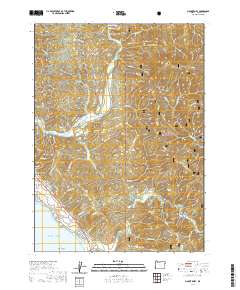 2020 Mount Emily2020 Print · USGSCoastal Curry County meets the Pacific in the 2020s, showcasing a landscape of high ridges and deep river canyons. Genealogists and historians can locate the Pioneer Cem, track the Chetco River to Ostenbery Bar, and explore the shoreline near McVay Rock.
 - 2020 Map of Floras Lake, 2020 Print
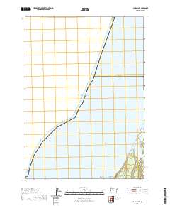 2020 Floras Lake2020 Print · USGSThe southern Oregon coast meets the sea at the start of the 2020s, showing a landscape defined by water and stone. Researchers can trace the shoreline around Floras Lake and locate coastal landmarks like Blacklock Point and Tower Rock.
 - 2020 Map of Calf Ranch Mountain, 2020 Print
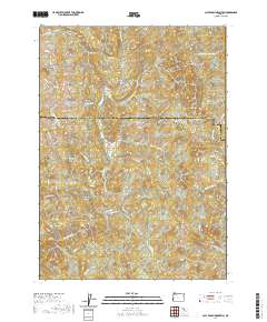 2020 Calf Ranch Mountain2020 Print · USGSThe Southern Oregon coastal mountains come into focus in this recent survey of the Coos and Curry county line. Local historians can trace the headwaters of Floras Creek and locate landmarks like the Ocean View Cem and White Elephant Bridge.
 - 2020 Map of Carpenterville, 2020 Print
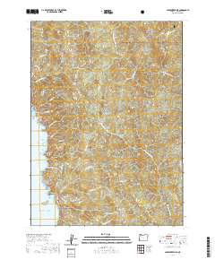 2020 Carpenterville2020 Print · USGSThe Oregon coast at the start of the 2020s is mapped here in detail, from the Pacific shoreline to the deep canyons of the Siskiyou National Forest. Researchers can trace the winding paths of Carpenterville Rd to find Natural Bridges, Whalehead, and Burnt Hill Summit.
 - 2020 Map of Cape Sebastian, 2020 Print
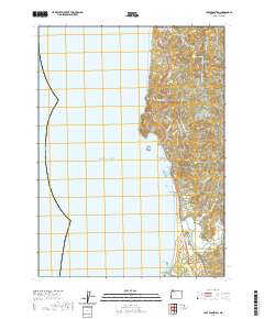 2020 Cape Sebastian2020 Print · USGSCoastal Oregon at the start of the 2020s reveals a landscape shaped by timber history and a jagged Pacific shoreline. Genealogists and local historians can locate the Pistol River Cemetery or trace landmarks like Cape Sebastian and the Pistol River Log Pond.
 - 2020 Map of Langlois, 2020 Print
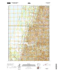 2020 Langlois2020 Print · USGSThe Oregon coast near Denmark and Langlois is captured in the modern era, showing where the New River skirts the shoreline. Genealogists and local historians can locate the Denmark Cem and trace rural routes to Russell Bridge or up to White Mtn.
 - 2020 Map of Father Mountain, 2020 Print
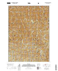 2020 Father Mountain2020 Print · USGSCoastal Oregon highlands in the Siskiyou Mountains are shown here just after the turn of the decade, centered on the Elk Wild and Scenic River. Researchers can trace the drainages of Bald Mountain Creek and Euchre Creek among peaks like Father Mountain and Pearse Peak.
 - 2020 Map of Ophir Mountain, 2020 Print
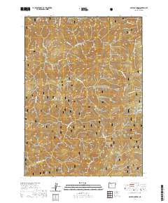 2020 Ophir Mountain2020 Print · USGSThe Oregon Coast Range at the Coos and Curry county line is shown here in the contemporary era, centered on the Elk Wild and Scenic River. Topographic researchers can trace the drainages of Poverty Gulch or locate landmarks like Ophir Mtn and the unique Devils Half Acre.
 - 2020 Map of Fourth of July Creek, 2020 Print
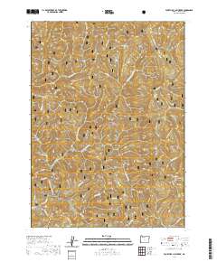 2020 Fourth of July Creek2020 Print · USGSInland Curry County is shown here in the 2020s, dominated by the timbered ridges and river forks of the South Coast Range. Historians and hikers can locate the Japanese Bombing Site and trace the headwaters of the Winchuck River near Packsaddle Mtn.
 - 2020 Map of Cape Blanco OE W, 2020 Print
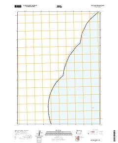 2020 Cape Blanco OE W2020 Print · USGSThe Oregon coastline meets the Pacific Ocean in this maritime survey from the early 2020s. Researchers and coastal historians can trace the offshore geography of Curry County, including the location of the isolated Fox Rock near the shoreline.
 - 2020 Map of Port Orford OE W, 2020 Print
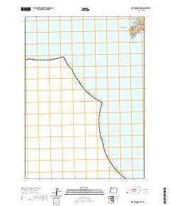 2020 Port Orford OE W2020 Print · USGSThe Oregon coast at Port Orford is captured in this modern survey of the rugged interface between land and sea. Genealogists and local historians can locate the Tichenor Cem and trace the rocky shoreline from The Heads to Nellies Point.
 - 2020 Map of Ophir, 2020 Print
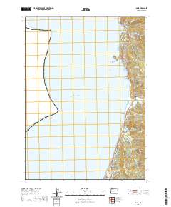 2020 Ophir2020 Print · USGSThe Curry County coastline south of Port Orford appears here in the contemporary era, showing a landscape defined by the intersection of the Pacific and the Coast Range. Researchers can locate Fox Hill Cem, trace the drainage of Euchre Creek, and study the small communities of Ophir and Nesika Beach.
 - 2020 Map of Sundown Mountain, 2020 Print
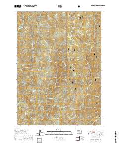 2020 Sundown Mountain2020 Print · USGSCoastal Curry County's interior forest lands are captured here in the early twenty-first century, showing a landscape defined by deep river drainages and high summits. Researchers can trace the network of forest roads leading to landmarks like Sundown Mtn, Red Flat, and the Hunter Creek Bog.
 - 2020 Map of Quosatana Butte, 2020 Print
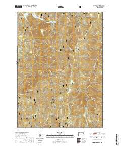 2020 Quosatana Butte2020 Print · USGSCoastal Oregon highlands and the winding Rogue River corridor define this area as it appeared in the early twenty-first century. Researchers can trace historic river landmarks like Lowery Riffle and find old mountain sites such as Fritsche Cabin or Wildhorse Prairie.
 - 2020 Map of Port Orford, 2020 Print
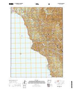 2020 Port Orford2020 Print · USGSThe Curry County coastline and the town of Port Orford appear here in the early twenty-first century, where the forest meets the sea. Researchers can trace the town's historical foundations at Fort Point or locate local landmarks like Battle Rock and Humbug Mtn.
 - 2020 Map of Signal Buttes, 2020 Print
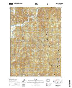 2020 Signal Buttes2020 Print · USGSThe lower Rogue River valley was well-documented in the early twenty-first century, showing a landscape defined by river bars and forest preserves. Genealogists can locate Merriam Cem and Rumley Hill Cem or trace access points like Jacks Lndg and Squaw Valley Rd.
 - 2020 Map of Cape Blanco, 2020 Print
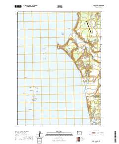 2020 Cape Blanco2020 Print · USGSThe Oregon coast at Cape Blanco comes into focus here, showing the dramatic meeting of the Sixes River and the Pacific. Researchers can trace local landmarks like the Hughes Family Cem and the dangerous outcrops of Blanco Reef.
 - 2020 Map of Gold Beach, 2020 Print
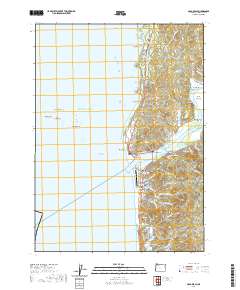 2020 Gold Beach2020 Print · USGSCoastal Oregon at the mouth of the Rogue River comes into focus in this recent study of the Curry County shoreline. Genealogists and local historians can trace family roots at Geisel Cem or Rogue Cem, and locate landmarks like the Ferry Hole Bar and Gold Beach Municipal Airport.
 - 2020 Map of Mack Point, 2020 Print
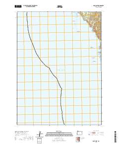 2020 Mack Point2020 Print · USGSCoastal Oregon is mapped here in 2020, showing a dramatic meeting of land and sea defined by prominent offshore stacks and steep cliffs. Researchers can trace the rugged shoreline features from Mack Arch to Black Rock and locate Byrdies Rd.
 - 2020 Map of Mount Butler, 2020 Print
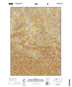 2020 Mount Butler2020 Print · USGSCoastal Curry County is documented here during the early twenty-first century, showing the remote timberlands and peaks of the northern Siskiyous. Researchers can trace forest access via MOORE MILL RD or locate landmarks like Plum Trees, Elephant Rock, and China Peak.
 - 2020 Map of Brookings, 2020 Print
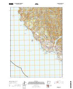 2020 Brookings2020 Print · USGSThe Oregon coast at the mouth of the Chetco River is documented in this contemporary record of Brookings and Harbor. Researchers can trace the development of the riverfront and find local landmarks like Ward Memorial Cem and Harris Beach.
 - 2020 Map of Horse Sign Butte, 2020 Print
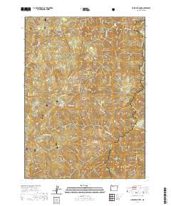 2020 Horse Sign Butte2020 Print · USGSThe Siskiyou mountains of Southwest Oregon come alive in this recent survey of the Illinois River corridor. You can trace the winding Illinois Wild and Scenic River past Buzzards Roost and locate isolated landmarks like Hurt Cabin and Game Lake.
 - 2020 Map of Quail Prairie Mountain, 2020 Print
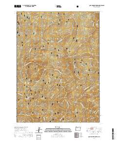 2020 Quail Prairie Mountain2020 Print · USGSThe Southern Oregon Coast Range in the 2020s remains a landscape of high ridges and protected waterways. Researchers can trace the drainage of the S Fork Chetco River and locate remote landmarks like Swede Heaven and Snaketooth Butte.
 - 2020 Map of Collier Butte, 2020 Print
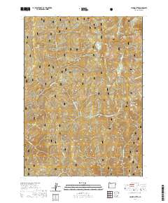 2020 Collier Butte2020 Print · USGSCurry County's wilderness is captured here in the contemporary era, showing the deep drainages and high summits of the Klamath Mountains. Researchers can locate remote forest landmarks like Snow Camp Lookout, Mineral Spring, and the high meadows of Fairview Meadow.
 - 2020 Map of Big Craggies, 2020 Print
 2020 Big Craggies2020 Print · USGSSiskiyou National Forest and the Chetco River basin are documented here in 2020 at the Josephine and Curry County line. Researchers can locate remote landmarks like Snow Camp, Humboldt Spring, and the high-elevation clearings of High Prairie and Lately Prairie.
Showing maps 1-25 of 102
Top cities of Curry County
Frequently asked questions
- What are the different types of historical maps available for Curry County?
- What is the oldest map of Curry County?
- Where can I purchase historical maps of Curry County for my home or office?
- Where can I download high-res historical maps of Curry County?
- Are there historical topographic maps available for Curry County?
- Is there historical aerial imagery available for Curry County?
- Where are historical maps of Curry County sourced from?