2020s Maps of Lake County, Oregon
Explore 366 historic maps of Lake County from the 2020s. These maps offer a rare glimpse into what life looked like during the 2020s — showing old roads, neighborhoods, homes, and landmarks that have changed or disappeared over time.
Whether you're researching your family's past, planning a metal detecting trip, or studying how Lake County's landscape evolved across the 2020s, these high-resolution maps are a powerful tool for exploring the history of this region.
- Focus on a specific era: All maps on this page are from the 2020s, giving you a focused view of this time period.
- See what’s changed: Compare century-old streets, trails, and buildings to today's modern landscape using overlays and satellite layers.
- Research with precision: Use these maps for genealogy, historical research, land use analysis, or educational projects.
- View, download, or print: Maps are fully viewable online in high resolution, and can be downloaded or printed for your own records.
Start exploring Lake County's history through authentic maps from the 2020s. This is your window into the past.
Lake County, OR maps
(366)- 2020 Map of Strawberry Butte, 2020 Print
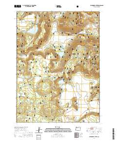 2020 Strawberry Butte2020 Print · USGSThe high timberlands of Lake County are mapped here during the early twenty-first century, showing the remote peaks and water systems of the Fremont National Forest. Outdoorsmen and researchers can locate forest landmarks like Strawberry Butte, Brushy Mtn, and the high waters of Strawberry Reservoir.
 - 2020 Map of Antler Point, 2020 Print
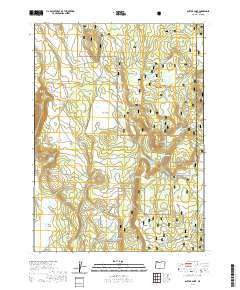 2020 Antler Point2020 Print · USGSKlamath County's high forest and meadow lands are documented here in the modern era. Researchers can trace land use patterns across Fremont National Forest through local landmarks like Antler Point, Johnson Meadow, and Strawberry Flat.
 - 2020 Map of Biscuit Point, 2020 Print
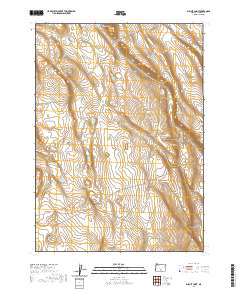 2020 Biscuit Point2020 Print · USGSLake County rangeland remains defined by its sparse water sources and high-desert landmarks in the early twenty-first century. Trace the remote landscape from the heights of Biscuit Point and Twin Buttes down to the vital Keen Waterhole.
 - 2020 Map of West Side, 2020 Print
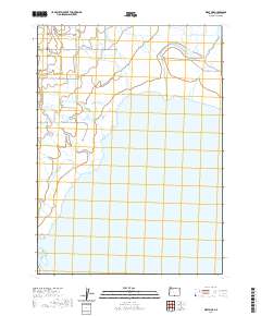 2020 West Side2020 Print · USGSThe West Side of Lake County is shown in this contemporary study of the Goose Lake basin. Researchers can trace the water management of Drews Cr and Thomas Creek alongside family landmarks like Christensen Ln.
 - 2020 Map of Ana River, 2020 Print
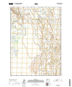 2020 Ana River2020 Print · USGSLake County, Oregon, remains a landscape of high-desert basins and vital water sources in this 2020 survey. Researchers can trace the drainage of the Ana River into the massive Summer Lake or locate the site of Buckhorn Spring.
 - 2020 Map of Hart Lake, 2020 Print
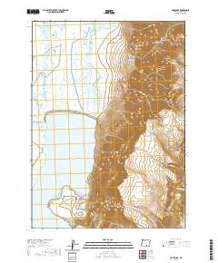 2020 Hart Lake2020 Print · USGSSoutheastern Oregon's high desert reveals its dramatic vertical relief and hydrologic patterns in this recent study of the Warner Valley. Trace the steep drainages of Hart Mtn through De Garmo Canyon, Arsenic Canyon, and along the shores of Hart Lake.
 - 2020 Map of Commodore Ridge, 2020 Print
 2020 Commodore Ridge2020 Print · USGSHigh desert plateaus in Lake County are documented here in the early twenty-first century, showing the remote water-access network of the Oregon outback. Researchers can trace land use through features like Hard Pan Reservoir, Foley Lake, and the precipitous Abert Rim.
 - 2020 Map of Guano Reservoir, 2020 Print
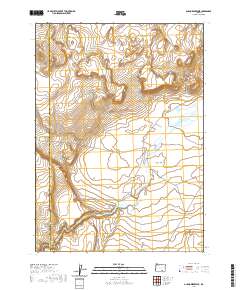 2020 Guano Reservoir2020 Print · USGSHarney County's high-desert basin remains a landscape of seasonal water and volcanic terrain in the early twenty-first century. Researchers can trace the drainage of Guano Slough into the Guano Reservoir or locate the boundary of Catlow Valley near Black Canyon.
 - 2020 Map of Paisley, 2020 Print
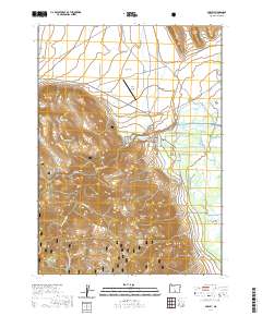 2020 Paisley2020 Print · USGSPaisley sits at the edge of the high desert and national forest in this 2020 record of Oregon's Lake County. Genealogists and local historians can trace the complex irrigation network of the Chewaucan River, from the ZX Brattain Ditch to Admans Mill Pond and Fisher Slough.
 - 2020 Map of Lake Abert North, 2020 Print
 2020 Lake Abert North2020 Print · USGSLake Abert and its towering eastern cliffs are captured in this modern survey of Oregon's high desert. Researchers can trace the narrow passage of Highway 395 tucked between the water and the Abert Rim, or locate the isolated Highway Spring.
 - 2020 Map of Rabbit Hills NW, 2020 Print
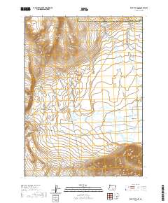 2020 Rabbit Hills NW2020 Print · USGSHigh desert terrain in Harney County is documented here during the early twenty-first century, showing an area shaped by its elevation and seasonal water. Researchers can locate Sherlock Gulch Reservoir and trace the complex topographic contours of this remote Oregon landscape.
 - 2020 Map of Bluejoint Lake East, 2020 Print
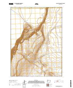 2020 Bluejoint Lake East2020 Print · USGSHarney County in the early twenty-first century reveals a remote landscape of massive escarpments and seasonal lake beds. Researchers can trace the dramatic rise of Poker Jim Ridge above the Bluejoint Lake basin and locate the route of Frenchglen Rd.
 - 2020 Map of Drews Gap, 2020 Print
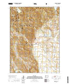 2020 Drews Gap2020 Print · USGSHigh-altitude Lake County rangelands and forest transitions are documented here during the early twenty-first century. Genealogists and historians can trace family-named water features and landmarks like Clyde Fenimore Reservoir, Patton Meadow, and the strategic passage at Drews Gap.
 - 2020 Map of Mahogany Butte, 2020 Print
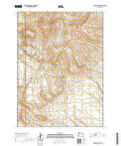 2020 Mahogany Butte2020 Print · USGSHigh desert peaks and essential water sources define this Harney County landscape during the early twenty-first century. Researchers can trace the rugged topography around Mahogany Mtn and locate vital backcountry landmarks like Shirks Lookout and Buckaroo Pass.
 - 2020 Map of Morgan Butte, 2020 Print
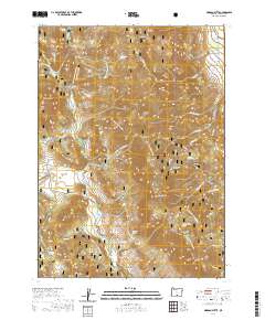 2020 Morgan Butte2020 Print · USGSThe high timberlands and volcanic peaks of Lake County are captured here during the early twenty-first century. Outdoorsmen and local historians can trace the Southern Oregon Intertie Trail across high ridges like Morgan Butte and through quiet openings at Coffeepot Flat.
 - 2020 Map of Coglan Buttes, 2020 Print
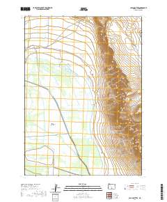 2020 Coglan Buttes2020 Print · USGSLake County ranchlands and high-desert wetlands are shown here in the early twenty-first century as the Upper Chewaucan Marsh meets the rising slopes of the Coglan Buttes. Researchers can trace the extensive irrigation history of the basin through named waterways like Fisher Slough, Jones Canal, and the ZX-Brattain Ditch.
 - 2020 Map of Slide Mountain, 2020 Print
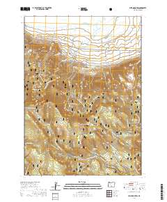 2020 Slide Mountain2020 Print · USGSLake County high country is shown here in the contemporary era, centered on the protected lands of the Fremont National Forest. Outdoorsmen and researchers can trace geothermal features like Gibson Hot Spring or the path of the Sycan Wild and Scenic River.
 - 2020 Map of Crane Creek, 2020 Print
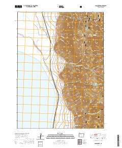 2020 Crane Creek2020 Print · USGSThe eastern shore of Goose Lake meets the forest highlands in this Lake County survey from 2020. Local researchers can trace the roads around New Pine Creek, find the New Pine Creek Cem, and explore landmarks like Thunder Egg Lake.
 - 2020 Map of Juniper Mountain, 2020 Print
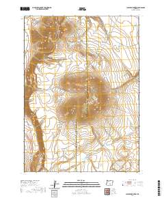 2020 Juniper Mountain2020 Print · USGSHigh-desert rangeland on the Lake and Harney County line comes into focus in this recent survey. Researchers can trace remote water sources and landmarks like Browns Horse Corral Waterhole, Grays Butte, and Radio Springs Reservoir.
 - 2020 Map of Valley Falls, 2020 Print
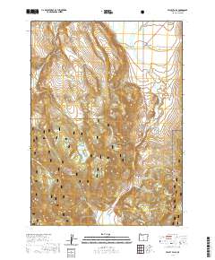 2020 Valley Falls2020 Print · USGSValley Falls and the high-desert terrain of Lake County are captured in this recent survey of the Oregon interior. Trace the water management of the Crooked Creek Valley through features like Coyote Flat Reservoir, Indian Spring, and the High Line Ditch.
 - 2020 Map of Coglan Buttes NE, 2020 Print
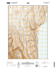 2020 Coglan Buttes NE2020 Print · USGSThe high desert basins of south-central Oregon are captured here in the years following the turn of the millennium. Researchers can trace the dramatic shoreline of Lake Abert and the steep elevation gains through Coglan Canyon.
 - 2020 Map of Shake Butte, 2020 Print
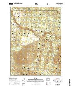 2020 Shake Butte2020 Print · USGSThe Oregon backcountry at the Lake and Klamath county line comes into focus in this recent survey. Local history researchers can trace the course of the Sycan Wild and Scenic River and locate remote landmarks like Shake Butte, Kingry Marsh, and Indian Spring.
 - 2020 Map of Antelope Butte, 2020 Print
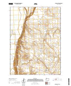 2020 Antelope Butte2020 Print · USGSSoutheastern Oregon's high-desert rangelands are captured here in the modern era, revealing a landscape of volcanic buttes and critical water sources. Researchers can trace remote routes along Beattys Butte Rd and locate vital springs like Snake Eyes Spring and Lane Spring.
 - 2020 Map of Crook Peak, 2020 Print
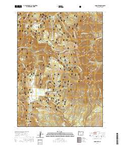 2020 Crook Peak2020 Print · USGSHigh peaks and forested basins of Lake County are captured in this contemporary look at the Oregon backcountry. Researchers can trace historic water sources and recreational routes across Sherman Valley, Bull Prairie, and the Crane Mtn. Natl. Rec. Trail.
 - 2020 Map of Hamelton Butte, 2020 Print
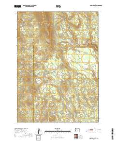 2020 Hamelton Butte2020 Print · USGSThe high country along the Klamath and Lake county border is captured in this recent survey, showcasing a landscape of volcanic buttes and seasonal meadows. Researchers can trace the elevation changes from Hamelton Butte down to Stratton Meadow and Echo Spring.
Showing maps 1-25 of 366
Top cities of Lake County
Frequently asked questions
- What are the different types of historical maps available for Lake County?
- What is the oldest map of Lake County?
- Where can I purchase historical maps of Lake County for my home or office?
- Where can I download high-res historical maps of Lake County?
- Are there historical topographic maps available for Lake County?
- Is there historical aerial imagery available for Lake County?
- Where are historical maps of Lake County sourced from?