2010s Maps of Lake County, Oregon
Explore 555 historic maps of Lake County from the 2010s. These maps offer a rare glimpse into what life looked like during the 2010s — showing old roads, neighborhoods, homes, and landmarks that have changed or disappeared over time.
Whether you're researching your family's past, planning a metal detecting trip, or studying how Lake County's landscape evolved across the 2010s, these high-resolution maps are a powerful tool for exploring the history of this region.
- Focus on a specific era: All maps on this page are from the 2010s, giving you a focused view of this time period.
- See what’s changed: Compare century-old streets, trails, and buildings to today's modern landscape using overlays and satellite layers.
- Research with precision: Use these maps for genealogy, historical research, land use analysis, or educational projects.
- View, download, or print: Maps are fully viewable online in high resolution, and can be downloaded or printed for your own records.
Start exploring Lake County's history through authentic maps from the 2010s. This is your window into the past.
Lake County, OR maps
(555)- 2011 Map of Sixteen Butte, 2011 Print
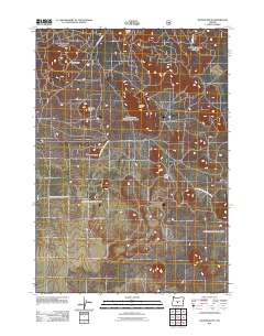 2011 Sixteen Butte2011 Print · USGSDeschutes County in the early twenty-first century reveals a volcanic landscape carved by forest service history. Researchers can trace remote routes like Natl Forest Develop Road 23 to prominent local landmarks like Sixteen Butte and Wigtop Butte.
 - 2011 Map of Fox Butte, 2011 Print
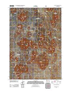 2011 Fox Butte2011 Print · USGSDeschutes County in the early twenty-first century remains a high-desert wilderness dominated by volcanic peaks and forest service management. Trace the network of timber roads to isolated landmarks like Glen Cabin and high-country basins such as Kitteredge Reservoir.
 - 2011 Map of Duncan Reservoir, 2011 Print
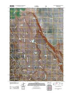 2011 Duncan Reservoir2011 Print · USGSLake County, Oregon, is shown in the early twenty-first century as a land shaped by the search for water in the high desert. Researchers can trace the placement of vital livestock features like O'Keefe Waterhole and Duncan Reservoir.
 - 2011 Map of Egli Rim, 2011 Print
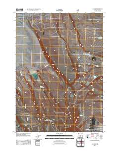 2011 Egli Rim2011 Print · USGSLake County's high desert terrain is captured here in the early twenty-first century as ranching and water management define the landscape. Researchers can trace the drainage of Willow Creek or locate vital range resources like Weaver Waterhole and Egli Rim Reservoir Number Two.
 - 2011 Map of Antelope Mountain, 2011 Print
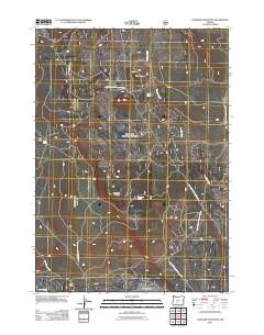 2011 Antelope Mountain2011 Print · USGSThe Oregon backcountry of Klamath County is detailed here just after the turn of the century, showing a remote landscape of volcanic buttes and forest roads. Trace local history through the site of Tobin Cabin or explore the geography around Antelope Mountain and Timothy Butte.
 - 2011 Map of Cabin Lake, 2011 Print
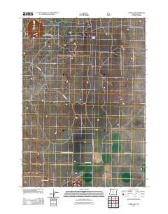 2011 Cabin Lake2011 Print · USGSLake County's high-desert landscape is captured here in the early twenty-first century, showing a remote region defined by volcanic geology. Researchers can trace land management routes like BLM RD 6149-80 and locate landmarks like Fort Rock and Cabin Lake.
 - 2011 Map of Bridge Creek Draw, 2011 Print
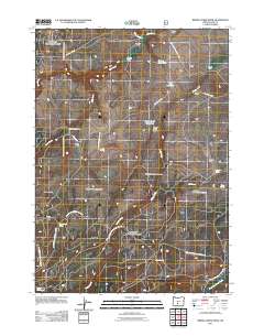 2011 Bridge Creek Draw2011 Print · USGSLake County ranching life in the early 21st century is centered on isolated outposts and vital water sources in this high-desert terrain. Genealogists and historians can locate family-named landmarks like McBroom Ranch and Pitcher Ranch or trace old routes through Buck Creek Crossing.
 - 2011 Map of Oatman Flat, 2011 Print
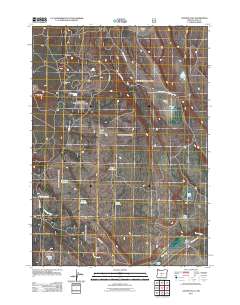 2011 Oatman Flat2011 Print · USGSLake County high desert ranching and water management are detailed in this study from the early twenty-first century. Researchers can locate remote outposts like Wing Butte Cabin, family sites like T Emery Ranch, and distinct landmarks such as Devils Ball Diamond.
 - 2011 Map of Hager Mountain, 2011 Print
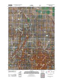 2011 Hager Mountain2011 Print · USGSSilver Lake and the high-desert ranges of Lake County are captured here during a period of modern resource management. Researchers can trace the water-dependent layout of the land through sites like the Hager Mountain Lookout, Gowdy Ranch, and the Silver L Canal.
 - 2011 Map of South Ice Cave, 2011 Print
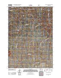 2011 South Ice Cave2011 Print · USGSIn the early 21st century, this high-desert region of Central Oregon shows a landscape shaped by volcanic geology and forest management. Researchers can trace the network of access roads leading to industrial sites like the South Ice Cave Cinder Pit and the trailhead at Lava Pass.
 - 2011 Map of Spring Butte, 2011 Print
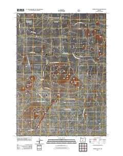 2011 Spring Butte2011 Print · USGSDeschutes County's volcanic high desert is meticulously documented in the early twenty-first century, showing a landscape defined by forest management and geology. Trace the dense network of service roads leading to Spring Butte Well and named cinder cones like Ipsoot Butte and Green Butte.
 - 2011 Map of Yamsay Mountain, 2011 Print
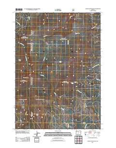 2011 Yamsay Mountain2011 Print · USGSThe high volcanic terrain of the Cascades remains largely wild in the early twenty-first century. Researchers can trace forest service access routes to remote landmarks like Blue Buck Camp, Antler Springs, and the summit of Yamsay Mountain.
 - 2011 Map of Partin Butte, 2011 Print
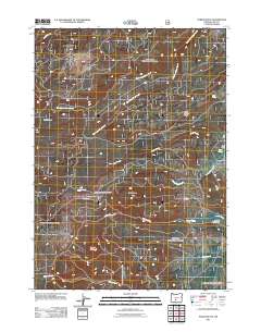 2011 Partin Butte2011 Print · USGSOregon’s high-desert backcountry in Lake County is mapped here during the early twenty-first century, showing a landscape defined by timber roads and volcanic buttes. Researchers can locate remote landmarks like Elder Cabin and Antler Trailhead alongside named water sources like Partin Spring.
 - 2011 Map of Shake Butte, 2011 Print
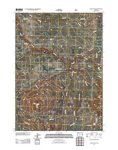 2011 Shake Butte2011 Print · USGSKlamath County's high forest lands are captured here in the early twenty-first century, showing a landscape of lookouts and river crossings. Researchers can locate the Currier Guard Station, trace the path of the Sycan River, and find Emigrant Crossing.
 - 2011 Map of Foster Butte, 2011 Print
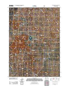 2011 Foster Butte2011 Print · USGSLake County at the start of the second decade of the 2000s shows a vast ranching landscape shaped by its seasonal water sources. Researchers can trace land use through specialized sites like McCall Dipping Vat Spring, Foster Lake, and the named flats of New England Flat.
 - 2011 Map of Coleman Point, 2011 Print
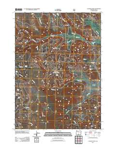 2011 Coleman Point2011 Print · USGSHigh-desert ranching and water rights define this Lake County landscape during the early 21st century. Trace historical land use and family holdings through remote locations like Anderson Ranch, Shepard Camp, and the waters of Morgan Spring.
 - 2011 Map of Drake Peak, 2011 Print
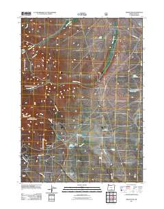 2011 Drake Peak2011 Print · USGSLake County ranch lands and high-country watersheds are captured here in the early twenty-first century. Researchers can locate remote outposts like Deboy Ranch and Vinyard Cabin, or trace water sources from Obernolte Spring to Flynn Reservoir.
 - 2011 Map of Crane Creek, 2011 Print
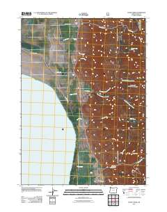 2011 Crane Creek2011 Print · USGSLake County ranching life and the arid shores of Goose Lake are captured here in the early twenty-first century. Researchers can locate family landmarks like Deter Ranch and Fisher Ranch or trace the burials at New Pine Creek Cemetery.
 - 2011 Map of Little Honey Creek, 2011 Print
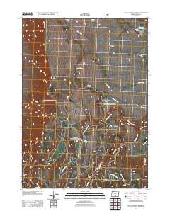 2011 Little Honey Creek2011 Print · USGSLake County high country is revealed in this early twenty-first-century survey of the arid Honey Creek drainages. Genealogists and historians can trace family-named landmarks and remote outposts such as Chandler Cabin, Fitzgerald Reservoir, and the curiously named Washing Machine Flat.
 - 2011 Map of Horse Prairie, 2011 Print
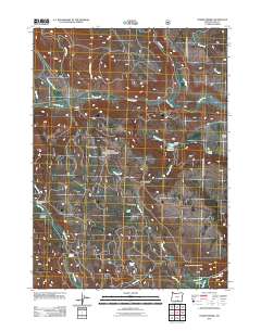 2011 Horse Prairie2011 Print · USGSLake County ranching and backcountry trails are captured here during the early twenty-first century. Researchers can trace land use through family landmarks like Hickey Ranch, explore the hydrology of Horse Creek, or locate the Rogger Meadow Trailhead.
 - 2011 Map of Fremont Point, 2011 Print
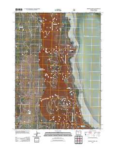 2011 Fremont Point2011 Print · USGSLake County's high-desert rim and basin are captured here in the early twenty-first century. Researchers can trace water management and landmarks from the heights of Fremont Point down to Foster Reservoir and the shores of Summer Lake.
 - 2011 Map of Barnes Valley, 2011 Print
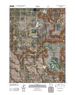 2011 Barnes Valley2011 Print · USGSRanching and water management define this Klamath County landscape as it appeared in the early 2010s. Genealogists and local historians can trace family-held lands like Hunt Ranch and Devaul Ranch or locate infrastructure like the Lloyd Gift Dam.
 - 2011 Map of Campbell Reservoir, 2011 Print
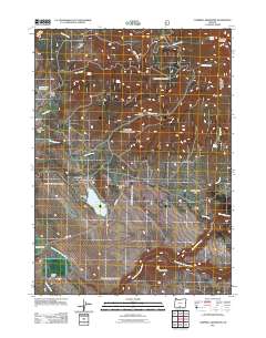 2011 Campbell Reservoir2011 Print · USGSKlamath County ranching and forest lands are captured here just after the turn of the millennium, showing a landscape defined by high-country flats and mountain springs. Researchers can locate the Seven C Ranch, trace the South Fork Sprague River, and find remote landmarks like Swede Cabin.
 - 2011 Map of Summer Lake, 2011 Print
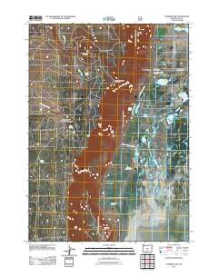 2011 Summer Lake2011 Print · USGSSummer Lake and its high-desert basin are captured in this 2011 survey, showing a landscape shaped by water management and ranching. Researchers can locate the Summer Lake Post Office, trace family roots at Summer Lake Cemetery, or explore landmarks like S D Harris Ranch and Ana Reservoir.
 - 2011 Map of Drews Gap, 2011 Print
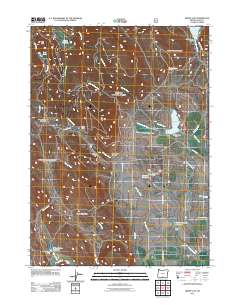 2011 Drews Gap2011 Print · USGSLake County ranchlands and high-desert passes are captured here in the early twenty-first century, revealing a landscape defined by water engineering. Researchers can trace historic landholdings like Lamb Ranch alongside vital irrigation works such as the North Canal Flume and Andy Hill Reservoir.
Showing maps 1-25 of 555
Top cities of Lake County
Frequently asked questions
- What are the different types of historical maps available for Lake County?
- What is the oldest map of Lake County?
- Where can I purchase historical maps of Lake County for my home or office?
- Where can I download high-res historical maps of Lake County?
- Are there historical topographic maps available for Lake County?
- Is there historical aerial imagery available for Lake County?
- Where are historical maps of Lake County sourced from?