2020s Maps of Union County, Oregon
Explore 123 historic maps of Union County from the 2020s. These maps offer a rare glimpse into what life looked like during the 2020s — showing old roads, neighborhoods, homes, and landmarks that have changed or disappeared over time.
Whether you're researching your family's past, planning a metal detecting trip, or studying how Union County's landscape evolved across the 2020s, these high-resolution maps are a powerful tool for exploring the history of this region.
- Focus on a specific era: All maps on this page are from the 2020s, giving you a focused view of this time period.
- See what’s changed: Compare century-old streets, trails, and buildings to today's modern landscape using overlays and satellite layers.
- Research with precision: Use these maps for genealogy, historical research, land use analysis, or educational projects.
- View, download, or print: Maps are fully viewable online in high resolution, and can be downloaded or printed for your own records.
Start exploring Union County's history through authentic maps from the 2020s. This is your window into the past.
Union County, OR maps
(123)- 2020 Map of Rock Creek, 2020 Print
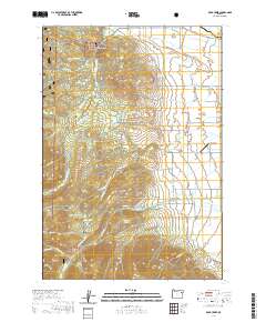 2020 Rock Creek2020 Print · USGSEastern Oregon ranching and timberlands are captured here in the contemporary era, where the Elkhorn Mountains meet the valley. Researchers can trace historic water rights and family lands through features like Fisher Hot Springs, Rock Creek, and the Gardner Mill Race Ditch.
 - 2020 Map of Sawtooth Ridge, 2020 Print
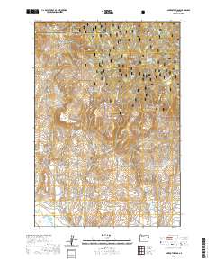 2020 Sawtooth Ridge2020 Print · USGSThe borderlands of Union and Baker counties come alive in this contemporary survey of the high forest and river valleys. Researchers can trace the path of the Powder River and explore local landmarks like Sawtooth Crater and Copper Buttes.
 - 2020 Map of Crawfish Lake, 2020 Print
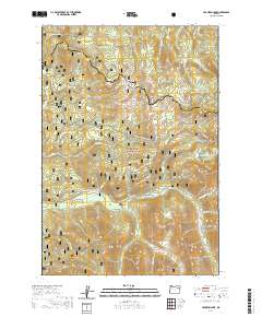 2020 Crawfish Lake2020 Print · USGSHigh in the Elkhorn Mountains of northeastern Oregon, this modern survey details the rugged alpine landscape where Union and Grant counties meet. Local history enthusiasts can locate Cabell City and trace specialized trails like the Chicken Hill Snowmobile route.
 - 2020 Map of Haines, 2020 Print
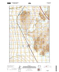 2020 Haines2020 Print · USGSThe rural agricultural landscapes between the Baker and North Powder Valleys are meticulously detailed in this recent survey. Genealogists and local historians can trace irrigation networks like the Kelsey Wilson Ditch and locate the Haines Cem or Rock Creek Cem near the Powder River.
 - 2020 Map of Keating NW, 2020 Print
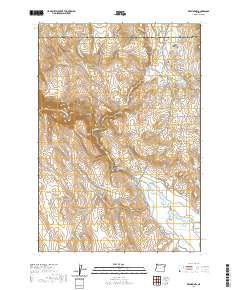 2020 Keating NW2020 Print · USGSThe high desert valley and water-management systems along the Union and Baker County line are captured here in the early twenty-first century. Researchers can trace rural cemetery sites like Big Creek Cem or the intricate network of Erwin Ditch and Emele Ditch.
 - 2020 Map of Union, 2020 Print
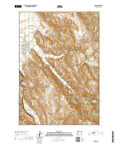 2020 Union2020 Print · USGSThe Oregon town of Union sits at the foot of the mountains in the early twenty-first century, where the Grande Ronde Valley meets steep canyons. Researchers can trace the town's grid and find local landmarks like Union Cem, Wigglesworth Spring, and Clark Mtn.
 - 2020 Map of Rondowa, 2020 Print
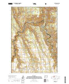 2020 Rondowa2020 Print · USGSThe confluence of the Grande Ronde and Wallowa rivers dominates this northeastern Oregon landscape at the start of the 2020s. Researchers can trace the layout of the settlement at Rondowa or locate local landmarks like Mount Pleasant Cem and the Lookingglass Fish Hatchery.
 - 2020 Map of Cove, 2020 Print
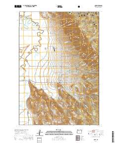 2020 Cove2020 Print · USGSCove sits at the edge of the Grande Ronde Valley in the late twenty-teens, where valley farms meet the timbered slopes of the national forest. Genealogists and researchers can locate Cove Cem, the historic Cove Hot Springs, and the specialized Cove Side Ranch Port Airport.
 - 2020 Map of Summerville, 2020 Print
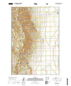 2020 Summerville2020 Print · USGSThe northern reaches of the Grande Ronde Valley are captured here in 2020, where the community of Summerville meets the Blue Mountains. Genealogists and local historians can trace legacy land routes like Happy Walrus Rd or locate highland landmarks including Mt Emily and Fiddlers Hell.
 - 2020 Map of Flagstaff Butte, 2020 Print
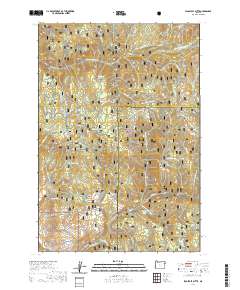 2020 Flagstaff Butte2020 Print · USGSThe high backcountry along the Union and Baker county line is charted here during the early twenty-first century. Outdoor enthusiasts and local historians can trace seasonal paths like the Glendenning Snowmobile route and locate remote landmarks such as Angel Point and Happy Canyon.
 - 2020 Map of Conley, 2020 Print
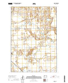 2020 Conley2020 Print · USGSUnion County agriculture and infrastructure come into focus in the early twenty-first century as the valley floor is managed through a complex web of ditches and sloughs. Researchers can trace the layout of Conley and the operations at La Grande/Union County Airport alongside local family-named routes like Ruckman Rd and Peach Rd.
 - 2020 Map of Drumhill Ridge, 2020 Print
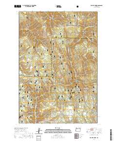 2020 Drumhill Ridge2020 Print · USGSThe high Blue Mountains of the Umatilla and Union county border are captured here in the early twenty-first century. Researchers can trace historic forest access via the Whitman Route and locate family-named landmarks such as Standfield Meadow and Smith Ridge.
 - 2020 Map of Jim White Ridge, 2020 Print
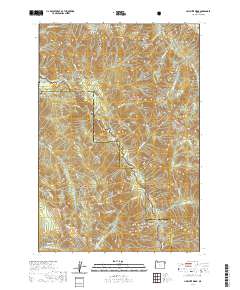 2020 Jim White Ridge2020 Print · USGSThe Eagle Cap wilderness comes into focus in this recent survey of the Union County interior. Trace remote backcountry landmarks like Jim White Ridge, the Red's Wallowa Horse Ranch Airport, and the Minam Falls.
 - 2020 Map of Imbler, 2020 Print
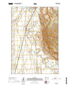 2020 Imbler2020 Print · USGSThe northern Grande Ronde Valley comes to life in this survey of agricultural Oregon near Imbler. Researchers can trace old property lines and rural landmarks like the Summerville - Imbler Cem, Mt Harris, and the complex waters of the Grande Ronde River.
 - 2020 Map of Cricket Flat, 2020 Print
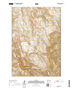 2020 Cricket Flat2020 Print · USGSUnion County's high plateaus and canyons are documented here in the early twenty-first century as agricultural and timber lands. Researchers can locate remote burial sites at Highland Cem and Pine Grove Cem or trace water rights at Waller Reservoir 6.
 - 2020 Map of Tollgate, 2020 Print
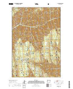 2020 Tollgate2020 Print · USGSTollgate and the high-country landscape of the Blue Mountains are depicted here as a recreational hub within the Umatilla National Forest. Outdoor enthusiasts can trace seasonal paths like the Road Run Loop and locate landmarks like Langdon Lake or Blalock Mtn.
 - 2020 Map of Silver Butte, 2020 Print
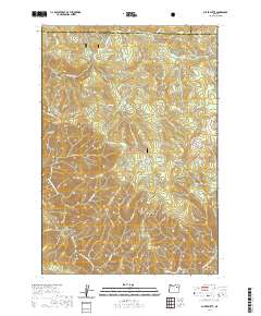 2020 Silver Butte2020 Print · USGSUmatilla and Grant counties meet in this high-country survey of the Blue Mountains during the early twenty-first century. Researchers can locate remote sites like Miner's Cabin and Dixon Bar or trace the drainage of the North Fork John Day River through Fitzwater Gulch.
 - 2020 Map of Trout Meadows, 2020 Print
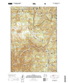 2020 Trout Meadows2020 Print · USGSThe high timberlands of the Blue Mountains meet at the Union and Grant county line in this contemporary survey of eastern Oregon. Researchers can trace the course of the North Fork John Day River and locate backcountry landmarks like Trout Meadows and Cabell Meadow.
 - 2020 Map of Anthony Lakes, 2020 Print
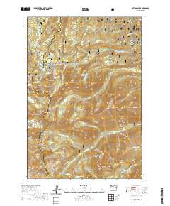 2020 Anthony Lakes2020 Print · USGSThe high Elkhorn Mountains are shown here in the early twenty-first century at the intersection of Union, Baker, and Grant counties. Researchers can trace the protected waters of the North Powder Wild and Scenic River and find remote landmarks like The Lakes Lookout or Nip and Tuck Pass.
 - 2020 Map of Magpie Peak, 2020 Print
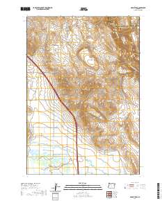 2020 Magpie Peak2020 Print · USGSThe borderlands of Union and Baker counties are shown here as a landscape of high ridges and managed valley floors during the early 21st century. Researchers can trace irrigation networks like Lillard Ditch and find landmarks such as Magpie Peak and Foley Spring.
 - 2020 Map of Howard Butte, 2020 Print
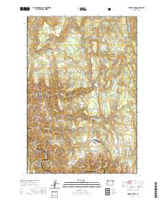 2020 Howard Butte2020 Print · USGSThe high meadows and forest ridges of Union and Wallowa counties are captured here in the contemporary era. Researchers can trace land features from Howard Butte down to the Lazy F Ranch Airport and the protected Wallowa Wild and Scenic River.
 - 2020 Map of Eagle Cap, 2020 Print
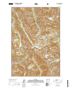 2020 Eagle Cap2020 Print · USGSThe high Wallowa Mountains of Northeast Oregon are shown here in recent detail. Hikers and researchers can trace the high-altitude trails connecting Eagle Cap Summit, the Matterhorn, and alpine basins like Mirror Lake.
 - 2020 Map of Steamboat Lake, 2020 Print
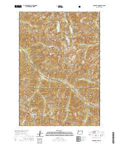 2020 Steamboat Lake2020 Print · USGSThe high peaks of the Wallowa and Union county line appear here in the modern era, dominated by the protected corridors of the Minam Wild and Scenic River. Researchers can trace the alpine drainage patterns of Minam Lake, Diamond Lake, and Swamp Lake across these steep granite ridges.
 - 2020 Map of Minam, 2020 Print
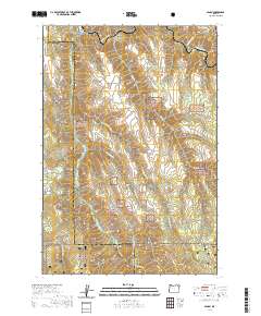 2020 Minam2020 Print · USGSThe confluence of the Wallowa and Minam rivers is captured in this contemporary look at Oregon's canyon country. Researchers can trace the protected waters of the Wallowa Wild and Scenic River or locate remote sites like Division Camp and the Irrigon Fish Hatchery.
 - 2020 Map of Little Catherine Creek, 2020 Print
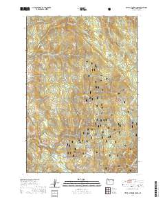 2020 Little Catherine Creek2020 Print · USGSThe high timberlands of Union County are revealed in this recent survey, showcasing the drainage systems of the Whitman National Forest. Researchers can locate historic forest tracks and secluded landmarks like Billy Small Meadow, Crib Point, and Ames Spring.
Showing maps 1-25 of 123
Top cities of Union County
- La Grande historical maps
- Union historical maps
- Elgin historical maps
- Island City historical maps
- Cove historical maps
- North Powder historical maps
See more
Frequently asked questions
- What are the different types of historical maps available for Union County?
- What is the oldest map of Union County?
- Where can I purchase historical maps of Union County for my home or office?
- Where can I download high-res historical maps of Union County?
- Are there historical topographic maps available for Union County?
- Is there historical aerial imagery available for Union County?
- Where are historical maps of Union County sourced from?