2020s Maps of Yamhill County, Oregon
Explore 54 historic maps of Yamhill County from the 2020s. These maps offer a rare glimpse into what life looked like during the 2020s — showing old roads, neighborhoods, homes, and landmarks that have changed or disappeared over time.
Whether you're researching your family's past, planning a metal detecting trip, or studying how Yamhill County's landscape evolved across the 2020s, these high-resolution maps are a powerful tool for exploring the history of this region.
- Focus on a specific era: All maps on this page are from the 2020s, giving you a focused view of this time period.
- See what’s changed: Compare century-old streets, trails, and buildings to today's modern landscape using overlays and satellite layers.
- Research with precision: Use these maps for genealogy, historical research, land use analysis, or educational projects.
- View, download, or print: Maps are fully viewable online in high resolution, and can be downloaded or printed for your own records.
Start exploring Yamhill County's history through authentic maps from the 2020s. This is your window into the past.
Yamhill County, OR maps
(54)- 2020 Map of Saint Paul, 2020 Print
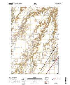 2020 Saint Paul2020 Print · USGSMarion County's historic agricultural heartland comes into focus in this contemporary survey of the French Prairie region. Researchers can trace family sites near St. Paul or locate old burial grounds like Champoeg Cem and Fairfield Cem along the Willamette River.
 - 2020 Map of Dundee, 2020 Print
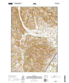 2020 Dundee2020 Print · USGSYamhill County wine country and the northern Willamette Valley are captured here just as the modern agricultural landscape was maturing. Genealogists can locate family landmarks like Noble Cem and Lafayette Pioneer Cem or trace the drainage of Chehalem Cr.
 - 2020 Map of Gobblers Knob, 2020 Print
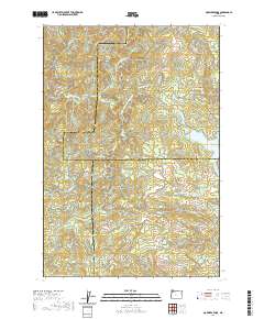 2020 Gobblers Knob2020 Print · USGSThe high timber country of the Northern Oregon Coast Range is documented here in the early twenty-first century as modern forestry roads lace through steep drainages. Researchers can trace the headwaters of the Tualatin River and locate remote landmarks like Ki-a-Kuts Falls or the historic path of the Toll Rd.
 - 2020 Map of Gaston, 2020 Print
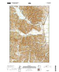 2020 Gaston2020 Print · USGSNorthwest Oregon at the edge of the Coast Range shows a landscape of timber and agriculture transitioning into the Tualatin Valley. Researchers can trace rural settlement patterns through Mount Olive Lutheran Cem, the drained Wapato Lake Bed, and family-named landmarks like Garrish Valley.
 - 2020 Map of Ballston, 2020 Print
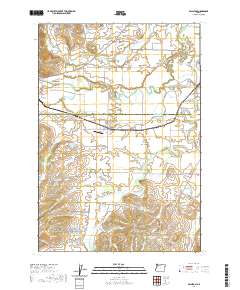 2020 Ballston2020 Print · USGSThe rural borderlands of Yamhill and Polk Counties come into focus in the early twenty-first century, showing a landscape of small agricultural hubs and managed water. Local historians can trace family-named sites like Morgan's Airport, Bellevue - Yocum Cem, and Lillie Walker Irrigation Pond.
 - 2020 Map of Laurelwood, 2020 Print
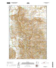 2020 Laurelwood2020 Print · USGSThe Tualatin River valley and Chehalem Mountains meet in this recent survey of Washington and Yamhill counties. Researchers can trace rural lineages through Blooming Cem and Oak Grove Cem or locate old waterworks like Guthrie Reservoir and the Wapato Lake Bed.
 - 2020 Map of Springer Mountain, 2020 Print
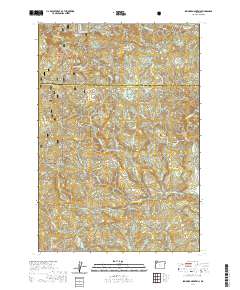 2020 Springer Mountain2020 Print · USGSYamhill and Tillamook counties meet in this high timber country during the early twenty-first century. Researchers can trace the complex drainage basins of the Nestucca River and Willamina Creek while locating landmarks like Nenamusa Falls and Niagara Point.
 - 2020 Map of Niagara Creek, 2020 Print
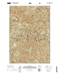 2020 Niagara Creek2020 Print · USGSThe Coast Range interior of Yamhill County is mapped here in the modern era, showing a landscape of timber and steep drainages. Researchers can locate the Pioneer Indian trail and family-named landmarks like Asinine Bridge and Niagara Falls.
 - 2020 Map of Carlton, 2020 Print
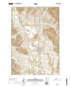 2020 Carlton2020 Print · USGSYamhill County's agricultural heartland is documented here in the recent era, centered on the growing communities of Carlton and Yamhill. Researchers can trace irrigation history through numerous reservoirs or locate family names at the McBride Cem and Yamhill - Carlton Cem.
 - 2020 Map of Sheridan, 2020 Print
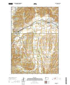 2020 Sheridan2020 Print · USGSSheridan and the surrounding Yamhill County farmland are documented here in the early twenty-first century as the region maintains its timber and agricultural roots. Researchers can trace family history through the Masonic Cem, locate the Wallace Bridge, or identify industrial landmarks like the Pacific Plywood Log Pond.
 - 2020 Map of Turner Creek, 2020 Print
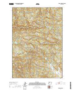 2020 Turner Creek2020 Print · USGSThe Coast Range foothills of Washington and Yamhill Counties are captured here in the modern era. Researchers can trace the timber and water infrastructure of the region, from the logging roads near Cherry Grove to prominent landmarks like Hillsboro Reservoir and Hayes Falls.
 - 2020 Map of Amity, 2020 Print
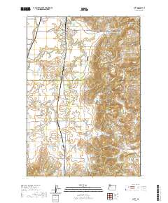 2020 Amity2020 Print · USGSThe northern Willamette Valley comes into focus in this contemporary survey of the rolling farm country between Amity and Zena. Genealogists and local historians can locate early burial grounds like Amity Cem and Bethel Cem or trace the drainage of the Ash Swale.
 - 2020 Map of Sherwood, 2020 Print
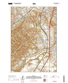 2020 Sherwood2020 Print · USGSThe northern Willamette Valley and Tualatin Valley intersect here in a landscape of historic river settlements and rising hills. Genealogists and historians can trace family locations through sites like Butteville Cem, Middleton, and the Willamette River shoreline.
 - 2020 Map of Scholls, 2020 Print
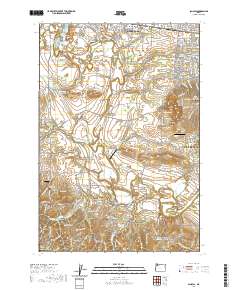 2020 Scholls2020 Print · USGSHillsboro and the Tualatin River valley are shown here in the 2020s, a landscape defined by riverside settlements and small airparks. Researchers can locate family sites at Saint Matthews Cem or trace rural crossings like Rood Bridge and Scholls Bridge.
 - 2020 Map of Newberg, 2020 Print
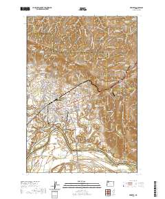 2020 Newberg2020 Print · USGSThe Willamette Valley landscape near Newberg comes to life in this contemporary study of Yamhill County. Researchers can trace historic burial grounds like Fernwood Pioneer Cem and G.A.R. Cem or explore the river geography around Ash Island.
 - 2020 Map of Fairdale, 2020 Print
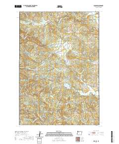 2020 Fairdale2020 Print · USGSYamhill County's forested foothills are captured in this modern survey of the Coast Range periphery. Genealogists and historians can locate remote burial sites at Moores Valley Cemetery and Pike Cemetery or trace old routes like NW Old Wagon Road.
 - 2020 Map of Midway, 2020 Print
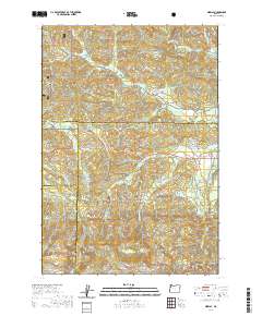 2020 Midway2020 Print · USGSThe headwaters of the Yamhill and Salmon Rivers meet at the intersection of four counties in this 2020 survey of the Oregon Coast Range. Genealogists and local historians can trace the remote settlements of Boyer and Midway or locate landmarks like Saddle Bag Mtn and Hidout Reservoir.
 - 2020 Map of Grand Ronde, 2020 Print
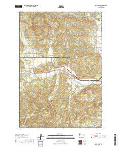 2020 Grand Ronde2020 Print · USGSThe Grand Ronde community and its ancestral agency lands are documented here in the early twenty-first century. Genealogists and local historians can locate family landmarks like Holmes Cem, Hussey Cem, and the old crossroads at Valley Junction.
 - 2020 Map of Muddy Valley, 2020 Print
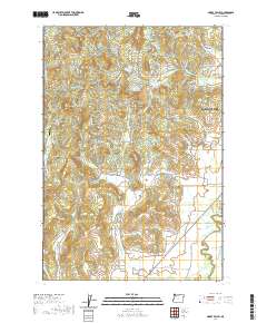 2020 Muddy Valley2020 Print · USGSYamhill County's western valleys are documented here in the early twenty-first century, showing the rural outskirts of the regional hub. Researchers can trace land ownership and community history through landmarks like South Yamhill Cem, Yamhill Orchards, and Gopher Valley.
 - 2020 Map of Dolph, 2020 Print
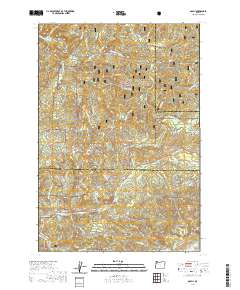 2020 Dolph2020 Print · USGSCoastal timberlands and river headwaters come into focus in this contemporary survey of the Yamhill and Tillamook county line. Researchers can trace the path of the Little Nestucca River, find the small settlement of Dolph, and locate landmarks like Gunaldo Falls and Saddle Bag Mtn.
 - 2020 Map of Dayton, 2020 Print
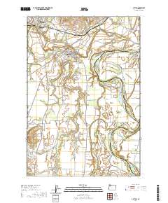 2020 Dayton2020 Print · USGSNear the confluence of the Yamhill and Willamette rivers, this recent survey shows the deeply rooted agricultural and river communities of Yamhill County. Researchers can locate family sites and local landmarks like the Independent Order of Odd Fellows Cem, Unionvale, and Lambert Bend.
 - 2020 Map of Hebo, 2020 Print
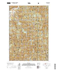 2020 Hebo2020 Print · USGSThe Oregon Coast Range near the Tillamook and Yamhill county line is captured here as it appeared in recent years. Researchers can find family history at Nestucca Valley Community Cem or trace the Pioneer Indian trail near the summit of Mt Hebo.
 - 2020 Map of Mission Bottom, 2020 Print
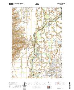 2020 Mission Bottom2020 Print · USGSThe Willamette River winds through the heart of the valley near Keizer and Salem during the 2020s, revealing a landscape of shifting bars and fertile prairies. Genealogists and local historians can trace family ties at Hopewell Cem. or locate historic river crossings near Wheatland and Windsor Island.
 - 2020 Map of McMinnville, 2020 Print
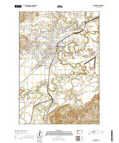 2020 McMinnville2020 Print · USGSMcMinnville and its surrounding valley reaches are captured here at the start of the 2020s, showing the intersection of academic, civic, and agricultural life. Genealogists and local historians can trace family locations near Whiteson, Saint Joseph, and landmarks like Masonic Cem or the Yamhill County Courthouse.
 - 2020 Map of Trask Mountain, 2020 Print
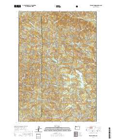 2020 Trask Mountain2020 Print · USGSYamhill and Tillamook counties meet in this high-altitude timberland during the early twenty-first century. Researchers can trace the logging road networks around Trask Mtn and locate remote features like Elk Flat or Such-Joja Reservoir.
Showing maps 1-25 of 54
Top cities of Yamhill County
- McMinnville historical maps
- Newberg historical maps
- Sheridan historical maps
- Lafayette historical maps
- Dundee historical maps
- Dayton historical maps
See more
Frequently asked questions
- What are the different types of historical maps available for Yamhill County?
- What is the oldest map of Yamhill County?
- Where can I purchase historical maps of Yamhill County for my home or office?
- Where can I download high-res historical maps of Yamhill County?
- Are there historical topographic maps available for Yamhill County?
- Is there historical aerial imagery available for Yamhill County?
- Where are historical maps of Yamhill County sourced from?