1960s Maps of Pennsylvania
Explore 519 historic maps of Pennsylvania from the 1960s. These maps offer a rare glimpse into what life looked like during the 1960s — showing old roads, neighborhoods, homes, and landmarks that have changed or disappeared over time.
Whether you're researching your family's past, planning a metal detecting trip, or studying how Pennsylvania's landscape evolved across the 1960s, these high-resolution maps are a powerful tool for exploring the history of this region.
- Focus on a specific era: All maps on this page are from the 1960s, giving you a focused view of this time period.
- See what’s changed: Compare century-old streets, trails, and buildings to today's modern landscape using overlays and satellite layers.
- Research with precision: Use these maps for genealogy, historical research, land use analysis, or educational projects.
- View, download, or print: Maps are fully viewable online in high resolution, and can be downloaded or printed for your own records.
Start exploring Pennsylvania's history through authentic maps from the 1960s. This is your window into the past.
Pennsylvania maps
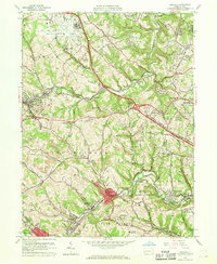
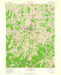
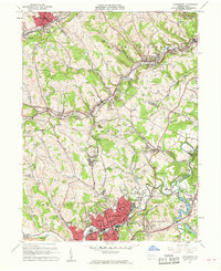
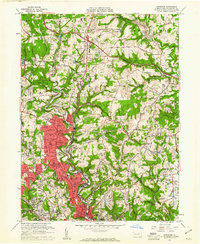
(519)- 1960 Map of Buffalo
 1960 Buffalo1960 Print · USGSWestern New York and the Niagara Peninsula thrive during the mid-twentieth century industrial peak. Genealogists and historians can trace family-named points and early settlements from Dunkirk Light to the Allegany Indian Reservation.
 - 1960 Map of Oakdale
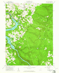
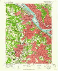
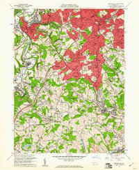
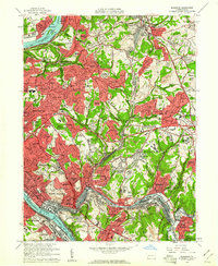
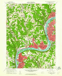
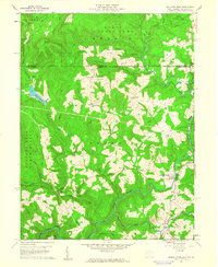
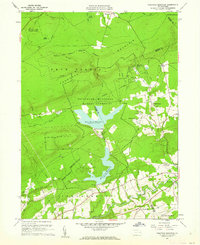
 1960 Oakdale1960 Print · USGSAllegheny County during the expansion of the mid-century reveals a landscape caught between the industrial past and the modern jet age. Genealogists and local historians can trace the footprint of coal at Cliff Mine, institutional history at Woodville State Hospital, and early aviation at the Greater Pittsburgh Airport.7 unique versions available
 - 1960 Map of Williamsport
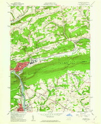
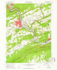
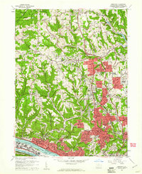
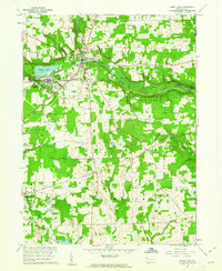
 1960 Williamsport1960 Print · USGSNorth-central Pennsylvania in the mid-twentieth century was a vital corridor of rail and river industry stretching from the New York line to the coal regions. Genealogists can trace the rail networks of the Pennsylvania RR and Lehigh Valley RR connecting towns like Williamsport, Towanda, and Lock Haven.
 - 1960 Map of Newark
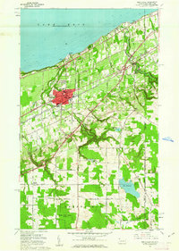
 1960 Newark1960 Print · USGSThe industrial heart of the Mid-Atlantic is shown at mid-century, stretching from the dense urban centers of Newark and Philadelphia to the Blue Mountain ridges. Researchers can trace historic rail lines, coastal defenses at Fort Hancock, and the riverfront growth of Trenton and Easton.3 unique versions available
 - 1960 Map of Lake Lynn, 1961 Print
 1960 Lake Lynn1961 Print · USGSThe northern West Virginia borderlands appear in the early sixties as a landscape of river-driven industry and growing state forests. Trace early family landmarks like Sugar Grove Sch, the historic Clay Furnace, and the winding route of the Baltimore and Ohio railroad.9 unique versions available
 - 1960 Map of Mc Keesport, 1961 Print
 1960 Mc Keesport1961 Print · USGSThe industrial heart of the Monongahela and Youghiogheny valleys is shown here at its mid-century peak. Local historians can trace the intricate rail lines of the Union RR and locate ancestral sites like the North Buena Vista Historic Site or St Josephs Convent.4 unique versions available
 - 1960 Map of Jackson Center, 1961 Print
 1960 Jackson Center1961 Print · USGSMercer County's rural and industrial landscape is captured here during the 1960s, showing a network of rail lines and early strip mining operations. Trace family history at Centenary Cem, explore the rail junctions near Stoneboro, or locate old landmarks like Oak Grove Ch.3 unique versions available
 - 1960 Map of Pittsburgh West, 1961 Print
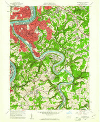
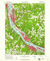
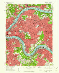
 1960 Pittsburgh West1961 Print · USGSThe industrial heart of Allegheny County is shown here in the early 1960s, documenting the dense riverfront and hilly residential boroughs. Researchers can trace the massive Western State Penitentiary, find family roots in Uniondale Cemetery, or locate the old Woodville State Hospital.4 unique versions available
 - 1960 Map of Palmerton, 1961 Print
 1960 Palmerton1961 Print · USGSPalmerton and the Lehigh Gap are captured at a mid-century industrial peak, framed by ridges and the busy river corridor. Genealogists and historians can trace family-named landmarks like Bassards Corner, the St Nicholas Ch, and the historic path of the Lehigh Canal.6 unique versions available
 - 1960 Map of Lehighton, 1961 Print
 1960 Lehighton1961 Print · USGSCarbon County industrial and mountain landscapes are captured here during the early sixties, centered on the river-and-rail corridor. Genealogists and hikers can trace the Appalachian Trail along the ridge or locate family plots at Packerton Cem and Dinkey Memorial Cem.6 unique versions available
 - 1960 Map of Bridgeville, 1961 Print
 1960 Bridgeville1961 Print · USGSAllegheny and Washington counties are captured at a peak of suburban growth in the early sixties. Genealogists and local historians can trace the foundations of Castle Shannon and Bridgeville, or locate family sites near St Casimir Cem and Mayview State Hospital.6 unique versions available
 - 1960 Map of Cameron, 1961 Print
 1960 Cameron1961 Print · USGSThe Marshall County highlands are captured here in the early sixties, showing the vital link between the Baltimore and Ohio railroad and the town of Cameron. Researchers can trace old family names and rural sites like Mount Carmel Church, the Highland Cemetery, and the Gas Field near Kausooth.4 unique versions available
 - 1960 Map of Braddock, 1961 Print
 1960 Braddock1961 Print · USGSEastern Allegheny County's industrial and suburban heartland is captured here during the mid-century growth of the 1960s. Trace the intricate rail yards at North Bessemer Yards or locate local landmarks like Woodlawn Cemetery and the Wilkinsburg-Pittsburgh Airport.5 unique versions available
 - 1960 Map of Emsworth, 1961 Print
 1960 Emsworth1961 Print · USGSThe northern hills of Allegheny County come alive in the early sixties as suburban neighborhoods like Ingomar and West View expand rapidly around the Ohio River. Genealogists and local historians can trace the grounds of the Dixmont State Hospital, local social hubs like the Mt Nebo Grange Hall, and the numerous country churches that dotted the landscape before modern development.5 unique versions available
 - 1960 Map of Ambridge, 1961 Print
 1960 Ambridge1961 Print · USGSThe Ohio River industrial corridor in the early sixties is captured here, from the steel centers of Ambridge to the residential enclaves of Sewickley. Genealogists and historians can trace riverside landmarks like the Old Economy Historical Site, the Dashields Dam, and the early footprint of the Greater Pittsburgh Airport.6 unique versions available
 - 1960 Map of Canonsburg, 1961 Print
 1960 Canonsburg1961 Print · USGSWashington County at the start of the sixties reveals a landscape of deep coal heritage and industrial rail hubs. Genealogists and historians can trace the foundations of Canonsburg and Houston or locate rural landmarks like St Marys Cem and Ship Mine.5 unique versions available
 - 1960 Map of New Kensington West, 1961 Print
 1960 New Kensington West1961 Print · USGSThe industrial Allegheny River corridor hums with activity in the 1960s, anchoring a chain of river towns and rail hubs. Researchers can trace the mid-century development of Oakmont, Cheswick, and New Kensington alongside landmarks like Lock and Dam No 3 and Remich Airport.4 unique versions available
 - 1960 Map of Glassport, 1961 Print
 1960 Glassport1961 Print · USGSThe industrial Monongahela Valley comes alive in this 1960s survey, showing the peak of the rail-and-river economy from Mc Keesport to Elizabeth. Genealogists and historians can trace family sites at Cochrans Mill, Snowden, and the Jefferson Mem Cem.4 unique versions available
 - 1960 Map of Pittsburgh East, 1961 Print
 1960 Pittsburgh East1961 Print · USGSPostwar Pittsburgh and its eastern boroughs are captured here at their industrial height, bounded by the great river bends. Genealogists and local historians can trace legacy parish boundaries through St Marys Cem, Peabody High Sch, and St Aloysius Ch.4 unique versions available
 - 1960 Map of Pierpont, 1961 Print
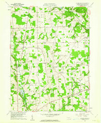
 1960 Pierpont1961 Print · USGSAshtabula County at the dawn of the sixties remained a landscape of quiet dairy farms and emerging oil and gas fields along the Pennsylvania border. Genealogists and local historians can trace family locations near Pierpont, Monroe Center, and the historic Monroe Cem.4 unique versions available
 - 1960 Map of Glenshaw, 1961 Print
 1960 Glenshaw1961 Print · USGSAllegheny County at the start of the sixties shows a dense network of suburban expansion and industrial transport north of Pittsburgh. Genealogists can trace family names and sites across numerous burial grounds like Mt Royal Cemetery and Beth Shalom Cemetery or locate landmarks like the Radio Sta (KDKA) and Shady Side Academy.6 unique versions available
 - 1960 Map of Bruceton Mills, 1961 Print
 1960 Bruceton Mills1961 Print · USGSThe West Virginia and Pennsylvania border region in the early sixties shows a landscape of timbered ridges and river valleys. Genealogists can locate family landmarks like Mountain Grove Sch, St Peters Cem, and the site of the Old Valley Furnace.5 unique versions available
 - 1960 Map of Sandy Lake, 1962 Print
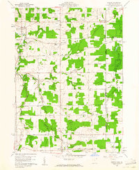
 1960 Sandy Lake1962 Print · USGSMercer County at the start of the sixties reveals a landscape transitioning between its industrial roots and modern conservation. Trace family roots and vanished landmarks through Yankee Hill Cem, the New York Central Railroad line, and the numerous oil wells near Hendersonville.3 unique versions available
 - 1960 Map of North East, 1962 Print
 1960 North East1962 Print · USGSThe Lake Erie shoreline in the early 1960s highlights the vital rail and road corridors connecting Pennsylvania to New York. Researchers can trace the layout of North East, identify the campus of St Marys College, and locate rural family hubs like Delhill Corners.4 unique versions available
 - 1960 Map of Pohopco Mountain, 1962 Print
 1960 Pohopco Mountain1962 Print · USGSThe Pocono foothills come alive in the early 1960s as the Bethlehem Municipal Water Authority shapes the landscape. Genealogists and hikers can trace the rural roads connecting Meckesville, the Dotters Corners Cem, and the edges of Hickory Run State Park.5 unique versions available
Showing maps 1-25 of 519
Top cities of Pennsylvania
- Philadelphia historical maps
- Pittsburgh historical maps
- Allentown historical maps
- Erie historical maps
- Reading historical maps
- Upper Darby historical maps
See more
Top counties of Pennsylvania
- Philadelphia County historical maps
- Allegheny County historical maps
- Montgomery County historical maps
- Bucks County historical maps
- Delaware County historical maps
- Chester County historical maps
See more
Frequently asked questions
- What are the different types of historical maps available for Pennsylvania?
- What is the oldest map of Pennsylvania?
- Where can I purchase historical maps of Pennsylvania for my home or office?
- Where can I download high-res historical maps of Pennsylvania?
- Are there historical topographic maps available for Pennsylvania?
- Is there historical aerial imagery available for Pennsylvania?
- Where are historical maps of Pennsylvania sourced from?