1990s Maps of Pennsylvania
Explore 457 historic maps of Pennsylvania from the 1990s. These maps offer a rare glimpse into what life looked like during the 1990s — showing old roads, neighborhoods, homes, and landmarks that have changed or disappeared over time.
Whether you're researching your family's past, planning a metal detecting trip, or studying how Pennsylvania's landscape evolved across the 1990s, these high-resolution maps are a powerful tool for exploring the history of this region.
- Focus on a specific era: All maps on this page are from the 1990s, giving you a focused view of this time period.
- See what’s changed: Compare century-old streets, trails, and buildings to today's modern landscape using overlays and satellite layers.
- Research with precision: Use these maps for genealogy, historical research, land use analysis, or educational projects.
- View, download, or print: Maps are fully viewable online in high resolution, and can be downloaded or printed for your own records.
Start exploring Pennsylvania's history through authentic maps from the 1990s. This is your window into the past.
Pennsylvania maps
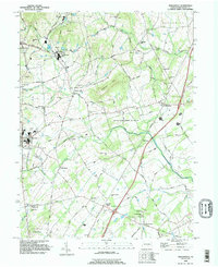
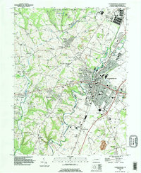
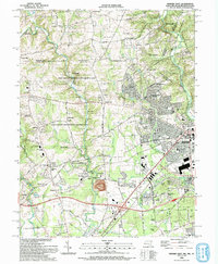
(457)- 1990 Map of Mc Sherrystown, 1995 Print
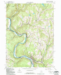
 1990 Mc Sherrystown1995 Print · USGSThe Adams County countryside surrounding McSherrystown and New Oxford in the early nineties reveals a blend of farming, quarrying, and historic crossroads. Genealogists can locate family landmarks like Hostetters Meeting House, Low Dutch Cem, and the St Joseph Academy.
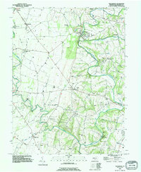
 - 1990 Map of Hampton, 1995 Print
 1990 Hampton1995 Print · USGSAdams County’s rural landscape is captured here in the early nineties, showcasing the area's transition between agricultural tradition and modern development. Genealogists can locate family sites near New Chester, St Johns Ch, and the many cemeteries dotting the banks of Conewago Creek.
 - 1990 Map of Caledonia Park, 1995 Print
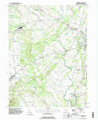
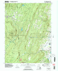
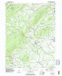
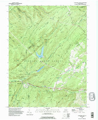 1990 Caledonia Park1995 Print · USGSSouth Mountain and the thick timberlands of Adams and Franklin counties are shown here in the early nineties. Genealogists and hikers can trace the Appalachian Trail past Caledonia State Park and the historic St Ignatius-Loyola Ch.
 - 1990 Map of Mc Connellsburg, 1995 Print
 1990 Mc Connellsburg1995 Print · USGSFranklin and Fulton Counties in the 1990s showcase a landscape of protected state forests and historic ridge-and-valley settlements. Researchers can trace the path of the Old Railroad Grade or locate local landmarks like Richmond Furnace and the Mountain View Sch.
 - 1990 Map of Waynesboro, 1995 Print
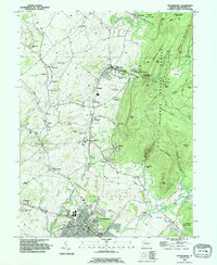 1990 Waynesboro1995 Print · USGSIn the 1990s, the area around Waynesboro maintained its balance of valley agriculture and forested mountain slopes. Genealogists can trace family names at Nunnery Cem, Quinsonia, and the Penn State University Mont Alto Campus.
 - 1990 Map of Biglerville, 1995 Print
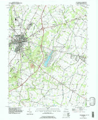
 1990 Biglerville1995 Print · USGSThe orchard country of Adams County is captured here in the early nineties, showing a landscape of established villages and rising hills. Genealogists and historians can trace family locations near Rock Chapel, find the Bendersville Sta rail point, or locate old sites like Limerick Mill.
 - 1990 Map of Fairfield, 1995 Print
 1990 Fairfield1995 Print · USGSAdams County’s storied landscape is captured here in the 1990s, showcasing the intersection of Civil War preservation and rural Pennsylvania life. Researchers can trace family history through local landmarks like Black Horse Tavern, the Lower Marsh Creek Ch, and Flohrs Cem.
 - 1990 Map of Mercersburg, 1995 Print
 1990 Mercersburg1995 Print · USGSThe Mercersburg valley in the early nineties is a landscape of mountain ridges and historic education hubs. Researchers can trace the legacy of local families through landmarks like Spring Grove Cem, the Old Railroad Grade, and Mercersburg Academy.
 - 1990 Map of St Thomas, 1995 Print
 1990 St Thomas1995 Print · USGSFranklin County's transition from steep mountain ridges to settled valley farms is captured here during the 1990s. Researchers can locate family landmarks such as Brandts Cem and Criders Ch, or trace the legacy of industry at Franklin Furnace.
 - 1990 Map of Greencastle, 1995 Print
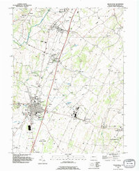 1990 Greencastle1995 Print · USGSGreencastle and the surrounding Cumberland Valley townships appear in the 1990s as a blend of growing residential hubs and deep-rooted rural industry. Researchers can trace historic family locations at Browns Mill Cem, locate the Cumberland Valley Airstrip, and explore the legacy of Browns Mill.
 - 1990 Map of Chambersburg, 1995 Print
 1990 Chambersburg1995 Print · USGSChambersburg and the surrounding Franklin County townships are captured in the early nineties as suburban expansion meets traditional valley life. Genealogists and local researchers can locate numerous burial grounds such as Old Crider Cem and Lincoln Cem, or trace landmarks like Wilson College and the Siloam Dam.
 - 1990 Map of Williamson, 1995 Print
 1990 Williamson1995 Print · USGSFranklin County's rolling hills and limestone creeks are captured here in the early nineties, showing a landscape defined by historic settlements and water. Genealogists can trace family connections at Montgomery Ch, the Martins Mill Covered Bridge, and the community at Welsh Run.
 - 1990 Map of Gettysburg, 1995 Print
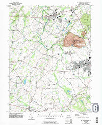
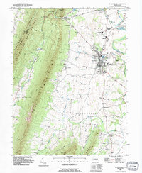
 1990 Gettysburg1995 Print · USGSGettysburg and its surrounding townships appear here in the 1990s, Balancing its legacy as a memorial site with modern growth. Historians can trace landmark sites like Devils Den and Spanglers Spring alongside the Gettysburg Railroad and Hoffman Orphanage.
 - 1990 Map of Iron Springs, 1995 Print
 1990 Iron Springs1995 Print · USGSSouth Mountain and the wooded reaches of Michaux State Forest are captured here in the early nineties. Researchers can trace rural landmarks like Mt Carmel Ch, the South Mountain Restoration Center, and the historic Iron Springs area.2 unique versions available
 - 1990 Map of Arendtsville, 1995 Print
 1990 Arendtsville1995 Print · USGSAdams County orchard country is captured here during the 1990s, centered on the historic crossroads of Arendtsville and Mummasburg. Researchers can trace rural church history at St James Ch or locate family sites near Greenmount Cem and Franklin Sch.
 - 1990 Map of Scotland, 1995 Print
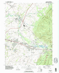 1990 Scotland1995 Print · USGSFranklin County in the early nineties shows a landscape of growing towns and deep forest roots. Genealogists can trace family sites at Mentzers Cem and Park Lawns Cem or locate the historic Scotland School for Veterans Children.
 - 1992 Map of Rising Sun, 1993 Print
 1992 Rising Sun1993 Print · USGSMaryland's northern border country is captured here in the early 1990s, centering on the historic crossroads of Rising Sun. Genealogists and historians can trace the Mason and Dixon Line, the West Nottingham Academy, and local industry at the Wood Chromite Mine.
 - 1992 Map of Bay View, 1993 Print
 1992 Bay View1993 Print · USGSMaryland and Pennsylvania meet in this early 1990s record of northeastern Cecil County, showing a landscape defined by rolling creeks and rural crossroads. Genealogists and historians can locate Rosebank Cem, Elk Mills, and the historic Covered Bridge near Peacedale.
 - 1992 Map of Newark West, 1993 Print
 1992 Newark West1993 Print · USGSThe borderlands of Maryland, Delaware, and Pennsylvania are shown in the early nineties, centered on the equestrian landscapes of Fair Hill. Trace family roots at the Welsh Tract Ch or locate the Fair Hill Training Center and Elk Mills.3 unique versions available
 - 1992 Map of Elmira, 1993 Print
 1992 Elmira1993 Print · USGSThe Finger Lakes and Southern Tier regions are captured in the early nineties as industrial hubs like Elmira and Endicott thrived alongside university life in Ithaca. Genealogists and researchers can trace the CONRAIL rail corridors, family hilltops such as Hornby Hill, and the extensive Newtown Battlefield Reservation.
 - 1992 Map of Pond Eddy, 1994 Print
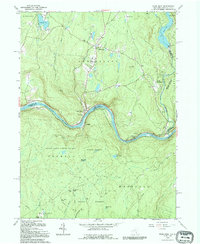 1992 Pond Eddy1994 Print · USGSAlong the winding border of New York and Pennsylvania in the 1990s, this area shows a landscape of river-bend settlements and state forests. Genealogists can locate Pond Eddy and Glen Spey, or trace family sites at Hillside Cem and Sacred Heart Ch.
 - 1992 Map of Leola, 1994 Print
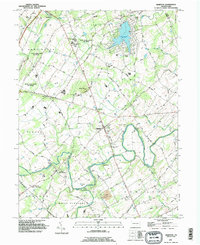
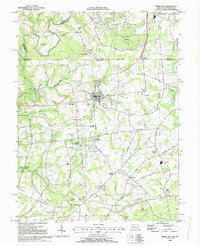
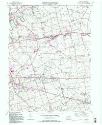 1992 Leola1994 Print · USGSLancaster County's agrarian landscape is captured here in the early 1990s, centered on the historic crossroads of Leola and Bareville. Genealogists and historians can trace family locations near Bird in Hand, Carpenter Ch, and the numerous local schoolhouses like Mill Creek Sch.2 unique versions available
 - 1992 Map of New Holland, 1994 Print
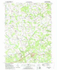
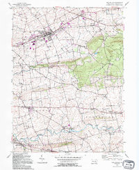 1992 New Holland1994 Print · USGSLancaster County's agricultural heartland is captured here in the late twentieth century, showing a landscape of tight-knit villages and sprawling farms. Researchers can trace family roots through numerous local landmarks like Lady of Lourdes, Zeltenreich Ch, and rural schoolhouses including Hatville Sch.
 - 1992 Map of Port Jervis North, 1994 Print
 1992 Port Jervis North1994 Print · USGSThe tri-state border region comes alive in this late twentieth-century study of the confluence of the Delaware and Neversink Rivers. Researchers can trace the path of the Erie Lackawanna railroad or locate family sites at Paradise Cem and the village of Sparrow Bush.
 - 1992 Map of Callicoon, 1994 Print
 1992 Callicoon1994 Print · USGSThe Upper Delaware River valley of New York and Pennsylvania is captured here in the early nineties, showing a landscape defined by river bends and high ridges. Genealogists can trace family roots through Holy Cross Cem, the streets of Hortonville, and the grounds of St Josephs Seminary.
Showing maps 1-25 of 457
Top cities of Pennsylvania
- Philadelphia historical maps
- Pittsburgh historical maps
- Allentown historical maps
- Erie historical maps
- Reading historical maps
- Upper Darby historical maps
See more
Top counties of Pennsylvania
- Philadelphia County historical maps
- Allegheny County historical maps
- Montgomery County historical maps
- Bucks County historical maps
- Delaware County historical maps
- Chester County historical maps
See more
Frequently asked questions
- What are the different types of historical maps available for Pennsylvania?
- What is the oldest map of Pennsylvania?
- Where can I purchase historical maps of Pennsylvania for my home or office?
- Where can I download high-res historical maps of Pennsylvania?
- Are there historical topographic maps available for Pennsylvania?
- Is there historical aerial imagery available for Pennsylvania?
- Where are historical maps of Pennsylvania sourced from?