2020s Maps of Texas
Explore 4,565 historic maps of Texas from the 2020s. These maps offer a rare glimpse into what life looked like during the 2020s — showing old roads, neighborhoods, homes, and landmarks that have changed or disappeared over time.
Whether you're researching your family's past, planning a metal detecting trip, or studying how Texas's landscape evolved across the 2020s, these high-resolution maps are a powerful tool for exploring the history of this region.
- Focus on a specific era: All maps on this page are from the 2020s, giving you a focused view of this time period.
- See what’s changed: Compare century-old streets, trails, and buildings to today's modern landscape using overlays and satellite layers.
- Research with precision: Use these maps for genealogy, historical research, land use analysis, or educational projects.
- View, download, or print: Maps are fully viewable online in high resolution, and can be downloaded or printed for your own records.
Start exploring Texas's history through authentic maps from the 2020s. This is your window into the past.
Texas maps
- 2020 Map of La Union, 2020 Print
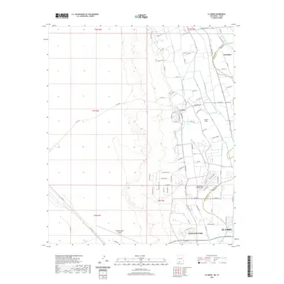 2020 La Union2020 Print · USGSCovers Texas, including El Paso, Anthony, and other nearby areas
 - 2020 Map of Strauss, 2020 Print
 2020 Strauss2020 Print · USGSCovers Texas, including El Paso, Sunland Park, and other nearby areas
 - 2020 Map of Javelina Basin, 2020 Print
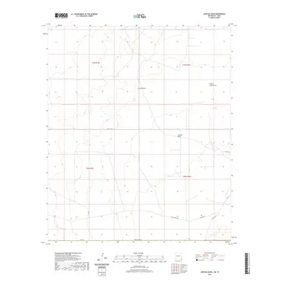 2020 Javelina Basin2020 Print · USGSCovers Texas, including Medlin Place, Lea County, and other nearby areas
 - 2020 Map of Jumping Spring, 2020 Print
 2020 Jumping Spring2020 Print · USGSCovers Texas, including Eddy County, Culberson County, and other nearby areas
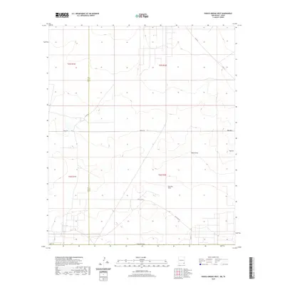
 - 2020 Map of Paduca Breaks East, 2020 Print
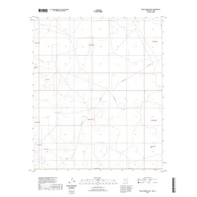 2020 Paduca Breaks East2020 Print · USGSCovers Texas, including Lea County, Loving County, and other nearby areas
 - 2020 Map of Ross Ranch, 2020 Print
 2020 Ross Ranch2020 Print · USGSCovers Texas, including Eddy County, Reeves County, and other nearby areas
 - 2020 Map of Red Bluff, 2020 Print
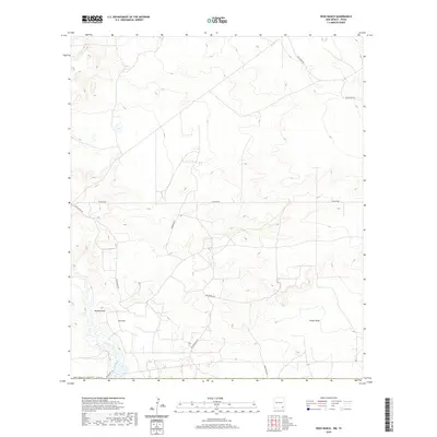
 2020 Red Bluff2020 Print · USGSCovers Texas, including Red Bluff, Eddy County, and other nearby areas
 - 2020 Map of El Paso Gap, 2020 Print
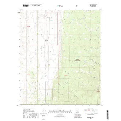 2020 El Paso Gap2020 Print · USGSCovers Texas, including Otero County, Eddy County, and other nearby areas
 - 2020 Map of Jal, 2020 Print
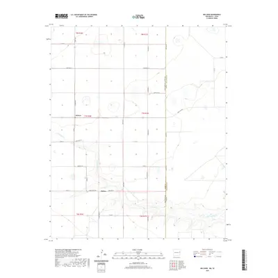
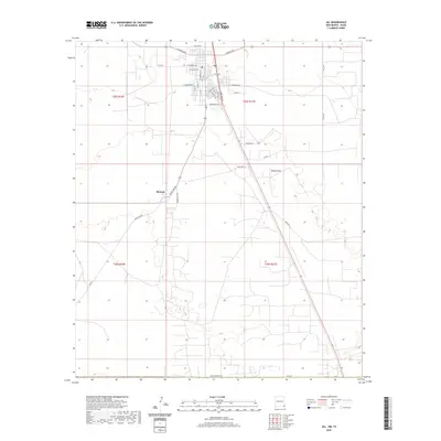 2020 Jal2020 Print · USGSCovers Texas, including Jal, Bennett, and other nearby areas
 - 2020 Map of Paduca Breaks West, 2020 Print
 2020 Paduca Breaks West2020 Print · USGSCovers Texas, including Ross Place, Lea County, and other nearby areas
 - 2020 Map of Endee Hill, 2020 Print
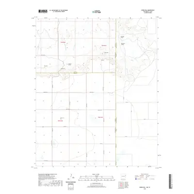 2020 Endee Hill2020 Print · USGSCovers Texas, including Curry County, Deaf Smith County, and other nearby areas
 - 2020 Map of Arch NE, 2020 Print
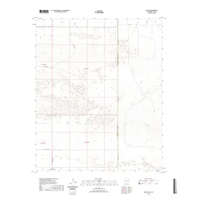 2020 Arch NE2020 Print · USGSCovers Texas, including Roosevelt County, Bailey County, and other nearby areas
 - 2020 Map of Cottonwood Hills, 2020 Print
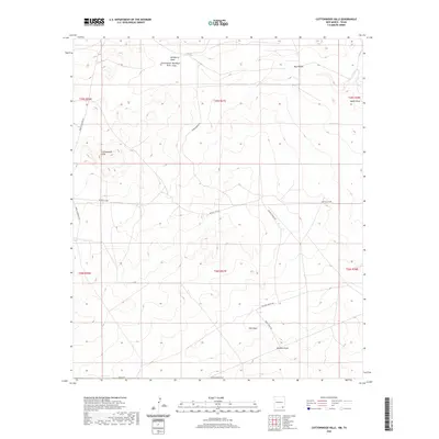 2020 Cottonwood Hills2020 Print · USGSCovers Texas, including Eddy County, Culberson County, and other nearby areas
 - 2020 Map of Phantom Banks, 2020 Print
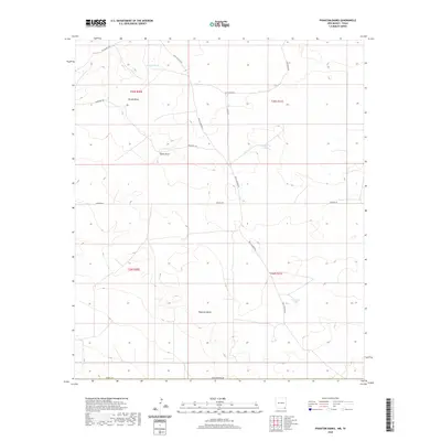 2020 Phantom Banks2020 Print · USGSCovers Texas, including Eddy County, Loving County, and other nearby areas
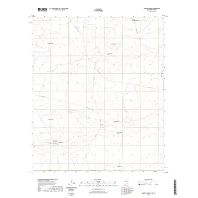
 - 2020 Map of Andrews Place, 2020 Print
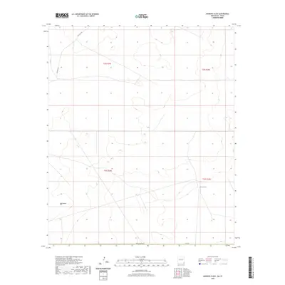 2020 Andrews Place2020 Print · USGSCovers Texas, including Andrews Place, Lea County, and other nearby areas
 - 2020 Map of Rattlesnake Springs, 2020 Print
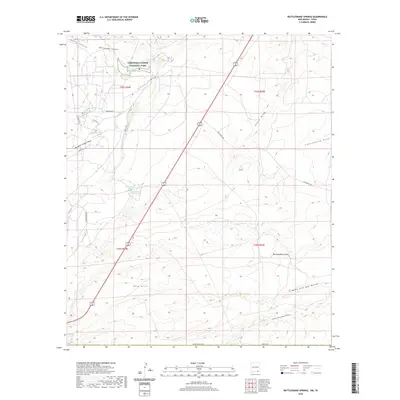 2020 Rattlesnake Springs2020 Print · USGSCovers Texas, including Eddy County, Culberson County, and other nearby areas
 - 2020 Map of Hobbs East, 2020 Print
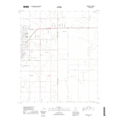 2020 Hobbs East2020 Print · USGSCovers Texas, including Hobbs, State Line, and other nearby areas
 - 2020 Map of Prairieview NE, 2020 Print
 2020 Prairieview NE2020 Print · USGSCovers Texas, including Lea County, Yoakum County, and other nearby areas
 - 2020 Map of Pleasant Hill NE, 2020 Print
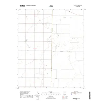
 2020 Pleasant Hill NE2020 Print · USGSCovers Texas, including Curry County, Deaf Smith County, and other nearby areas
 - 2020 Map of Pleasure Lake, 2020 Print
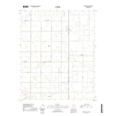 2020 Pleasure Lake2020 Print · USGSCovers Texas, including Curry County, Roosevelt County, and other nearby areas
 - 2020 Map of Pleasant Hill, 2020 Print
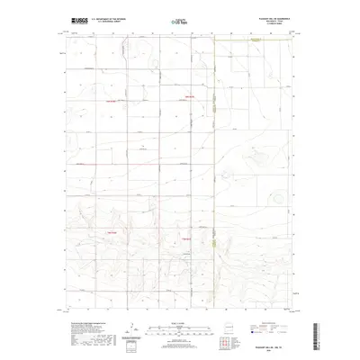
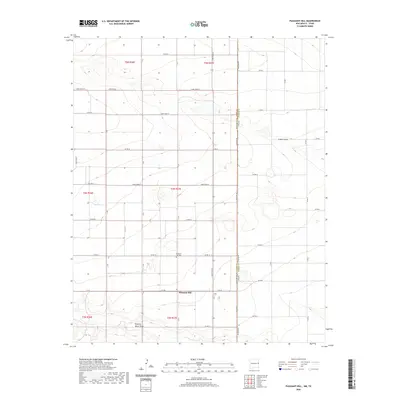 2020 Pleasant Hill2020 Print · USGSCovers Texas, including Pleasant Hill, Curry County, and other nearby areas
 - 2020 Map of Bellview, 2020 Print
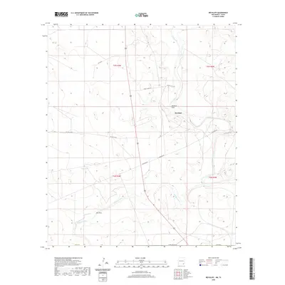
 2020 Bellview2020 Print · USGSCovers Texas, including Bellview, Hollene, and other nearby areas
 - 2020 Map of Causey East, 2020 Print
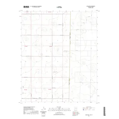 2020 Causey East2020 Print · USGSCovers Texas, including Causey, Roosevelt County, and other nearby areas
 - 2020 Map of Alamo Mountain, 2020 Print
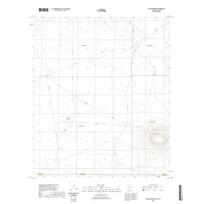 2020 Alamo Mountain2020 Print · USGSCovers Texas, including Otero County, Hudspeth County, and other nearby areas
 - 2020 Map of Bledsoe NE, 2020 Print
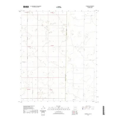 2020 Bledsoe NE2020 Print · USGSCovers Texas, including Roosevelt County, Cochran County, and other nearby areas
Showing maps 1-25
Top cities of Texas
- Houston historical maps
- San Antonio historical maps
- Dallas historical maps
- Fort Worth historical maps
- Austin historical maps
- El Paso historical maps
See more
Top counties of Texas
- Harris County historical maps
- Dallas County historical maps
- Tarrant County historical maps
- Bexar County historical maps
- Travis County historical maps
- Collin County historical maps
See more
Frequently asked questions
- What are the different types of historical maps available for Texas?
- What is the oldest map of Texas?
- Where can I purchase historical maps of Texas for my home or office?
- Where can I download high-res historical maps of Texas?
- Are there historical topographic maps available for Texas?
- Is there historical aerial imagery available for Texas?
- Where are historical maps of Texas sourced from?