1980s Maps of Texas
Explore 1,098 historic maps of Texas from the 1980s. These maps offer a rare glimpse into what life looked like during the 1980s — showing old roads, neighborhoods, homes, and landmarks that have changed or disappeared over time.
Whether you're researching your family's past, planning a metal detecting trip, or studying how Texas's landscape evolved across the 1980s, these high-resolution maps are a powerful tool for exploring the history of this region.
- Focus on a specific era: All maps on this page are from the 1980s, giving you a focused view of this time period.
- See what’s changed: Compare century-old streets, trails, and buildings to today's modern landscape using overlays and satellite layers.
- Research with precision: Use these maps for genealogy, historical research, land use analysis, or educational projects.
- View, download, or print: Maps are fully viewable online in high resolution, and can be downloaded or printed for your own records.
Start exploring Texas's history through authentic maps from the 1980s. This is your window into the past.
Texas maps
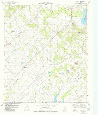
- 1980 Map of Arroyo Huisache
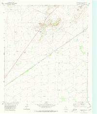
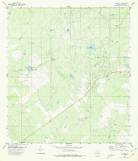
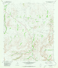
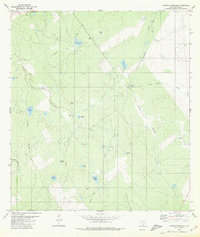 1980 Arroyo Huisache1980 Print · USGSZapata County ranching and energy exploration are captured here in the late seventies. Family-named landmarks like Lobitas Tank and Adame Tank can be traced alongside the rural settlement of Bustamante and its local Cem.
 - 1980 Map of Big Valley North
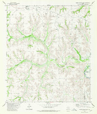
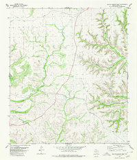
 1980 Big Valley North1980 Print · USGSThe Colorado River and Pecan Bayou come together along the Mills and San Saba county line during the late 1970s. Genealogists can trace deep local roots at rural sites like Big Valley Cem, Estep Cem, and the Big Valley Ch.2 unique versions available
 - 1980 Map of Geddis Canyon East
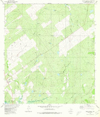
 1980 Geddis Canyon East1980 Print · USGSThe Trans-Pecos region during the late 1970s reveals a landscape of energy production and remote ranching outposts. Researchers can trace the railway activity at Terrell Station and locate natural water sources like Johnson Seep and Packingham Spring.
 - 1980 Map of Blancas Creek North
 1980 Blancas Creek North1980 Print · USGSWebb County ranch land in the 1970s is documented here as a landscape of brush and resource extraction. Researchers can trace the paths of Dolores Creek and Blancas Creek or locate ranching infrastructure like the isolated well.
 - 1980 Map of Bassett Lake
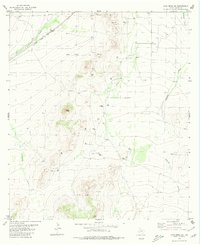
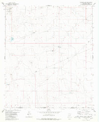 1980 Bassett Lake1980 Print · USGSThe high desert borderlands of Otero County are captured here in the early eighties. Researchers can trace water management and military boundaries across the landscape, from Bassett Lake and Escondida Tank to the vast Fort Bliss Military Reservation.
 - 1980 Map of Chancellor
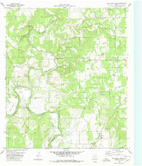
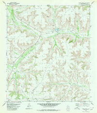
 1980 Chancellor1980 Print · USGSPecos County's arid landscape is captured in the late seventies as a hub of rail transport and resource extraction. Trace the path of the Atchison Topeka and Santa Fe through Chancellor and locate landmarks like Triple Butte and Acebuche Draw.
 - 1980 Map of Cave Mesa NE
 1980 Cave Mesa NE1980 Print · USGSPecos County was a hub of energy and rail transit in the early eighties. You can trace the path of the Atchison Topeka and Santa Fe railroad and locate infrastructure like the Oates Pumping Sta and the high point of Pikes Peak.
 - 1980 Map of Mogotes Hill
 1980 Mogotes Hill1980 Print · USGSZapata County at the start of the eighties shows a landscape shaped by energy exploration and rugged brush country. Trace the footprint of the local gas industry alongside isolated landmarks like a lone Grave and the heights of Mogotes Hill.
 - 1980 Map of Arroyo Melado
 1980 Arroyo Melado1980 Print · USGSThe Texas-Mexico borderlands come into focus in 1980, as the river winds through the desert canyons of Presidio County. Family historians can locate the Ochoa Cem and trace the paths of a Jeep Trail and Landing Strip near Arroyo Melado.
 - 1980 Map of Escobas
 1980 Escobas1980 Print · USGSThe ranching and energy landscape of Zapata County, Texas, is captured here during the 1980s. Researchers can trace remote family burial grounds at Gracia Cem and Camaron Cem or locate the numerous water catchments like Rancho Viejo Tank that supported the local cattle industry.
 - 1980 Map of Bowser
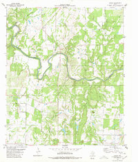 1980 Bowser1980 Print · USGSThe Colorado River corridor near the San Saba and Mills County line comes to life in this mid-1970s study. Genealogists and local historians can trace family ties at Vargy Chapel, Oakland Church, and the Bowser Cemetery near the old Bowser settlement.
 - 1980 Map of Sierra Madera SE
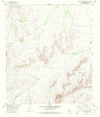 1980 Sierra Madera SE1980 Print · USGSPecos County ranch lands are captured here during the 1980s, showcasing the isolated water infrastructure of West Texas. Researchers can locate family-named landmarks and remote facilities like Talley Taylor Tank, Mitchell Tank, and the local Landing Strip.
 - 1980 Map of Alamito Creek
 1980 Alamito Creek1980 Print · USGSWebb County ranch lands and water management are captured here in the late seventies. Family historians and researchers can locate the Becerra Cem or trace the drainage paths of Salado Creek and Alamito Creek across the territory.
 - 1980 Map of Agua Azul Creek East
 1980 Agua Azul Creek East1980 Print · USGSThe brushlands of South Texas appear at the height of their energy development in the early eighties. Genealogists and researchers can trace family-named landmarks and infrastructure like Agua Azul Creek, the Oil Field, and the Webb Co Zapata Co line.
 - 1980 Map of Mirando City
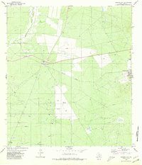 1980 Mirando City1980 Print · USGSMirando City and Aguilares appear during the South Texas oil and gas era of the early eighties. Genealogists and researchers can trace the Texas Mexican railway, locate the San Pedro Cem, and identify numerous Oil Wells and pipelines.
 - 1980 Map of Poetry
 1980 Poetry1980 Print · USGSThe rural Texas landscape at the transition of the seventies and eighties reveals a network of water and energy infrastructure. Genealogists can locate several family and community landmarks, including Henderson-Mosley Cem, Campground Ch, and the old Poetry settlement.2 unique versions available
 - 1980 Map of Callaghan Ranch SE
 1980 Callaghan Ranch SE1980 Print · USGSSouth Texas ranch land is captured in the early 1980s, documenting the vital water and energy infrastructure of Webb County. Researchers can trace the layout of The Old Ranch, numerous livestock Tanks, and a major regional Pipeline.
 - 1980 Map of Arroyo Miguel
 1980 Arroyo Miguel1980 Print · USGSZapata County rangeland in the early eighties was a landscape of cattle ranching and energy extraction. Researchers can trace the network of ranching tanks like San Antonio Tank and find local landmarks such as Chihuahua Farm and the Rodeo Ground.
 - 1980 Map of Geddis Canyon West
 1980 Geddis Canyon West1980 Print · USGSTerrell County ranchlands are documented here in the late seventies, showing a landscape defined by deep drainages and cattle country. Researchers can trace the winding paths of Big Canyon and Geddis Canyon alongside a rugged Jeep Trail and remote gravel operations.
 - 1980 Map of Oasis Ranch
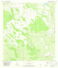
 1980 Oasis Ranch1980 Print · USGSTerrell County ranch land in the early eighties shows a landscape shaped by water and energy. Researchers can trace the ranching infrastructure near Oasis Ranch and Independence Creek alongside numerous Gas Wells and a Landing Strip.
 - 1980 Map of Rock House Draw
 1980 Rock House Draw1980 Print · USGSPecos County in the early eighties was a landscape of deep draws and industrial expansion. Genealogists and historians can trace the intersection of water and industry through Independence Creek, the Landing Strip, and scattered Gas Wells.
 - 1980 Map of Roundhill Ranch
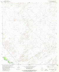
 1980 Roundhill Ranch1980 Print · USGSVal Verde County ranching country is captured here during the late 1970s, showing the isolated outposts of the Texas high desert. Researchers can locate specific water sources and landmarks like Roundhill Ranch, Bassett, and the prominent Osman Draw.
 - 1980 Map of Venado Creek West
 1980 Venado Creek West1980 Print · USGSRanching life in Webb County during the late seventies is centered on the vital watercourses and rail lines of the brush country. Researchers can trace family-named landmarks like Bruni Ranch, the settlement at San Roman, and the corridor of the Missouri Pacific railroad.
 - 1980 Map of Burrito Tank
 1980 Burrito Tank1980 Print · USGSSouth Texas ranching country in the early eighties is defined by the rail corridor and essential water infrastructure. Researchers can trace the Texas Mexican line near Killam and locate family landmarks like Yugo Ranch and the Grave.
 - 1980 Map of Agua Azul Creek West
 1980 Agua Azul Creek West1980 Print · USGSWebb and Zapata counties appear here during the early eighties, showcasing a landscape of South Texas ranching and energy production. Researchers can trace land use through features like the Landing Strip, Oil Wells, and water sources like Los Lasos Tank.
Showing maps 1-25
Top cities of Texas
- Houston historical maps
- San Antonio historical maps
- Dallas historical maps
- Fort Worth historical maps
- Austin historical maps
- El Paso historical maps
See more
Top counties of Texas
- Harris County historical maps
- Dallas County historical maps
- Tarrant County historical maps
- Bexar County historical maps
- Travis County historical maps
- Collin County historical maps
See more
Frequently asked questions
- What are the different types of historical maps available for Texas?
- What is the oldest map of Texas?
- Where can I purchase historical maps of Texas for my home or office?
- Where can I download high-res historical maps of Texas?
- Are there historical topographic maps available for Texas?
- Is there historical aerial imagery available for Texas?
- Where are historical maps of Texas sourced from?