1970s Maps of Texas
Explore 1,306 historic maps of Texas from the 1970s. These maps offer a rare glimpse into what life looked like during the 1970s — showing old roads, neighborhoods, homes, and landmarks that have changed or disappeared over time.
Whether you're researching your family's past, planning a metal detecting trip, or studying how Texas's landscape evolved across the 1970s, these high-resolution maps are a powerful tool for exploring the history of this region.
- Focus on a specific era: All maps on this page are from the 1970s, giving you a focused view of this time period.
- See what’s changed: Compare century-old streets, trails, and buildings to today's modern landscape using overlays and satellite layers.
- Research with precision: Use these maps for genealogy, historical research, land use analysis, or educational projects.
- View, download, or print: Maps are fully viewable online in high resolution, and can be downloaded or printed for your own records.
Start exploring Texas's history through authentic maps from the 1970s. This is your window into the past.
Texas maps
- 1970 Map of New Lynn, 1971 Print
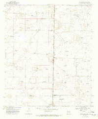
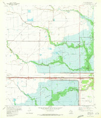
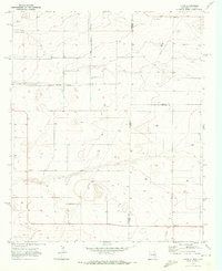
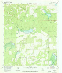
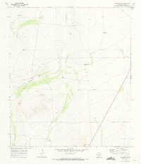
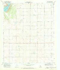 1970 New Lynn1971 Print · USGSLynn County was a landscape of remote farmsteads and groundwater management in the early seventies. Trace the distribution of rural resource sites like Bartley, New Lynn, and the shores of Tahoka Lake as the region's agricultural infrastructure expanded.
 - 1970 Map of Draw, 1971 Print
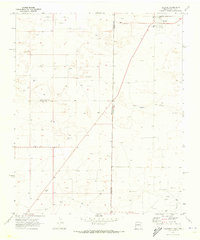
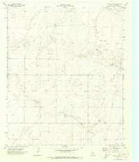
 1970 Draw1971 Print · USGSThe High Plains of Lynn County are captured here in the early seventies, showcasing a landscape of isolated farmsteads and essential water sources. Genealogists can trace property lines and find the small communities of Draw and Pennington.
 - 1970 Map of Indian Canyon NW, 1971 Print
 1970 Indian Canyon NW1971 Print · USGSTexas High Plains life in the early seventies centered on remote county line junctions and deep water wells. Genealogists and local historians can trace the rural landscape through Plain View Cem, the community at Plains, and Berry Flat Ch.
 - 1970 Map of Prairieview NE, 1972 Print
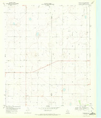
 1970 Prairieview NE1972 Print · USGSThe High Plains of Lea County during the early seventies reveal a landscape shaped by ranching and the oil industry. Genealogists and historians can trace local family names through Murphys Chapel Cem and numerous landmarks like Floyd Windmill or the North Townsend Windmill.2 unique versions available
 - 1970 Map of Bronco NE, 1972 Print
 1970 Bronco NE1972 Print · USGSThe high plains borderland between New Mexico and Texas was a hive of energy production and ranching at the start of the seventies. Researchers can trace the development of the Buckshot Oil Field and locate family landmarks like Standefer Ranch or the Davis Windmill.
 - 1970 Map of Cypress, 1972 Print
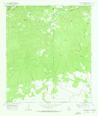
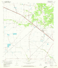 1970 Cypress1972 Print · USGSCypress and its surrounding prairie are shown here during the early 1970s as suburban growth began to reach into rural Harris County. Researchers can trace family history through sites like Graves Cem and Muller Cem, or follow the Southern Pacific rail line through Hot Wells.3 unique versions available
 - 1970 Map of Sevenmile Corner NE, 1972 Print
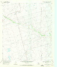 1970 Sevenmile Corner NE1972 Print · USGSThe Upton and Reagan County line comes alive in the 1970s as a hub of energy production. Trace the industrial footprint of the Benedum Oil Field through its network of Oil Wells, Pumping Sta, and the High Lonesome Draw.
 - 1970 Map of Stiles NW, 1972 Print
 1970 Stiles NW1972 Print · USGSReagan County ranchlands meet the Permian Basin oil boom in this early 1970s survey. Genealogists and historians can locate family outposts like Hartgrove Ranch and Ham Ranch alongside the industrial footprint of the Oil Field and High Lonesome Draw.
 - 1970 Map of Addicks, 1972 Print
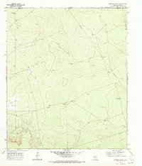
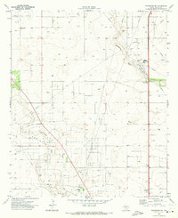
 1970 Addicks1972 Print · USGSWest Houston and the Addicks area are seen here at a critical moment of hydrological and suburban transformation during the early seventies. Genealogists and local historians can trace the Baker Cem or follow the old Missouri Kansas Texas rail line through the Addicks Reservoir.4 unique versions available
 - 1970 Map of Lindsey Ranch, 1972 Print
 1970 Lindsey Ranch1972 Print · USGSUpton County at the start of the 1970s reveals a West Texas landscape defined by the oil industry and ranching life. Genealogists and industrial historians can trace a PIPELINE network through Lindsey Ranch or locate an Oil Well along High Lonesome Draw.
 - 1970 Map of Bronco, 1972 Print
 1970 Bronco1972 Print · USGSThe high plains along the New Mexico and Texas border come alive in the early 1970s, showing a landscape defined by ranching and energy. Genealogists and historians can trace family-named landmarks like Dillberry Windmill, a rural School, and the Gladiola Oil Field.2 unique versions available
 - 1970 Map of Prairieview SE, 1972 Print
 1970 Prairieview SE1972 Print · USGSThe high plains of the Texas and New Mexico border come into focus in the early seventies, detailing a landscape of rural industry and agriculture. Genealogists and historians can trace local landmarks like Antioch Ch, the Cotton Gin, and family-named routes such as Fillingim Road.
 - 1970 Map of Lingo, 1972 Print
 1970 Lingo1972 Print · USGSThe High Plains at the New Mexico and Texas border come alive in the early seventies, showing a landscape defined by ranching and resource extraction. Trace the footprint of small settlements like Lingo and Griffith alongside a Landing Field and a local Gravel pit.
 - 1970 Map of Brunson Ranch, 1972 Print
 1970 Brunson Ranch1972 Print · USGSThe Texas-New Mexico borderlands in the early seventies reveal a sparse landscape of remote ranching outposts and emerging energy infrastructure. Researchers can locate family-named landmarks like Brunson Ranch and vital water sources such as Lehman Windmill or the South Windmill.
 - 1970 Map of Grassland, 1972 Print
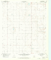
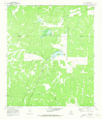
 1970 Grassland1972 Print · USGSThe community of Grassland and its surrounding High Plains landscape are captured here in the early seventies. Genealogists and local historians can locate Grassland and Central Ch or trace the early oil and water infrastructure through various wells.
 - 1970 Map of Bledsoe, 1973 Print
 1970 Bledsoe1973 Print · USGSBledsoe was a vital railhead at the edge of the Texas Panhandle during the expansion of the Permian Basin's energy reaches. Genealogists and industrial historians can trace the Atchison Topeka and Santa Fe line and the early development of the Buckshot Oil Field.
 - 1970 Map of Live Oak, 1973 Print
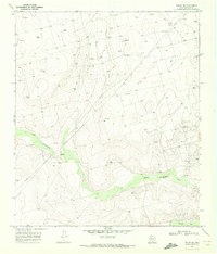
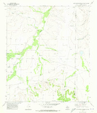
 1970 Live Oak1973 Print · USGSTexas ranching country in Concho County is captured here just as the local energy economy and water management systems were maturing. Genealogists and researchers can trace family landmarks like the Wood Ranch Landing Field, Live Oak Cem, and the settlement at Live Oak.2 unique versions available
 - 1970 Map of Plains 1 SW, 1973 Print
 1970 Plains 1 SW1973 Print · USGSYoakum County's ranching and energy landscape is captured here in the early seventies, just as petroleum exploration was reshaping the plains. Researchers can locate family landmarks like Williams Ranch or trace industrial features such as Lost Draw and the Pumping Sta.3 unique versions available
 - 1970 Map of Callan, 1973 Print
 1970 Callan1973 Print · USGSTexas ranch country on the Menard and Concho county line appears here in the early seventies, centered on the railroad siding at Callan. Genealogists and historians can trace the Atchison Topeka and Santa Fe line, Loveless Cem, and a private Landing Strip.2 unique versions available
 - 1970 Map of Boracho, 1973 Print
 1970 Boracho1973 Print · USGSCulberson County in the early seventies shows a landscape of rail-side settlements and high-desert ranching. Genealogists can find family landmarks like Stewart Windmill and the Cem near Boracho, along with a network of water-collection sites like Badger Tank.
 - 1970 Map of Seagraves SW, 1973 Print
 1970 Seagraves SW1973 Print · USGSGaines County in the early 1970s is a landscape defined by the West Texas petroleum industry. Researchers can trace the extensive pipeline networks of the O D C Oil Field or locate the Sulfur Plant, Refinery, and the County Memorial Cem.
 - 1970 Map of Hermosa SW, 1973 Print
 1970 Hermosa SW1973 Print · USGSReeves County at the start of the 1970s shows a landscape of utility and transit across the West Texas desert. Researchers can trace the path of the Texas and Pacific railroad and locate local industry sites like the Cotton Gin and a rural Landing Strip.
 - 1970 Map of Belding SW, 1973 Print
 1970 Belding SW1973 Print · USGSPecos County ranching life in the early 1970s is captured here, centered on the drainage of the Coyanosa Draw. Genealogists and researchers can trace family-named sites like Kennedy Ranch and the Smith Place alongside numerous named wells and windmills.
 - 1970 Map of San Geronimo, 1973 Print
 1970 San Geronimo1973 Print · USGSThe Texas Hill Country ranching culture is well preserved in this 1970s survey, showing large estates and remote water sources. Researchers can locate family sites like Lee Cem, the Maverick Sch, and landmarks including Blue Gallagher Heaven.3 unique versions available
 - 1970 Map of South Mustang Draw SE, 1973 Print
 1970 South Mustang Draw SE1973 Print · USGSReagan and Irion Counties in the early seventies reveal an arid ranching landscape transitioning into an oil-producing region. Genealogists and historians can trace livestock infrastructure and water sources like West Line Camp, Lewis Windmill, and Whatley Windmill.
Showing maps 1-25
Top cities of Texas
- Houston historical maps
- San Antonio historical maps
- Dallas historical maps
- Fort Worth historical maps
- Austin historical maps
- El Paso historical maps
See more
Top counties of Texas
- Harris County historical maps
- Dallas County historical maps
- Tarrant County historical maps
- Bexar County historical maps
- Travis County historical maps
- Collin County historical maps
See more
Frequently asked questions
- What are the different types of historical maps available for Texas?
- What is the oldest map of Texas?
- Where can I purchase historical maps of Texas for my home or office?
- Where can I download high-res historical maps of Texas?
- Are there historical topographic maps available for Texas?
- Is there historical aerial imagery available for Texas?
- Where are historical maps of Texas sourced from?