2010s Maps of Andrews County, Texas
Explore 160 historic maps of Andrews County from the 2010s. These maps offer a rare glimpse into what life looked like during the 2010s — showing old roads, neighborhoods, homes, and landmarks that have changed or disappeared over time.
Whether you're researching your family's past, planning a metal detecting trip, or studying how Andrews County's landscape evolved across the 2010s, these high-resolution maps are a powerful tool for exploring the history of this region.
- Focus on a specific era: All maps on this page are from the 2010s, giving you a focused view of this time period.
- See what’s changed: Compare century-old streets, trails, and buildings to today's modern landscape using overlays and satellite layers.
- Research with precision: Use these maps for genealogy, historical research, land use analysis, or educational projects.
- View, download, or print: Maps are fully viewable online in high resolution, and can be downloaded or printed for your own records.
Start exploring Andrews County's history through authentic maps from the 2010s. This is your window into the past.
Andrews County, TX maps
(160)- 2010 Map of Bird Ranch, 2010 Print
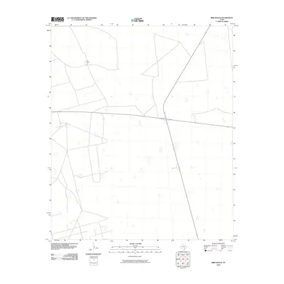 2010 Bird Ranch2010 Print · USGSTexas ranching country remains defined by wide-open spaces and long-standing family holdings in this 2010 survey of Andrews County. Trace the intersection of highways 176 and 349 as they pass near the historic Bird Ranch.
 - 2010 Map of Whalen Lake, 2010 Print
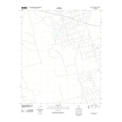 2010 Whalen Lake2010 Print · USGSThe West Texas oil country in Andrews County is captured here during the first decade of the millennium. Researchers can trace the sprawling energy infrastructure through the Block Thirteen Oil Field and Nix Oil Field near the waters of Whalen Lake.
 - 2010 Map of Baird Lake, 2010 Print
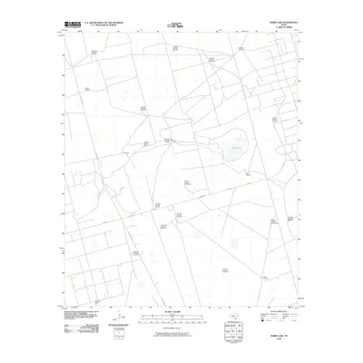 2010 Baird Lake2010 Print · USGSAndrews County ranching and energy land comes into sharp focus during this era of modern mapping. Researchers can trace the extensive network of essential water stations including Yokle Windmill, the C Ranch, and the eponymous Baird Lake.
 - 2010 Map of Jumbo Hill, 2010 Print
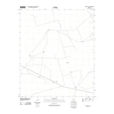 2010 Jumbo Hill2010 Print · USGSAndrews County ranch lands appear here in the early twenty-first century, showing the enduring cattle culture of West Texas. Genealogists and historians can trace the footprints of the McWhorter Ranch and Morgan Ranch, or locate water features like Jumbo Hill Windmill.
 - 2010 Map of Five Wells Ranch SW, 2010 Print
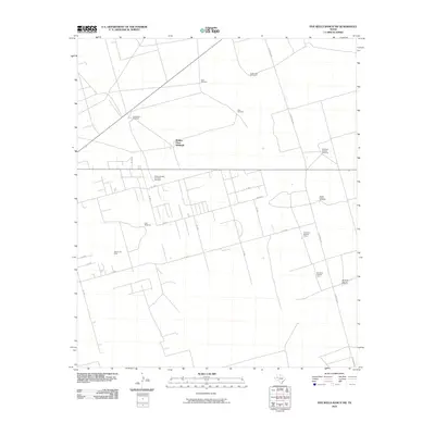 2010 Five Wells Ranch SW2010 Print · USGSAndrews County ranching and energy infrastructure are captured here during the first decade of the millennium. Researchers can trace the layout of the Wemac Oil Field and numerous named water stations like Waldon Place Windmill and South Easken Windmill.
 - 2010 Map of Five Wells Ranch SE, 2010 Print
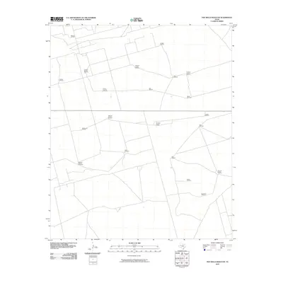 2010 Five Wells Ranch SE2010 Print · USGSAndrews County, Texas, at the turn of the decade shows a working landscape defined by petroleum and ranching. Genealogists and researchers can trace local land use through uniquely named sites like Magutex Oil Field, Okie Windmill, and Buffalo Windmill.
 - 2010 Map of Figure Seven Ranch, 2010 Print
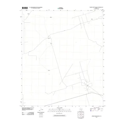 2010 Figure Seven Ranch2010 Print · USGSAndrews County ranching and energy production intersect in the early twenty-first century. Researchers can trace the layout of the Block 12 Oil Field and Bedford Oil Field alongside local landmarks like Figure Seven Ranch and Deadman Windmill.
 - 2010 Map of Sand Ranch, 2010 Print
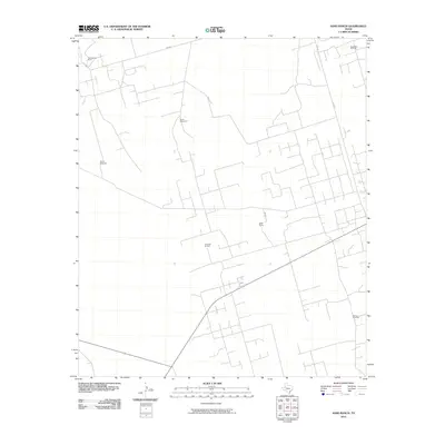 2010 Sand Ranch2010 Print · USGSAndrews County ranching and oil production are at the forefront of this 2010 survey of West Texas. Genealogists and historians can locate family-named sites like Figure Three Ranch and infrastructure including the Three Bar Oil Field and Burma Windmill.
 - 2010 Map of Five Wells Ranch, 2010 Print
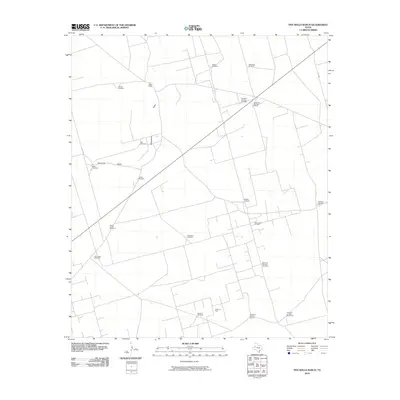 2010 Five Wells Ranch2010 Print · USGSAndrews County ranching and petroleum industries intersect at the turn of the decade in this detailed survey of the West Texas plains. Researchers can locate specific family-named landmarks like the House Windmill and Miller Windmill or trace the extent of the Hutex North Oil Field.
 - 2010 Map of Five Wells Ranch NW, 2010 Print
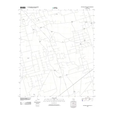 2010 Five Wells Ranch NW2010 Print · USGSAndrews County ranching and oil production are documented here in the early twenty-first century. Genealogists and local historians can locate specific family-named landmarks like the Uncle John Windmill and Charley Nichols Windmill near the Bird Ranch.
 - 2010 Map of Clabber Hill Ranch, 2010 Print
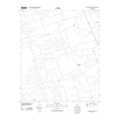 2010 Clabber Hill Ranch2010 Print · USGSAndrews County ranching and energy operations are documented here in the early twenty-first century. Researchers can trace land use through distinctive local landmarks like Clabber Hill Ranch, the Andrews South Oil Field, and the Old Place Windmills.
 - 2010 Map of Andrews, 2010 Print
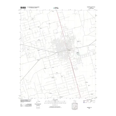 2010 Andrews2010 Print · USGSAndrews thrives in the heart of the Permian Basin at the start of the 2010s, showing a unique landscape where oil production and ranching meet. Researchers can trace family-named landmarks like Evans Windmill and Adobe Ranch alongside the Andrews Oil Field.
 - 2010 Map of North Cowden NW, 2010 Print
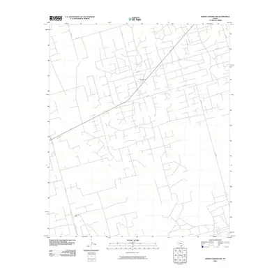 2010 North Cowden NW2010 Print · USGSAndrews County at the turn of the decade shows a landscape heavily shaped by energy production and a systematic grid of service roads. Genealogists and industrial historians can trace the vast extent of the Fuhrman Mascho Oil Field and the Embar Oil Field.
 - 2010 Map of Lazy X Ranch, 2010 Print
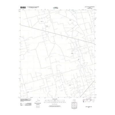 2010 Lazy X Ranch2010 Print · USGSThe Andrews County landscape at the start of the 2010s reveals a sophisticated network of oil production and ranching operations. Researchers can trace energy industry history through the Shafter Lake Oil Field and Mascho Oil Field or locate the Lazy X Ranch and North Hackberry Tank.
 - 2010 Map of Frankel City SW, 2010 Print
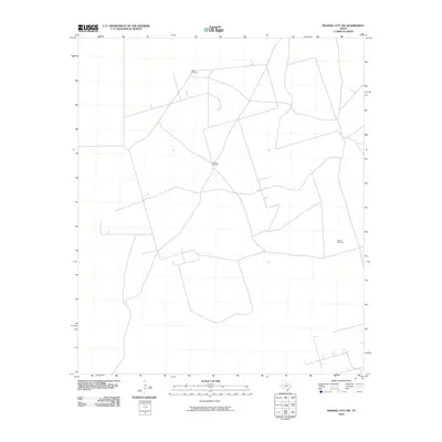 2010 Frankel City SW2010 Print · USGSAndrews County ranch land is captured in the early twenty-first century, showcasing the sparse infrastructure of the Texas Permian Basin. Local historians and land researchers can trace the utilitarian network of ranch roads connecting Double Windmill, West Windmill, and South Windmill.
 - 2010 Map of Mabee Ranch, 2010 Print
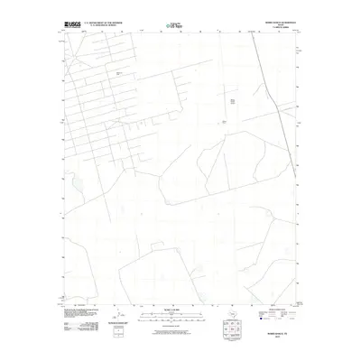 2010 Mabee Ranch2010 Print · USGSThe Permian Basin oil and cattle country of Andrews County is captured here during the first decade of the millennium. Researchers can trace the extensive footprint of the Mabee Oil Field and locate central operations at Mabee Ranch.
 - 2010 Map of Patricia SW, 2010 Print
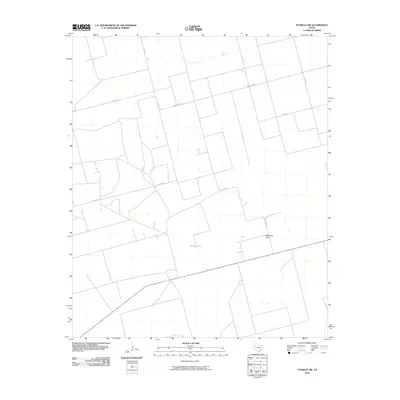 2010 Patricia SW2010 Print · USGSGaines County, Texas, is captured here in the early twenty-first century, showcasing the expansive ranching and farming grid of the High Plains. Researchers can trace local transit and drainage via McKenzie Draw, Brushy Lake, and Ranch Rd 2051.
 - 2010 Map of McKenzie Lake SE, 2010 Print
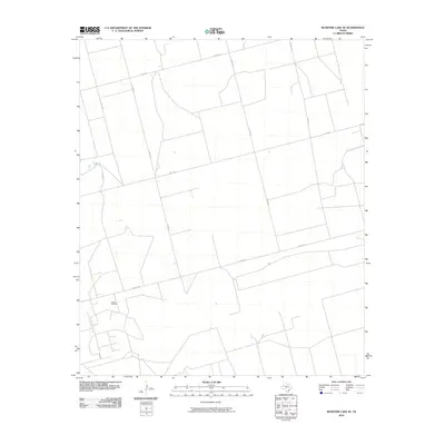 2010 McKenzie Lake SE2010 Print · USGSThe West Texas plains in Gaines County are captured here during a period of steady industrial and rural activity. Researchers can trace the layout of the Glasco Oil Field and the secondary road network including Walley Ln and Co Rd 434.
 - 2010 Map of Cedar Point Ranch, 2010 Print
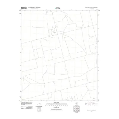 2010 Cedar Point Ranch2010 Print · USGSGaines County in the early twenty-first century reveals a landscape dominated by the energy industry and wide-open ranching tracts. Researchers can trace the layout of the Amrow Oil Field and rural access points like Radar Rd and Cedar Point Ranch.
 - 2010 Map of Seminole SW, 2010 Print
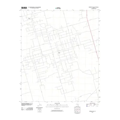 2010 Seminole SW2010 Print · USGSGaines County is defined by the industrial grid of the Permian Basin during this era of intensive energy production. Local history researchers can trace the footprint of the Doss-Robertson Oil Field and the Flanagan-Harris Oil Field along routes like Ranch Rd 2885.
 - 2010 Map of Brinson Ranch, 2010 Print
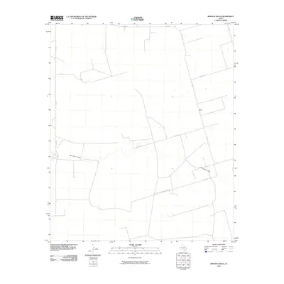 2010 Brinson Ranch2010 Print · USGSGaines County ranch land is captured here during the early twenty-first century, showcasing the sparse settlement patterns of the Texas High Plains. Researchers can trace the seasonal Monument Draw or locate the namesake Brinson Ranch among a grid of roads like Nadine Rd.
 - 2010 Map of Paynes Corner SE, 2010 Print
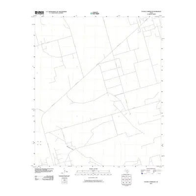 2010 Paynes Corner SE2010 Print · USGSGaines County in the early twenty-first century is defined by its vast agricultural grid and the natural path of Monument Draw. Researchers can trace the modern rural road network, from the primary Ranch Rd 181 to local routes like Co Rd 327.
 - 2010 Map of Seminole SE, 2010 Print
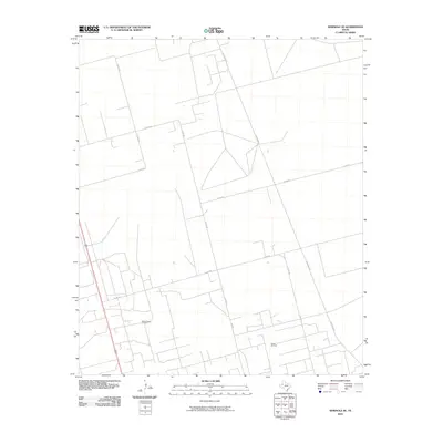 2010 Seminole SE2010 Print · USGSGaines County enters the second decade of the new century with its landscape deeply tied to petroleum production and rural transit. Researchers can trace the layout of the Means North Oil Field and industrial corridors like Telephone Rd and Ne 2501.
 - 2010 Map of Hackberry Lake, 2010 Print
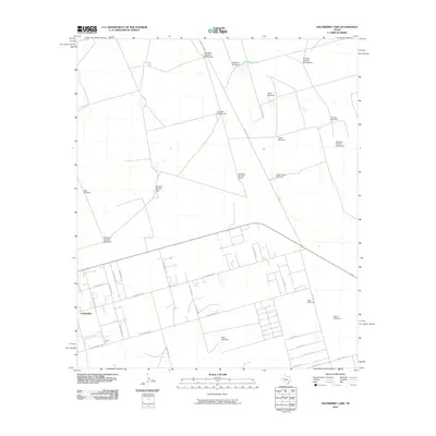 2010 Hackberry Lake2010 Print · USGSThe community of Gardendale expands into the surrounding rangeland in this 2010 survey of Ector County. Genealogists and local historians can trace the development of neighborhood streets and locate numerous specific landmarks like Hackberry Windmill and Tower Windmill.
 - 2010 Map of Gardendale NW, 2010 Print
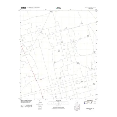 2010 Gardendale NW2010 Print · USGSThe high plains of Andrews County are shown at a time of significant energy production and ranching activity. Researchers can trace the vast infrastructure of the Midland Farms Oil Field and locate numerous named water sources like the Steel Tower Windmill and Double Windmill.
Showing maps 1-25 of 160
Top cities of Andrews County
Frequently asked questions
- What are the different types of historical maps available for Andrews County?
- What is the oldest map of Andrews County?
- Where can I purchase historical maps of Andrews County for my home or office?
- Where can I download high-res historical maps of Andrews County?
- Are there historical topographic maps available for Andrews County?
- Is there historical aerial imagery available for Andrews County?
- Where are historical maps of Andrews County sourced from?