2000s (21st Century) Maps of Coryell County, Texas
Explore 135 historic maps of Coryell County from the 2000s (21st Century). These maps offer a rare glimpse into what life looked like during the 2000s — showing old roads, neighborhoods, homes, and landmarks that have changed or disappeared over time.
Whether you're researching your family's past, planning a metal detecting trip, or studying how Coryell County's landscape evolved across the 2000s, these high-resolution maps are a powerful tool for exploring the history of this region.
- Focus on a specific era: All maps on this page are from the 2000s, giving you a focused view of this time period.
- See what’s changed: Compare century-old streets, trails, and buildings to today's modern landscape using overlays and satellite layers.
- Research with precision: Use these maps for genealogy, historical research, land use analysis, or educational projects.
- View, download, or print: Maps are fully viewable online in high resolution, and can be downloaded or printed for your own records.
Start exploring Coryell County's history through authentic maps from the 2000s. This is your window into the past.
Coryell County, TX maps
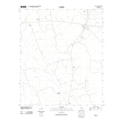
(135)- 2010 Map of Gatesville East, 2010 Print
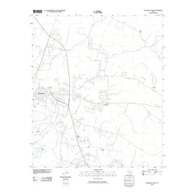 2010 Gatesville East2010 Print · USGSCovers Coryell County, including Gatesville, South Mountain, and other nearby areas
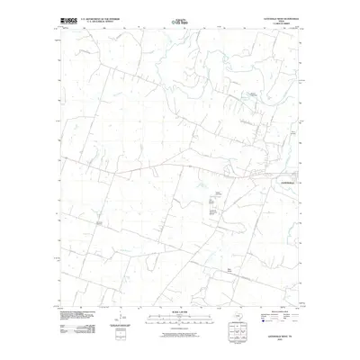
 - 2010 Map of Oglesby, 2010 Print
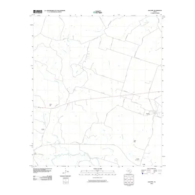 2010 Oglesby2010 Print · USGSCovers Coryell County, including McGregor, Oglesby, and other nearby areas
 - 2010 Map of Ater, 2010 Print
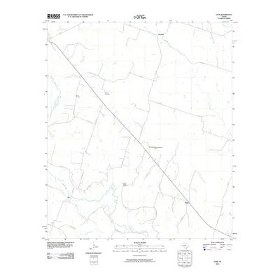 2010 Ater2010 Print · USGSCovers Coryell County, including Ater, Pancake, and other nearby areas
 - 2010 Map of North Fort Hood, 2010 Print
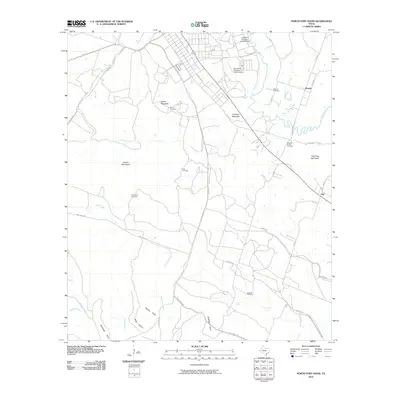 2010 North Fort Hood2010 Print · USGSCovers Coryell County, including Flat, Mound, and other nearby areas
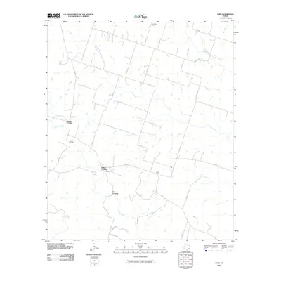
 - 2010 Map of Evant, 2010 Print
 2010 Evant2010 Print · USGSCovers Coryell County, including Evant, Fairview, and other nearby areas
 - 2010 Map of Ohio, 2010 Print
 2010 Ohio2010 Print · USGSCovers Coryell County, including Ballard Crossing, Parsley Crossing, and other nearby areas
 - 2010 Map of Leon Junction, 2010 Print
 2010 Leon Junction2010 Print · USGSCovers Coryell County, including Leon Junction, The Grove, and other nearby areas
 - 2010 Map of Purmela, 2010 Print
 2010 Purmela2010 Print · USGSCovers Coryell County, including King, Purmela, and other nearby areas
 - 2010 Map of Shell Mountains, 2010 Print
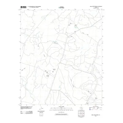 2010 Shell Mountains2010 Print · USGSCovers Coryell County, including United States, Texas, and other nearby areas
 - 2010 Map of Pidcoke, 2010 Print
 2010 Pidcoke2010 Print · USGSCovers Coryell County, including Pidcoke, Slater, and other nearby areas
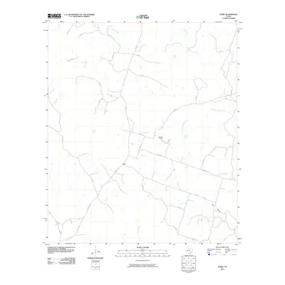
 - 2010 Map of Coryell, 2010 Print
 2010 Coryell2010 Print · USGSCovers Coryell County, including Osage, Coryell, and other nearby areas
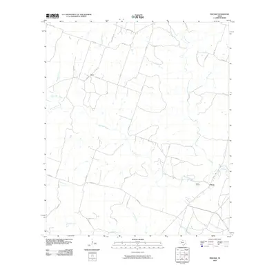
 - 2010 Map of Turnersville, 2010 Print
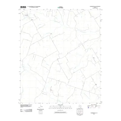 2010 Turnersville2010 Print · USGSCovers Coryell County, including Turnersville, Bosque County, and other nearby areas
 - 2010 Map of Izoro, 2010 Print
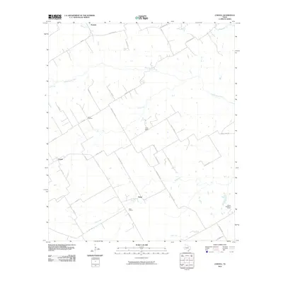
 2010 Izoro2010 Print · USGSCovers Coryell County, including Izoro, Lampasas County, and other nearby areas
 - 2010 Map of Gatesville West, 2010 Print
 2010 Gatesville West2010 Print · USGSCovers Coryell County, including Gatesville, United States, and other nearby areas
 - 2010 Map of Jonesboro, 2010 Print
 2010 Jonesboro2010 Print · USGSCovers Coryell County, including Jonesboro, Levita, and other nearby areas
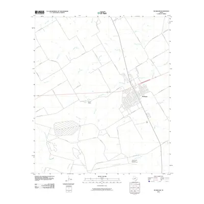
 - 2010 Map of McGregor, 2010 Print
 2010 McGregor2010 Print · USGSCovers Coryell County, including McGregor, McLennan County, and other nearby areas
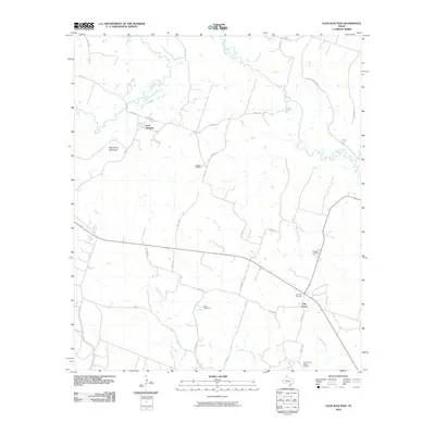
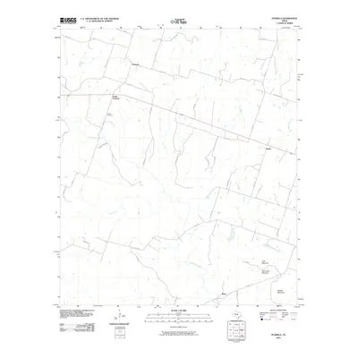
 - 2010 Map of Eagle Springs, 2010 Print
 2010 Eagle Springs2010 Print · USGSCovers Coryell County, including Whitson, Meador Grove, and other nearby areas
 - 2010 Map of Pearl, 2010 Print
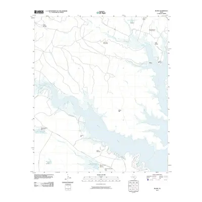
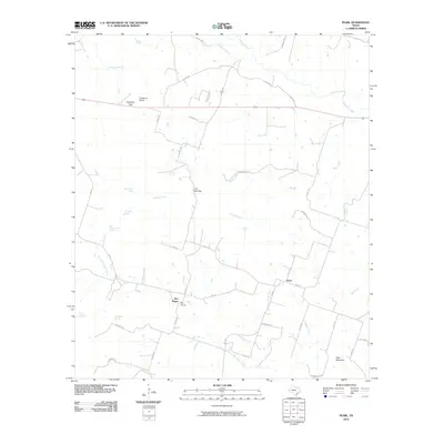 2010 Pearl2010 Print · USGSCovers Coryell County, including Pearl, Bee House, and other nearby areas
 - 2010 Map of Hurst Spring, 2010 Print
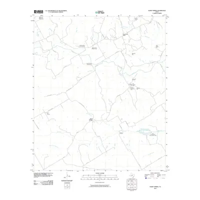 2010 Hurst Spring2010 Print · USGSCovers Coryell County, including Crossroad Store, Hurst Springs, and other nearby areas
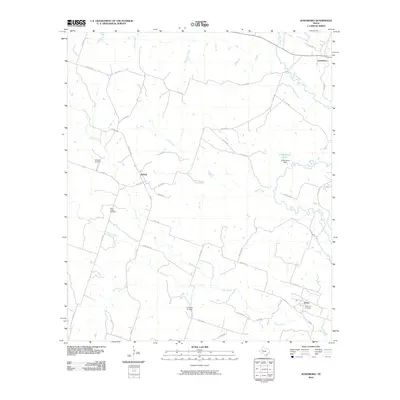
 - 2010 Map of German Valley, 2010 Print
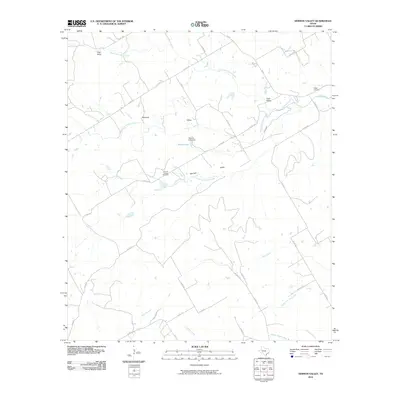 2010 German Valley2010 Print · USGSCovers Coryell County, including Bosque County, Hamilton County, and other nearby areas
 - 2010 Map of Bland, 2010 Print
 2010 Bland2010 Print · USGSCovers Coryell County, including Temple, Union Hill, and other nearby areas
 - 2010 Map of McMillan Mountains, 2010 Print
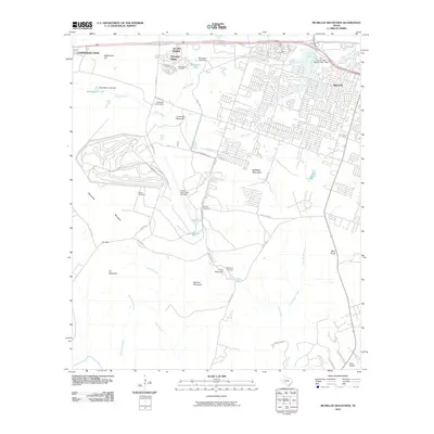 2010 McMillan Mountains2010 Print · USGSCovers Coryell County, including Killeen, Copperas Cove, and other nearby areas
 - 2010 Map of Rumley, 2010 Print
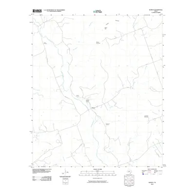 2010 Rumley2010 Print · USGSCovers Coryell County, including Rumley, Lampasas County, and other nearby areas
 - 2010 Map of Fort Hood, 2010 Print
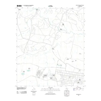 2010 Fort Hood2010 Print · USGSCovers Coryell County, including Chaffee Village, Comanche Village II, and other nearby areas
 - 2010 Map of Post Oak Mountain, 2010 Print
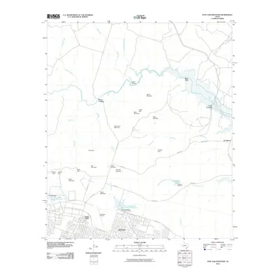 2010 Post Oak Mountain2010 Print · USGSCovers Coryell County, including Killeen, Wainwright Heights North, and other nearby areas
Showing maps 1-25 of 135
Top cities of Coryell County
- Copperas Cove historical maps
- Gatesville historical maps
- Oglesby historical maps
- South Mountain historical maps
Frequently asked questions
- What are the different types of historical maps available for Coryell County?
- What is the oldest map of Coryell County?
- Where can I purchase historical maps of Coryell County for my home or office?
- Where can I download high-res historical maps of Coryell County?
- Are there historical topographic maps available for Coryell County?
- Is there historical aerial imagery available for Coryell County?
- Where are historical maps of Coryell County sourced from?