2000s (21st Century) Maps of Crane County, Texas
Explore 125 historic maps of Crane County from the 2000s (21st Century). These maps offer a rare glimpse into what life looked like during the 2000s — showing old roads, neighborhoods, homes, and landmarks that have changed or disappeared over time.
Whether you're researching your family's past, planning a metal detecting trip, or studying how Crane County's landscape evolved across the 2000s, these high-resolution maps are a powerful tool for exploring the history of this region.
- Focus on a specific era: All maps on this page are from the 2000s, giving you a focused view of this time period.
- See what’s changed: Compare century-old streets, trails, and buildings to today's modern landscape using overlays and satellite layers.
- Research with precision: Use these maps for genealogy, historical research, land use analysis, or educational projects.
- View, download, or print: Maps are fully viewable online in high resolution, and can be downloaded or printed for your own records.
Start exploring Crane County's history through authentic maps from the 2000s. This is your window into the past.
Crane County, TX maps
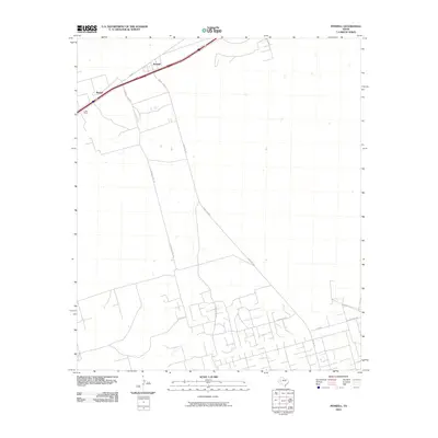
(125)- 2010 Map of Girvin, 2010 Print
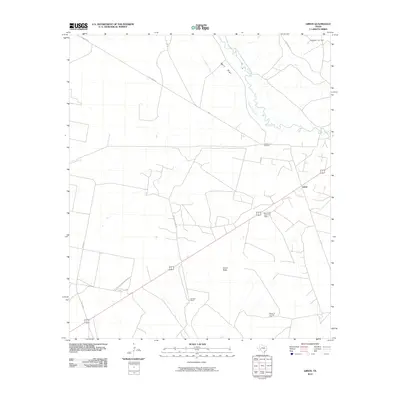 2010 Girvin2010 Print · USGSCovers Crane County, including Girvin, Pecos County, and other nearby areas
 - 2010 Map of Girvin NE, 2010 Print
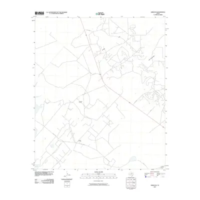 2010 Girvin NE2010 Print · USGSCovers Crane County, including Upton County, United States, and other nearby areas
 - 2010 Map of Girvin SE, 2010 Print
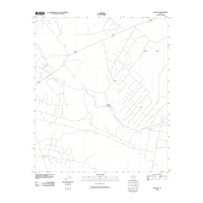 2010 Girvin SE2010 Print · USGSCovers Crane County, including Pecos County, Crockett County, and other nearby areas
 - 2010 Map of Girvin NW, 2010 Print
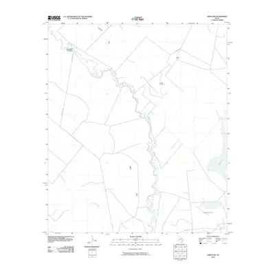 2010 Girvin NW2010 Print · USGSCovers Crane County, including Horsehead Crossing, Pecos County, and other nearby areas
 - 2010 Map of Buena Vista NE, 2010 Print
 2010 Buena Vista NE2010 Print · USGSCovers Crane County, including Pecos County, United States, and other nearby areas
 - 2010 Map of Castle Gap, 2010 Print
 2010 Castle Gap2010 Print · USGSCovers Crane County, including Upton County, United States, and other nearby areas
 - 2010 Map of Ozark Lake, 2010 Print
 2010 Ozark Lake2010 Print · USGSCovers Crane County, including Ward County, United States, and other nearby areas
 - 2010 Map of Cowden Place, 2010 Print
 2010 Cowden Place2010 Print · USGSCovers Crane County, including Cowden Place, Yarbrough & Allen Oil Field, and other nearby areas
 - 2010 Map of Penwell SE, 2010 Print
 2010 Penwell SE2010 Print · USGSCovers Crane County, including United States, Texas, and other nearby areas
 - 2010 Map of Imperial NW, 2010 Print
 2010 Imperial NW2010 Print · USGSCovers Crane County, including United States, Texas, and other nearby areas
 - 2010 Map of Penwell, 2010 Print
 2010 Penwell2010 Print · USGSCovers Crane County, including Derrick City, Penwell, and other nearby areas
 - 2010 Map of Doodle Bug Well, 2010 Print
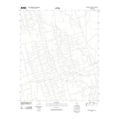 2010 Doodle Bug Well2010 Print · USGSCovers Crane County, including United States, Texas, and other nearby areas
 - 2010 Map of Tubbs Corner, 2010 Print
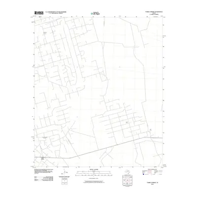 2010 Tubbs Corner2010 Print · USGSCovers Crane County, including Tubbs Corner, United States, and other nearby areas
 - 2010 Map of Monahans SE, 2010 Print
 2010 Monahans SE2010 Print · USGSCovers Crane County, including Monahans, Ward County, and other nearby areas
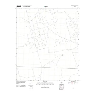
 - 2010 Map of Crane SW, 2010 Print
 2010 Crane SW2010 Print · USGSCovers Crane County, including United States, Texas, and other nearby areas
 - 2010 Map of Penwell SW, 2010 Print
 2010 Penwell SW2010 Print · USGSCovers Crane County, including United States, Texas, and other nearby areas
 - 2010 Map of Crane, 2010 Print
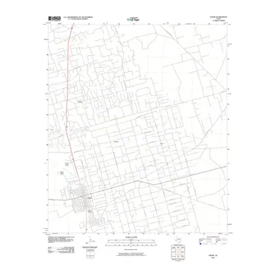 2010 Crane2010 Print · USGSCovers Crane County, including Crane, Upton County, and other nearby areas
 - 2010 Map of Metz, 2010 Print
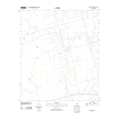
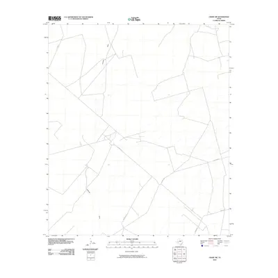
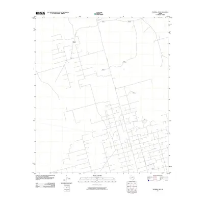
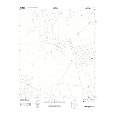
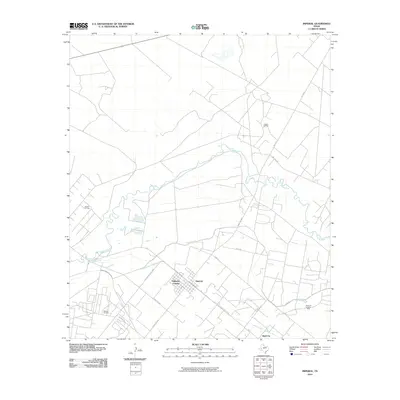
 2010 Metz2010 Print · USGSCovers Crane County, including Yarbrough & Allen Oil Field, Prairie Home, and other nearby areas
 - 2010 Map of Grandfalls, 2010 Print
 2010 Grandfalls2010 Print · USGSCovers Crane County, including Grandfalls, Royalty, and other nearby areas
 - 2010 Map of Clark Brothers Ranch, 2010 Print
 2010 Clark Brothers Ranch2010 Print · USGSCovers Crane County, including Pleasant Farms, Ector County, and other nearby areas
 - 2010 Map of Crane NW, 2010 Print
 2010 Crane NW2010 Print · USGSCovers Crane County, including United States, Texas, and other nearby areas
 - 2010 Map of South Cowden Ranch, 2010 Print
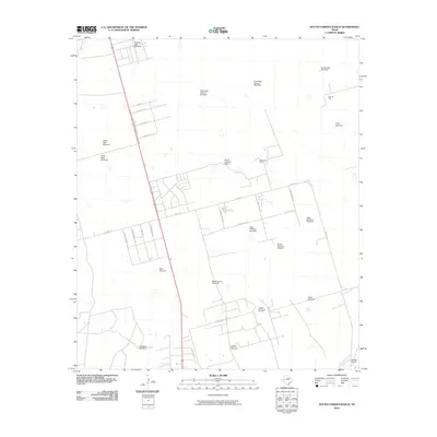 2010 South Cowden Ranch2010 Print · USGSCovers Crane County, including Wilson's Corner, Ragsdale, and other nearby areas
 - 2010 Map of Imperial, 2010 Print
 2010 Imperial2010 Print · USGSCovers Crane County, including Imperial, Imperial Colonia, and other nearby areas
 - 2010 Map of Juan Cordona Lake, 2010 Print
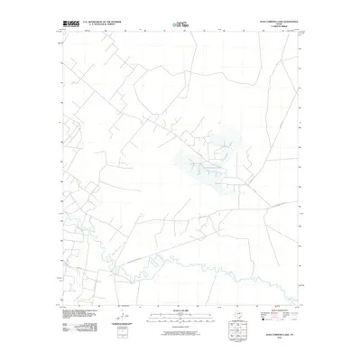 2010 Juan Cordona Lake2010 Print · USGSCovers Crane County, including Pecos County, United States, and other nearby areas
 - 2010 Map of Perkins Lake, 2010 Print
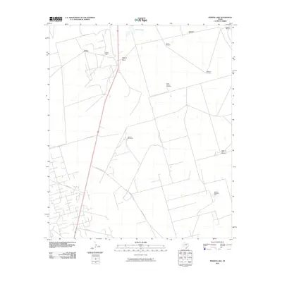 2010 Perkins Lake2010 Print · USGSCovers Crane County, including Upton County, United States, and other nearby areas
Showing maps 1-25 of 125
Top cities of Crane County
Frequently asked questions
- What are the different types of historical maps available for Crane County?
- What is the oldest map of Crane County?
- Where can I purchase historical maps of Crane County for my home or office?
- Where can I download high-res historical maps of Crane County?
- Are there historical topographic maps available for Crane County?
- Is there historical aerial imagery available for Crane County?
- Where are historical maps of Crane County sourced from?