2020s Maps of El Paso County, Texas
Explore 40 historic maps of El Paso County from the 2020s. These maps offer a rare glimpse into what life looked like during the 2020s — showing old roads, neighborhoods, homes, and landmarks that have changed or disappeared over time.
Whether you're researching your family's past, planning a metal detecting trip, or studying how El Paso County's landscape evolved across the 2020s, these high-resolution maps are a powerful tool for exploring the history of this region.
- Focus on a specific era: All maps on this page are from the 2020s, giving you a focused view of this time period.
- See what’s changed: Compare century-old streets, trails, and buildings to today's modern landscape using overlays and satellite layers.
- Research with precision: Use these maps for genealogy, historical research, land use analysis, or educational projects.
- View, download, or print: Maps are fully viewable online in high resolution, and can be downloaded or printed for your own records.
Start exploring El Paso County's history through authentic maps from the 2020s. This is your window into the past.
El Paso County, TX maps
(40)- 2020 Map of La Union, 2020 Print
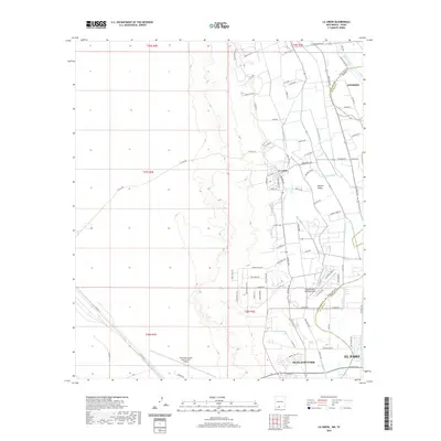 2020 La Union2020 Print · USGSThe Mesilla Valley at the turn of the decade shows a landscape defined by Rio Grande irrigation and international aviation. Trace the complex water system of the Talbot Lateral or locate the residential taxiways of Cielo Dorado Estates Airport.
 - 2020 Map of Strauss, 2020 Print
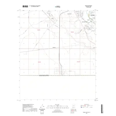 2020 Strauss2020 Print · USGSThe international borderlands near the New Mexico and Texas state line come into focus in this contemporary study. Trace the intersection of global trade and local growth through features like the Santa Teresa International Beltway and the residential streets of Sunland Park.
 - 2020 Map of Desert SW, 2020 Print
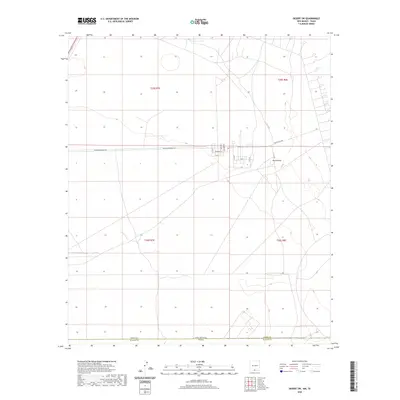 2020 Desert SW2020 Print · USGSThe high desert borderlands of New Mexico and Texas are captured here in the years following the turn of the millennium. Researchers can trace the military and utility corridors around Davis Dome and the remote intersections of Mcgregor Range Rd and Carlsbad Rd.
 - 2020 Map of Mountain Tank, 2020 Print
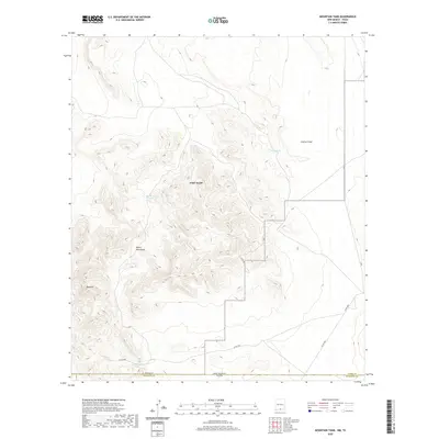 2020 Mountain Tank2020 Print · USGSThe high-desert borderlands of southern New Mexico and West Texas are documented here during the modern era. Researchers can trace the essential water sources and mountain routes that define the region, from Red House Tanks to the peaks of the Hueco Mountains.
 - 2020 Map of Newman SW, 2020 Print
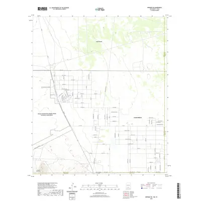 2020 Newman SW2020 Print · USGSThe borderlands between New Mexico and Texas are shown during a period of modern growth in the shadow of the Franklin Mountains. Trace the development of Chaparral alongside the military history of Fort Bliss and Nike Air Rd.
 - 2020 Map of Desert SE, 2020 Print
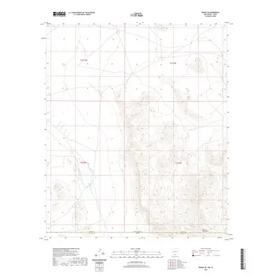 2020 Desert SE2020 Print · USGSSpanning the state line into Texas in the late 2010s, this area is defined by the high peaks of the Hueco Mountains. Researchers can trace the rugged border terrain and identify remote water sources like Flat Tank and Lake Tank near the county line.
 - 2020 Map of Newman, 2020 Print
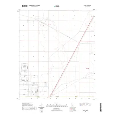 2020 Newman2020 Print · USGSThe borderlands of northern El Paso come into focus in the late 2010s as desert terrain meets expanding residential streets. Researchers can trace the layout of Newman and the precise alignments of Landing Strip Rd and Indian Ruins Rd.
 - 2020 Map of Anthony, 2020 Print
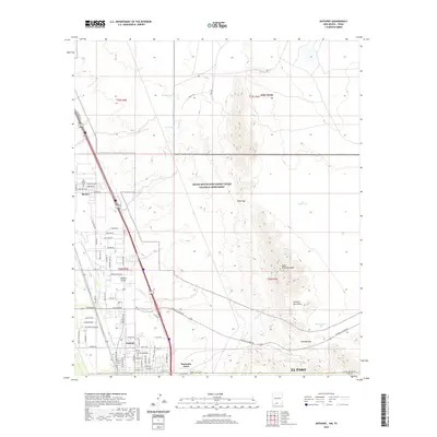 2020 Anthony2020 Print · USGSThe Mesilla Valley borderlands are captured here in 2020, showing the desert communities of Anthony and Berino. Researchers can trace the local landscape from the Old Berino Cem up to high landmarks like North Anthonys Nose and Anthony Gap.
 - 2022 Map of Clint NE, 2022 Print
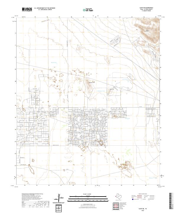 2022 Clint NE2022 Print · USGSEl Paso County's high desert plateau comes into focus in this modern era, where the ranching landscape meets residential growth. Researchers can trace the transition from open range marked by Skunk Tank to the street grids near Fm 1281 and the Hueco Mountains.
 - 2022 Map of Fort Bliss NE, 2022 Print
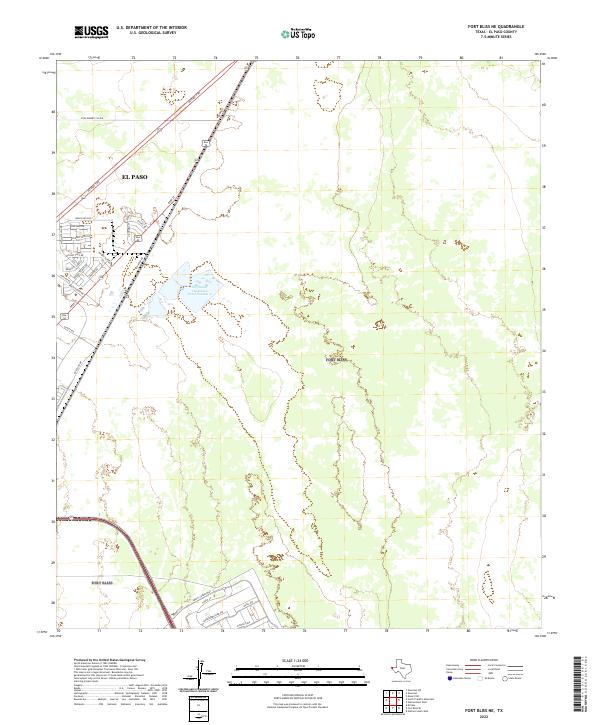 2022 Fort Bliss NE2022 Print · USGSEl Paso's northeastern edge comes into focus during this recent era of suburban and military expansion. Genealogists and local historians can trace modern street developments like Bold Eagle Rd and the logistical grid of Liberty Expy.
 - 2022 Map of North Franklin Mountain, 2022 Print
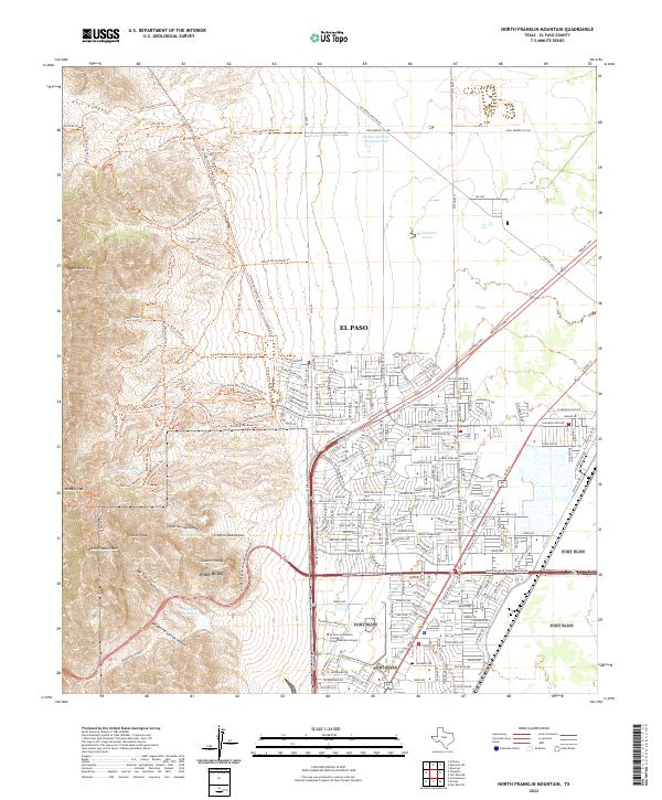 2022 North Franklin Mountain2022 Print · USGSEl Paso's northeastern frontier meets the high desert peaks of the Franklin Mountains in this contemporary topographical study. Traces of the region's mining and military history are visible alongside modern landmarks like Castner Range and the Old Tin Mine Road Trl.
 - 2022 Map of Canutillo, 2022 Print
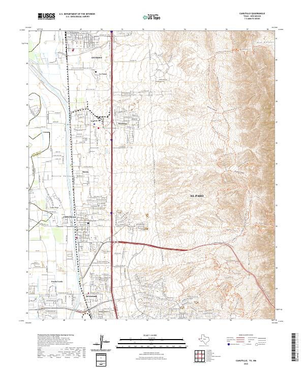 2022 Canutillo2022 Print · USGSThe Texas-New Mexico borderlands south of Anthony come into focus here during a period of modern expansion along the Rio Grande. Genealogists and hikers can trace local landmarks like the Canutillo Cem or explore the trail network through Vinton Canyon.
 - 2022 Map of San Elizario, 2022 Print
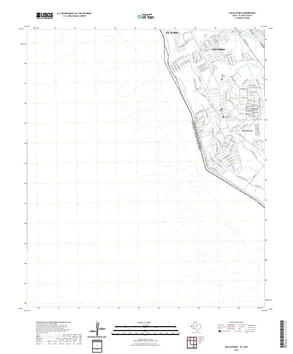 2022 San Elizario2022 Print · USGSThe international boundary at the Rio Grande and the historic settlement of San Elizario are captured here in the early 2020s. Genealogists can locate family sites at the San Elizario Cem Old and trace the complex irrigation of the Riverside Canal.
 - 2022 Map of Hueco Tanks, 2022 Print
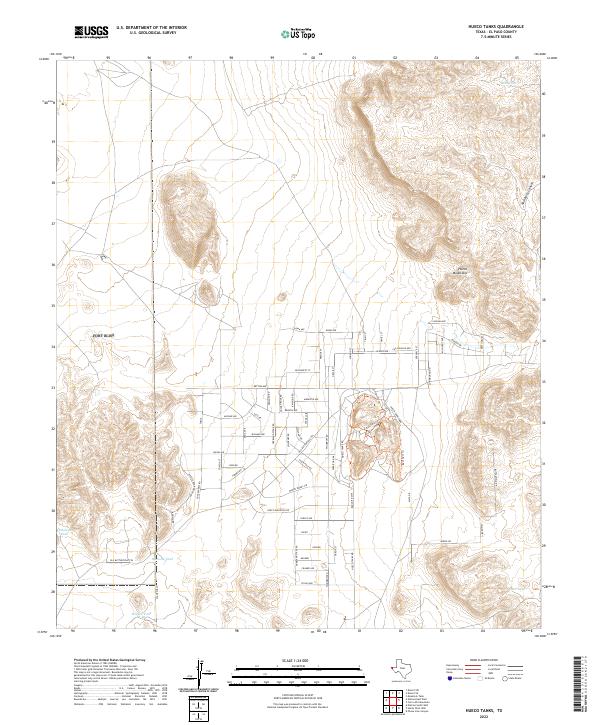 2022 Hueco Tanks2022 Print · USGSEl Paso County’s eastern reaches are captured here in the early 2020s, showing a landscape defined by rocky peaks and expanding residential grids. Local historians can trace the paths of the Basin Area Trl within Hueco Tanks Park or locate desert water sources like Ramons Tank.
 - 2022 Map of Isla, 2022 Print
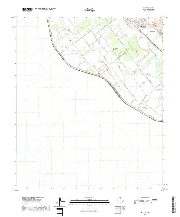 2022 Isla2022 Print · USGSThe international border along the Rio Grande defines this 2020s landscape in El Paso County. Researchers can trace irrigation networks and local heritage sites like La Isla Cem, San Elizario Island, and the Tornillo Spur rail line.
 - 2022 Map of Ysleta, 2022 Print
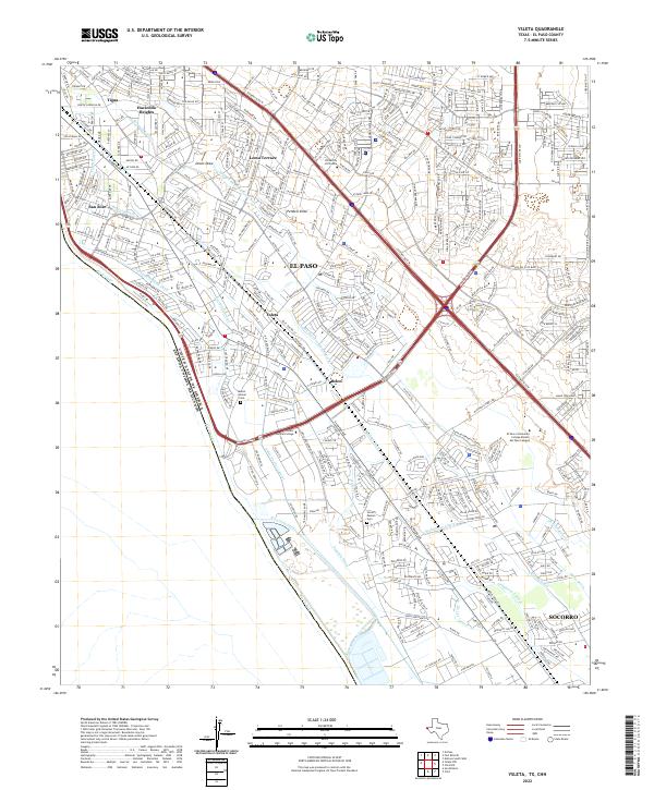 2022 Ysleta2022 Print · USGSSoutheast El Paso and the historic valley communities appear here in the early twenty-first century as the city meets the Mexican border. Researchers can trace the layout of ancestral sites like Ysleta and Socorro alongside landmarks like Mount Carmel Cem.
 - 2022 Map of Smeltertown, 2022 Print
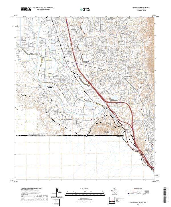 2022 Smeltertown2022 Print · USGSThe high-desert borderlands of West Texas and Southern New Mexico are captured here in the modern era. Researchers can trace the cultural geography of El Paso through landmarks like Smeltertown Cem, The University of Texas at El Paso, and the Rio Grande corridor.
 - 2022 Map of Fort Bliss SE, 2022 Print
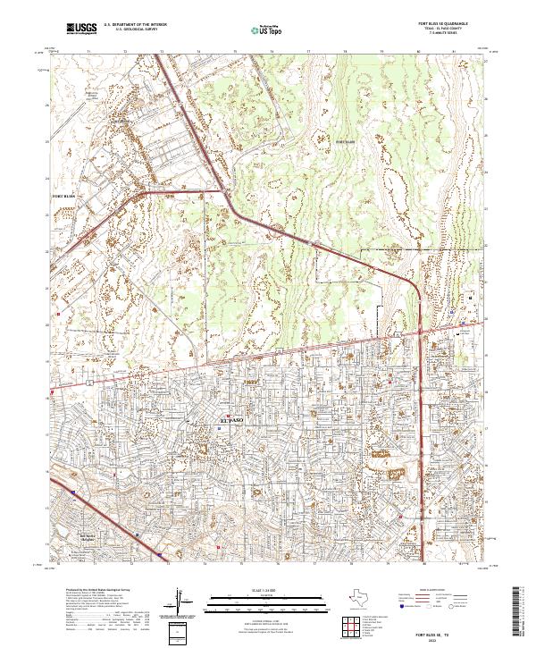 2022 Fort Bliss SE2022 Print · USGSEl Paso and the expansive grounds of the military reservation are shown here in the early twenty-first century. Researchers can trace the development of Fort Bliss and Biggs Army Airfield alongside local landmarks like Evergreen Cem East.
 - 2022 Map of Clint, 2022 Print
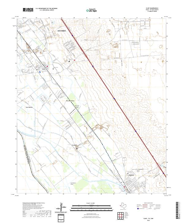 2022 Clint2022 Print · USGSThe El Paso Valley at the start of the 2020s shows a landscape woven with irrigation canals and borderland settlements. Researchers can trace local heritage through sites like Old Clint Cem, San Elizario, and the Lee-Moore-Intercepting-Drain.
 - 2022 Map of Clint NW, 2022 Print
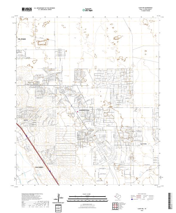 2022 Clint NW2022 Print · USGSEl Paso County's eastern outskirts show rapid suburban growth and desert development in the early 2020s. Researchers can trace the modern layout of Horizon City and Agua Dulce alongside historic canals like the Mesa Spur Drain.
 - 2022 Map of Clint SE, 2022 Print
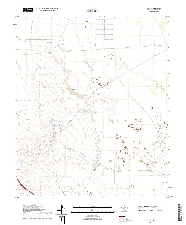 2022 Clint SE2022 Print · USGSNear the turn of the twenty-first century, this high desert region in El Paso County remains defined by ranching life and essential water tanks. Researchers can trace land use patterns through features like Rimrock and Indian Cliffs Ranch Main Lake, or follow the path of San Felipe Arroyo.
 - 2022 Map of Helms West Well, 2022 Print
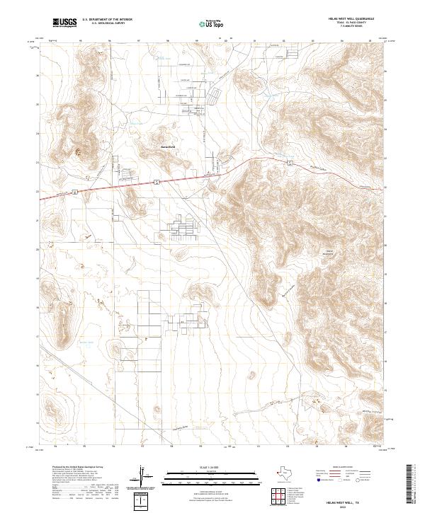 2022 Helms West Well2022 Print · USGSEl Paso County’s high desert landscape comes into focus in this recent survey of the region east of the city. Researchers can trace modern residential grids near Butterfield and Conely alongside traditional water landmarks like Dugout Tank and the canyons of the Hueco Mountains.
 - 2022 Map of Nations South Well, 2022 Print
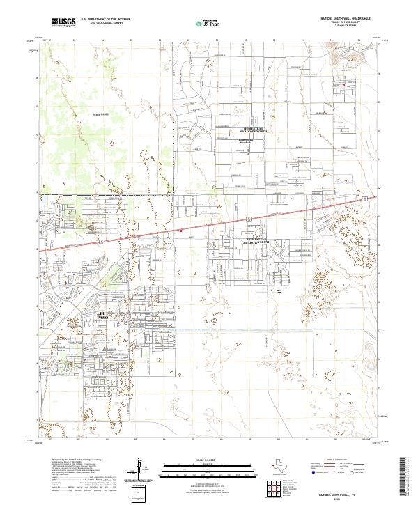 2022 Nations South Well2022 Print · USGSEl Paso County’s eastern edge shows its modern residential footprint in the early 2020s as suburban development meets the desert. Trace the path of the Old Butterfield Trl near newer neighborhoods like Homestead Meadows North.
 - 2022 Map of Nations East Well, 2022 Print
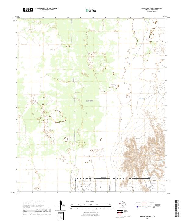 2022 Nations East Well2022 Print · USGSEl Paso County at the start of the 2020s shows the suburban edge meeting the desert hills. Researchers can trace the layout of new residential developments along Remington Rd and locate desert water points like Tiger Tank and San Juan Tank.
 - 2022 Map of Ysleta NW, 2022 Print
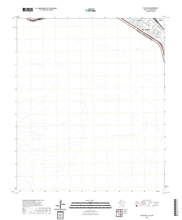 2022 Ysleta NW2022 Print · USGSEl Paso’s southeastern edge meets the Mexican border along the banks of the Rio Grande in the early 2020s. Genealogists and local historians can trace neighborhood growth in Lakeside and Alfalfa or locate specific residences along Alameda Ave and Granite Rd.
Showing maps 1-25 of 40
Top cities of El Paso County
- El Paso historical maps
- Socorro historical maps
- Horizon City historical maps
- San Elizario historical maps
- Fabens historical maps
- Canutillo historical maps
See more
Frequently asked questions
- What are the different types of historical maps available for El Paso County?
- What is the oldest map of El Paso County?
- Where can I purchase historical maps of El Paso County for my home or office?
- Where can I download high-res historical maps of El Paso County?
- Are there historical topographic maps available for El Paso County?
- Is there historical aerial imagery available for El Paso County?
- Where are historical maps of El Paso County sourced from?