2000s (21st Century) Maps of El Paso County, Texas
Explore 160 historic maps of El Paso County from the 2000s (21st Century). These maps offer a rare glimpse into what life looked like during the 2000s — showing old roads, neighborhoods, homes, and landmarks that have changed or disappeared over time.
Whether you're researching your family's past, planning a metal detecting trip, or studying how El Paso County's landscape evolved across the 2000s, these high-resolution maps are a powerful tool for exploring the history of this region.
- Focus on a specific era: All maps on this page are from the 2000s, giving you a focused view of this time period.
- See what’s changed: Compare century-old streets, trails, and buildings to today's modern landscape using overlays and satellite layers.
- Research with precision: Use these maps for genealogy, historical research, land use analysis, or educational projects.
- View, download, or print: Maps are fully viewable online in high resolution, and can be downloaded or printed for your own records.
Start exploring El Paso County's history through authentic maps from the 2000s. This is your window into the past.
El Paso County, TX maps
(160)- 2010 Map of Isla, 2010 Print
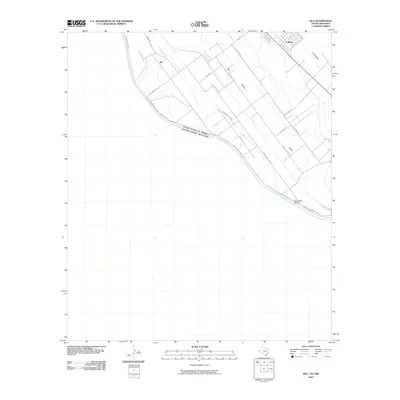 2010 Isla2010 Print · USGSThe international border south of Fabens comes into sharp focus during this period of modern land management. Genealogists and local historians can trace family-named routes and river-valley settlements like Isla, Elizario, and the crossing at Guadalupe Bridge.
 - 2010 Map of Tornillo, 2010 Print
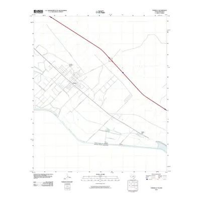 2010 Tornillo2010 Print · USGSEl Paso County agriculture meets the international border in the early twenty-first century, centered on the irrigation-dependent fields of Tornillo. Genealogists and local historians can trace the grid of rural roads and canals connecting Alamo Alto, Iveys Crossing, and the Tornillo Feed Yards Airport.
 - 2010 Map of Clint, 2010 Print
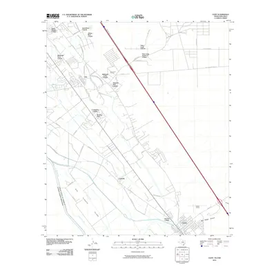 2010 Clint2010 Print · USGSThe Rio Grande valley southeast of El Paso comes into sharp focus during this period of colonia expansion and intensive irrigation. Trace family connections at San Lorenzo Cemetery or explore the layouts of Clint, Cuadrilla, and the agricultural community of Morning Glory.
 - 2010 Map of Padre Canyon, 2010 Print
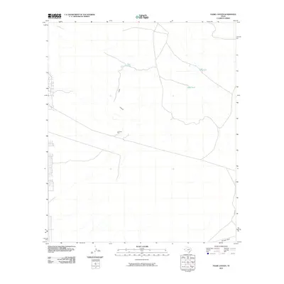 2010 Padre Canyon2010 Print · USGSEl Paso County at the dawn of the 21st century reveals a landscape where ranching heritage meets modern expansion. Researchers can trace the desert's history through water features like Owl Tanks and historical sites such as the Old Padre Mine.
 - 2010 Map of Phone Line Canyon, 2010 Print
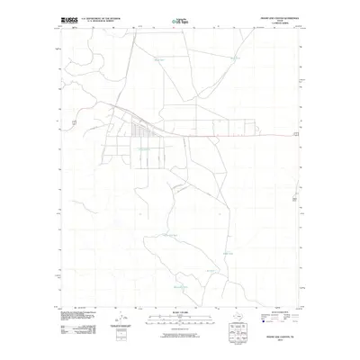 2010 Phone Line Canyon2010 Print · USGSHudspeth County rangeland meets growing residential grids in this 2010 survey of the West Texas desert. Researchers can trace local water infrastructure at Phone Line Tank and Monument Tank or locate property near Republic Blvd and Dagger Camp.
 - 2010 Map of Nations East Well, 2010 Print
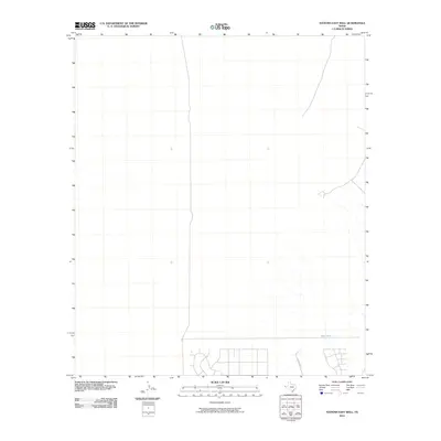 2010 Nations East Well2010 Print · USGSEl Paso County at the start of the 21st century reveals a landscape of desert expansion and water management. Researchers can trace the development of new road networks and locate functional landmarks like East Tank and Buckwheat.
 - 2010 Map of Clint NE, 2010 Print
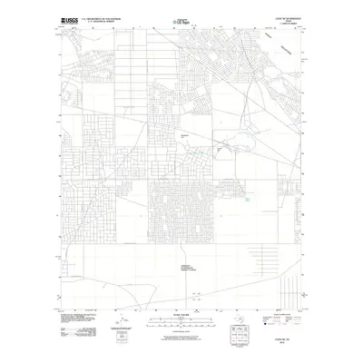 2010 Clint NE2010 Print · USGSEl Paso County's high desert underwent a period of rapid residential platting during the early twenty-first century. Genealogists and historians can trace the grid of Cattleman's North Ranchos Number 3 Colonia near landmarks like Backbone Hill and Skunk Tank.
 - 2010 Map of T P Well, 2010 Print
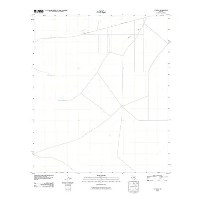 2010 T P Well2010 Print · USGSEl Paso County at the start of the twenty-first century reveals a desert landscape oriented around ranching and infrastructure. Trace the relationship between water and commerce through markers like Cottonwood Lake, Willow Tanks, and the industrial El Paso Jal Pipeline Rd.
 - 2010 Map of Cerro Alto Mountain, 2010 Print
 2010 Cerro Alto Mountain2010 Print · USGSEl Paso County ranching lands and desert peaks are captured here in the early twenty-first century. Researchers can locate remote family landmarks like Helm Cemetery and vital water sources such as Lincoln Tank and Elevenmile Tank.
 - 2010 Map of Helms West Well, 2010 Print
 2010 Helms West Well2010 Print · USGSEl Paso County’s eastern fringes show significant residential expansion at the start of the 21st century as communities grew toward the mountain foothills. Researchers can trace the layout of Butterfield and explore family-named landmarks like Neals Tank or Martin Tank.
 - 2010 Map of Hueco Tanks, 2010 Print
 2010 Hueco Tanks2010 Print · USGSNear the base of the Hueco Mountains in the early 2010s, this area shows a unique mix of modern residential grids and deep frontier history. Local historians can trace the Old Butterfield Trl and Overland Stage Rd alongside landmarks like Ramons Tank.
 - 2010 Map of Clint SE, 2010 Print
 2010 Clint SE2010 Print · USGSEl Paso County ranching and residential colonias are documented here during a period of steady expansion. Genealogists and historians can locate family-named landmarks like Harry Tank, Robberts Dam, and the growing community at Cattleman's North Ranchos Colonia.
 - 2010 Map of Fort Hancock NW, 2010 Print
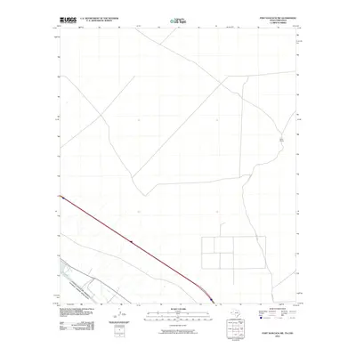 2010 Fort Hancock NW2010 Print · USGSThe West Texas desert meets the Mexican border in the early twenty-first century along the winding Rio Grande. Local researchers can trace the ranching and irrigation history of El Paso County through landmarks like Sand Ranch and the functional Upper Drain.
 - 2010 Map of Nations South Well, 2010 Print
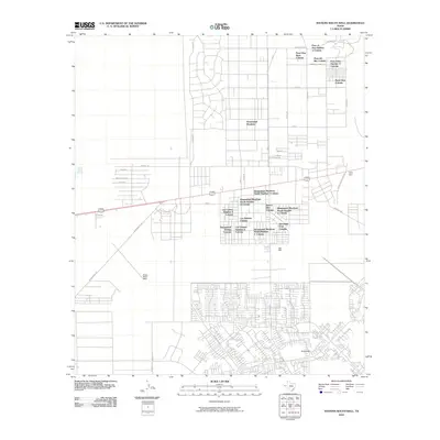 2010 Nations South Well2010 Print · USGSEl Paso County at the dawn of the new millennium shows a rapidly expanding desert landscape shaped by residential colonias. Researchers can trace the development of localized communities like Rockhouse and Homestead Meadows, or locate the vital Hueco Water Wells.
 - 2010 Map of North Franklin Mountain, 2010 Print
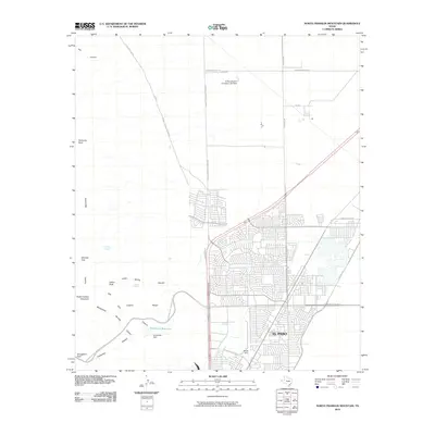 2010 North Franklin Mountain2010 Print · USGSEl Paso at the start of the 2010s shows a modern city expanding into the foothills of the Franklin Mountains. Genealogists and hikers can trace trails through Smugglers Pass and Mundys Gap, or locate infrastructure like the Fusselman Reservoir.
 - 2010 Map of Fort Bliss SE, 2010 Print
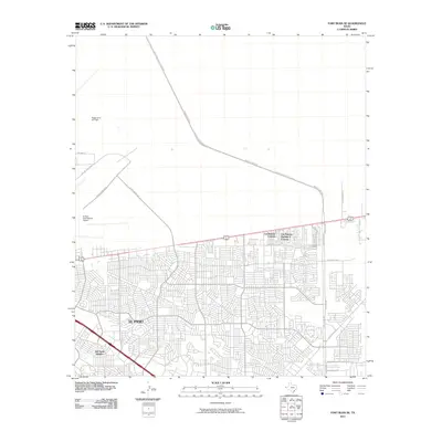 2010 Fort Bliss SE2010 Print · USGSEastern El Paso was undergoing rapid suburban and military expansion during the early twenty-first century. Researchers can trace the development of residential neighborhoods like Del Norte Heights and the infrastructure of Biggs Army Air Field.
 - 2010 Map of Clint NW, 2010 Print
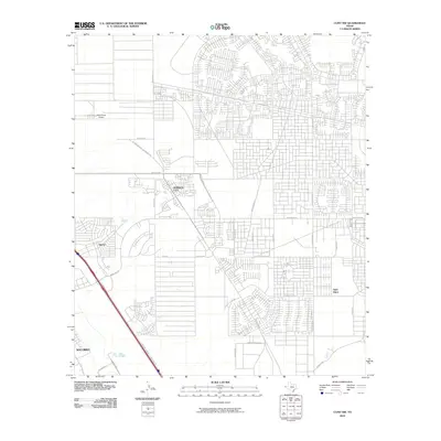 2010 Clint NW2010 Print · USGSEl Paso's eastern suburbs show rapid expansion into the desert in this 2010 survey. Genealogists and researchers can trace the growth of Horizon City, Sparks, and Agua Dulce alongside landmarks like the West Texas Airport.
 - 2010 Map of Fort Bliss NE, 2010 Print
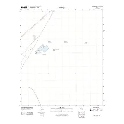 2010 Fort Bliss NE2010 Print · USGSThe northern reaches of El Paso and the community of Newman are captured here at the start of the 2010s. Researchers can trace the development of critical infrastructure like Railroad Dr and the extensive Northeast Oxidation Pond system.
 - 2010 Map of Ysleta, 2010 Print
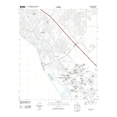 2010 Ysleta2010 Print · USGSEl Paso and Socorro undergo rapid suburban expansion along the border at the start of the decade. Researchers can trace the development of dozens of colonias and historic waterworks like the Riverside Diversion Dam and Ysleta settlement.
 - 2010 Map of Ysleta NW, 2010 Print
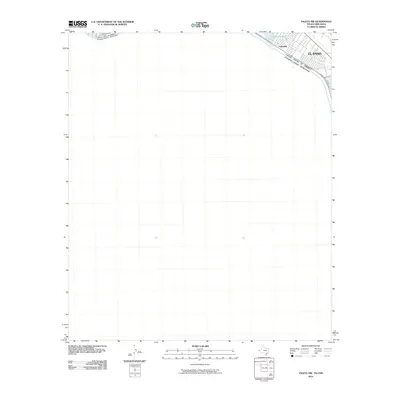 2010 Ysleta NW2010 Print · USGSThe international borderlands along the Rio Grande are documented here in the early twenty-first century. Researchers can trace the development of El Paso neighborhoods near Ascarate Lake and the path of the Border Hwy as it skirts the river bank.
 - 2010 Map of San Elizario, 2010 Print
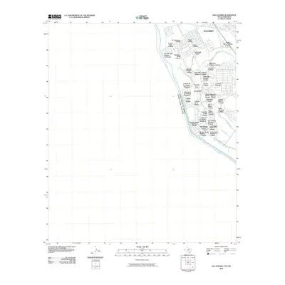 2010 San Elizario2010 Print · USGSThe Texas-Mexico border comes into focus in this 2010 study of the Rio Grande Valley. Genealogists and historians can trace the development of numerous colonias and irrigation works surrounding the San Elizario Historic District, including Socorro and Sierra Meadows Colonia.
 - 2010 Map of El Paso, 2010 Print
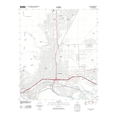 2010 El Paso2010 Print · USGSEl Paso sits at the crossroads of the desert Southwest and the international border during the first decade of the millennium. Researchers can trace historic neighborhoods like the Old San Francisco Historic District or locate family sites near Evergreen Cemetery and Fort Bliss National Cemetery.
 - 2010 Map of Strauss, 2010 Print
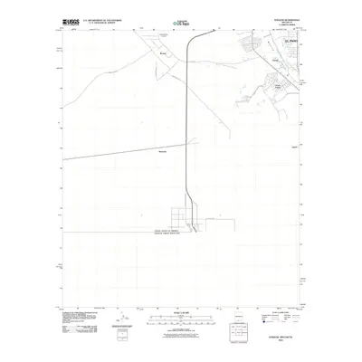 2010 Strauss2010 Print · USGSThe borderlands of New Mexico and Texas meet at the international boundary during the early twenty-first century. Researchers can trace the development of Santa Teresa and the Mesilla Valley irrigation works, alongside desert outposts like Strauss and Mastodon.
 - 2010 Map of Smeltertown, 2010 Print
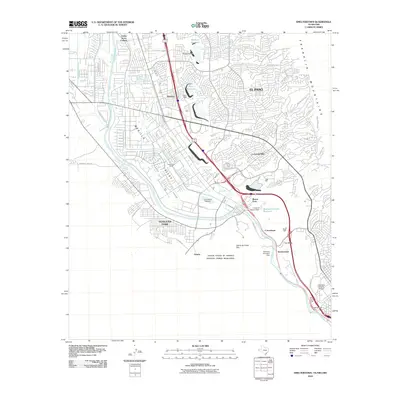 2010 Smeltertown2010 Print · USGSThe Texas-New Mexico borderlands come into focus at the end of the first decade of the 2000s, where the Rio Grande separates international neighbors. Researchers can trace the footprint of Old Fort Bliss, the historic community of Smeltertown, and local landmarks like the Sunland Park Racetrack.
 - 2010 Map of La Union, 2010 Print
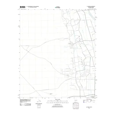 2010 La Union2010 Print · USGSThe Mesilla Valley near the Texas and New Mexico border is shown here in its modern agricultural and transportation context. Genealogists and historians can trace family land along the Rio Grande and identify the specific irrigation networks of the La Union West Lateral or proximity to the Santa Teresa Airport.
Showing maps 1-25 of 160
Top cities of El Paso County
- El Paso historical maps
- Socorro historical maps
- Horizon City historical maps
- San Elizario historical maps
- Fabens historical maps
- Canutillo historical maps
See more
Frequently asked questions
- What are the different types of historical maps available for El Paso County?
- What is the oldest map of El Paso County?
- Where can I purchase historical maps of El Paso County for my home or office?
- Where can I download high-res historical maps of El Paso County?
- Are there historical topographic maps available for El Paso County?
- Is there historical aerial imagery available for El Paso County?
- Where are historical maps of El Paso County sourced from?