2010s Maps of Guadalupe County, Texas
Explore 80 historic maps of Guadalupe County from the 2010s. These maps offer a rare glimpse into what life looked like during the 2010s — showing old roads, neighborhoods, homes, and landmarks that have changed or disappeared over time.
Whether you're researching your family's past, planning a metal detecting trip, or studying how Guadalupe County's landscape evolved across the 2010s, these high-resolution maps are a powerful tool for exploring the history of this region.
- Focus on a specific era: All maps on this page are from the 2010s, giving you a focused view of this time period.
- See what’s changed: Compare century-old streets, trails, and buildings to today's modern landscape using overlays and satellite layers.
- Research with precision: Use these maps for genealogy, historical research, land use analysis, or educational projects.
- View, download, or print: Maps are fully viewable online in high resolution, and can be downloaded or printed for your own records.
Start exploring Guadalupe County's history through authentic maps from the 2010s. This is your window into the past.
Guadalupe County, TX maps
(80)- 2010 Map of Dewville, 2010 Print
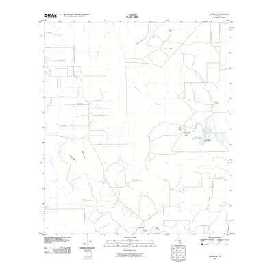 2010 Dewville2010 Print · USGSDewville and its surrounding Gonzales County ranchlands are captured here in the early twenty-first century. Genealogists and local historians can trace family roots through Dewville Cemetery and Sandy Chapel Cemetery or locate long-established holdings like Quien Sabe Ranch.
 - 2010 Map of Seguin, 2010 Print
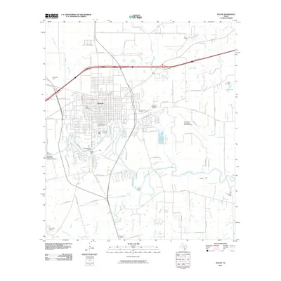 2010 Seguin2010 Print · USGSSeguin and the Guadalupe River valley are captured here in the early twenty-first century, showing the intersection of historic town planning and modern infrastructure. Researchers can locate numerous burial grounds like Riverview Cemetery and aviation landmarks such as the Randolph Air Force Base Auxiliary Airport.
 - 2010 Map of Kingsbury, 2010 Print
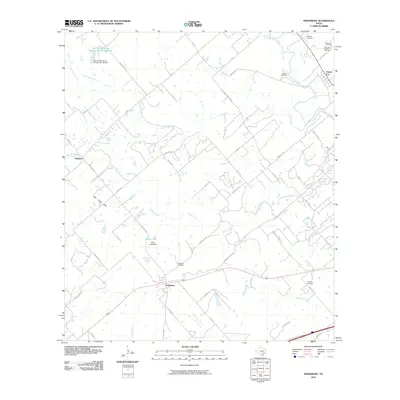 2010 Kingsbury2010 Print · USGSThe rural landscapes between Seguin and Luling appear here in the early twenty-first century, showing a network of ranch roads and creeks. Researchers can locate family burial sites like Appling Cemetery and trace the drainage of Gander Slough and Highsmith Creek.
 - 2010 Map of Martindale, 2010 Print
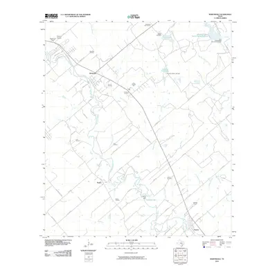 2010 Martindale2010 Print · USGSThe San Marcos River valley in the early twenty-first century reveals a landscape of enduring rural settlements and small family-named cemeteries. Trace local lineage and river geography through Staples Cemetery, Adams Bluff, and Fentress Airpark.
 - 2010 Map of Luling, 2010 Print
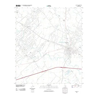 2010 Luling2010 Print · USGSLuling and the surrounding oil fields are shown in detail during the early twenty-first century. Researchers can locate numerous family burial sites like Appling Cemetery and Marines Cemetery or trace the extent of the Luling Oil Field along the San Marcos River.
 - 2010 Map of Thomas Springs, 2010 Print
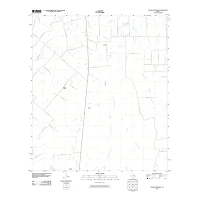 2010 Thomas Springs2010 Print · USGSTexas ranchlands and small communities come into focus in the early twenty-first century. Genealogists and local historians can trace family locations near Jakes Colony, Zion Hill Cemetery, and the Weinert Ranch along the banks of Ecleto Creek.
 - 2010 Map of Darst Creek, 2010 Print
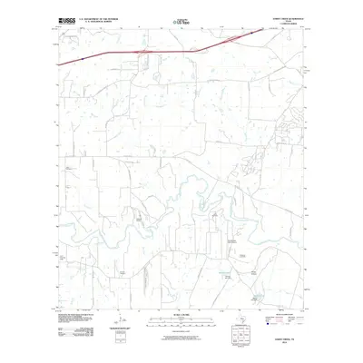 2010 Darst Creek2010 Print · USGSGuadalupe County land divisions and rural settlements are preserved in this early twenty-first-century survey. Researchers can trace family history through sites like Eden Cemetery and Sandy Hollow or locate landmarks such as Lackorn Airport.
 - 2010 Map of Geronimo, 2010 Print
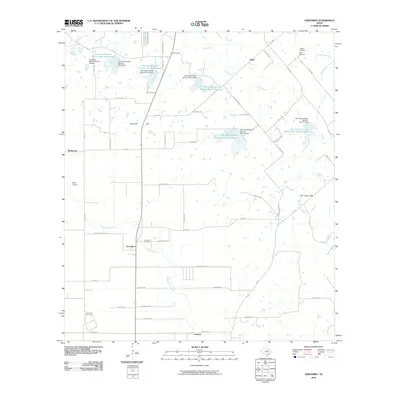 2010 Geronimo2010 Print · USGSGeronimo and the surrounding Guadalupe County countryside are captured here in the early twenty-first century, showing a landscape shaped by rural industry and water management. Researchers can trace family sites like the Jechow Cemetery or locate old community hubs like Barbarosa and Galle.
 - 2010 Map of New Braunfels East, 2010 Print
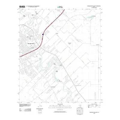 2010 New Braunfels East2010 Print · USGSNew Braunfels and its eastern reaches are captured here as the city expands toward its historic outliers. Genealogists and historians can trace numerous burial sites like Comal Cemetery and explore the heritage of the Gruene Historic District along the river.
 - 2010 Map of Belmont, 2010 Print
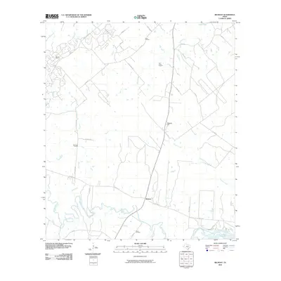 2010 Belmont2010 Print · USGSThe rural landscape of Belmont and the Guadalupe River valley are documented here during the early twenty-first century. Genealogists and local historians can locate family landmarks like Burris Cemetery or trace the extent of the Darst Oil Field.
 - 2010 Map of McQueeney, 2010 Print
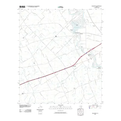 2010 McQueeney2010 Print · USGSThe Guadalupe River corridor in central Texas is captured here during a period of modern residential and recreational growth. Researchers can trace family history at the Santo Tomas Cemetery or locate old community hubs like Hilda Siding and Muehlsville.
 - 2010 Map of Leesville, 2010 Print
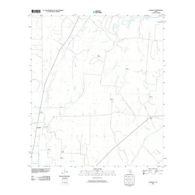 2010 Leesville2010 Print · USGSGonzales County at the start of the 21st century reveals a landscape of dispersed family settlements and winding creek branches. Genealogists can trace local roots through numerous sites including Ellis-Nance Cemetery, Leesville, and Bebe.
 - 2010 Map of San Marcos South, 2010 Print
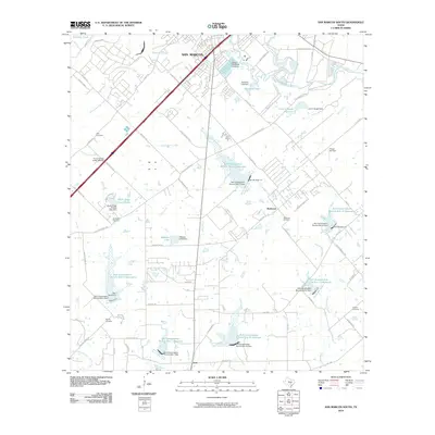 2010 San Marcos South2010 Print · USGSSouth of the San Marcos city center in 2010, the landscape is a mix of expanding retail corridors and rural water management. Researchers can locate family landmarks like Pitts Cemetery and Bading Cemetery or trace the drainage of Cottonwood Creek through numerous conservation reservoirs.
 - 2010 Map of Hunter, 2010 Print
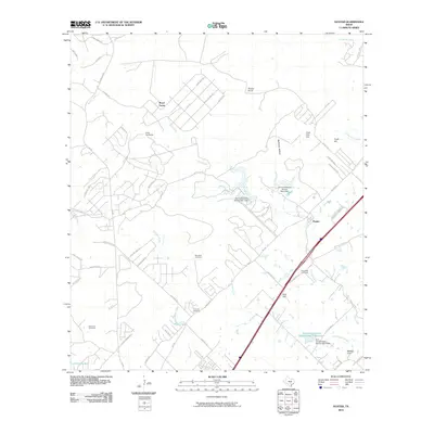 2010 Hunter2010 Print · USGSThe rural landscape between New Braunfels and San Marcos is captured here during a period of modern growth and conservation. Genealogists can locate several historic burial grounds including Rosenthal and Kellerman Cemetery, alongside landmarks like Hunter and Nail Hill.
 - 2010 Map of New Berlin, 2010 Print
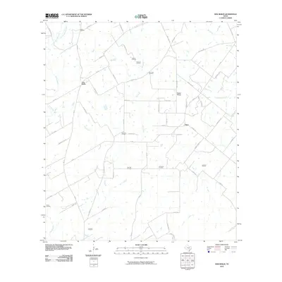 2010 New Berlin2010 Print · USGSThe rural landscape of Guadalupe County is shown here in the early twenty-first century, centered on the community of New Berlin. Genealogists will find an incredible concentration of burial sites to trace, from Linne Cemetery to the uniquely named Concrete Cemetery.
 - 2010 Map of New Braunfels West, 2010 Print
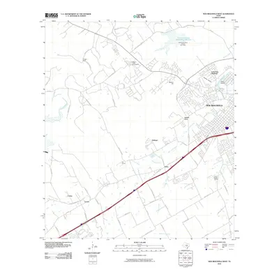 2010 New Braunfels West2010 Print · USGSThe outskirts of New Braunfels and the Comal County landscape are captured here during a period of suburban transition. Local historians can trace the foundations of communities like Solms and Dittlinger or locate family-named landmarks such as Krueger Ranch.
 - 2010 Map of Schertz, 2010 Print
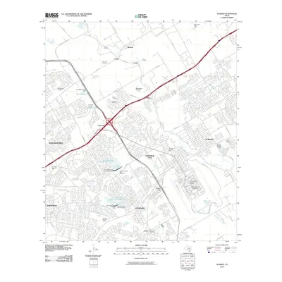 2010 Schertz2010 Print · USGSThe northern suburbs of San Antonio and the strategic military lands of Randolph Air Force Base are captured in this 2010 study. Genealogists and local historians can trace old family burial grounds like Sahm Cemetery and Grote Cemetery or locate landmarks like Comanche Lookout.
 - 2010 Map of Saint Hedwig, 2010 Print
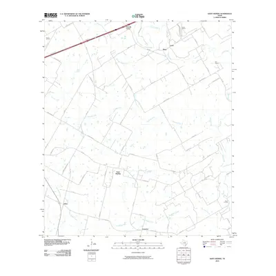 2010 Saint Hedwig2010 Print · USGSBexar County's eastern reaches are shown here in the early twenty-first century as rural communities and aviation hubs expand. Genealogists and local historians can trace family land along Cibolo Creek and locate landmarks like Saint Hedwig and Kempin Cemetery.
 - 2010 Map of La Vernia, 2010 Print
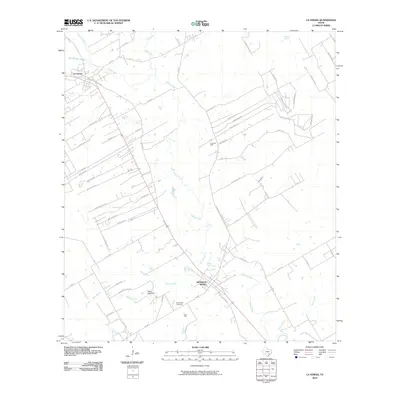 2010 La Vernia2010 Print · USGSWilson County at the start of the 2010s shows a landscape shaped by the waters of Cibolo Creek and the local petroleum industry. Researchers can trace family history at the Sutherland Cemetery or locate the historic water sources of Sulphur Spring and Denning Spring.
 - 2010 Map of Marion, 2010 Print
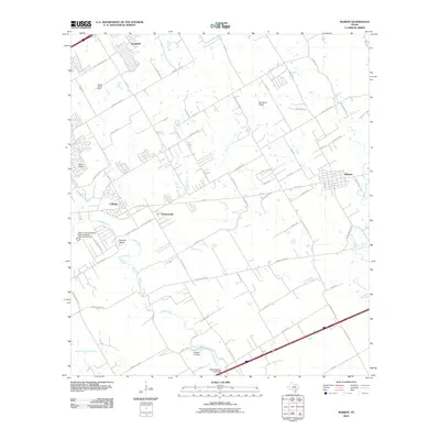 2010 Marion2010 Print · USGSTexas ranching and suburban growth meet in the early twenty-first century as the landscape around Cibolo and Marion undergoes a transformation. Genealogists and local historians can locate Stappers Cemetery or trace landmarks like Haeckerville and the State Highway 3-A Bridge.
 - 2013 Map of Dewville, 2013 Print
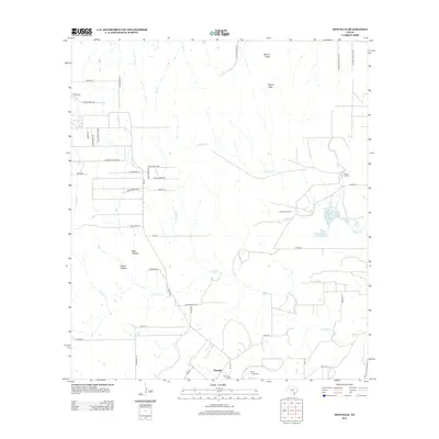 2013 Dewville2013 Print · USGSDewville and the surrounding ranchlands of Gonzales County are captured here in the early twenty-first century. Genealogists and local historians can trace family-named roads and landmarks, from the Dewville Cem and Sandy Chapel Cem to the reaches of Sandies Cr.
 - 2013 Map of Belmont, 2013 Print
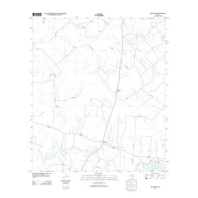 2013 Belmont2013 Print · USGSThis Gonzales County landscape along the Guadalupe River shows the rural character of Texas in the early twenty-first century. Local history researchers can trace several burial sites including Nixon Cem and Saint James Cem, alongside landmarks like Dilworth Spr.
 - 2013 Map of Darst Creek, 2013 Print
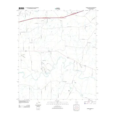 2013 Darst Creek2013 Print · USGSGuadalupe County land is documented here in the early twenty-first century as the river winds past active oil infrastructure and small family tracts. Genealogists and historians can locate Darst Oil Field, Lackorn Airport, and local landmarks like Brenner Cem.
 - 2013 Map of San Marcos South, 2013 Print
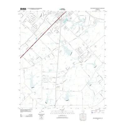 2013 San Marcos South2013 Print · USGSSan Marcos and its southern rural outskirts are shown in the early twenty-first century as modern retail development met traditional farming communities. Researchers can trace local lineage at Bading Cem or Crayton Cem and explore the industrial scale of the Wood State Fish Hatchery.
 - 2013 Map of Seguin, 2013 Print
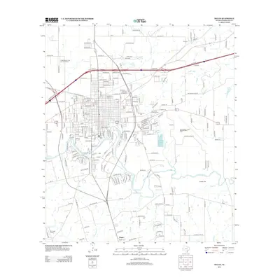 2013 Seguin2013 Print · USGSSeguin and the surrounding Guadalupe County countryside are captured here in the early twenty-first century, showing the town's modern footprint along the river. Genealogists and historians can trace family locations near Riverside Cem, the settlement of Dugger, or the Randolph Air Force Base Auxiliary Field.
Showing maps 1-25 of 80
Top cities of Guadalupe County
- Seguin historical maps
- Cibolo historical maps
- Marion historical maps
- Santa Clara historical maps
- New Berlin historical maps
- Staples historical maps
See more
Frequently asked questions
- What are the different types of historical maps available for Guadalupe County?
- What is the oldest map of Guadalupe County?
- Where can I purchase historical maps of Guadalupe County for my home or office?
- Where can I download high-res historical maps of Guadalupe County?
- Are there historical topographic maps available for Guadalupe County?
- Is there historical aerial imagery available for Guadalupe County?
- Where are historical maps of Guadalupe County sourced from?