2010s Maps of Harrison County, Texas
Explore 100 historic maps of Harrison County from the 2010s. These maps offer a rare glimpse into what life looked like during the 2010s — showing old roads, neighborhoods, homes, and landmarks that have changed or disappeared over time.
Whether you're researching your family's past, planning a metal detecting trip, or studying how Harrison County's landscape evolved across the 2010s, these high-resolution maps are a powerful tool for exploring the history of this region.
- Focus on a specific era: All maps on this page are from the 2010s, giving you a focused view of this time period.
- See what’s changed: Compare century-old streets, trails, and buildings to today's modern landscape using overlays and satellite layers.
- Research with precision: Use these maps for genealogy, historical research, land use analysis, or educational projects.
- View, download, or print: Maps are fully viewable online in high resolution, and can be downloaded or printed for your own records.
Start exploring Harrison County's history through authentic maps from the 2010s. This is your window into the past.
Harrison County, TX maps
(100)- 2010 Map of Stricklin Springs, 2010 Print
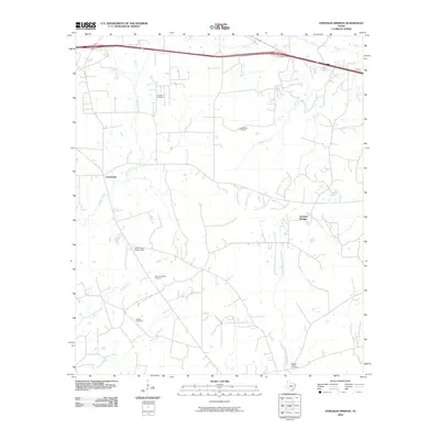 2010 Stricklin Springs2010 Print · USGSHarrison County at the start of the 2010s reveals a quiet landscape of rural settlements and woodland industry. Genealogists and local historians can locate several historic burial sites like Granbury Cemetery and trace the paths of Caddo Creek and the Elysian Gas Field.
 - 2010 Map of Grand Bluff, 2010 Print
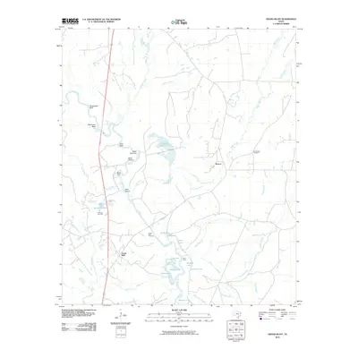 2010 Grand Bluff2010 Print · USGSEast Texas river-bottom life is documented here in the early twenty-first century, centered on the winding Sabine River. Researchers can locate family sites near Grand Bluff Cemetery or trace the geography of the Carthage Gas Field and Kelly Camp.
 - 2010 Map of De Berry, 2010 Print
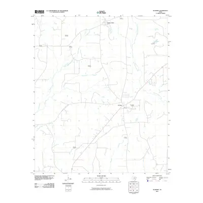 2010 De Berry2010 Print · USGSPanola County in the early twenty-first century reveals a landscape of enduring rural settlements and quiet creek bottoms. Genealogists can trace family heritage through a high density of burial sites including Welaton Cemetery, Lewis Cemetery, and Fourmile Cemetery.
 - 2010 Map of Waskom, 2010 Print
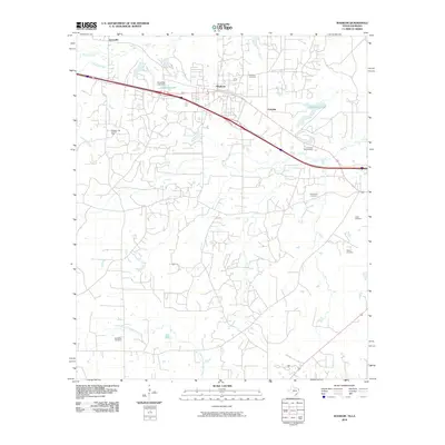 2010 Waskom2010 Print · USGSThe Texas-Louisiana borderlands come into focus in the early 21st century, showing a landscape defined by industry and bayous. Genealogists and historians can locate numerous burial sites like Lester Cemetery or trace the extent of the Waskom Gas and Oil Field.
 - 2010 Map of Lakeport, 2010 Print
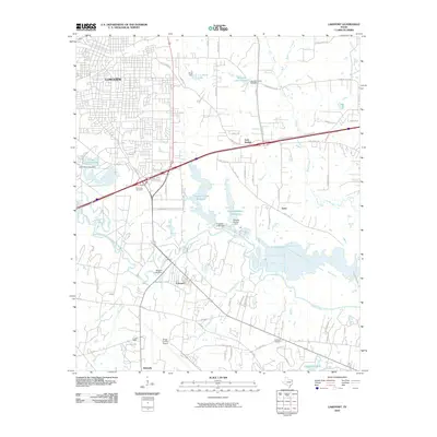 2010 Lakeport2010 Print · USGSLongview and its southeastern suburbs meet the Sabine River at the start of the 2010s, showing a landscape of aviation and infrastructure. Trace family history at Post Oak Cemetery or study the development around Gregg County Airport and Lakeport.
 - 2010 Map of Ore City, 2010 Print
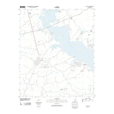 2010 Ore City2010 Print · USGSOre City and the western shores of the Lake O' the Pines are documented here in the early twenty-first century. Researchers can trace local landmarks like Mims Chapel, Hall Airport, and the Lone Star Steel Lake Dam along the water's edge.
 - 2010 Map of Hallsville, 2010 Print
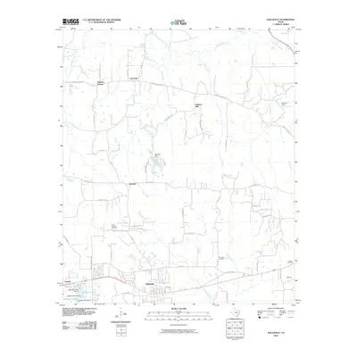 2010 Hallsville2010 Print · USGSHallsville and its surrounding East Texas communities are captured here in the first decade of the millennium. Genealogists and researchers can trace local family landmarks like Springhill Cemetery, Morris Cemetery, and the historic crossroads at Walkers Mill.
 - 2010 Map of Marshall West, 2010 Print
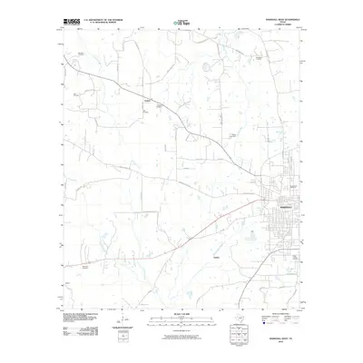 2010 Marshall West2010 Print · USGSHarrison County at the start of the 2010s shows the suburban and rural interface west of the city. Genealogists and local historians can trace family land near Nesbitt, Quiney, and several historic burial grounds like New Zion Cemetery and Tage Cemetery.
 - 2010 Map of Jefferson, 2010 Print
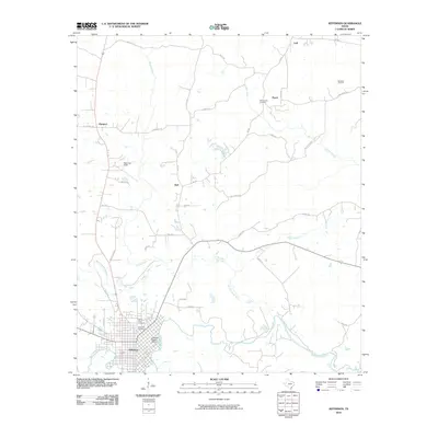 2010 Jefferson2010 Print · USGSJefferson and its surrounding riverlands are captured here during a period of modern rural stability. Researchers can trace local genealogy through the Old Foundry Cemetery, explore the Jefferson Historic District, or locate family-named tracks like Willie Reed Rd.
 - 2010 Map of Marshall NW, 2010 Print
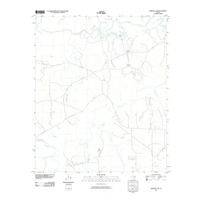 2010 Marshall NW2010 Print · USGSHarrison County in the early twenty-first century remains a landscape of deep bayous and family-named homesteads. Genealogists can trace rural roots at Brantly Cemetery or follow the paths of Little Cypress Bayou and Big Cypress Bayou.
 - 2010 Map of Scottsville, 2010 Print
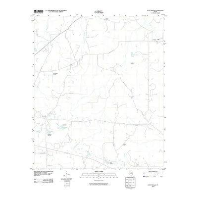 2010 Scottsville2010 Print · USGSHarrison County at the start of the 2010s reveals a landscape of rural settlements and family legacies. Genealogists can trace local history through Antioch Cemetery and Motley Cemetery while locating the Scottsville Oil Field and Karnack Lookout Tower.
 - 2010 Map of Potters Point, 2010 Print
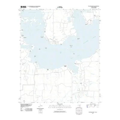 2010 Potters Point2010 Print · USGSCaddo Lake and the cypress-lined waters of the Texas borderlands are captured here in the early twenty-first century. Genealogists and local historians can trace family locations near Uncertain, Swansons Landing, and the old Blocker Cemetery.
 - 2010 Map of Lassater, 2010 Print
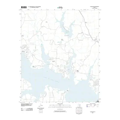 2010 Lassater2010 Print · USGSMarion County's landscape at the dawn of the 21st century is defined by the vast waters of Lake O' the Pines and active energy production. Researchers can trace rural lineages at Pyland Cemetery or explore the geography of the Lassater Gas Field and Victory.
 - 2010 Map of Marshall East, 2010 Print
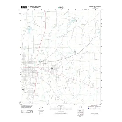 2010 Marshall East2010 Print · USGSThe eastern reaches of Marshall and Harrison County appear here in the early twenty-first century as a landscape of expanding residential neighborhoods and rural cemeteries. Researchers can trace local heritage at Ginocchio Historic District or locate family sites at Greenwood Cemetery and Algoma Cemetery.
 - 2010 Map of Smithland, 2010 Print
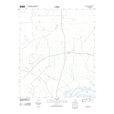 2010 Smithland2010 Print · USGSSmithland and the surrounding Marion County countryside are documented here in the early twenty-first century. Genealogists and local historians can locate several family-named landmarks, such as Judea Cemetery, Douglas Cemetery, and the wetlands of Jenkins Slough.
 - 2010 Map of Woodlawn, 2010 Print
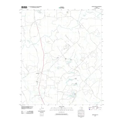 2010 Woodlawn2010 Print · USGSMarion County's bayou country is captured in the early twenty-first century, showing a landscape defined by its timbered watercourses and rural settlements. Researchers can locate family landmarks along Baker Bridge Rd, trace the Woodlawn Oil Field, or find the Woodlawn Cemetery.
 - 2010 Map of Harleton, 2010 Print
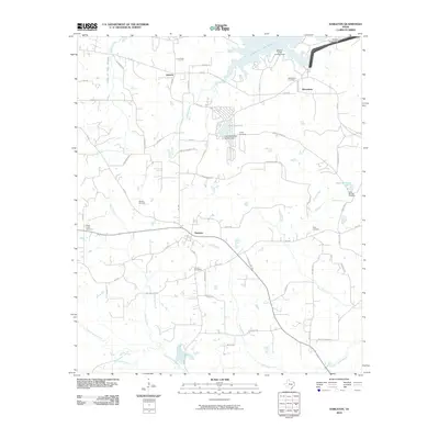 2010 Harleton2010 Print · USGSHarrison County at the start of the 2010s reveals a landscape shaped by water and energy. Genealogists and local historians can trace family locations through numerous sites like Center Cemetery, the rural community of Macedonia, and the Whelan Gas Field.
 - 2010 Map of Latex, 2010 Print
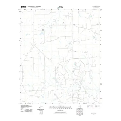 2010 Latex2010 Print · USGSThe Louisiana-Texas borderlands are captured here in the early twenty-first century, showing a landscape of bayous and oil fields. Genealogists can trace family roots at Swanson Cemetery, Dean Cemetery, or the rural settlement of Lotta.
 - 2010 Map of Longview Heights, 2010 Print
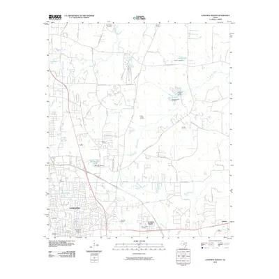 2010 Longview Heights2010 Print · USGSThe northern reaches of Longview and its suburban fringes are captured here in the early twenty-first century. Researchers can trace local lineage through numerous burial grounds like Alpine Cemetery or locate landmarks such as the East Side Airport and Whitehurst Lake.
 - 2010 Map of Harris Chapel, 2010 Print
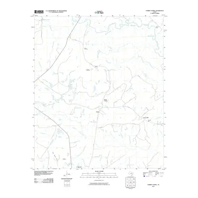 2010 Harris Chapel2010 Print · USGSPanola County, Texas, is captured here in the early twenty-first century as a landscape of river bottoms and rising hills. Researchers can trace family history through Watson Cemetery and Conner Cemetery or locate landmarks like the Beckville Lookout and Harris Chapel.
 - 2010 Map of Easton, 2010 Print
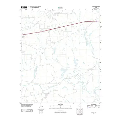 2010 Easton2010 Print · USGSHarrison County at the turn of the decade shows a landscape shaped by the Sabine River and the expanding footprints of Hallsville and Easton. Researchers can trace old family landmarks like Scott Cemetery or the historic path of Camden Shreveport Rd.
 - 2010 Map of Darco, 2010 Print
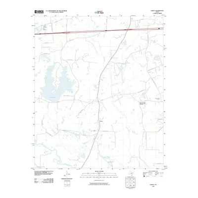 2010 Darco2010 Print · USGSHarrison County at the start of the 2010s reveals a landscape where industrial mining and rural settlements meet along the Sabine River. You can trace local family history and industry through sites like the Darco Mine, Roseborough Cemetery, and Roseborough Springs.
 - 2010 Map of Colliers Creek, 2010 Print
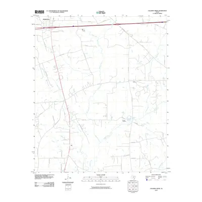 2010 Colliers Creek2010 Print · USGSSoutheast of Marshall in the early twenty-first century, this landscape shows the rural settlement of Gill and the surrounding creek bottoms. Genealogists and historians can trace local family landmarks and burial sites like Blocker Cemetery or the waters of C Ranch Lake.
 - 2010 Map of Ashland, 2010 Print
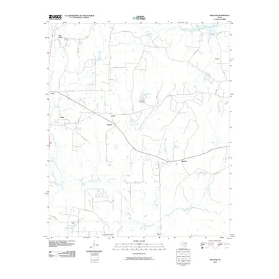 2010 Ashland2010 Print · USGSNortheast Texas at the start of the decade reveals a landscape of quiet rural settlements and winding bayous. Genealogists can trace family roots at Ashland Cemetery, Simmons Cemetery, and Old Diana, or explore the drainages of Little Cypress Bayou.
 - 2010 Map of Karnack, 2010 Print
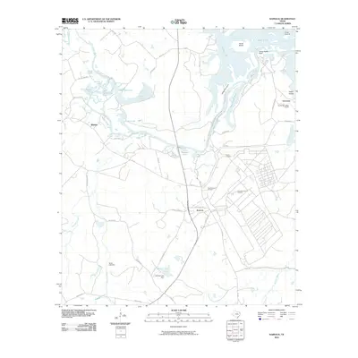 2010 Karnack2010 Print · USGSHarrison County at the turn of the decade shows a landscape defined by the winding waters of Big Cypress Bayou. Genealogists and researchers can trace local landmarks like Yancey Quarters, Hayner Cemetery, and the community of Uncertain.
Showing maps 1-25 of 100
Top cities of Harrison County
- Marshall historical maps
- Hallsville historical maps
- Waskom historical maps
- Scottsville historical maps
- Uncertain historical maps
Frequently asked questions
- What are the different types of historical maps available for Harrison County?
- What is the oldest map of Harrison County?
- Where can I purchase historical maps of Harrison County for my home or office?
- Where can I download high-res historical maps of Harrison County?
- Are there historical topographic maps available for Harrison County?
- Is there historical aerial imagery available for Harrison County?
- Where are historical maps of Harrison County sourced from?