2020s Maps of Reeves County, Texas
Explore 65 historic maps of Reeves County from the 2020s. These maps offer a rare glimpse into what life looked like during the 2020s — showing old roads, neighborhoods, homes, and landmarks that have changed or disappeared over time.
Whether you're researching your family's past, planning a metal detecting trip, or studying how Reeves County's landscape evolved across the 2020s, these high-resolution maps are a powerful tool for exploring the history of this region.
- Focus on a specific era: All maps on this page are from the 2020s, giving you a focused view of this time period.
- See what’s changed: Compare century-old streets, trails, and buildings to today's modern landscape using overlays and satellite layers.
- Research with precision: Use these maps for genealogy, historical research, land use analysis, or educational projects.
- View, download, or print: Maps are fully viewable online in high resolution, and can be downloaded or printed for your own records.
Start exploring Reeves County's history through authentic maps from the 2020s. This is your window into the past.
Reeves County, TX maps
(65)- 2020 Map of Ross Ranch, 2020 Print
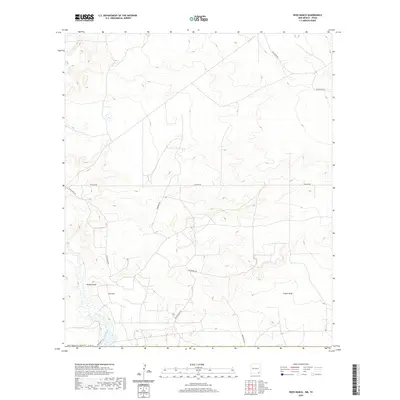 2020 Ross Ranch2020 Print · USGSEddy County ranch lands and energy corridors are captured in this modern survey of the New Mexico borderlands. Researchers can trace land use patterns and utility infrastructure via Ross Ranch, Brushy Draw, and Pipeline Rd.
 - 2020 Map of Red Bluff, 2020 Print
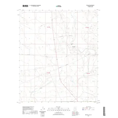 2020 Red Bluff2020 Print · USGSSoutheast New Mexico in the modern era continues to be defined by its major water arteries and remote ranching outposts. Researchers can trace the paths of the Pecos River and Delaware River alongside local landmarks like Red Bluff and Mule Tank.
 - 2022 Map of Deep Well Ranch, 2022 Print
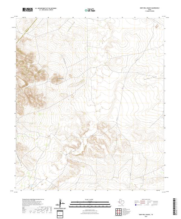 2022 Deep Well Ranch2022 Print · USGSThe West Texas high country at the border of Pecos and Reeves counties is captured here in the early twenty-first century. Researchers can trace the remote path of Hovey Rd and locate landmarks like The Monument or the winding course of Barrilla Draw.
 - 2022 Map of Tucker Hill, 2022 Print
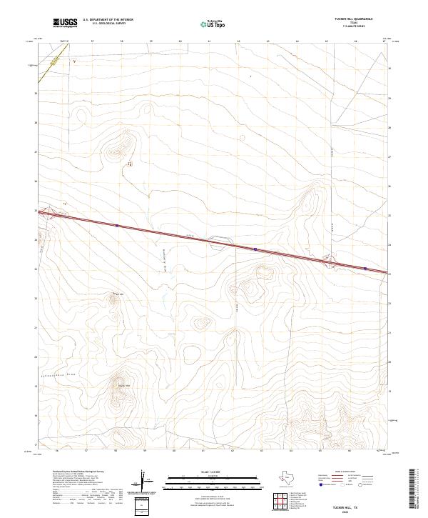 2022 Tucker Hill2022 Print · USGSThe West Texas desert landscape at the border of Pecos and Reeves counties is defined here by its isolated heights and seasonal draws. Genealogists and land researchers can trace family-named landmarks like Tucker Hill, Hayter Hill, and Mendel Rd.
 - 2022 Map of Toyahvale, 2022 Print
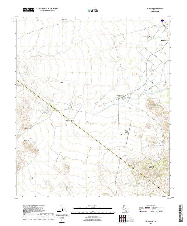 2022 Toyahvale2022 Print · USGSThe desert oases of Reeves County are centered here at the southern edge of the Toyah Basin. Researchers can trace the complex irrigation networks of the Madera Diversion Canal and Main Canal or locate local landmarks like San Solomon Spring and Balmorhea Cem.
 - 2022 Map of Cox Draw, 2022 Print
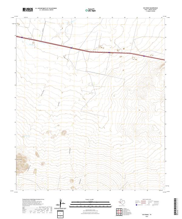 2022 Cox Draw2022 Print · USGSThe West Texas desert landscape of Reeves County is documented here in the early twenty-first century, featuring the complex drainage of the Trans-Pecos. Researchers can trace land features like Elkins Hills and numerous named watercourses such as Cox Draw and Sandia Cr.
 - 2022 Map of Antelope Flat, 2022 Print
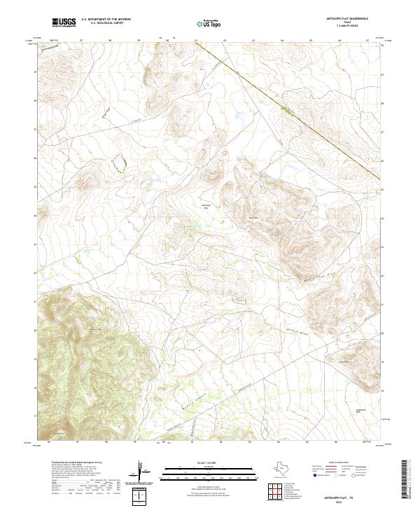 2022 Antelope Flat2022 Print · USGSHigh desert peaks and ranching outposts define this corner of the Davis Mountains in the early twenty-first century. Genealogists and historians can trace local landmarks like Madera Springs Lodge, Kaiser Peak, and the livestock tanks near Antelope Flat.
 - 2022 Map of Barrilla Mountains West, 2022 Print
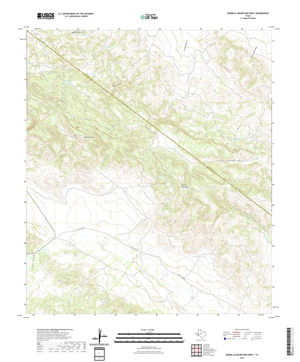 2022 Barrilla Mountains West2022 Print · USGSThe high desert of Jeff Davis County comes into focus in this recent survey, showcasing a landscape defined by mountain peaks and vital water tanks. Researchers can trace the course of Limpia Cr and locate remote features like Needle Point or House Spring.
 - 2022 Map of Big Aguja Mountain, 2022 Print
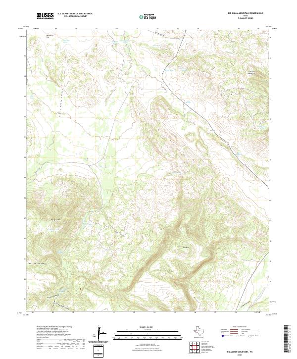 2022 Big Aguja Mountain2022 Print · USGSHigh-altitude ranching and the search for water define this Jeff Davis County landscape in the early 2020s. Researchers can locate remote landmarks like Big Aguja Mtn, Star Mtn, and storied water sources including Old Camp Spring and T and P Lake.
 - 2022 Map of Deep Well Ranch NW, 2022 Print
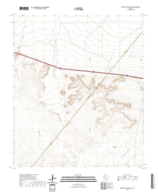 2022 Deep Well Ranch NW2022 Print · USGSThe Reeves and Pecos county line was still a landscape of remote drainages and service roads in the early 2020s. Researchers can trace the winding paths of Lawrence Draw and Schoolhouse Draw alongside modern transit routes like I10 Svc Rd.
 - 2022 Map of Barrilla Mountains East, 2022 Print
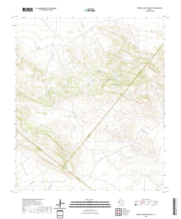 2022 Barrilla Mountains East2022 Print · USGSThe high desert of West Texas in the early 2020s is shown where Reeves, Pecos, and Jeff Davis counties meet. Map collectors and researchers can trace vital water sources like Barrilla Spring and find named landmarks such as Henry Flipper Hill.
 - 2022 Map of Balmorhea, 2022 Print
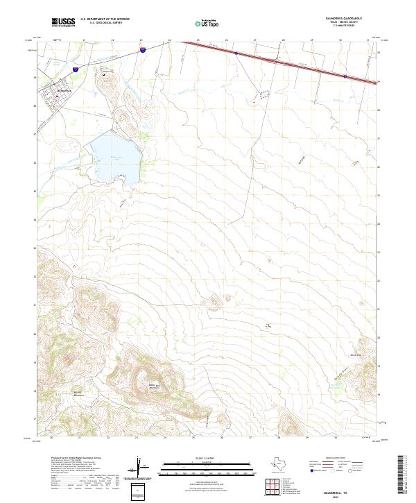 2022 Balmorhea2022 Print · USGSThe desert springs and irrigation canals of Balmorhea are documented here in the early twenty-first century. Researchers can trace the water network from Sandia Springs to Balmorhea Lake, or locate family sites near Brogado Cem and along Railroad Ave.
 - 2022 Map of Burnt Spring Hills SE, 2022 Print
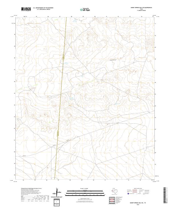 2022 Burnt Spring Hills SE2022 Print · USGSRanching lands along the Culberson and Reeves county line are documented here in the early twenty-first century. Researchers can trace historical water management through features like Hart Draw, Frijol Tank, and North Rock Tank.
 - 2022 Map of Screw Bean Draw East, 2022 Print
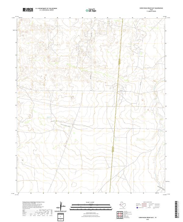 2022 Screw Bean Draw East2022 Print · USGSWest Texas ranching and desert lands are captured here in the early twenty-first century along the Culberson and Reeves county line. Researchers can trace the paths of Screw Bean Draw and find the location of Screw Bean Spring near FM 652.
 - 2022 Map of Derrick Draw, 2022 Print
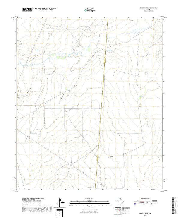 2022 Derrick Draw2022 Print · USGSThe high-desert ranch lands of West Texas are captured here at the county line during the early twenty-first century. Researchers can trace the essential water network of the Trans-Pecos, from natural points like Virginia Springs to Maverick Tank and the path of Derrick Draw.
 - 2022 Map of Dry Lake, 2022 Print
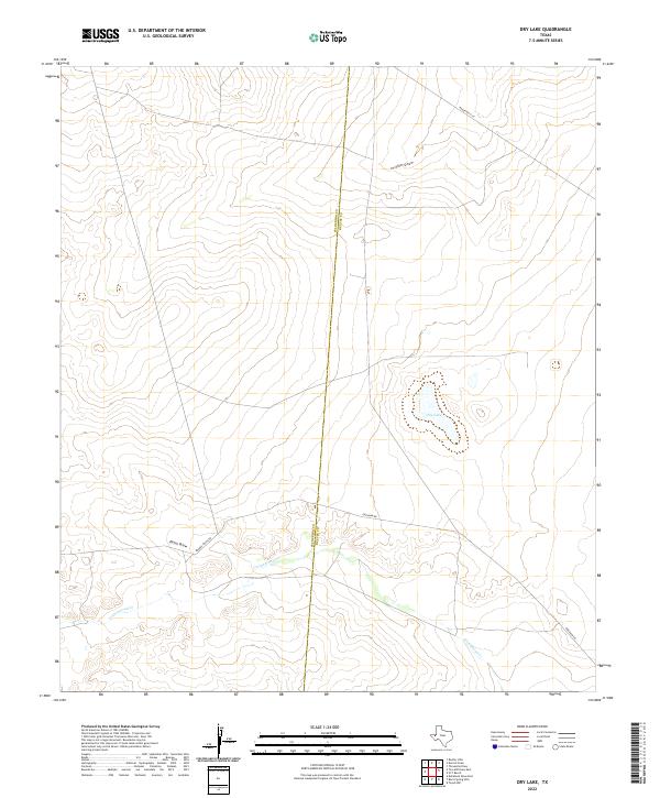 2022 Dry Lake2022 Print · USGSReeves County, Texas, is mapped in the modern era as a landscape of intermittent water and remote ranching roads. Researchers can trace the desert drainage of Cottonwood Cr and locate the distinctive Dry Lake near the junction of Gresham Rd.
 - 2022 Map of Burnt Spring Hills, 2022 Print
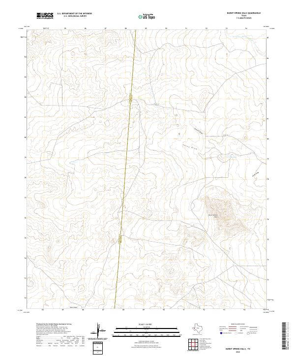 2022 Burnt Spring Hills2022 Print · USGSThe West Texas desert along the Reeves and Culberson county line is documented here in the early twenty-first century. Topographic researchers can trace the arid landscape across Burnt Spring Hills, locating water features like The Seep and Cottonwood Cr.
 - 2022 Map of San Martine, 2022 Print
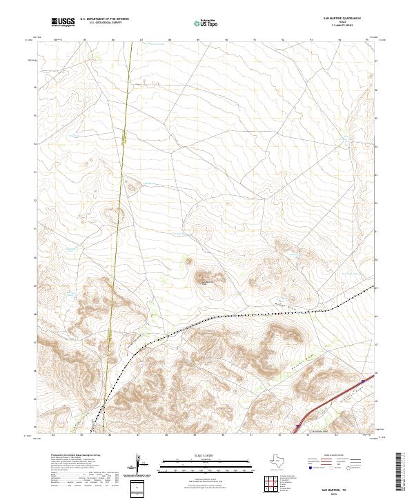 2022 San Martine2022 Print · USGSThe high desert of West Texas near the Culberson and Reeves county line is mapped here in its modern context. Researchers can trace the drainage of the Pecos basin through San Martine Draw and Adobe Draw or locate ranching landmarks like Ice Cream Tank.
 - 2022 Map of Gomez Peak, 2022 Print
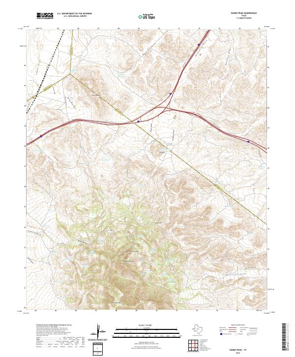 2022 Gomez Peak2022 Print · USGSThe West Texas highlands near the tri-county border appear here in the early twenty-first century, showing a landscape defined by ranching and desert peaks. Researchers can trace remote desert roads and water sources like San Martine Spring, Gomez Peak, and Woulfter Ranch Rd.
 - 2022 Map of Screw Bean Draw NE, 2022 Print
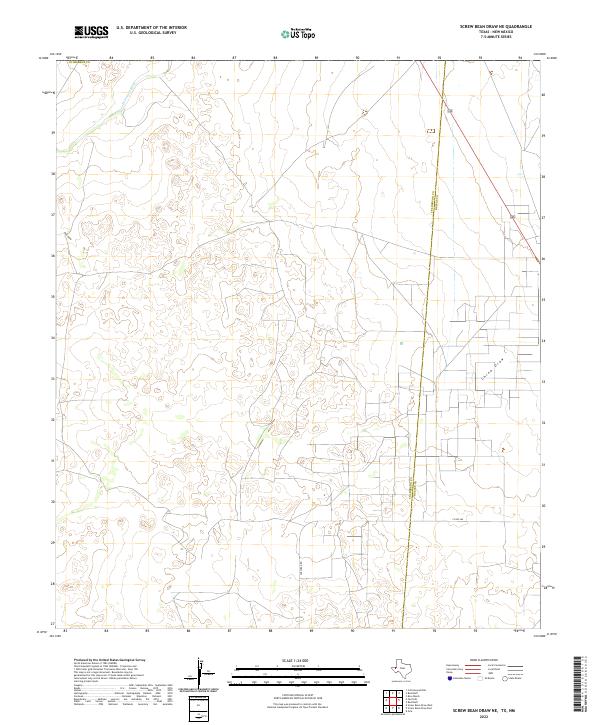 2022 Screw Bean Draw NE2022 Print · USGSCulberson County's desert landscape is captured here in the early twenty-first century, showing the remote borderlands between Texas and New Mexico. Trace the paths of arid waterways like Delaware River and China Draw alongside Carlsbad Rd.
 - 2022 Map of China Lake NE, 2022 Print
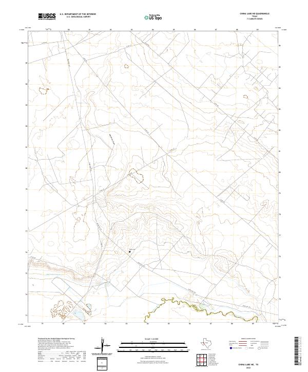 2022 China Lake NE2022 Print · USGSThe arid ranchlands of Ward County are captured here just as the modern era of water management and rural infrastructure continues to shape the basin. Genealogists and local historians can locate the Wilks Cem and trace the path of the Pecos River and Big Valley Canal.
 - 2022 Map of Ligon Ranch, 2022 Print
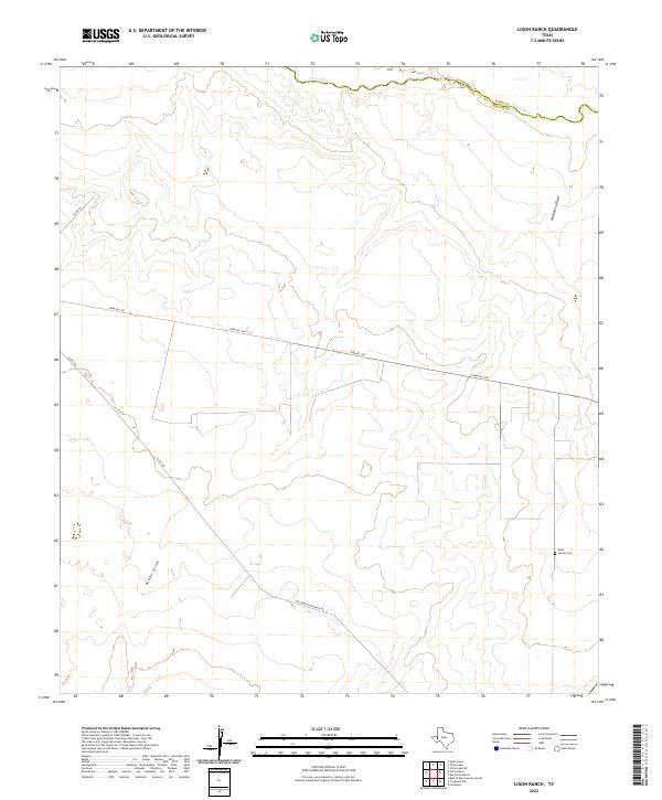 2022 Ligon Ranch2022 Print · USGSThe West Texas ranchlands along the Reeves and Ward County line are captured here as they appeared in the early 2020s. Genealogists and local historians can locate the Boyd Family Cem and trace seasonal waterways like Blake Draw and the Pecos River.
 - 2022 Map of Halamicek Ranch, 2022 Print
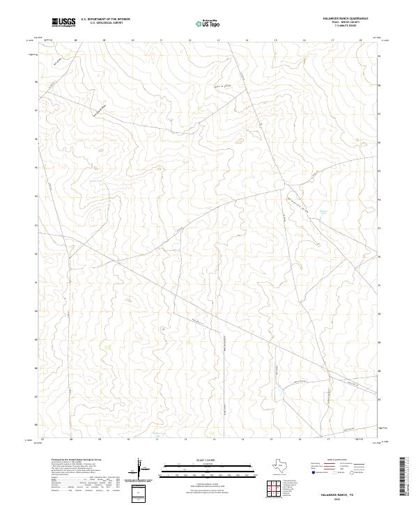 2022 Halamicek Ranch2022 Print · USGSReeves County ranching country is mapped here in the early twenty-first century, showing the essential water and road networks of West Texas. Researchers can trace land use through features like Halamicek Draw, McIlvain Tank, and Ranch Rd 2119.
 - 2022 Map of Saragosa, 2022 Print
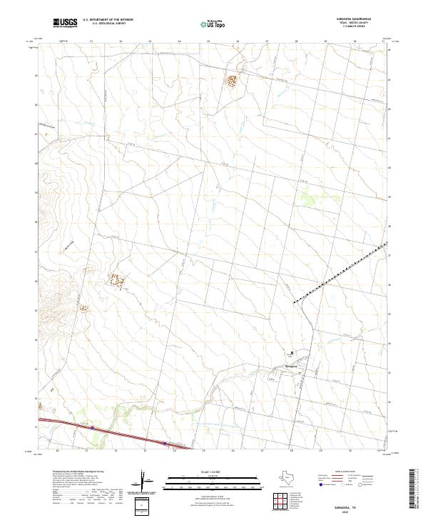 2022 Saragosa2022 Print · USGSReeves County ranchlands and the hub of Saragosa are documented here in the early twenty-first century. Researchers can trace local history through the Saragosa Cem and the path of the Reeves County Water Improvement Canal.
 - 2022 Map of Meier Hills, 2022 Print
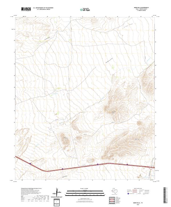 2022 Meier Hills2022 Print · USGSReeves County in the early 2020s remains a landscape defined by its arid geography and sparse desert outposts. Researchers can trace the rugged topography of Meier Hills and Goat Hill or follow the long drainage of Fivemile Draw.
Showing maps 1-25 of 65
Top cities of Reeves County
Frequently asked questions
- What are the different types of historical maps available for Reeves County?
- What is the oldest map of Reeves County?
- Where can I purchase historical maps of Reeves County for my home or office?
- Where can I download high-res historical maps of Reeves County?
- Are there historical topographic maps available for Reeves County?
- Is there historical aerial imagery available for Reeves County?
- Where are historical maps of Reeves County sourced from?