2000s (21st Century) Maps of Reeves County, Texas
Explore 315 historic maps of Reeves County from the 2000s (21st Century). These maps offer a rare glimpse into what life looked like during the 2000s — showing old roads, neighborhoods, homes, and landmarks that have changed or disappeared over time.
Whether you're researching your family's past, planning a metal detecting trip, or studying how Reeves County's landscape evolved across the 2000s, these high-resolution maps are a powerful tool for exploring the history of this region.
- Focus on a specific era: All maps on this page are from the 2000s, giving you a focused view of this time period.
- See what’s changed: Compare century-old streets, trails, and buildings to today's modern landscape using overlays and satellite layers.
- Research with precision: Use these maps for genealogy, historical research, land use analysis, or educational projects.
- View, download, or print: Maps are fully viewable online in high resolution, and can be downloaded or printed for your own records.
Start exploring Reeves County's history through authentic maps from the 2000s. This is your window into the past.
Reeves County, TX maps
(315)- 2010 Map of Coyanosa SW, 2010 Print
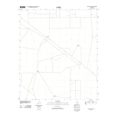 2010 Coyanosa SW2010 Print · USGSThe high desert of Pecos County is captured here in the early twenty-first century, showing a landscape defined by expansive cattle operations and isolated water sources. Researchers can trace the layout of the Mendel Ranch and locate remote landmarks like Ligon Windmill or Beard Windmill.
 - 2010 Map of East of Barrilla Draw North, 2010 Print
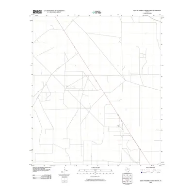 2010 East of Barrilla Draw North2010 Print · USGSReeves County, Texas, was characterized by intensive energy extraction and isolated agriculture during the early twenty-first century. Researchers can trace the industrial layout of the Toro Gas Field and locate rural landmarks like Flat Top Farm.
 - 2010 Map of Barrilla Draw South, 2010 Print
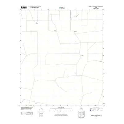 2010 Barrilla Draw South2010 Print · USGSReeves County ranchlands remain largely open and remote in this West Texas survey from the early twenty-first century. Genealogists and historians can trace family-named water sources and landholdings such as Hoefs Ranch, Hugh Moore Windmill, and Orchard Windmill.
 - 2010 Map of Coyanosa NW, 2010 Print
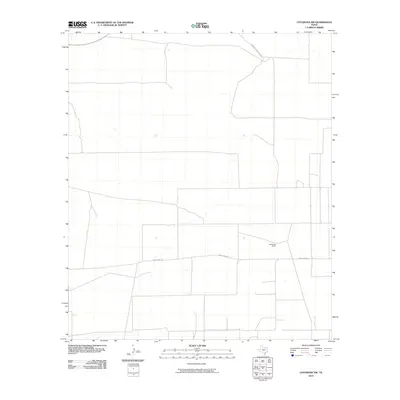 2010 Coyanosa NW2010 Print · USGSTexas ranching culture in the Trans-Pecos is documented here just after the turn of the century. Genealogists and historians can trace family landholdings like Weatherby Ranch and the remote corridors of Holcomb Rape Ranch Rd.
 - 2010 Map of Tucker Hill, 2010 Print
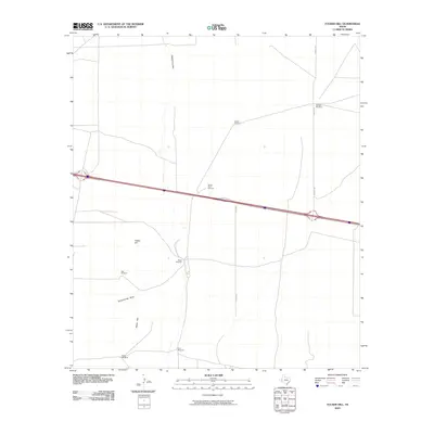 2010 Tucker Hill2010 Print · USGSPecos County's ranching landscape is captured here in the early twenty-first century, showcasing the essential infrastructure of the West Texas plains. Researchers can locate named landmarks including Tucker Hill, Metzger Windmill, and the aptly named Schoolhouse Draw.
 - 2010 Map of Saragosa, 2010 Print
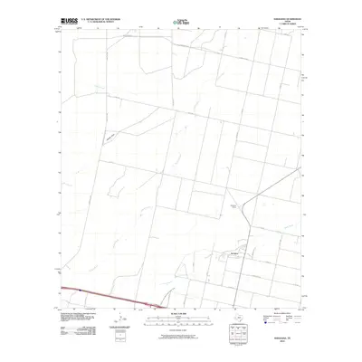 2010 Saragosa2010 Print · USGSReeves County agriculture and transit are on full display in the early twenty-first century as the desert landscape meets local irrigation. Genealogists and historians can trace the streets of Saragosa, the Saragosa Siding rail stop, and the Reeves County Water Improvement Canal.
 - 2010 Map of Verhalen South, 2010 Print
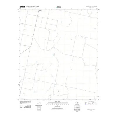 2010 Verhalen South2010 Print · USGSReeves County ranchlands are documented here in the early twenty-first century, showing the settlement at Verhalen and the surrounding desert plains. Researchers can trace the drainage of Toyah Creek and Sandia Creek alongside local routes like Ranch Rd 2448.
 - 2010 Map of North of Tucker Hill, 2010 Print
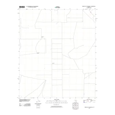 2010 North of Tucker Hill2010 Print · USGSWest Texas ranching country in the early 2000s is defined here by its wide spatial organization and essential water landmarks. Researchers can trace the layout of the Blue Ridge Farm and find isolated points like the McCarmack Windmill and East Sanders Windmill.
 - 2010 Map of Barrilla Draw North, 2010 Print
 2010 Barrilla Draw North2010 Print · USGSReeves County at the start of the 2010s reveals a vast landscape shaped by local watercourses and ranching roads. Researchers can trace the path of Barrilla Draw and follow the routes of Ranch Rd 2007 and Co Rd 112 across this Texas terrain.
 - 2010 Map of Saragosa NW, 2010 Print
 2010 Saragosa NW2010 Print · USGSReeves County at the start of the 2010s shows an organized grid of ranching infrastructure and desert watercourses. Genealogists and historians can trace the local road network via Co Rd 124 and Ranch Rd 2903 near Ninemile Draw.
 - 2010 Map of Verhalen North, 2010 Print
 2010 Verhalen North2010 Print · USGSReeves County at the start of the twenty-first century reveals a landscape of desert ranching and sparse settlements. Researchers can trace the layout of small communities like Verhalen, Hoban, and Collier alongside the natural drainages of Toyah Creek and Cherry Canyon.
 - 2010 Map of Old X Ranch, 2010 Print
 2010 Old X Ranch2010 Print · USGSReeves County ranching and energy operations define this West Texas landscape during the early twenty-first century. Researchers can locate remote outposts like Old X Ranch or trace the industrial footprint of the Worsham Oil Field along Farm Rd 1450.
 - 2010 Map of Anderson Ranch, 2010 Print
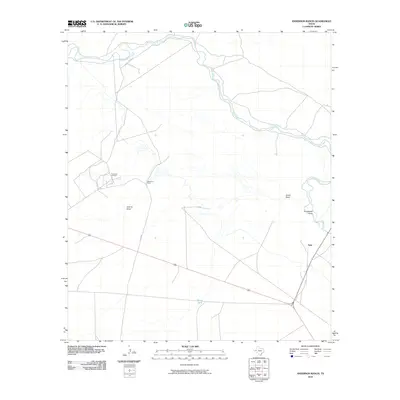 2010 Anderson Ranch2010 Print · USGSThe Pecos River valley of West Texas comes into focus during the early twenty-first century as a landscape of remote ranches and oil production. Trace family land at Anderson Ranch, locate the settlement of Arno, or explore the footprint of the Dixieland Oil Field.
 - 2010 Map of Sand Lake, 2010 Print
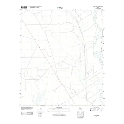 2010 Sand Lake2010 Print · USGSReeves County, Texas, is mapped here in the early twenty-first century as the landscape maintains its rural ranching character. Genealogists and researchers can locate the Lara Cemetery and trace the winding course of the Pecos River.
 - 2010 Map of Quito Draw, 2010 Print
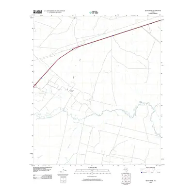 2010 Quito Draw2010 Print · USGSReeves County in the early twenty-first century reveals a landscape where modern industrial infrastructure meets ancient desert waterways. Trace the winding Pecos River near the Scott Delaware Oil Field and the topographic prominence of Hays Hill.
 - 2010 Map of Hermosa, 2010 Print
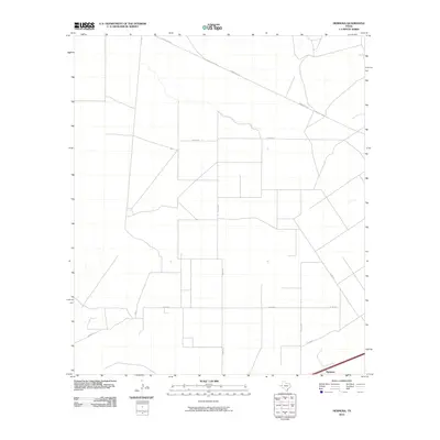 2010 Hermosa2010 Print · USGSReeves County ranching country is documented here during the early twenty-first century, showing the enduring grid of West Texas road networks. Researchers can trace the path of Ranch Rd 2119 and the small settlement of Hermosa near the junction of Co Rd 411.
 - 2010 Map of Mentone, 2010 Print
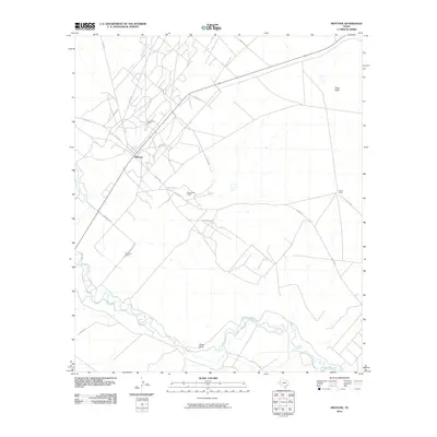 2010 Mentone2010 Print · USGSMentone and the surrounding West Texas plains are captured here in the early twenty-first century as the energy sector and ranching define the local economy. Researchers can trace land use and rural infrastructure through named sites like Wheat Ranch, Texas Bend, and the Wheat Oil Field.
 - 2010 Map of San Martine, 2010 Print
 2010 San Martine2010 Print · USGSReeves County ranching culture is on full display in the early twenty-first century, centered on the settlement of San Martine. Trace the vital network of desert water sources and landmarks including Seven Heart Crossing, T Diamond Ranch, and Gun Barrel Windmill.
 - 2010 Map of Meier Hills, 2010 Print
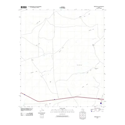 2010 Meier Hills2010 Print · USGSReeves County rangeland is captured here in the early 21st century, showing a landscape defined by livestock water and arid drainage. Researchers can trace the legacy of ranching through landmarks like Cowan Springs, Florenzo Windmill, and the prominent Meier Hills.
 - 2010 Map of Florenzo Hill, 2010 Print
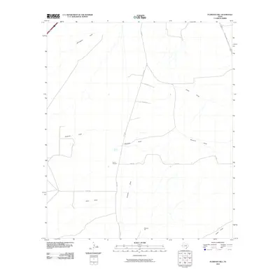 2010 Florenzo Hill2010 Print · USGSReeves County at the start of the 2010s reveals a sparse ranching and energy landscape centered on the rise of Florenzo Hill. Researchers can trace old water sources and industrial routes like Ninemile Spring, Sparks Windmill, and Oil Field Rd.
 - 2010 Map of Gozar, 2010 Print
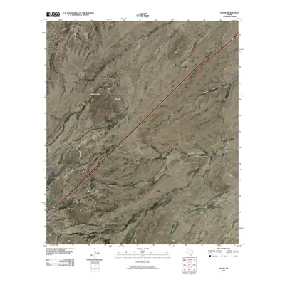 2010 Gozar2010 Print · USGSReeves County ranching country and the Interstate 10 corridor are shown here in the early twenty-first century. Researchers can trace the layout of rural landmarks like Old House Place, Ramsey Tank, and the uniquely named Three Inch Windmill.
 - 2010 Map of Gomez Peak, 2010 Print
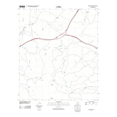 2010 Gomez Peak2010 Print · USGSThe ranching country of West Texas is documented here in the decade before 2010, showing the high desert basins and peaks of Culberson County. Genealogists and researchers can trace family-named lands like Cowden Ranch, the Cowan Homestead, and Woulfter Ranch.
 - 2010 Map of Pecos West, 2010 Print
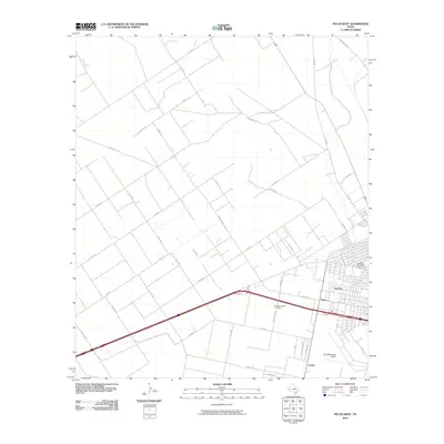 2010 Pecos West2010 Print · USGSReeves County at the start of the 2010s shows the city of Pecos expanding westward into the high desert. Genealogists and local historians can trace family plots at Fairview Cemetery or locate the outskirts near Pecos Municipal Airport and Mann.
 - 2010 Map of Mentone SW, 2010 Print
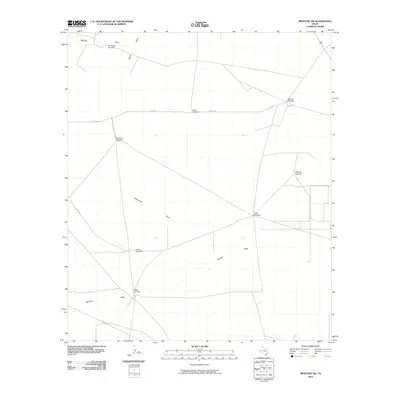 2010 Mentone SW2010 Print · USGSReeves County ranching territory is revealed in this early 21st-century survey of the arid West Texas plains. Researchers can locate named landmarks like Simmons Windmill, Eightfoot Windmill, and McIlvain Draw to trace old property lines and water rights.
 - 2010 Map of China Lake, 2010 Print
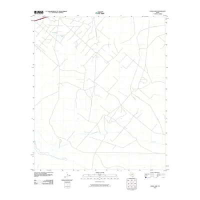 2010 China Lake2010 Print · USGSReeves County, Texas, was a landscape of remote ranchlands and critical water management at the start of the 21st century. Researchers can trace the path of the Pecos River or locate local landmarks like China Lake and the Big Valley Canal.
Showing maps 1-25 of 315
Top cities of Reeves County
Frequently asked questions
- What are the different types of historical maps available for Reeves County?
- What is the oldest map of Reeves County?
- Where can I purchase historical maps of Reeves County for my home or office?
- Where can I download high-res historical maps of Reeves County?
- Are there historical topographic maps available for Reeves County?
- Is there historical aerial imagery available for Reeves County?
- Where are historical maps of Reeves County sourced from?