2000s (21st Century) Maps of Roberts County, Texas
Explore 125 historic maps of Roberts County from the 2000s (21st Century). These maps offer a rare glimpse into what life looked like during the 2000s — showing old roads, neighborhoods, homes, and landmarks that have changed or disappeared over time.
Whether you're researching your family's past, planning a metal detecting trip, or studying how Roberts County's landscape evolved across the 2000s, these high-resolution maps are a powerful tool for exploring the history of this region.
- Focus on a specific era: All maps on this page are from the 2000s, giving you a focused view of this time period.
- See what’s changed: Compare century-old streets, trails, and buildings to today's modern landscape using overlays and satellite layers.
- Research with precision: Use these maps for genealogy, historical research, land use analysis, or educational projects.
- View, download, or print: Maps are fully viewable online in high resolution, and can be downloaded or printed for your own records.
Start exploring Roberts County's history through authentic maps from the 2000s. This is your window into the past.
Roberts County, TX maps
(125)- 2010 Map of Pampa NW, 2010 Print
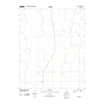 2010 Pampa NW2010 Print · USGSRoberts County ranching country is captured here in the early twenty-first century, centered on the crossroads of Wayside. Genealogists and historians can trace old property boundaries and routes like Mail Route Rd, Morrison Ranch Rd, and the headwaters of Tallahone Creek.
 - 2010 Map of East Dry Creek, 2010 Print
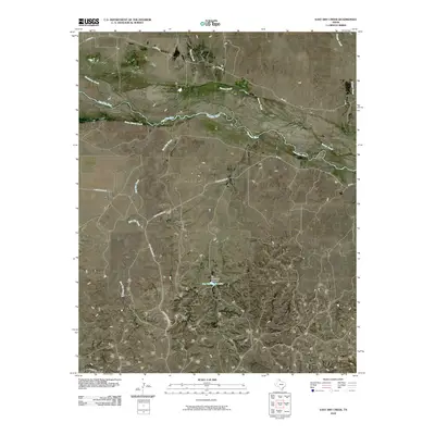 2010 East Dry Creek2010 Print · USGSRoberts County ranching country and the wide, braided valley of the Canadian River are captured here in the early twenty-first century. Genealogists and local historians can trace family land access via Quarter Horse Rd and locate the Jim Waterfield Lake reservoir.
 - 2010 Map of Dry Creek NE, 2010 Print
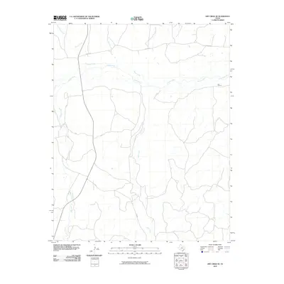 2010 Dry Creek NE2010 Print · USGSThe Texas Panhandle reveals its ranching character in Roberts County during the early 21st century. Researchers can trace the winding course of the Canadian River and locate the distinctive Red Windmill near the seasonal flows of Indian Creek and Chicken Creek.
 - 2010 Map of Lora, 2010 Print
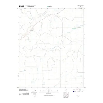 2010 Lora2010 Print · USGSRoberts County at the start of the 2010s shows a landscape defined by the Washita River and critical water management infrastructure. Researchers can locate the Miami-Roberts County Airport and trace rural land use through features like the Soil Conservation Service Site 1 Reservoir and Gill Lake.
 - 2010 Map of Garden Springs, 2010 Print
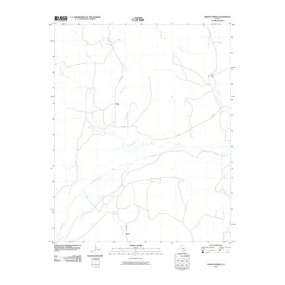 2010 Garden Springs2010 Print · USGSThe ranchlands of Hutchinson County are mapped here in the early 2000s, centered on the Canadian River corridor. Researchers can trace local landmarks like Garden Springs, Morrison Ranch, and the remote Pats Creek Camp.
 - 2010 Map of Dry Creek North, 2010 Print
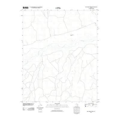 2010 Dry Creek North2010 Print · USGSRoberts County ranchlands are documented here in the early twenty-first century as they surround the wide valley of the Canadian River. Genealogists and local historians can trace rural access routes like Reynolds Ranch Rd and landmarks such as Government Canyon.
 - 2010 Map of Horse Creek South, 2010 Print
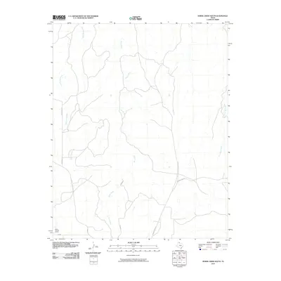 2010 Horse Creek South2010 Print · USGSTexas Panhandle ranching country is documented here in the early twenty-first century, showing the essential water and road networks. Trace the paths of Three Corrals Creek and Home Ranch Creek or locate the Willis N Clark Airport.
 - 2010 Map of Dry Creek South, 2010 Print
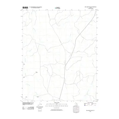 2010 Dry Creek South2010 Print · USGSRoberts County ranching country is documented here during the early twenty-first century. Researchers can trace the essential water infrastructure of the plains via Tree Windmill, Lake Theis Windmill, and Catfish Rd.
 - 2010 Map of Barton Creek, 2010 Print
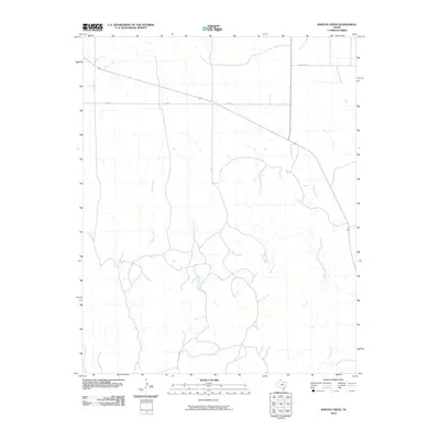 2010 Barton Creek2010 Print · USGSThe Texas Panhandle's ranching country is captured here in the early twenty-first century, showing the rural landscape of Lipscomb County. Researchers can trace the drainage of Barton Creek and Morgan Creek or locate the settlement area of Locust Grove.
 - 2010 Map of Horse Creek North, 2010 Print
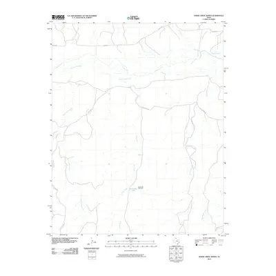 2010 Horse Creek North2010 Print · USGSRoberts County ranch lands are documented here in the first decade of the new millennium as the Canadian River carves through the Panhandle. Researchers can trace the waterways of McMordie Lake and family-named features like Pickett Ranch Creek and Home Ranch Creek.
 - 2010 Map of Hoover, 2010 Print
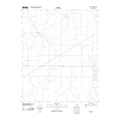 2010 Hoover2010 Print · USGSThe Texas Panhandle's open plains are documented at the start of the twenty-first century, centered on the settlements of Heaton and Hoover. Genealogists and local historians can trace the paths of Red Deer Creek and Thut Creek alongside ranch roads and county lines.
 - 2010 Map of Dry Creek SE, 2010 Print
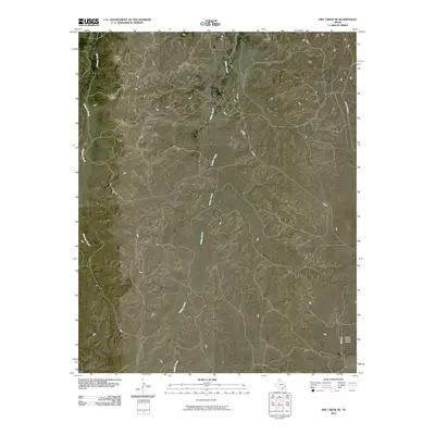 2010 Dry Creek SE2010 Print · USGSRoberts County ranchlands are captured here in the early 2000s, showing a landscape defined by seasonal watercourses and private infrastructure. Researchers can trace the paths of Chicken Creek and Indian Creek or locate the Willis N Clark Airport near Clark Rd.
 - 2010 Map of Laketon, 2010 Print
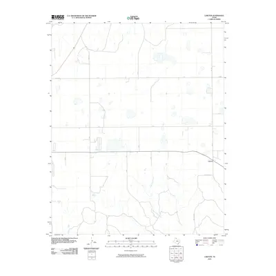 2010 Laketon2010 Print · USGSThe Texas Panhandle in the early twenty-first century is defined by the vast agricultural grid surrounding Laketon. Genealogists and land researchers can trace property boundaries and rural homesteads along Gray 8 Rd and the banks of Cantonment Creek.
 - 2010 Map of Miami, 2010 Print
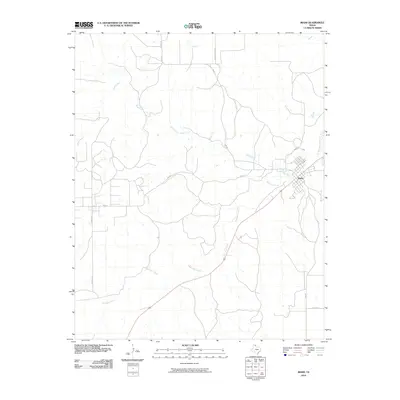 2010 Miami2010 Print · USGSMiami and the surrounding Roberts County ranch lands are documented here during the early 2000s. Researchers can trace the development of the town grid near Red Deer Creek and follow rural routes like Rankin Rd and Fm 282.
 - 2010 Map of Sourdough Creek SW, 2010 Print
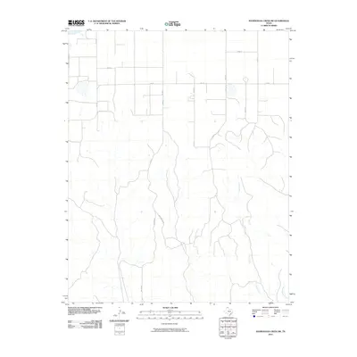 2010 Sourdough Creek SW2010 Print · USGSIn the northern Texas Panhandle during the early 2000s, this landscape shows the intersection of deep-cut drainage and a rigid rural road grid. Researchers can trace the winding paths of Jocks Creek and West Dugout Creek alongside family-named routes like McGarraugh Rd.
 - 2010 Map of Pampa NE, 2010 Print
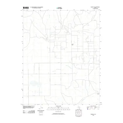 2010 Pampa NE2010 Print · USGSRoberts County in the early twenty-first century remains a landscape of ranching and energy production. Researchers can trace family-named routes like Turkey Track Rd and Bean RD or locate the site of the Quinpono Gas and Oil Field.
 - 2010 Map of Sourdough Creek, 2010 Print
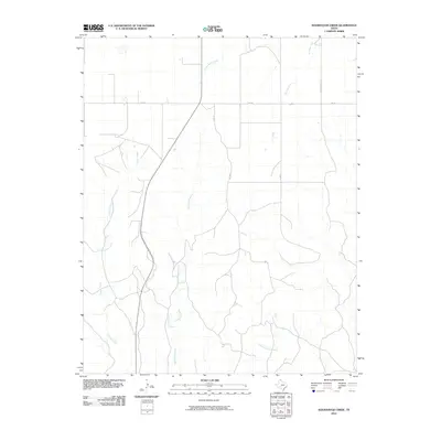 2010 Sourdough Creek2010 Print · USGSThe Texas Panhandle's ranching country is mapped here at the turn of the decade, showing the intricate drainage basins of the High Plains. Researchers can trace land access along Leslie Ranch Rd and the courses of Sourdough Creek and Picketts Ranch Creek.
 - 2010 Map of Pampa, 2010 Print
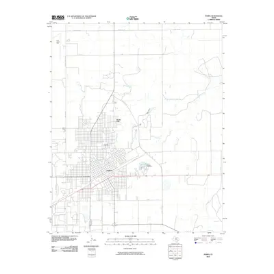 2010 Pampa2010 Print · USGSGray County settlement and infrastructure are at the forefront in this 2010 study of the Texas Panhandle. Genealogists and local historians can trace the urban growth of Pampa and locate specific sites like Fairview Cemetery and Perry Lefors Field.
 - 2010 Map of Lake McConnell, 2010 Print
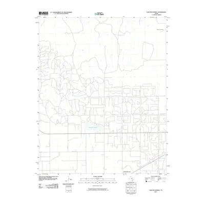 2010 Lake McConnell2010 Print · USGSIn the Texas Panhandle during the early twenty-first century, this Gray County landscape reveals a mix of aviation and rural industry. Researchers can trace the layout of Kingsmill Camp, identify the airfield at Perry Lefors Field, and locate Lake McConnell.
 - 2010 Map of Skellytown NE, 2010 Print
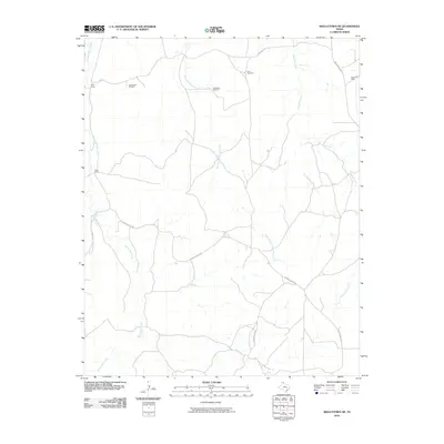 2010 Skellytown NE2010 Print · USGSHutchinson County ranchlands are captured here in the early twenty-first century, showing a landscape defined by cattle operations and seasonal watercourses. Genealogists and historians can locate family landmarks like Price Ranch and West Camp or trace the winding path of White Deer Creek.
 - 2010 Map of Totty School, 2010 Print
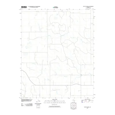 2010 Totty School2010 Print · USGSGray County ranch lands are captured here in the early twenty-first century, showing a landscape defined by seasonal creek beds and rural school sites. Trace the drainage of Sweetwater Creek and Cowboy Creek or locate the historic Totty School.
 - 2010 Map of Washburn Arroyo, 2010 Print
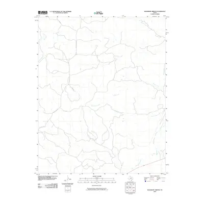 2010 Washburn Arroyo2010 Print · USGSThe Texas Panhandle's ranching country is documented here in the early 2000s, showing a landscape defined by the drainage of Red Deer Creek. Genealogists and historians can trace local land access through routes like Quarter Horse Rd and Lister Rd.
 - 2010 Map of Spearman SE, 2010 Print
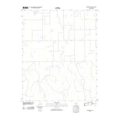 2010 Spearman SE2010 Print · USGSHutchinson County at the turn of the decade showcases the grid-like expansion of Texas Panhandle ranching and transport. Researchers can trace local drainage patterns along Pats Creek and follow early road corridors like Brainard Rd and Fm 281.
 - 2010 Map of Adobe Creek SE, 2010 Print
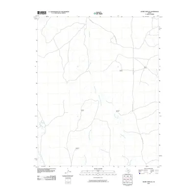 2010 Adobe Creek SE2010 Print · USGSHutchinson County ranching lands are captured here in the early twenty-first century as part of the Adobe Creek SE quadrangle. Researchers can locate specific pastoral landmarks like Morrison Ranch and several named water points including Cake House Windmill and North Camp Windmill.
 - 2010 Map of Pickett Ranch Creek, 2010 Print
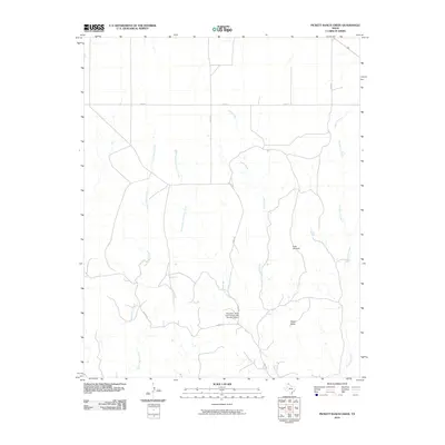 2010 Pickett Ranch Creek2010 Print · USGSThe High Plains of Ochiltree County are captured in this 2010 survey, showcasing the essential water sources and ranch roads of the Texas Panhandle. Researchers can locate remote landmarks like Point Windmill, the Tandy Mesa, and the Pickett Ranch Creek.
Showing maps 1-25 of 125
Top cities of Roberts County
Frequently asked questions
- What are the different types of historical maps available for Roberts County?
- What is the oldest map of Roberts County?
- Where can I purchase historical maps of Roberts County for my home or office?
- Where can I download high-res historical maps of Roberts County?
- Are there historical topographic maps available for Roberts County?
- Is there historical aerial imagery available for Roberts County?
- Where are historical maps of Roberts County sourced from?