2020s Maps of Zavala County, Texas
Explore 24 historic maps of Zavala County from the 2020s. These maps offer a rare glimpse into what life looked like during the 2020s — showing old roads, neighborhoods, homes, and landmarks that have changed or disappeared over time.
Whether you're researching your family's past, planning a metal detecting trip, or studying how Zavala County's landscape evolved across the 2020s, these high-resolution maps are a powerful tool for exploring the history of this region.
- Focus on a specific era: All maps on this page are from the 2020s, giving you a focused view of this time period.
- See what’s changed: Compare century-old streets, trails, and buildings to today's modern landscape using overlays and satellite layers.
- Research with precision: Use these maps for genealogy, historical research, land use analysis, or educational projects.
- View, download, or print: Maps are fully viewable online in high resolution, and can be downloaded or printed for your own records.
Start exploring Zavala County's history through authentic maps from the 2020s. This is your window into the past.
Zavala County, TX maps
(24)- 2022 Map of Sand Mountain, 2022 Print
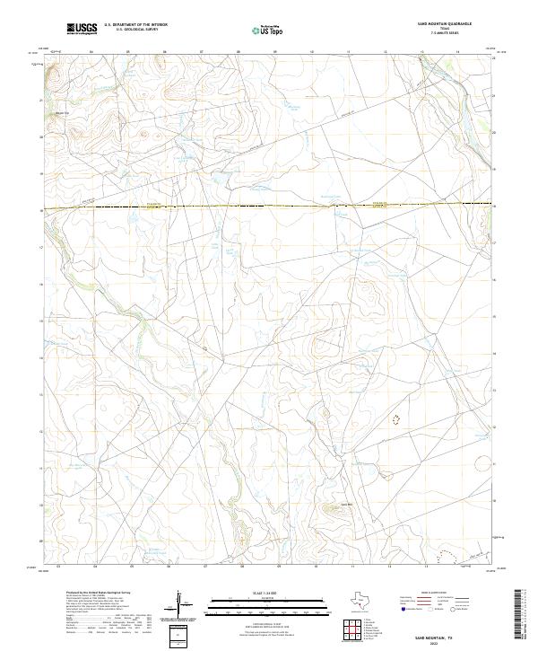 2022 Sand Mountain2022 Print · USGSZavala and Uvalde counties are mapped here in the early twenty-first century, showing a ranching landscape carved by seasonal waterways and high points. Researchers can trace land use through namesake features like Sand Mtn, Wagon Top, and the Nueces River.
 - 2022 Map of Gross Tank, 2022 Print
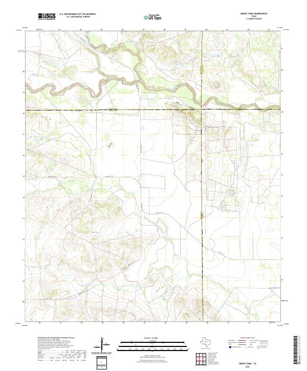 2022 Gross Tank2022 Print · USGSZavala County and its neighbors are mapped here in the early 2020s, showing the intersection of four Texas counties near the river forks. Trace the ranching landscape through landmarks like Gross Tank and the uniquely named Fight and Holler Cr.
 - 2022 Map of Pulliam Ranch, 2022 Print
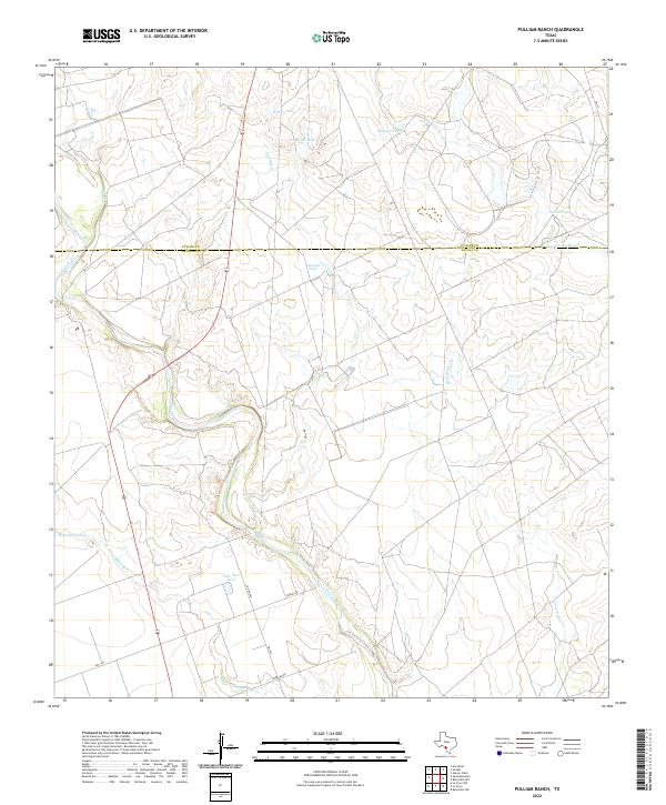 2022 Pulliam Ranch2022 Print · USGSThe Zavala County ranchlands are captured here in the early twenty-first century, showing the essential water and road networks of the South Texas brush country. Researchers can trace the meandering Nueces River and locate historic watering points like Horseshoe Tank and Ranger Tank.
 - 2022 Map of Lone Tree Hill, 2022 Print
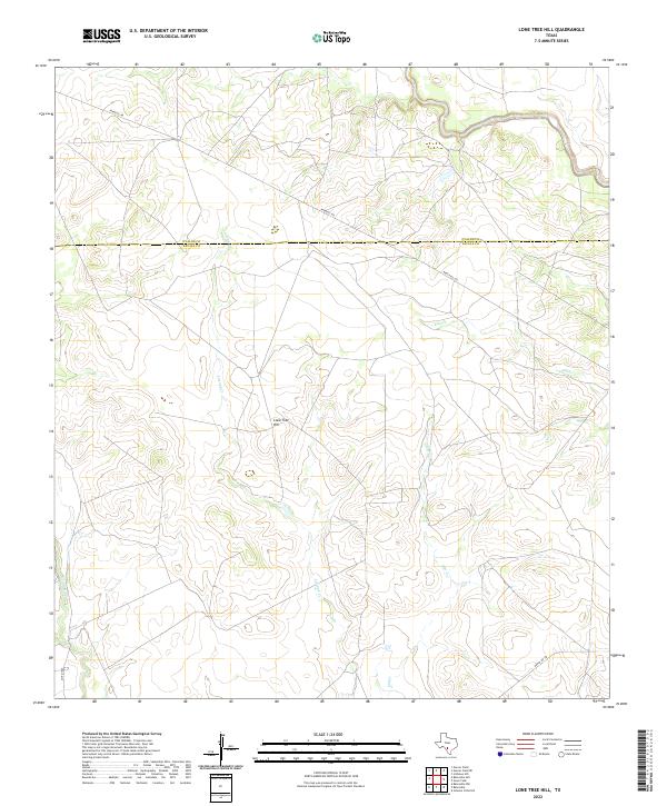 2022 Lone Tree Hill2022 Print · USGSSouth Texas ranch land along the Zavala and Uvalde county line is mapped in detail during the early 2020s. Researchers can trace rural routes like Pearsall Rd as they cross Liveoak Cr and Elm Cr near the landmark Lone Tree Hill.
 - 2022 Map of Batesville Hill, 2022 Print
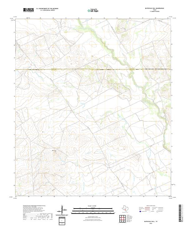 2022 Batesville Hill2022 Print · USGSThe borderlands of Uvalde and Zavala counties are mapped here in the early twenty-first century, showing a landscape of South Texas ranching and seasonal waterways. Researchers can trace the winding Leona River and locate landmarks like Batesville Hill, Leona Springs, and Childers Slough.
 - 2022 Map of Olmos Creek, 2022 Print
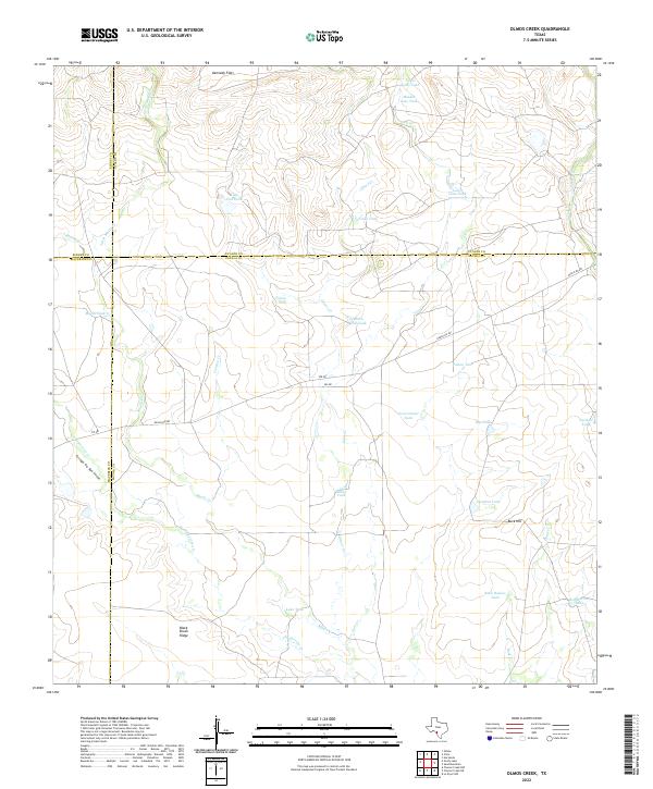 2022 Olmos Creek2022 Print · USGSZavala County ranchlands are documented here in the early twenty-first century at the intersection of four Texas counties. Researchers can trace the essential water infrastructure of the region through landmarks like Black Brush Ridge, Olmos Cr, and Javalina Tank.
 - 2022 Map of Chacon Creek SE, 2022 Print
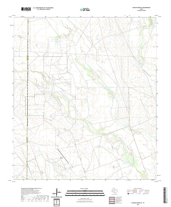 2022 Chacon Creek SE2022 Print · USGSThe Zavala and Maverick county line area in the early twenty-first century reveals a land defined by water management and remote ranching. Researchers can trace the layout of family-named landmarks like E O Jonsson Lake Number One and the Flying G Airport.
 - 2022 Map of Chacon Creek NE, 2022 Print
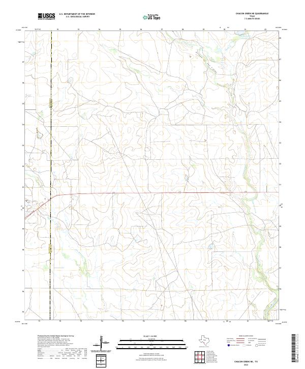 2022 Chacon Creek NE2022 Print · USGSZavala and Maverick counties are shown here in the early 2020s, dominated by wide-open ranch land and vital water features. Researchers can trace the ranching footprint of the Griffin Cattle Company Lake and the winding course of Chaparrosa Creek.
 - 2022 Map of Cometa, 2022 Print
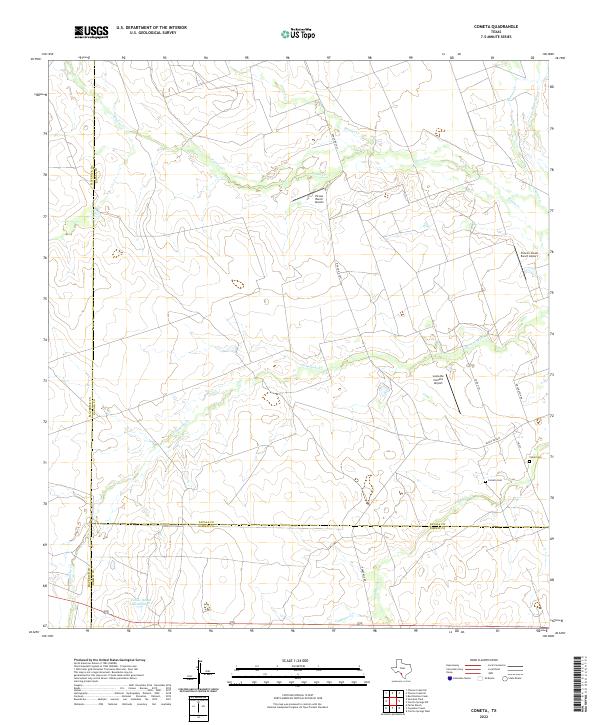 2022 Cometa2022 Print · USGSZavala and Dimmit counties are captured here in the early twenty-first century, showing a landscape of sprawling ranches and intermittent creek beds. Researchers can locate family landmarks such as Cometa Cem, Vivian Cem, and Farias Ranch Lake Number 1.
 - 2022 Map of Batesville, 2022 Print
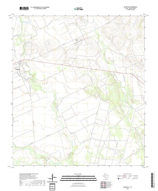 2022 Batesville2022 Print · USGSBatesville and the surrounding brush country are captured here in the early twenty-first century as the landscape remains defined by ranching and irrigation. Genealogists and researchers can locate family-named routes like Lantana Ranch Rd and landmarks such as the DM Ranch Airport.
 - 2022 Map of La Pryor SE, 2022 Print
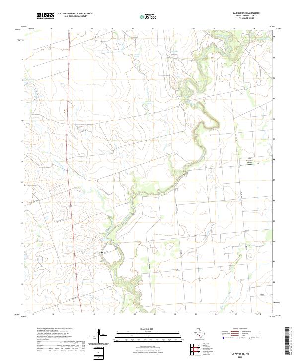 2022 La Pryor SE2022 Print · USGSZavala County's rural ranching and energy landscape is captured here in the early twenty-first century as it borders the winding Nueces River. Researchers can trace old family-named landmarks and infrastructure like T C Stricklin Lake, Zacate Ranch Rd, and the H & F Properties Airport.
 - 2022 Map of La Pryor, 2022 Print
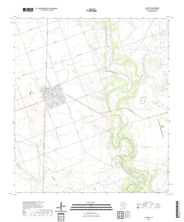 2022 La Pryor2022 Print · USGSZavala County ranching country and the community of La Pryor are captured here in the early twenty-first century. Researchers can trace local lineages at Sunset Hills Cem or follow the meandering course of the Nueces River and Mustang Cr.
 - 2022 Map of Snake Creek, 2022 Print
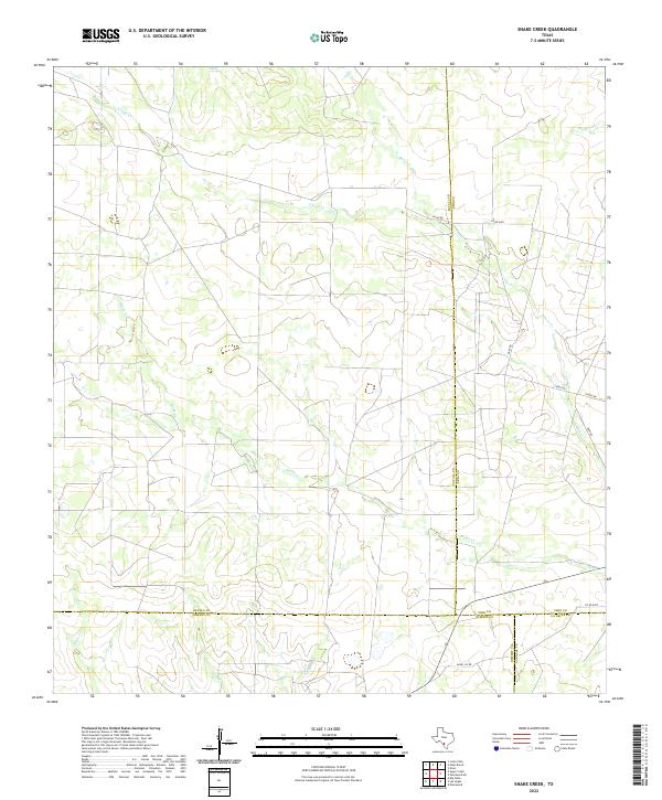 2022 Snake Creek2022 Print · USGSThe South Texas brush country at the meeting of four counties reveals a landscape defined by ranch roads and ephemeral watercourses. Researchers can trace the path of Snake Cr and Cibolo Cr past rural routes like Hugo Rd and Hurt Rd.
 - 2022 Map of Batesville NW, 2022 Print
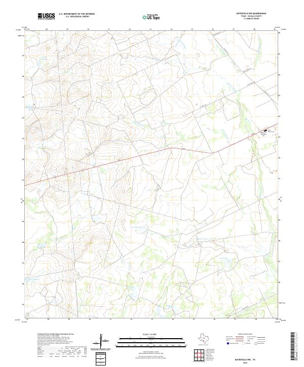 2022 Batesville NW2022 Print · USGSZavala County ranch land is captured in this modern survey, showing the complex system of water tanks and sloughs essential to the region's economy. Researchers can locate burial sites at Saint Patrick Cem and trace the paths of Gallina Slough and Tortuga Cr.
 - 2022 Map of Sugar Creek, 2022 Print
 2022 Sugar Creek2022 Print · USGSThe South Texas brush country along the border of Zavala and Dimmit counties is shown here during a period of modern ranching. Researchers can trace land use through named livestock landmarks like John Davis Tank, Gate Tank, and the winding path of Sugar Creek.
 - 2022 Map of Johnnie Little Hill, 2022 Print
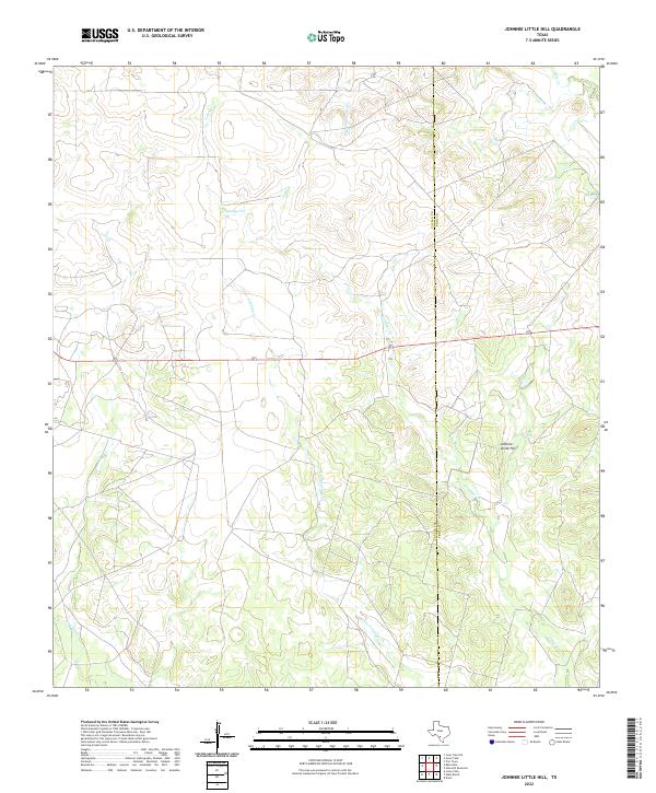 2022 Johnnie Little Hill2022 Print · USGSZavala and Frio Counties are captured in this recent survey of the brush country, showing the region as it remains today. Researchers can trace family ranch boundaries and water sources like Johnnie Little Hill, Fight and Holler Cr, and Yoledigo Cr.
 - 2022 Map of Carrizo Springs NW, 2022 Print
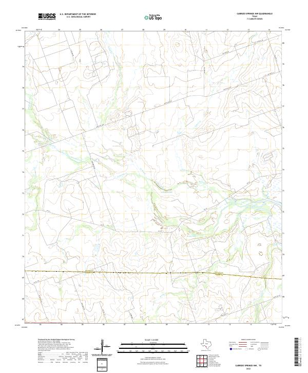 2022 Carrizo Springs NW2022 Print · USGSThe ranchlands of the Zavala and Dimmit county line are mapped here in the early twenty-first century. Researchers can trace the drainage patterns of Turkey Creek and Comanche Creek or locate local landmarks like Crooked Lake and Rocky Lake.
 - 2022 Map of Loma Vista, 2022 Print
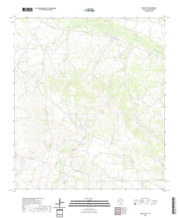 2022 Loma Vista2022 Print · USGSZavala County ranching country is documented here in the early twenty-first century, showing the enduring reliance on seasonal water sources and rural road networks. Researchers can locate family landmarks such as the Loma Vista Cem or trace the drainage of the Leona River and Arroyo Negro.
 - 2022 Map of Crystal City, 2022 Print
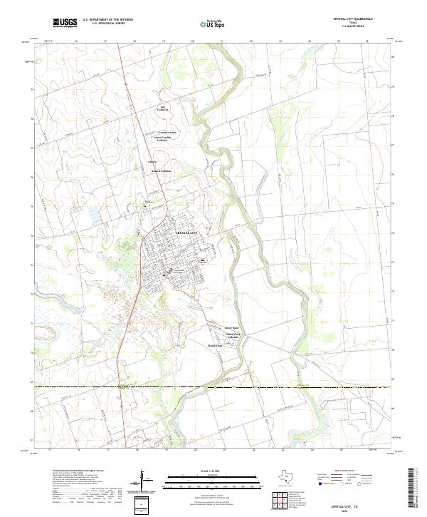 2022 Crystal City2022 Print · USGSCrystal City and its surrounding colonias are captured here in the early 2020s, showing the settled residential patterns of South Texas. Researchers can locate family landmarks such as Benito Juarez Cem, the Zavala County Courthouse, and the banks of the Nueces River.
 - 2022 Map of La Pryor NW, 2022 Print
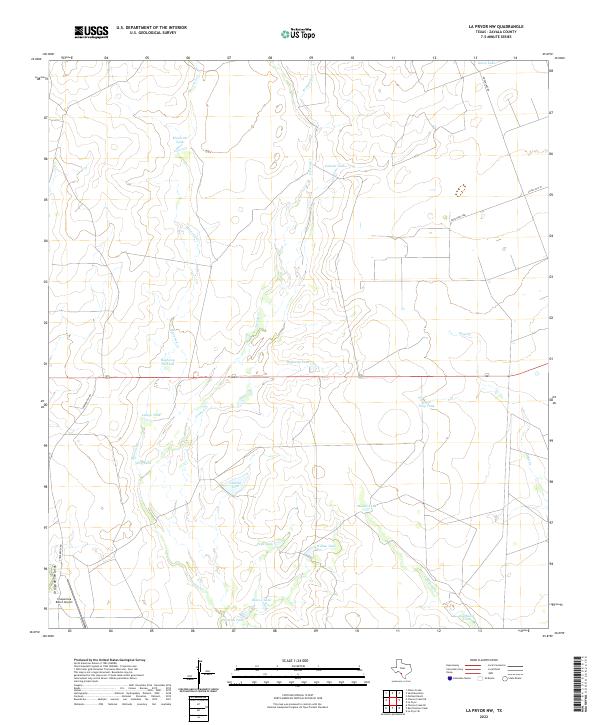 2022 La Pryor NW2022 Print · USGSZavala County ranch land is captured in the early 2020s, showing a landscape shaped by water management and aviation. Trace the numerous livestock basins like Látigo Tank and Pepe Tank or follow the path of Maverick Cr near Chaparrosa Ranch Airport.
 - 2022 Map of Woodard Lake, 2022 Print
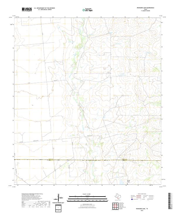 2022 Woodard Lake2022 Print · USGSRanching lands on the Zavala and Dimmit County line are defined by cattle tanks and seasonal drainages. Trace the rural landscape along Tortuga Cr and identify landmarks like Woodard Lake and the Tortuga Ranch Airport.
 - 2022 Map of West Ranch, 2022 Print
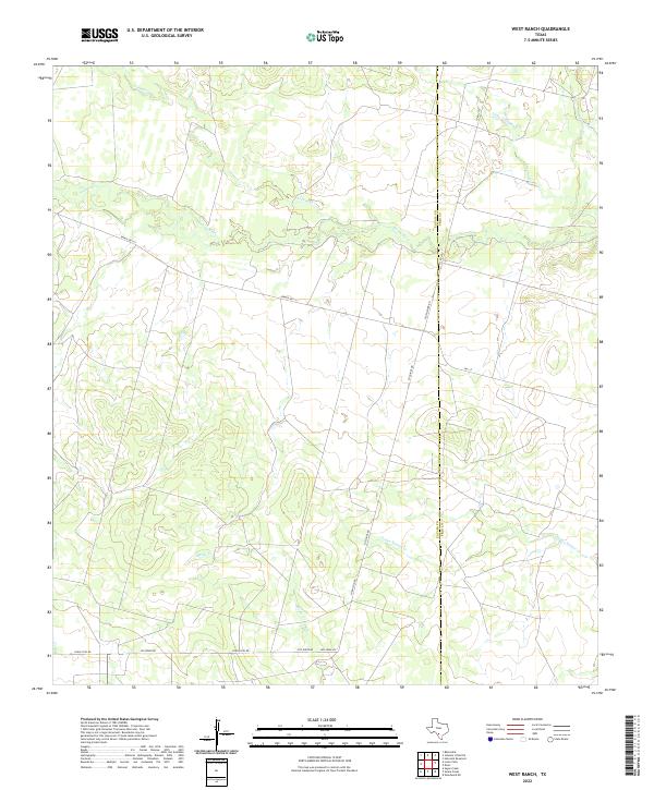 2022 West Ranch2022 Print · USGSThe brush country of South Texas comes into focus in this early twenty-first-century survey of the Zavala and Frio county line. Researchers can trace rural road networks and seasonal drainages including Leona River, Old Loma Vis, and Todos Santos Cr.
 - 2022 Map of Beef Hollow Creek, 2022 Print
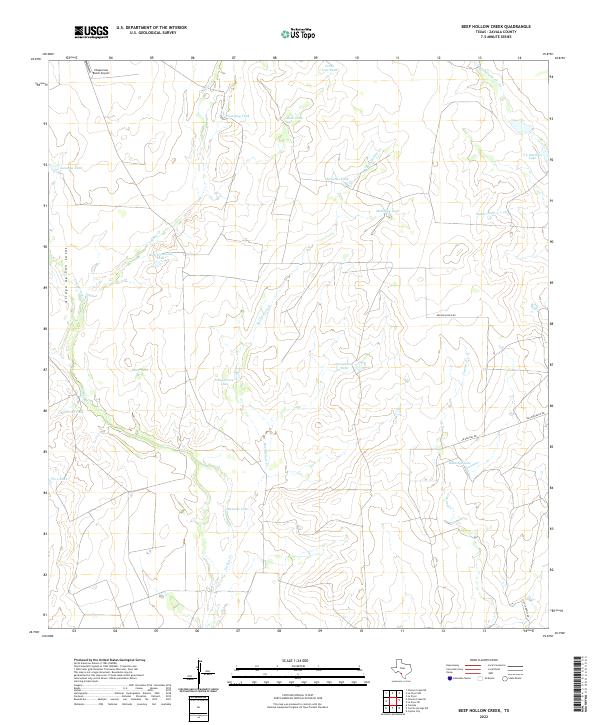 2022 Beef Hollow Creek2022 Print · USGSRanching infrastructure and water management define this South Texas landscape in the early twenty-first century. Researchers can trace land use through named features like Chaparrosa Ranch Airport, Youngblood Tank, and Rutledge Lake.
 - 2022 Map of Batesville SW, 2022 Print
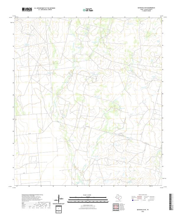 2022 Batesville SW2022 Print · USGSZavala County ranchlands in the modern era are defined by a sophisticated system of water storage and rural roads. Researchers can trace the layout of large estates through landmarks like Headquarters Tank, Lost Waterhole Tank, and Tortuga Cr.
End of results
Showing maps 1-24 of 24
Top cities of Zavala County
Frequently asked questions
- What are the different types of historical maps available for Zavala County?
- What is the oldest map of Zavala County?
- Where can I purchase historical maps of Zavala County for my home or office?
- Where can I download high-res historical maps of Zavala County?
- Are there historical topographic maps available for Zavala County?
- Is there historical aerial imagery available for Zavala County?
- Where are historical maps of Zavala County sourced from?