2010s Maps of Zavala County, Texas
Explore 96 historic maps of Zavala County from the 2010s. These maps offer a rare glimpse into what life looked like during the 2010s — showing old roads, neighborhoods, homes, and landmarks that have changed or disappeared over time.
Whether you're researching your family's past, planning a metal detecting trip, or studying how Zavala County's landscape evolved across the 2010s, these high-resolution maps are a powerful tool for exploring the history of this region.
- Focus on a specific era: All maps on this page are from the 2010s, giving you a focused view of this time period.
- See what’s changed: Compare century-old streets, trails, and buildings to today's modern landscape using overlays and satellite layers.
- Research with precision: Use these maps for genealogy, historical research, land use analysis, or educational projects.
- View, download, or print: Maps are fully viewable online in high resolution, and can be downloaded or printed for your own records.
Start exploring Zavala County's history through authentic maps from the 2010s. This is your window into the past.
Zavala County, TX maps
(96)- 2010 Map of Batesville Hill, 2010 Print
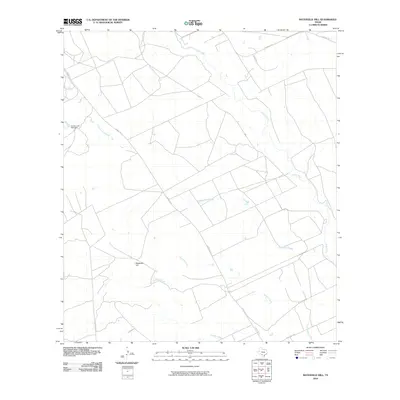 2010 Batesville Hill2010 Print · USGSZavala County ranch lands are mapped here in the early twenty-first century, showing a terrain defined by complex water systems. Local historians can trace the paths of Leona River and Childers Slough past landmarks like Batesville Hill.
 - 2010 Map of Olmos Creek, 2010 Print
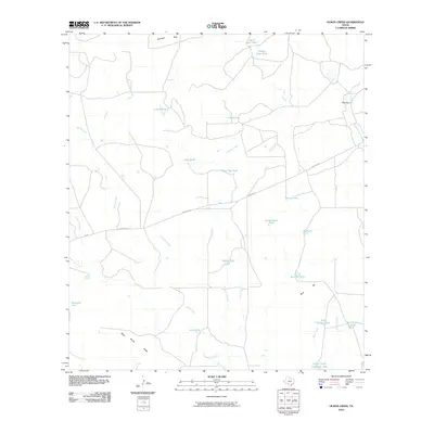 2010 Olmos Creek2010 Print · USGSMaverick County rangeland is shown at the start of the decade, revealing a landscape defined by ranching and vital water infrastructure. Researchers can trace land management through features like Griffin Cattle Company Lake, Kennedy Flats, and Black Brush Ridge.
 - 2010 Map of Lone Tree Hill, 2010 Print
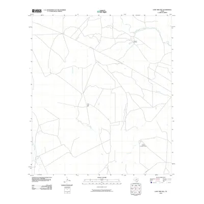 2010 Lone Tree Hill2010 Print · USGSZavala County ranching country is shown here in the early 2000s, featuring a landscape shaped by river systems and livestock operations. Trace local landmarks like Lone Tree Hill, the Garwood Lake Dam, and the R and J Livestock Company Airport.
 - 2010 Map of Batesville NW, 2010 Print
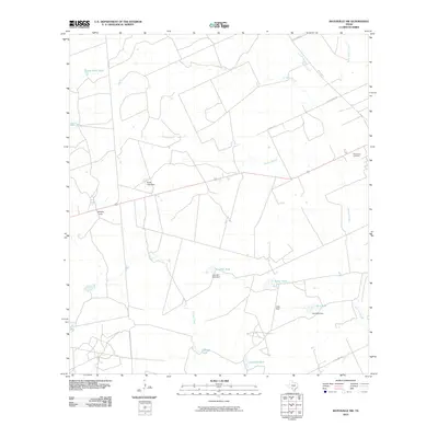 2010 Batesville NW2010 Print · USGSZavala County in the early twenty-first century reflects a landscape of ranching camps and water management. Genealogists and local historians can locate Woodlawn Cemetery and Midway Camp alongside named water features like Childers Slough and Tortuga Creek.
 - 2010 Map of Carrizo Springs NW, 2010 Print
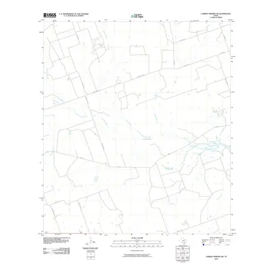 2010 Carrizo Springs NW2010 Print · USGSZavala County ranch land is captured here in the early twenty-first century, showing the essential relationship between water and the road. Researchers can trace the courses of Comanche Creek and Turkey Creek as they feed into Crooked Lake and Comanche Lake.
 - 2010 Map of La Pryor, 2010 Print
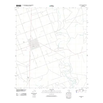 2010 La Pryor2010 Print · USGSLa Pryor and the surrounding Zavala County ranchlands are documented here during the early twenty-first century. Researchers can locate specific family-history sites like the La Pryor Cemetery or trace water resources along the Nueces River and Knowles Reservoir Dam.
 - 2010 Map of Woodard Lake, 2010 Print
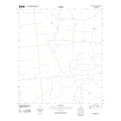 2010 Woodard Lake2010 Print · USGSZavala County ranchlands in the early 2000s are captured here, showing the vital water and road networks of the South Texas Brush Country. Researchers can locate family-named landmarks and water sources like Kieschnick Ranch, Woodard Lake, and Margarita Tank.
 - 2010 Map of Batesville SW, 2010 Print
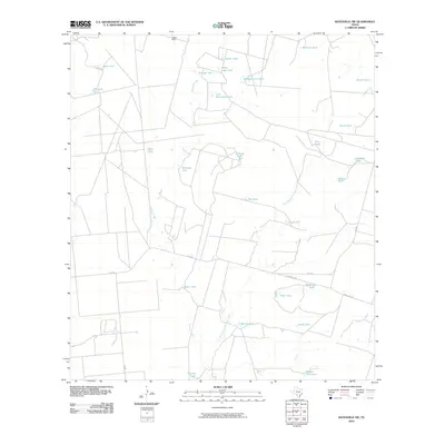 2010 Batesville SW2010 Print · USGSZavala County ranchlands are captured here in the early 2000s, showing a landscape defined by cattle tanks and seasonal creek beds. Researchers can trace land use through named water features like Cassin Dam, Mustang Tank, and Badger Hole Tank.
 - 2010 Map of West Ranch, 2010 Print
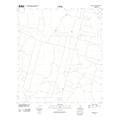 2010 West Ranch2010 Print · USGSFrio County ranching culture is well-documented in this early twenty-first-century survey of the South Texas brush country. Researchers can trace the layout of West Ranch and locate specific landmarks like White Windmill and the winding Leona River.
 - 2010 Map of Beef Hollow Creek, 2010 Print
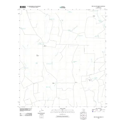 2010 Beef Hollow Creek2010 Print · USGSZavala County ranchlands are documented here in the early twenty-first century, showing a landscape shaped by water management. Genealogists and local historians can trace family-named infrastructure like McNalley Windmill, High Lonesome Camp, and Rutledge Lake.
 - 2010 Map of Batesville, 2010 Print
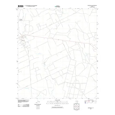 2010 Batesville2010 Print · USGSBatesville and the surrounding Zavala County rangeland are captured here in the early twenty-first century. Genealogists and land historians can trace rural property access via Old Loma Vista Rd and locate the Old Comanche Irrigation Company Dam along the Leona River.
 - 2010 Map of Johnnie Little Hill, 2010 Print
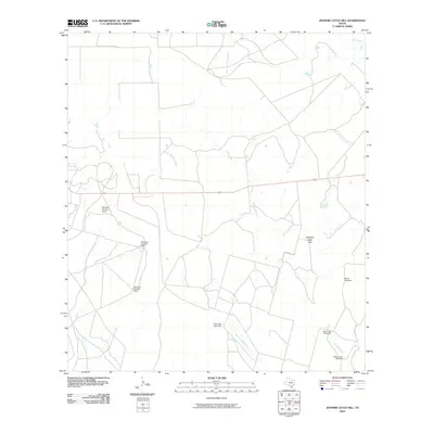 2010 Johnnie Little Hill2010 Print · USGSFrio County ranch land at the start of the 21st century reveals a landscape managed through a vast network of water infrastructure. Researchers can trace land use and local geography through named landmarks like Johnnie Little Hill, Three Leg Windmill, and Fight and Holler Creek.
 - 2010 Map of Snake Creek, 2010 Print
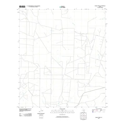 2010 Snake Creek2010 Print · USGSFrio County ranch land and ephemeral stream systems are surveyed here during the first decade of the 2000s. Genealogists and local historians can trace property boundaries and rural routes like Hugo Rd near the banks of Cibolo Creek and Snake Creek.
 - 2010 Map of Pulliam Ranch, 2010 Print
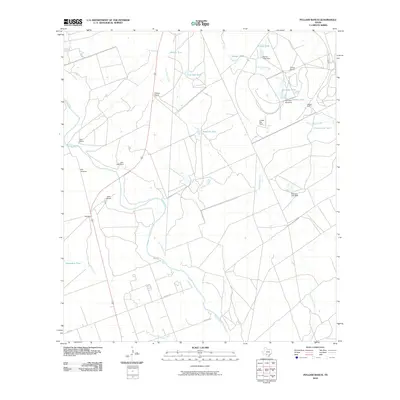 2010 Pulliam Ranch2010 Print · USGSIn this 2010 survey of Zavala County, the cattle-ranching landscape of South Texas is marked by its vital water-management network. Researchers can trace historic properties and family landmarks like Pulliam Ranch, the Uvalde Test Track, and Kennedy Windmill.
 - 2010 Map of La Pryor NW, 2010 Print
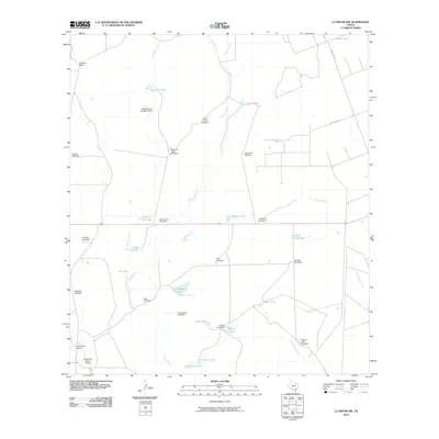 2010 La Pryor NW2010 Print · USGSZavala County ranching operations are captured here at the start of the 2010s, showing a landscape defined by water management and aviation. Researchers can trace the layout of the Chaparrosa Ranch and its Chaparrosa Ranch Airport, alongside essential range landmarks like Rancho Viejo Windmill and Maverick Tank.
 - 2010 Map of Gross Tank, 2010 Print
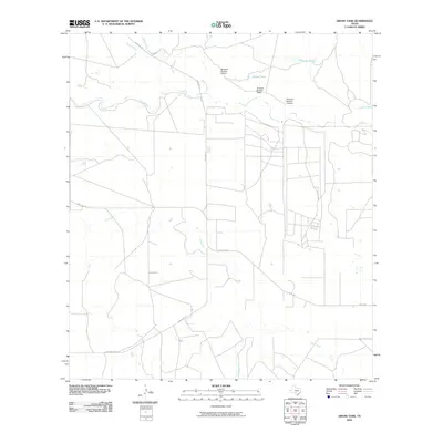 2010 Gross Tank2010 Print · USGSMedina County ranch lands are shown in detail during the early 21st century, centered on essential water sources and rural roads. Researchers can locate specific ranching landmarks like Catfish Tank, Windmill Number Sixteen, and the curiously named Fight-and-Holler-Creek.
 - 2010 Map of Loma Vista, 2010 Print
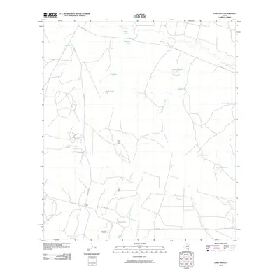 2010 Loma Vista2010 Print · USGSZavala County ranching country is documented here in the early twenty-first century, showing a landscape defined by water management and rural outposts. Genealogists and local historians can locate the Loma Vista Cemetery, trace the Leona River, and identify family-named landmarks like White Cotton Ranch.
 - 2010 Map of La Pryor SE, 2010 Print
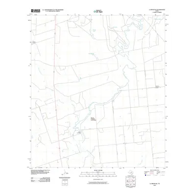 2010 La Pryor SE2010 Print · USGSZavala County ranch land meets the winding river in the early twenty-first century. Researchers can trace rural infrastructure and property markers from the Nueces Campsite Lots Colonia to the H and F Properties Airport and Alligator Slough.
 - 2010 Map of Sand Mountain, 2010 Print
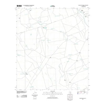 2010 Sand Mountain2010 Print · USGSThe ranchlands of Uvalde County come alive in the early twenty-first century, showing the critical intersection of the Nueces River and Smyth Crossing. Genealogists and researchers can trace local family holdings like Barkly Ranch and Weirbush Ranch alongside landmarks like Sand Mountain.
 - 2010 Map of Crystal City, 2010 Print
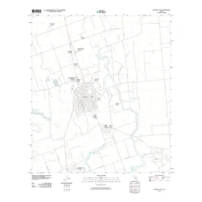 2010 Crystal City2010 Print · USGSCrystal City and the surrounding colonias of Zavala County are shown in detail at the turn of the decade. Genealogists and local historians can trace family locations near Juarez Cemetery, Espantosa Lake, and the Elaine Oil Field.
 - 2010 Map of Sugar Creek, 2010 Print
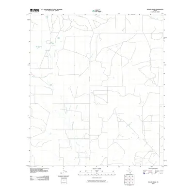 2010 Sugar Creek2010 Print · USGSZavala County ranching country is documented here in the early twenty-first century, showing the enduring reliance on cattle tanks and seasonal creeks. Researchers can trace land boundaries and water sources like Big Manning Ranch, John Davis Tank, and Loma Vista Creek.
 - 2010 Map of Chacon Creek NE, 2010 Print
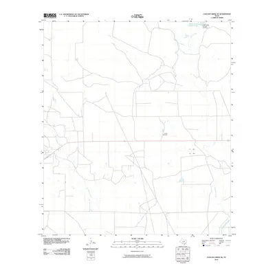 2010 Chacon Creek NE2010 Print · USGSMaverick County ranch lands are shown in high detail during the early twenty-first century, revealing the vital infrastructure of South Texas cattle operations. Researchers can trace water management systems including Griffin Cattle Company Lake and Finley Lake Dam.
 - 2010 Map of Cometa, 2010 Print
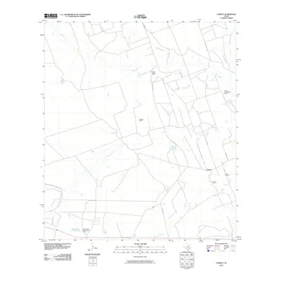 2010 Cometa2010 Print · USGSThe south Texas ranching country around Zavala County is captured here in the early twenty-first century. Genealogists and researchers can locate family sites including Cometa Cemetery, Vivian Cemetery, and the historic Eslabon Ranch along the creeks.
 - 2010 Map of Chacon Creek SE, 2010 Print
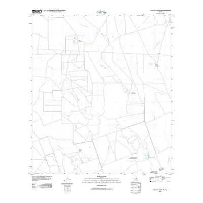 2010 Chacon Creek SE2010 Print · USGSMaverick County ranch lands are detailed in this 2010 survey, showcasing the essential water infrastructure of the South Texas brush country. Researchers can trace land use through named features like Twin Lakes, the Flying T O Ranch Airport, and Cometa Lake.
 - 2012 Map of Chacon Creek SE, 2012 Print
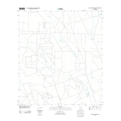 2012 Chacon Creek SE2012 Print · USGSMaverick County ranch lands are detailed here during the early twenty-first century, showing a landscape defined by water management and aviation. Researchers can trace rural infrastructure like the Flying G Airport and named reservoirs including Cometa Lake and Twin Lakes.
Showing maps 1-25 of 96
Top cities of Zavala County
Frequently asked questions
- What are the different types of historical maps available for Zavala County?
- What is the oldest map of Zavala County?
- Where can I purchase historical maps of Zavala County for my home or office?
- Where can I download high-res historical maps of Zavala County?
- Are there historical topographic maps available for Zavala County?
- Is there historical aerial imagery available for Zavala County?
- Where are historical maps of Zavala County sourced from?