2000s (21st Century) Maps of Cache County, Utah
Explore 160 historic maps of Cache County from the 2000s (21st Century). These maps offer a rare glimpse into what life looked like during the 2000s — showing old roads, neighborhoods, homes, and landmarks that have changed or disappeared over time.
Whether you're researching your family's past, planning a metal detecting trip, or studying how Cache County's landscape evolved across the 2000s, these high-resolution maps are a powerful tool for exploring the history of this region.
- Focus on a specific era: All maps on this page are from the 2000s, giving you a focused view of this time period.
- See what’s changed: Compare century-old streets, trails, and buildings to today's modern landscape using overlays and satellite layers.
- Research with precision: Use these maps for genealogy, historical research, land use analysis, or educational projects.
- View, download, or print: Maps are fully viewable online in high resolution, and can be downloaded or printed for your own records.
Start exploring Cache County's history through authentic maps from the 2000s. This is your window into the past.
Cache County, UT maps
(160)- 2010 Map of Newton, 2010 Print
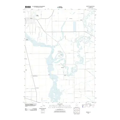 2010 Newton2010 Print · USGSNorthern Utah's agricultural heartland is documented here in the early twenty-first century as the Bear River flows into the expansive Cutler Reservoir. Researchers can trace the rural layout of Newton and Amalga or locate specific historical crossings like Quigley Crossing and Cache Junction.
 - 2011 Map of Cutler Dam, 2011 Print
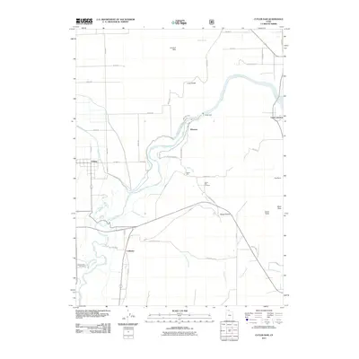 2011 Cutler Dam2011 Print · USGSThe Bear River valley in northern Utah is shown here in the early twenty-first century, centered on the vital water management of Cutler Dam. Genealogists and local historians can locate rural burial grounds like Beaver Dam Cemetery and trace the rail-and-water infrastructure near Cache Junction.
 - 2011 Map of Clarkston, 2011 Print
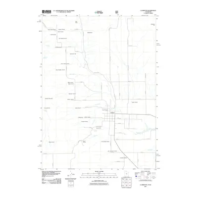 2011 Clarkston2011 Print · USGSIn the shadow of the Malad Range during the early 21st century, Clarkston serves as the hub of a high-country ranching and farming landscape. Researchers can locate named landmarks like Al Archibald Hollow, Thompson Spring, and the prominent Gunsight Peak.
 - 2011 Map of Portage, 2011 Print
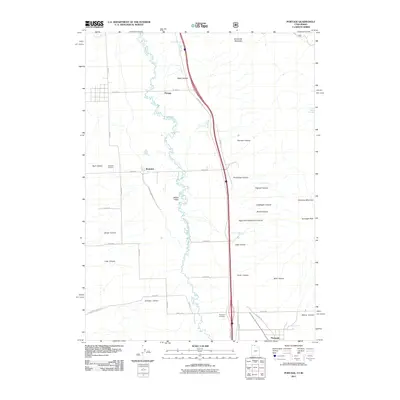 2011 Portage2011 Print · USGSThe northern Malad Valley and the Utah-Idaho borderlands are captured here in the early twenty-first century. Genealogists and local historians can locate the Washakie Cemetery and Plymouth Cemetery, or trace the path of the Malad River through the valley floor.
 - 2011 Map of Brigham City, 2011 Print
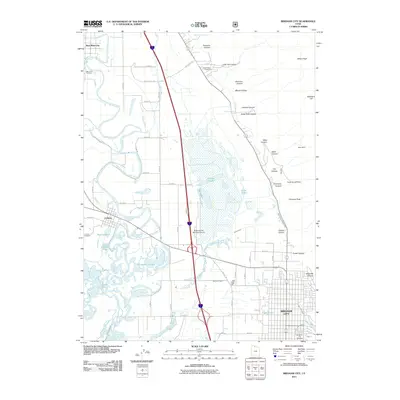 2011 Brigham City2011 Print · USGSBrigham City and the surrounding Bear River valley are shown here in the early twenty-first century as the region balanced its agricultural roots with urban growth. Genealogists can trace family burial sites at Harper Ward Cemetery and Corinne Cemetery or locate old industrial sites like Baker Mine.
 - 2011 Map of Honeyville, 2011 Print
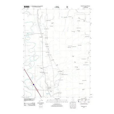 2011 Honeyville2011 Print · USGSThe Bear River valley is shown at a time when traditional water sources and modern infrastructure met along the base of the mountains. Researchers can trace family history at the Honeyville Cemetery or locate historic recreation spots like Crystal Spring Resort and Spring Lake.
 - 2011 Map of Sharp Mountain, 2011 Print
 2011 Sharp Mountain2011 Print · USGSThe Sunridge Highlands are shown in the early twenty-first century, a landscape where mountain mining history meets modern backcountry access. Trace the historic La Plata Mine or follow the headwaters of the Right Fork Middle Fork Ogden River.
 - 2011 Map of Mount Pisgah, 2011 Print
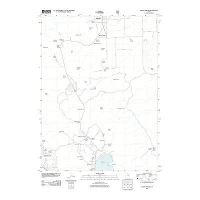 2011 Mount Pisgah2011 Print · USGSThe northern Wasatch Range meets the Cache Valley in the early twenty-first century, showing the rugged corridor between Brigham City and Wellsville. Genealogists and hikers can trace the Mount Sterling Cemetery, the climb to Mount Pisgah, and the waters of Dry Lake.
 - 2011 Map of Temple Peak, 2011 Print
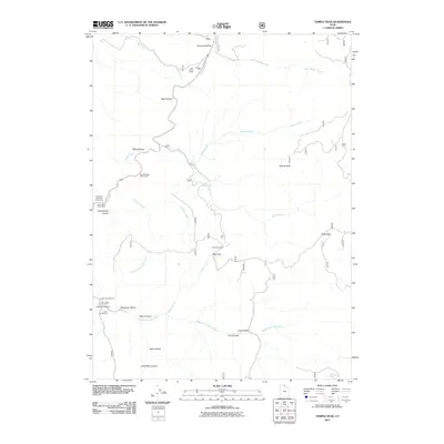 2011 Temple Peak2011 Print · USGSThe high canyons and watercourses of Cache County are detailed in this early twenty-first-century survey. Researchers can trace land use through features like Twin Creek Corral, Brachipad Summer Home Area, and the Lomia Girlscamp.
 - 2011 Map of Porcupine Reservoir, 2011 Print
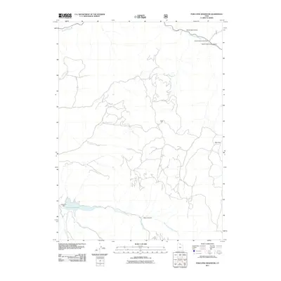 2011 Porcupine Reservoir2011 Print · USGSHigh-altitude Cache County is captured here in the early 2000s, centered on the critical water management at Porcupine Reservoir. Researchers can trace old mountain routes and backcountry landmarks like Cooks Cabin, Bear Flat, and the Porcupine Dam.
 - 2011 Map of Meadowville, 2011 Print
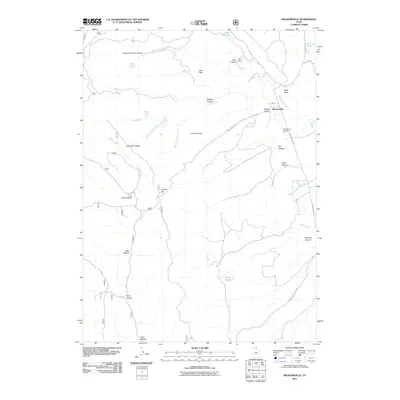 2011 Meadowville2011 Print · USGSMeadowville and the high flats of Rich County are documented here in the early twenty-first century. Researchers can locate Meadowville Cemetery, trace the roads leading to Cook Ranch, and explore the topography of Log Cabin Ridge and Temple Flat.
 - 2011 Map of Logan, 2011 Print
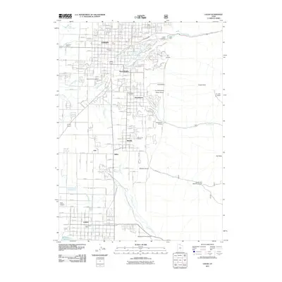 2011 Logan2011 Print · USGSCache Valley's urban and agricultural heart is captured here in the early 2000s, stretching from the Utah State University campus down to the Hyrum Reservoir. Researchers can trace local genealogy at the Logan Cemetery or locate industrial sites like the Miller Brothers Feedyard.
 - 2011 Map of Mantua, 2011 Print
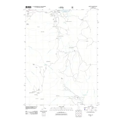 2011 Mantua2011 Print · USGSThe high basins and canyons of Box Elder County are documented in this 2011 survey during a period of active recreation and lingering industrial footprints. Researchers can locate the Mantua Cemetery, the Alvarado Mine, and former sites like Camp Lamondi.
 - 2011 Map of Wellsville, 2011 Print
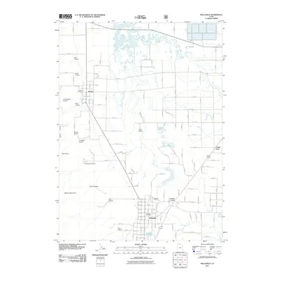 2011 Wellsville2011 Print · USGSCache Valley in the early twenty-first century reveals a landscape where the Wellsville Mountains meet the waters of the Little Bear River. Researchers can trace family roots at the Wellsville Cemetery and Mendon City Cemetery or locate the Wellsville Post Office.
 - 2011 Map of Garden City, 2011 Print
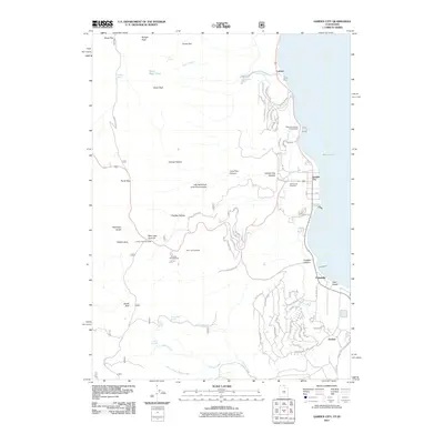 2011 Garden City2011 Print · USGSBear Lake's western shoreline in the early 2010s shows a unique mix of high-desert recreation and mountain wilderness. Researchers can trace local landmarks like the Garden City Cemetery, Camp Hunt, and family-named terrain such as Richardson Fork and Cheney Creek.
 - 2011 Map of Smithfield, 2011 Print
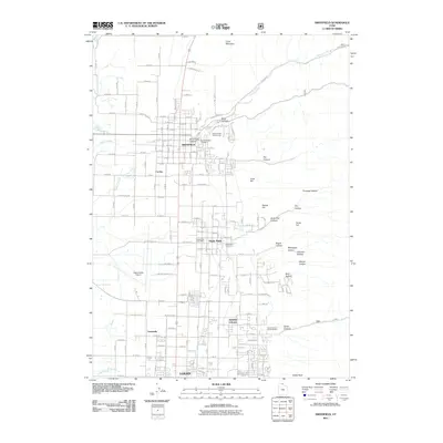 2011 Smithfield2011 Print · USGSCache Valley thrives in the early twenty-first century as the corridor between Logan and Smithfield fills with residential and civic growth. Genealogists and local historians can locate the Hyde Park Cemetery, Smithfield City Cemetery, and the Hyde Park Post Office amidst the changing suburban landscape.
 - 2011 Map of Boulder Mountain, 2011 Print
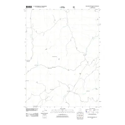 2011 Boulder Mountain2011 Print · USGSHigh in the Bear River Range during the early twenty-first century, this area shows a landscape of deep hollows and high-elevation mining. Researchers can trace the legacy of prospecting at Lucky Star Mine or follow routes through Pleasant Valley and Squaw Flat.
 - 2011 Map of Monte Cristo Peak, 2011 Print
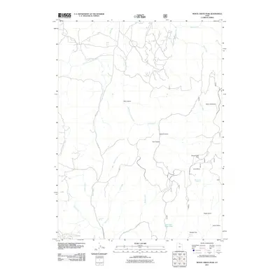 2011 Monte Cristo Peak2011 Print · USGSHigh mountain terrain in Weber County is detailed here during the early twenty-first century. Researchers can trace the paths of Ant Flat Rd and locate remote landmarks like Monte Cristo Peak, Lower Dry Bread Pond, and Norma Spring.
 - 2011 Map of Paradise, 2011 Print
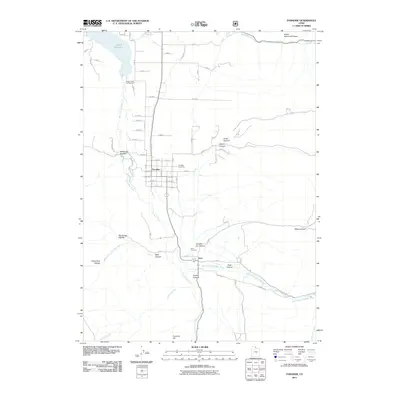 2011 Paradise2011 Print · USGSParadise and the southern Cache Valley are shown here in the early twenty-first century as the landscape transitions from reservoir waters to mountain canyons. Researchers can trace the heritage of local families at the Paradise Cemetery and Avon Cemetery or follow the waters of the Little Bear River.
 - 2011 Map of Dairy Ridge, 2011 Print
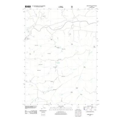 2011 Dairy Ridge2011 Print · USGSWeber County's high ridges and canyons are captured in detail during the early 2010s, showcasing a landscape of mountain watersheds and seasonal ranching. Local historians and hunters can trace the terrain from Monte Cristo Campground to remote landmarks like Zeke Hollow Corral and Dairy Ridge Reservoir.
 - 2011 Map of James Peak, 2011 Print
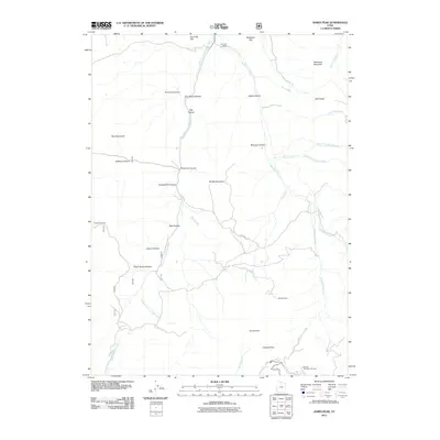 2011 James Peak2011 Print · USGSThe Wasatch peaks and high-country watersheds are documented here just as the modern ski industry and historical mining intersect. Researchers can trace land use from the Bluebell Mine and Fourmile Ranch to the Powder Mountain Ski Area.
 - 2011 Map of Logan Peak, 2011 Print
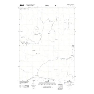 2011 Logan Peak2011 Print · USGSHigh in the Bear River Range during the early 2000s, this area shows a landscape of mountain peaks and recreational forest camps. Trace geological markers like the Lake Bonneville Monument and mountain summits including Logan Peak and Millville Peak.
 - 2011 Map of Browns Hole, 2011 Print
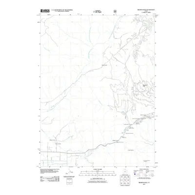 2011 Browns Hole2011 Print · USGSThe foothills of the Wasatch Range east of Ogden come alive in this map from the early 2010s. Local historians and genealogists can trace the development of Evergreen Park and locate historical recreation sites like Camp Beaver and the Ben Lomond Station Post Office.
 - 2011 Map of Hardware Ranch, 2011 Print
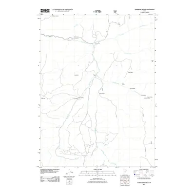 2011 Hardware Ranch2011 Print · USGSNorthern Utah's high country is documented here in the early twenty-first century, showing the remote canyon lands of Cache County. Local historians can trace the geography of the Blacksmith Fork drainage and locate sites like Hardware Ranch, Anderson Ranch, and Camp Wapiti.
 - 2011 Map of Red Spur Mountain, 2011 Print
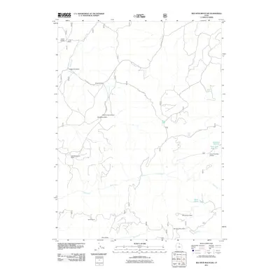 2011 Red Spur Mountain2011 Print · USGSCache County's high-altitude valleys and timberlands are captured here in the early twenty-first century. Researchers can trace the legacy of local industry and water management through sites like Baxter Sawmill, Lodgepole Reservoir, and Bug Lake.
Showing maps 1-25 of 160
Top cities of Cache County
- Logan historical maps
- Hyrum historical maps
- North Logan historical maps
- Smithfield historical maps
- Providence historical maps
- Wellsville historical maps
See more
Frequently asked questions
- What are the different types of historical maps available for Cache County?
- What is the oldest map of Cache County?
- Where can I purchase historical maps of Cache County for my home or office?
- Where can I download high-res historical maps of Cache County?
- Are there historical topographic maps available for Cache County?
- Is there historical aerial imagery available for Cache County?
- Where are historical maps of Cache County sourced from?