2000s (21st Century) Maps of Grand County, Utah
Explore 429 historic maps of Grand County from the 2000s (21st Century). These maps offer a rare glimpse into what life looked like during the 2000s — showing old roads, neighborhoods, homes, and landmarks that have changed or disappeared over time.
Whether you're researching your family's past, planning a metal detecting trip, or studying how Grand County's landscape evolved across the 2000s, these high-resolution maps are a powerful tool for exploring the history of this region.
- Focus on a specific era: All maps on this page are from the 2000s, giving you a focused view of this time period.
- See what’s changed: Compare century-old streets, trails, and buildings to today's modern landscape using overlays and satellite layers.
- Research with precision: Use these maps for genealogy, historical research, land use analysis, or educational projects.
- View, download, or print: Maps are fully viewable online in high resolution, and can be downloaded or printed for your own records.
Start exploring Grand County's history through authentic maps from the 2000s. This is your window into the past.
Grand County, UT maps
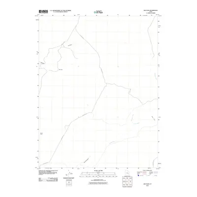
(429)- 2001 Map of Dolores Point South, 2004 Print
 2001 Dolores Point South2004 Print · USGSThe high plateaus along the Utah-Colorado state line are captured here at the start of the millennium. Local history researchers can trace high-elevation landmarks such as Kirks Basin, Pace Lake, and the remote Fish & Game Cabin.
 - 2001 Map of Fisher Valley, 2004 Print
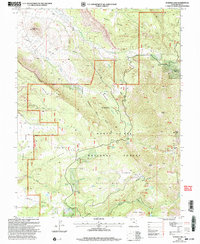
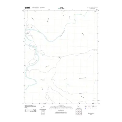
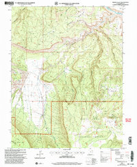 2001 Fisher Valley2004 Print · USGSGrand County at the turn of the millennium is characterized by the remote mesas and canyonlands of the Moab Ranger District. Researchers can trace old mining operations near Polar Mesa, including several Mine Shafts and Adits tucked above Fisher Valley.
 - 2001 Map of Mount Waas, 2004 Print
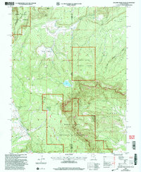
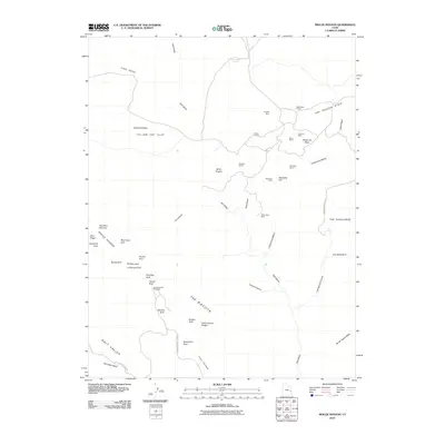
 2001 Mount Waas2004 Print · USGSThe high peaks of the La Sal Mountains stood as a wilderness frontier at the turn of the millennium. Hikers and historians can trace the high-altitude routes through Burro Pass, locate secluded water at Dons Lake, and explore the legacy of the Moab Ranger District.
 - 2001 Map of Mount Peale, 2004 Print
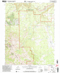
 2001 Mount Peale2004 Print · USGSThe high peaks of the San Juan and Grand County border are captured here during the early 2000s, showcasing the peaks of the southern La Sal range. Map collectors and hikers can trace routes through Geyser Pass, find secluded waters like Blue Lake, and locate the high summit of Mount Peale.
 - 2001 Map of Warner Lake, 2004 Print
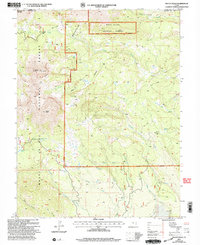
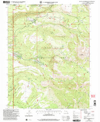
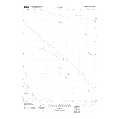
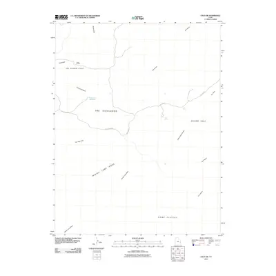
 2001 Warner Lake2004 Print · USGSThe northern La Sal Mountains meet the deep desert canyons in this early 2000s survey of Grand County. Local historians can trace the 1881 conflict site at Pinhook Battleground and explore old mining footprints at Miners Basin.
 - 2001 Map of Mount Tukuhnikivatz, 2004 Print
 2001 Mount Tukuhnikivatz2004 Print · USGSThe high peaks and deep canyons of the La Sal Mountains are captured here at the turn of the millennium. Researchers can locate historical mining sites like the Yellow Circle Mines or trace high-altitude routes through La Sal Pass and Brumley Ridge.
 - 2001 Map of Dolores Point North, 2004 Print
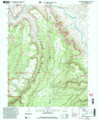 2001 Dolores Point North2004 Print · USGSThe high desert canyons along the Utah-Colorado border come into sharp focus in this late twentieth-century revision. Researchers can trace historic mining activity near Dolores Point or locate water sources like D P Spring and the Dolores River.
 - 2001 Map of Buckeye Reservoir, 2004 Print
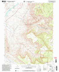
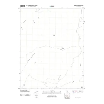
 2001 Buckeye Reservoir2004 Print · USGSThe Colorado-Utah border country at the start of the twenty-first century is defined by its high plateaus and the vital waters of the Buckeye Reservoir. Researchers can trace old 4WD tracks through the Manti-La Sal National Forest to find remote landmarks like Pine Flat and the Prospect above Sinbad Valley.
 - 2001 Map of Fisher Towers, 2004 Print
 2001 Fisher Towers2004 Print · USGSThe Colorado River corridor near Moab appears here at the turn of the century, showing a landscape defined by massive sandstone spires and deep desert canyons. Genealogists and historians can locate the Richardson (Site), trace the boundary of the Manti-La Sal National Forest, and identify remote landmarks like Titus Ranch.
 - 2010 Map of Green River, 2010 Print
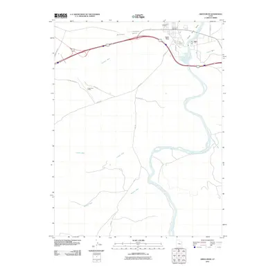 2010 Green River2010 Print · USGSCovers Grand County, including Green River, Emery County, and other nearby areas
 - 2010 Map of Green River NE, 2010 Print
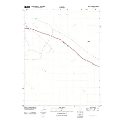 2010 Green River NE2010 Print · USGSCovers Grand County, including Green River, Emery County, and other nearby areas
 - 2010 Map of Green River SE, 2010 Print
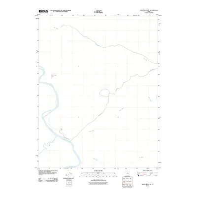 2010 Green River SE2010 Print · USGSCovers Grand County, including Emery County, United States, and other nearby areas
 - 2010 Map of Horse Bench East, 2010 Print
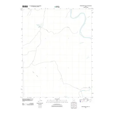 2010 Horse Bench East2010 Print · USGSCovers Grand County, including Emery County, United States, and other nearby areas
 - 2010 Map of Rill Creek, 2010 Print
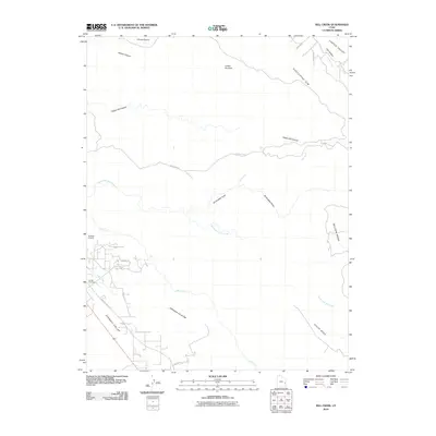 2010 Rill Creek2010 Print · USGSCovers Grand County, including Castle Valley, United States, and other nearby areas
 - 2010 Map of Klondike Bluffs, 2010 Print
 2010 Klondike Bluffs2010 Print · USGSCovers Grand County, including United States, Utah, and other nearby areas
 - 2010 Map of Mollie Hogans, 2010 Print
 2010 Mollie Hogans2010 Print · USGSCovers Grand County, including United States, Utah, and other nearby areas
 - 2010 Map of Cisco, 2010 Print
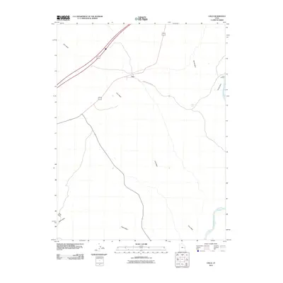 2010 Cisco2010 Print · USGSCovers Grand County, including Cisco, United States, and other nearby areas
 - 2010 Map of Dee Pass, 2010 Print
 2010 Dee Pass2010 Print · USGSCovers Grand County, including United States, Utah, and other nearby areas
 - 2010 Map of Cisco SW, 2010 Print
 2010 Cisco SW2010 Print · USGSCovers Grand County, including United States, Utah, and other nearby areas
 - 2010 Map of Kane Springs, 2010 Print
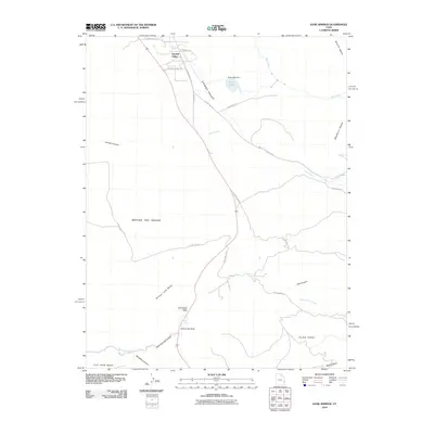 2010 Kane Springs2010 Print · USGSCovers Grand County, including Spanish Valley, San Juan County, and other nearby areas
 - 2010 Map of Hatch Mesa, 2010 Print
 2010 Hatch Mesa2010 Print · USGSCovers Grand County, including United States, Utah, and other nearby areas
 - 2010 Map of Dubinky Wash, 2010 Print
 2010 Dubinky Wash2010 Print · USGSCovers Grand County, including United States, Utah, and other nearby areas
 - 2010 Map of Big Triangle, 2010 Print
 2010 Big Triangle2010 Print · USGSCovers Grand County, including United States, Utah, and other nearby areas
 - 2010 Map of Crescent Junction, 2010 Print
 2010 Crescent Junction2010 Print · USGSCovers Grand County, including United States, Utah, and other nearby areas
 - 2010 Map of Jug Rock, 2010 Print
 2010 Jug Rock2010 Print · USGSCovers Grand County, including United States, Utah, and other nearby areas
Showing maps 1-25 of 429
Top cities of Grand County
Frequently asked questions
- What are the different types of historical maps available for Grand County?
- What is the oldest map of Grand County?
- Where can I purchase historical maps of Grand County for my home or office?
- Where can I download high-res historical maps of Grand County?
- Are there historical topographic maps available for Grand County?
- Is there historical aerial imagery available for Grand County?
- Where are historical maps of Grand County sourced from?