2010s Maps of Grand County, Utah
Explore 255 historic maps of Grand County from the 2010s. These maps offer a rare glimpse into what life looked like during the 2010s — showing old roads, neighborhoods, homes, and landmarks that have changed or disappeared over time.
Whether you're researching your family's past, planning a metal detecting trip, or studying how Grand County's landscape evolved across the 2010s, these high-resolution maps are a powerful tool for exploring the history of this region.
- Focus on a specific era: All maps on this page are from the 2010s, giving you a focused view of this time period.
- See what’s changed: Compare century-old streets, trails, and buildings to today's modern landscape using overlays and satellite layers.
- Research with precision: Use these maps for genealogy, historical research, land use analysis, or educational projects.
- View, download, or print: Maps are fully viewable online in high resolution, and can be downloaded or printed for your own records.
Start exploring Grand County's history through authentic maps from the 2010s. This is your window into the past.
Grand County, UT maps
(255)- 2010 Map of Green River, 2010 Print
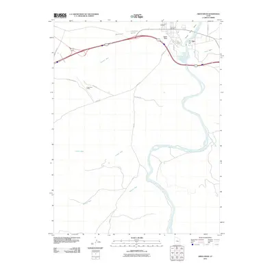 2010 Green River2010 Print · USGSGreen River and the settlement of Elgin are captured at the river's edge in 2010. Genealogists and local historians can trace landmarks like the Green River Cemetery, the Green River Post Office, and several desert routes including the Flint Trl.
 - 2010 Map of Green River NE, 2010 Print
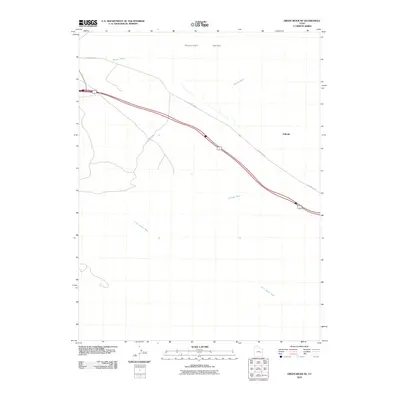 2010 Green River NE2010 Print · USGSThe Gunnison Valley in the early twenty-first century remains a stark landscape defined by the historic railroad corridor and old thoroughfares. Researchers can trace the path of Old Hwy Elgin past the settlement of Solitude and across the desert drainages of Little Grand Wash.
 - 2010 Map of Green River SE, 2010 Print
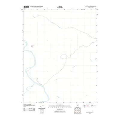 2010 Green River SE2010 Print · USGSGrand County ranching and river geography are captured here in the early twenty-first century. You can trace the confluence of the Green River and San Rafael River or locate remote landmarks like Ruby Ranch and the distinctive Dellenbaugh Butte.
 - 2010 Map of Horse Bench East, 2010 Print
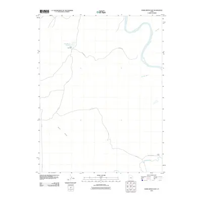 2010 Horse Bench East2010 Print · USGSGrand County ranching and river geography are documented here just after the turn of the millennium. Researchers can trace historic desert routes like Flint Trl and find the site of the Chaffin Ranch near the San Rafael River.
 - 2010 Map of Rill Creek, 2010 Print
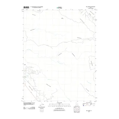 2010 Rill Creek2010 Print · USGSSoutheastern Utah's canyon country comes into focus in this late-career survey of the red-rock corridors and mesa tops. Trace the local topography from Sunbird Airport across the Porcupine Rim to landmarks like Coffee Pot Rock and Sunset Cemetery.
 - 2010 Map of Klondike Bluffs, 2010 Print
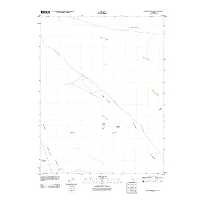 2010 Klondike Bluffs2010 Print · USGSGrand County’s high desert is captured here in the early twenty-first century, centered on the northern reaches of a famous red rock landscape. Geologists and hikers can locate specific formations like Tower Arch, Anniversary Arch, and the towering Dark Angel spire.
 - 2010 Map of Mollie Hogans, 2010 Print
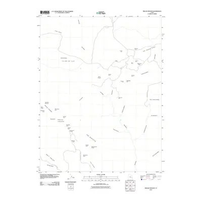 2010 Mollie Hogans2010 Print · USGSGrand County's desert landscape was captured in the early twenty-first century, balancing the iconic features of Arches National Park with a legacy of prospecting. Researchers can locate natural wonders like Landscape Arch alongside historic extraction sites such as Ringtail Mine and Parco Mines.
 - 2010 Map of Cisco, 2010 Print
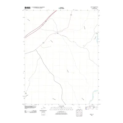 2010 Cisco2010 Print · USGSThe eastern Utah desert near the Colorado River is captured here in the early twenty-first century. Researchers can trace the layout of the Cisco settlement and follow the paths of Cisco Wash and Danish Wash as they cut through the arid landscape toward Cisco Landing.
 - 2010 Map of Dee Pass, 2010 Print
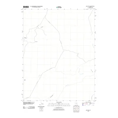 2010 Dee Pass2010 Print · USGSGrand County, Utah, in the early twenty-first century reveals a landscape of desert corridors and dramatic landforms. Trace the remote routes of Ruby Ranch Rd and Dubinky Well Rd past landmarks like Dee Pass and Duma Point.
 - 2010 Map of Cisco SW, 2010 Print
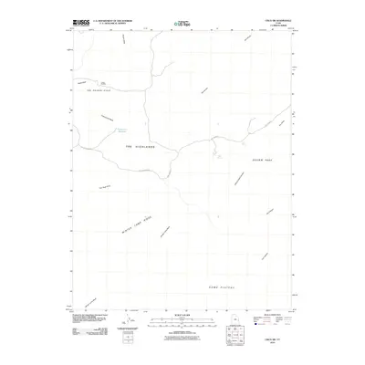 2010 Cisco SW2010 Print · USGSGrand County's high desert reveals its mineral and water history in the years before the modern digital transition. Researchers can locate remote sites like the Cactus Rat Mine and vital springs such as Caves Spring and Auger Spring.
 - 2010 Map of Kane Springs, 2010 Print
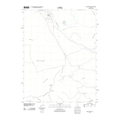 2010 Kane Springs2010 Print · USGSSpanish Valley and the high mesas of San Juan County are documented here during a period of modern desert habitation. Researchers can trace the water systems of Kens Lake or locate landmarks like Hole-in-the-Rock and Kane Spring.
 - 2010 Map of Hatch Mesa, 2010 Print
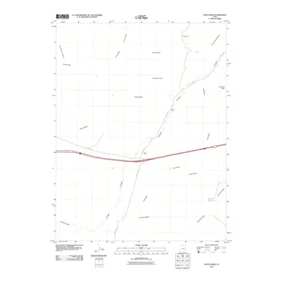 2010 Hatch Mesa2010 Print · USGSGrand County, Utah, is shown here as a landscape of desert washes and mesa tops in the early twenty-first century. Researchers can trace the path of Old Hwy Elgin past the settlement of Floy or locate remote outposts like Hatch Ranch.
 - 2010 Map of Dubinky Wash, 2010 Print
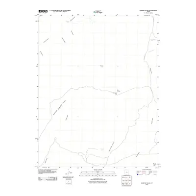 2010 Dubinky Wash2010 Print · USGSGrand County’s plateau country is revealed in this 2010 study of the high desert and its critical water sources. You can trace the path of the Dubinky Well Rd past prominent landmarks like Tombstone Butte and Dripping Spring.
 - 2010 Map of Big Triangle, 2010 Print
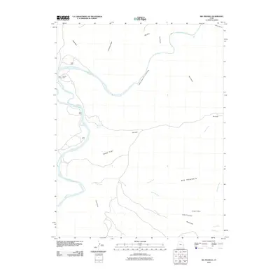 2010 Big Triangle2010 Print · USGSEastern Utah's canyon country remains a land of isolated ranches and river crossings in the early twenty-first century. Researchers can trace historic river access at Cisco Landing or locate remote family holdings such as Revoir Ranch and Hallet Ranch.
 - 2010 Map of Crescent Junction, 2010 Print
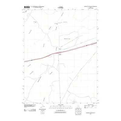 2010 Crescent Junction2010 Print · USGSGrand County, Utah, is shown as a critical high-desert crossroads at the start of the 2010s. Researchers can trace the infrastructure of this transport corridor from the settlement of Brendel to geographic landmarks like Horse Heaven and Crescent Wash Reservoir.
 - 2010 Map of Jug Rock, 2010 Print
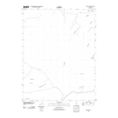 2010 Jug Rock2010 Print · USGSGrand County's high desert landscape comes into focus at the start of the decade, showing the network of roads and canyons west of the airport. You can trace routes along Bartlett Flat and locate geological landmarks like Jug Rock and the Determination Towers.
 - 2010 Map of Dewey, 2010 Print
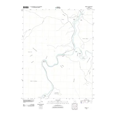 2010 Dewey2010 Print · USGSThe Colorado River corridor near the Dolores River confluence was a land of isolated ranching outposts and river crossings in the early twenty-first century. Researchers can trace land use at Gordon Ranch, the historic crossing at Dewey Bridge, and the unique geography of the Mule Shoe.
 - 2010 Map of Shafer Basin, 2010 Print
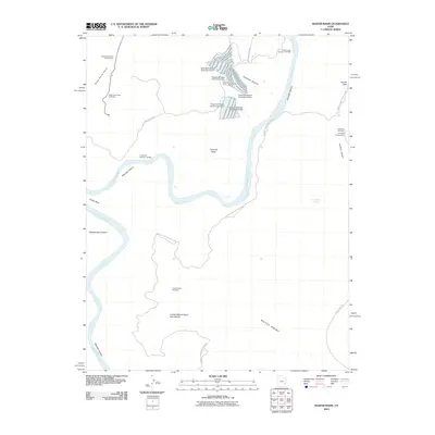 2010 Shafer Basin2010 Print · USGSThe high plateaus of San Juan County are documented here in the early twenty-first century as industrial potash mining meets protected wilderness. Trace the deep bends of Meander Canyon or locate family-named sites like the Frank Shafer Number 1 Oil Well and Pyramid Butte.
 - 2010 Map of Upheaval Dome, 2010 Print
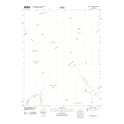 2010 Upheaval Dome2010 Print · USGSCanyonlands National Park in the early 2000s is centered on the massive geological mystery of Upheaval Dome and the Island in the Sky plateau. Researchers can trace technical backcountry routes through Syncline Valley or locate landmarks like Zeus and Moses and Valentine Bottom.
 - 2010 Map of White House, 2010 Print
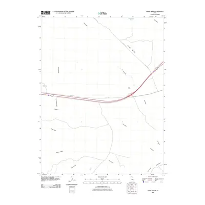 2010 White House2010 Print · USGSGrand County, Utah, was still defined by its high-desert topography and scattered waypoints during the early twenty-first century. Researchers can trace the path of Old Hwy Cisco and locate White House among local landmarks like Dead Sheep Pond and Windy Mesa.
 - 2010 Map of Valley City, 2010 Print
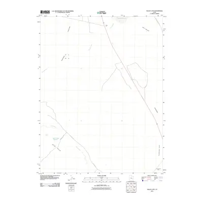 2010 Valley City2010 Print · USGSGrand County's high desert reaches come into focus in the early twenty-first century, showing the remote settlement of Valley City. Researchers can trace old desert tracks like Dubinky Well Rd and locate vital water points including Crystal Spring and the Valley City Reservoir.
 - 2010 Map of Gold Bar Canyon, 2010 Print
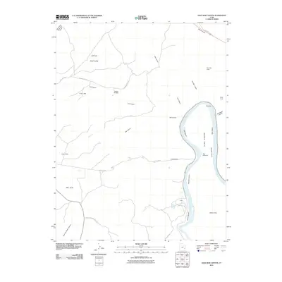 2010 Gold Bar Canyon2010 Print · USGSGrand County at the turn of the decade is defined by the deep canyons of the Colorado River and the rugged sandstone formations surrounding Moab. Researchers can trace the winding river corridor past Potash to find landmarks like Gemini Bridges and Gold Bar Arch.
 - 2010 Map of Trough Springs Canyon, 2010 Print
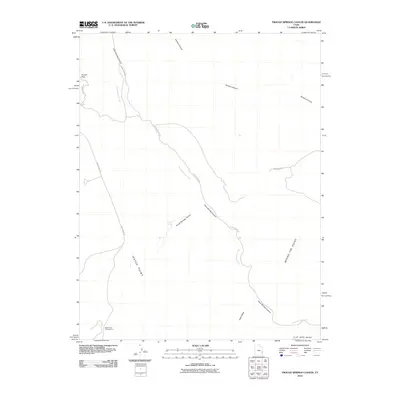 2010 Trough Springs Canyon2010 Print · USGSSan Juan County at the start of the 21st century reveals a landscape defined by deep canyons and high plateaus. Trace remote desert routes along Kane Spring Rd and locate landmarks like Trough Spring and the Hatch Point Campground.
 - 2011 Map of Tenmile Point, 2011 Print
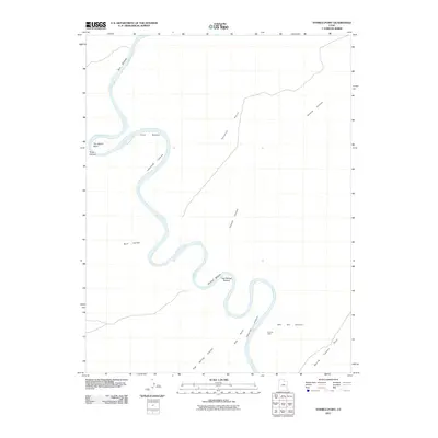 2011 Tenmile Point2011 Print · USGSThe Green River meanders through a labyrinth of deep canyons and alluvial bottoms in Grand County during the early twenty-first century. Researchers can trace the remote geography of Labyrinth Canyon and locate industrial landmarks like the Hey Joe Mine and Trin-Alcove Bend.
 - 2011 Map of Bowknot Bend, 2011 Print
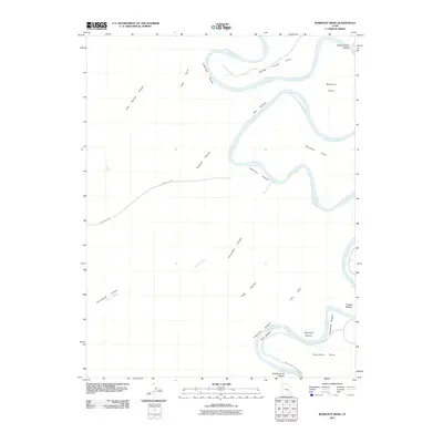 2011 Bowknot Bend2011 Print · USGSThe Green River loops through the Utah desert in the years before the modern era, defining a landscape of deep canyons and isolated river bottoms. Trace the winding river path through Bowknot Bend and Labyrinth Canyon past historic sites like Horsethief Bottom and Deadman Point.
Showing maps 1-25 of 255
Top cities of Grand County
Frequently asked questions
- What are the different types of historical maps available for Grand County?
- What is the oldest map of Grand County?
- Where can I purchase historical maps of Grand County for my home or office?
- Where can I download high-res historical maps of Grand County?
- Are there historical topographic maps available for Grand County?
- Is there historical aerial imagery available for Grand County?
- Where are historical maps of Grand County sourced from?