2020s Maps of Grand County, Utah
Explore 165 historic maps of Grand County from the 2020s. These maps offer a rare glimpse into what life looked like during the 2020s — showing old roads, neighborhoods, homes, and landmarks that have changed or disappeared over time.
Whether you're researching your family's past, planning a metal detecting trip, or studying how Grand County's landscape evolved across the 2020s, these high-resolution maps are a powerful tool for exploring the history of this region.
- Focus on a specific era: All maps on this page are from the 2020s, giving you a focused view of this time period.
- See what’s changed: Compare century-old streets, trails, and buildings to today's modern landscape using overlays and satellite layers.
- Research with precision: Use these maps for genealogy, historical research, land use analysis, or educational projects.
- View, download, or print: Maps are fully viewable online in high resolution, and can be downloaded or printed for your own records.
Start exploring Grand County's history through authentic maps from the 2020s. This is your window into the past.
Grand County, UT maps
(165)- 2020 Map of Black Knolls, 2020 Print
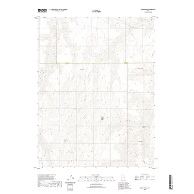 2020 Black Knolls2020 Print · USGSThe high desert canyons of the Uintah and Grand County border are documented here in the early twenty-first century. Researchers can trace the rugged livestock-named geography of the region through landmarks like Picket Corral Ridge and Steer Ridge.
 - 2020 Map of Moonwater Point, 2020 Print
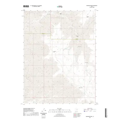 2020 Moonwater Point2020 Print · USGSUintah and Grand counties are captured in the contemporary era, showcasing a high-plateau landscape defined by deep drainages and vital water sources. Researchers can trace the geography of the East Tavaputs Plateau through Moonwater Point, Pinto Springs, and Anna Laura Spring.
 - 2020 Map of Floy Canyon North, 2020 Print
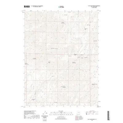 2020 Floy Canyon North2020 Print · USGSGrand County, Utah, is shown in the modern era as a complex high-desert landscape of ridges and deep canyon systems. Researchers can trace historic water sources and rugged landmarks like Wagon Road Ridge, Weaver Reservoir, and Showerbath Spring.
 - 2020 Map of P R Spring, 2020 Print
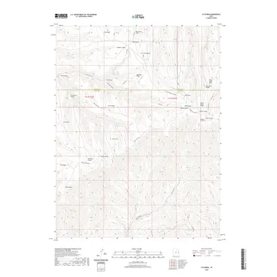 2020 P R Spring2020 Print · USGSUintah and Grand Counties are captured here in the 2020s, showing a remote landscape of high ridges and deep canyons. Researchers can trace the path of Bookcliff Ridge Rd and locate landmarks like Mexico Point or Hideout Canyon.
 - 2020 Map of Antone Canyon, 2020 Print
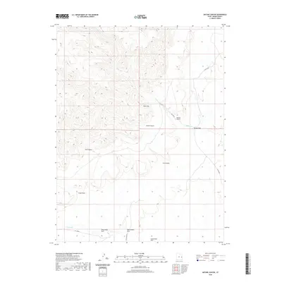 2020 Antone Canyon2020 Print · USGSGrand County's high desert landscape is documented here in the early twenty-first century, showing the drainage systems below the massive Book Cliffs. Researchers can trace remote routes like Sulphur Rd to reach Cato Springs or Antone Canyon.
 - 2020 Map of Preacher Canyon, 2020 Print
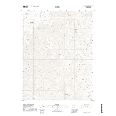 2020 Preacher Canyon2020 Print · USGSGrand County's high mesa country is documented here in the early twenty-first century, showing a remote landscape of deep canyons and plateaus. Researchers can trace historic ridgeline routes like Moon Ridge Rd and locate local landmarks such as Rock Spring and Westwater Point.
 - 2020 Map of Supply Canyon, 2020 Print
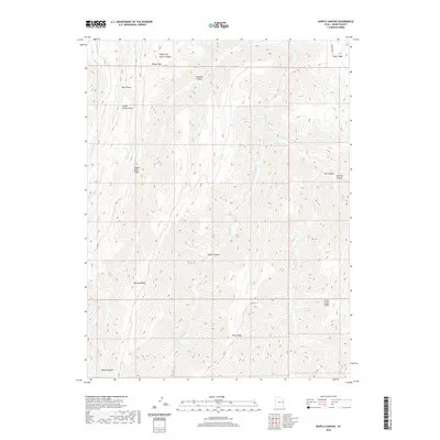 2020 Supply Canyon2020 Print · USGSGrand County’s high ridge country is captured in the modern era, revealing a complex network of canyons and upland paths. Researchers can trace historic land use and travel routes across Wagon Road Ridge, Mormon Ridge, and Supply Canyon.
 - 2020 Map of Tenmile Canyon North, 2020 Print
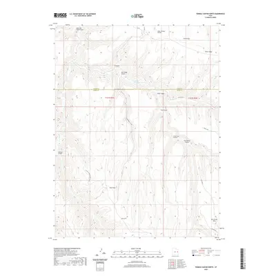 2020 Tenmile Canyon North2020 Print · USGSThe high plateau country of the Uintah and Grand County border is captured here in the early twenty-first century. Researchers can trace the rugged drainage networks of Tenmile Canyon and find landmarks like Cedar Camp and Moon Ridge.
 - 2020 Map of Calf Canyon, 2020 Print
 2020 Calf Canyon2020 Print · USGSGrand County, Utah, is shown in the modern era as a high-desert landscape defined by the towering Book Cliffs. Researchers can trace old grazing routes and water sources like Bull Pasture, W Nash Wash Wells, and the winding Strychnine Wash.
 - 2020 Map of Bogart Canyon, 2020 Print
 2020 Bogart Canyon2020 Print · USGSThe high desert canyons of Grand County are documented here in the early twenty-first century, showing a landscape defined by seasonal washes and prominent ridges. Researchers can locate specific geographic markers like Surveyors Hole, Oak Springs, and Hells Hole.
 - 2020 Map of Cedar Camp Canyon, 2020 Print
 2020 Cedar Camp Canyon2020 Print · USGSThe high plateaus on the Uintah and Grand County border are documented here in 2020, showing a landscape defined by deep canyons and isolated ridges. Researchers can trace the remote routes of Book Cliff Ridge Rd and locate vital water sources like Cedar Camp Spring and Shale Spring.
 - 2020 Map of Tepee Canyon, 2020 Print
 2020 Tepee Canyon2020 Print · USGSGrand County’s high plateau country is captured here in the contemporary era, showing a landscape defined by deep canyon drainages and high ridges. Researchers can trace the steep topography from Diamond Ridge down through Tepee Canyon and Bear Canyon.
 - 2020 Map of Floy Canyon South, 2020 Print
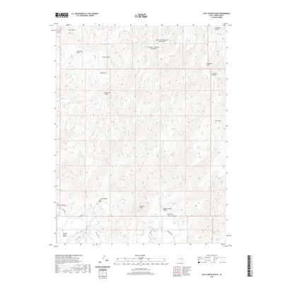 2020 Floy Canyon South2020 Print · USGSGrand County’s high desert landscape is shown here in the 2020s, a region defined by the dramatic drop-offs of the Book Cliffs. Researchers can trace the drainage of Floy Canyon Wash and locate vital water sources like Tom Spring and Cub Spring.
 - 2020 Map of Westwater, 2020 Print
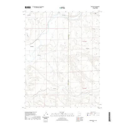 2020 Westwater2020 Print · USGSWestwater and the high desert mesas of the Utah-Colorado border are documented here in the early twenty-first century. Researchers can trace the path of the Colorado River through Ruby Canyon and locate local landmarks like Snyder Mesa and Bitter Cr.
 - 2020 Map of Chicken Fork, 2020 Print
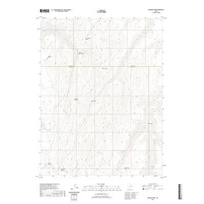 2020 Chicken Fork2020 Print · USGSUintah and Grand counties are captured here in the early twenty-first century, showcasing a high-desert landscape defined by complex canyon systems. Local historians can trace traditional livestock routes through Little Doggie Canyon and locate vital water sources like Post Canyon Spring.
 - 2020 Map of Dry Canyon, 2020 Print
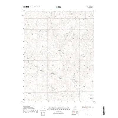 2020 Dry Canyon2020 Print · USGSThe high plateaus and deep drainages of Grand County are captured here in the years following the turn of the millennium. Researchers can trace remote routes like Book Cliff Ridge Rd and identify specific local landmarks like Potato Hill and Pear Park.
 - 2020 Map of Harley Dome, 2020 Print
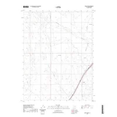 2020 Harley Dome2020 Print · USGSGrand County, Utah, is captured here in its modern desert state, where the interstate and rail lines intersect the vastness of Grand Valley. Researchers can trace the layout of the Westwater Airport and follow old backcountry routes like Mac Intyre Cutoff and Book Cliff Ridge Rd.
 - 2020 Map of Flume Canyon, 2020 Print
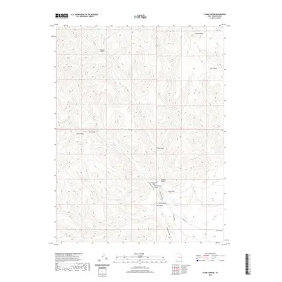 2020 Flume Canyon2020 Print · USGSGrand County’s dramatic escarpments are meticulously detailed in this recent survey of the high desert. Researchers can trace the winding paths of Cottonwood Canyon Rd and Diamond Canyon Rd through Book Cliffs and past Cato Springs.
 - 2020 Map of Bobby Canyon South, 2020 Print
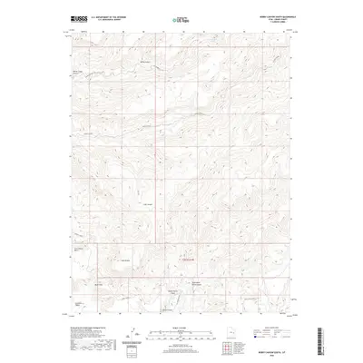 2020 Bobby Canyon South2020 Print · USGSGrand County's desert interior in 2020 remains a landscape of deep canyons and high plateaus north of the Colorado River. Researchers can trace historic stock routes and water sources like Cottonwood Spring, Tusher Canyon, and the prominent Book Cliffs.
 - 2020 Map of Tenmile Canyon South, 2020 Print
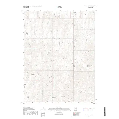 2020 Tenmile Canyon South2020 Print · USGSGrand County's high ridges and deep drainages are captured in this recent survey of eastern Utah's canyon country. Researchers can trace the winding path of Moon Ridge Rd past remote landmarks like Tenmile Knoll and Kelly Spring.
 - 2020 Map of Lion Canyon, 2020 Print
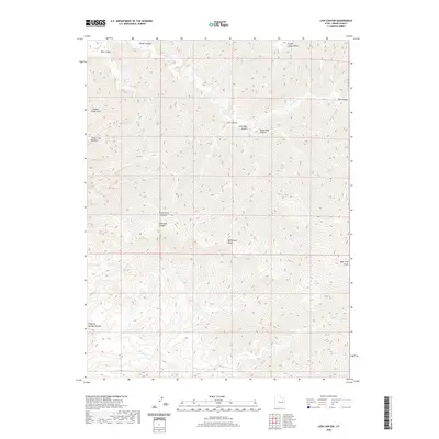 2020 Lion Canyon2020 Print · USGSGrand County's high-elevation desert is captured here in the years following the turn of the millennium. Outdoor researchers can trace the intricate drainages of Florence Cr or locate specific landmarks like Broken Finger Arch and the McPherson Range.
 - 2020 Map of Bobby Canyon North, 2020 Print
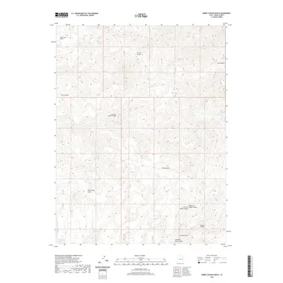 2020 Bobby Canyon North2020 Print · USGSGrand County's high desert plateaus are revealed in this recent survey of the rugged drainage systems north of the Colorado River. Local historians can trace the topography of named landmarks like Poverty Bench, Flat Nose George Canyon, and the vital waters of Oak Spring.
 - 2020 Map of Cisco Springs, 2020 Print
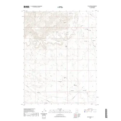 2020 Cisco Springs2020 Print · USGSGrand County's high desert landscape is documented here in the early twenty-first century, showing the intricate drainages and mesas near the Colorado border. Researchers can trace historic water sources and named landmarks like Cisco Springs, Strychnine Pond, and the Book Cliffs.
 - 2020 Map of Bar X Wash, 2020 Print
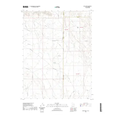 2020 Bar X Wash2020 Print · USGSThe high desert along the Utah-Colorado border is mapped here in the early twenty-first century, showing a landscape defined by industrial gas extraction and deep canyons. Researchers can trace the remote road networks like Mac Intyre Cutoff and energy sites including the Bar X Gas Field.
 - 2020 Map of Danish Flat, 2020 Print
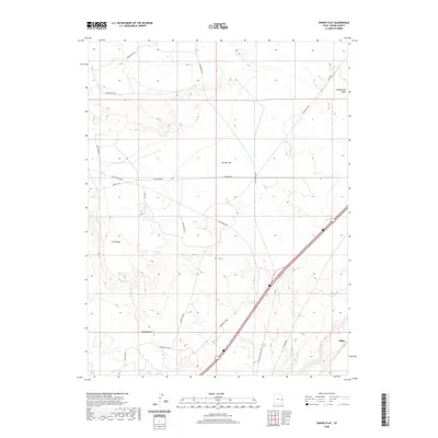 2020 Danish Flat2020 Print · USGSGrand County’s high desert landscape and industrial infrastructure are documented in this modern survey. Researchers can trace the intersection of rail and energy history at Agate, the Agate Oil Field, and named landmarks like Cisco Mesa.
Showing maps 1-25 of 165
Top cities of Grand County
Frequently asked questions
- What are the different types of historical maps available for Grand County?
- What is the oldest map of Grand County?
- Where can I purchase historical maps of Grand County for my home or office?
- Where can I download high-res historical maps of Grand County?
- Are there historical topographic maps available for Grand County?
- Is there historical aerial imagery available for Grand County?
- Where are historical maps of Grand County sourced from?