2020s Maps of Kane County, Utah
Explore 184 historic maps of Kane County from the 2020s. These maps offer a rare glimpse into what life looked like during the 2020s — showing old roads, neighborhoods, homes, and landmarks that have changed or disappeared over time.
Whether you're researching your family's past, planning a metal detecting trip, or studying how Kane County's landscape evolved across the 2020s, these high-resolution maps are a powerful tool for exploring the history of this region.
- Focus on a specific era: All maps on this page are from the 2020s, giving you a focused view of this time period.
- See what’s changed: Compare century-old streets, trails, and buildings to today's modern landscape using overlays and satellite layers.
- Research with precision: Use these maps for genealogy, historical research, land use analysis, or educational projects.
- View, download, or print: Maps are fully viewable online in high resolution, and can be downloaded or printed for your own records.
Start exploring Kane County's history through authentic maps from the 2020s. This is your window into the past.
Kane County, UT maps
(184)- 2020 Map of Rainbow Bridge, 2020 Print
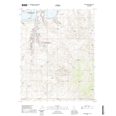 2020 Rainbow Bridge2020 Print · USGSThe Arizona-Utah borderlands are shown here in 2020, centered on the sandstone architecture of Rainbow Bridge National Monument. Modern researchers can trace the drainages from Navajo Mountain past Rainbow Lodge Spring and through Redbud Pass.
 - 2020 Map of Wilson Creek, 2020 Print
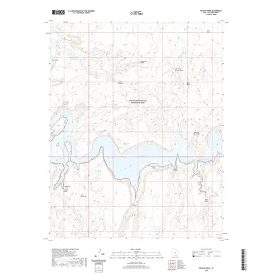 2020 Wilson Creek2020 Print · USGSSan Juan County at the start of the 2020s reveals a wilderness landscape shaped by the waters of the San Juan River. Researchers and outdoor enthusiasts can trace prominent geological features like Old Settler Natural Bridge, Grey Mesa, and the Glass Mountains.
 - 2020 Map of Stevens Canyon North, 2020 Print
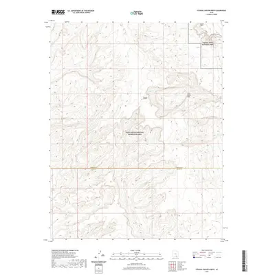 2020 Stevens Canyon North2020 Print · USGSThe high desert of southern Utah comes into focus in this 2020 study of the geological transition between two major federal preserves. Researchers can trace the complex drainage through Stevens Canyon and the notable Halls Creek and Narrows along the Water Pocket Fold.
 - 2020 Map of Bullfrog, 2020 Print
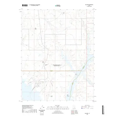 2020 Bullfrog2020 Print · USGSThe recreation and desert landscapes of Kane County are documented in the modern era as the waters of Lake Powell meet the high mesas. Trace the roads and water access at Bullfrog, the Bullfrog Marina, and remote landmarks like Hoskinnini Mesa.
 - 2020 Map of Alcove Canyon, 2020 Print
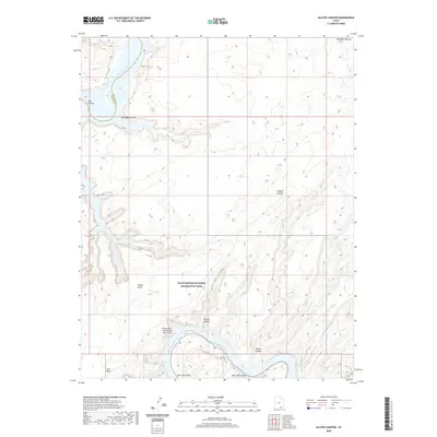 2020 Alcove Canyon2020 Print · USGSSan Juan County, Utah, is shown in the early twenty-first century as a landscape of deep canyons and high mesas within the Glen Canyon National Recreation Area. Trace the winding San Juan River to the Great Bend of the San Juan River or explore the heights of Wilson Mesa.
 - 2020 Map of Stevens Canyon South, 2020 Print
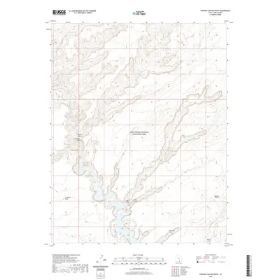 2020 Stevens Canyon South2020 Print · USGSKane County's desert canyons and natural arches are documented in this recent survey of the southern Escalante region. Hikers and explorers can trace the winding paths of Coyote Gulch and the Escalante River to find landmarks like Stevens Arch.
 - 2020 Map of Halls Crossing, 2020 Print
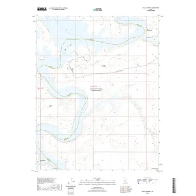 2020 Halls Crossing2020 Print · USGSHalls Crossing and the surrounding canyons are captured here during the twenty-first century as part of the managed landscape of Lake Powell. Local history researchers can trace the modern shoreline against landmarks like Iron Top Mesa, Moqui Canyon, and the Amphitheater.
 - 2020 Map of Davis Gulch, 2020 Print
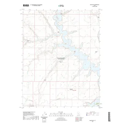 2020 Davis Gulch2020 Print · USGSThe Escalante River and Lake Powell canyons are captured here in the 2020s, showing the modern topography of this desert wilderness. Researchers can trace the historic Hole in the Rock Rd and locate landmarks like LaGorce Arch and Cathedral in the Desert.
 - 2020 Map of The Rincon NE, 2020 Print
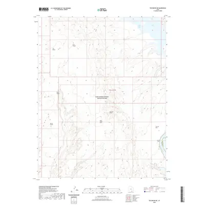 2020 The Rincon NE2020 Print · USGSSan Juan County’s canyon country is shown here in the late twenty-teens, where the rising waters of the Colorado meet ancient stone. Researchers can trace the geological spine of the Water Pocket Fold or explore the inlets of Halls Creek Bay and Lost Eden Canyon.
 - 2020 Map of The Rincon, 2020 Print
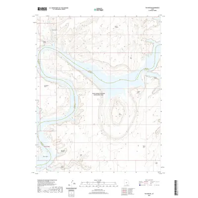 2020 The Rincon2020 Print · USGSThe Colorado River and Lake Powell wind through the high desert of San Juan County in the early twenty-first century. Geologists and explorers can trace unique formations like The Rincon, Bell Tower Window, and the high reaches of Wilson Mesa.
 - 2020 Map of Hall Mesa, 2020 Print
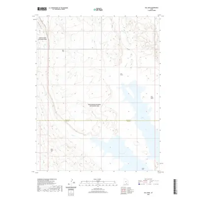 2020 Hall Mesa2020 Print · USGSThe high desert of Kane and Garfield counties meets the rising waters of the Colorado River system in this contemporary survey. Geologists and hikers can trace the Burr Trl as it approaches the Water Pocket Fold and the remote Halls Creek and Narrows.
 - 2020 Map of Nasja Mesa, 2020 Print
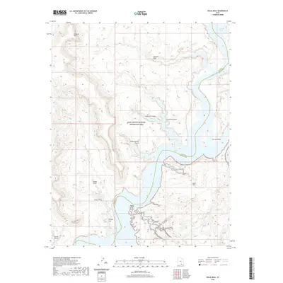 2020 Nasja Mesa2020 Print · USGSThe intricate canyons and mesas of San Juan County are documented in the contemporary era, showing the intersection of high desert and reservoir. Trace the deep drainages of Anasazi Canyon and Reflection Canyon or locate the geologic landmark of Twilight Arch.
 - 2020 Map of Tibbet Bench, 2020 Print
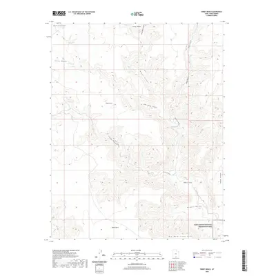 2020 Tibbet Bench2020 Print · USGSKane County's high plateaus and canyon networks are documented here in the early twenty-first century. Researchers can trace remote desert routes like Smokey Hollow Rd and locate vital water sources including Clints Spring and Tibbet Spring.
 - 2020 Map of Gregory Butte, 2020 Print
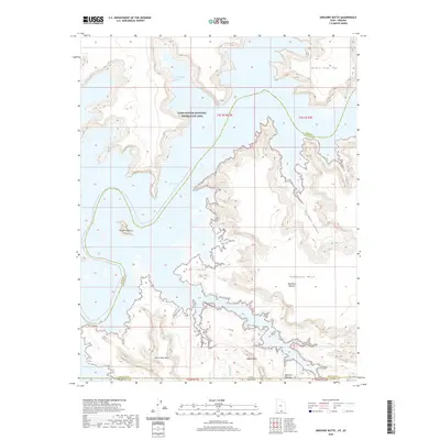 2020 Gregory Butte2020 Print · USGSThe high desert and deep waters of the Arizona-Utah border are captured here in the contemporary era. Researchers can trace the winding shorelines of Lake Powell and find specific landmarks like Gregory Butte and Adeiyi Taah Hooti.
 - 2020 Map of Cathedral Canyon, 2020 Print
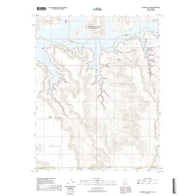 2020 Cathedral Canyon2020 Print · USGSThe Utah and Arizona borderlands meet at the waters of Lake Powell in this modern topographic survey. Researchers can trace the complex geography of the Rainbow Plateau and identify local landmarks like Keyhole Arch, Cathedral Butte, and Teddys Horse Pasture.
 - 2020 Map of Sit Down Bench, 2020 Print
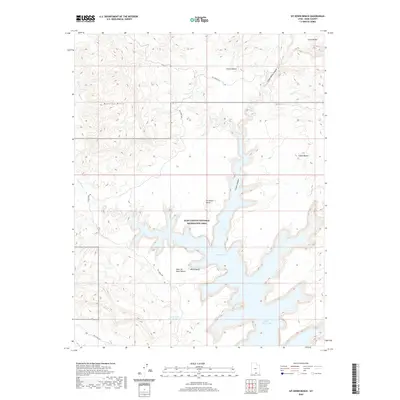 2020 Sit Down Bench2020 Print · USGSSouthern Utah's high desert plateaus meet the rising waters of the Colorado River system in the modern era. Trace the intersection of remote landforms like Sit Down Bench and Grand Bench with the inlets of Lake Powell and Last Chance Bay.
 - 2020 Map of Needle Eye Point, 2020 Print
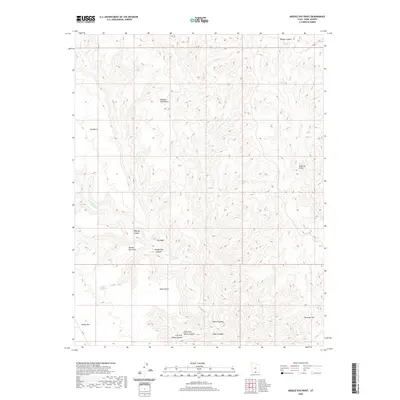 2020 Needle Eye Point2020 Print · USGSKane County's dramatic terrain is captured here in the early twenty-first century, showing a landscape of named benches and deep canyons. Geologists and explorers can trace the complex drainage of Last Chance Cr and locate remote features like Window Sash Bench and Needle Eye Water.
 - 2020 Map of Ship Mountain Point, 2020 Print
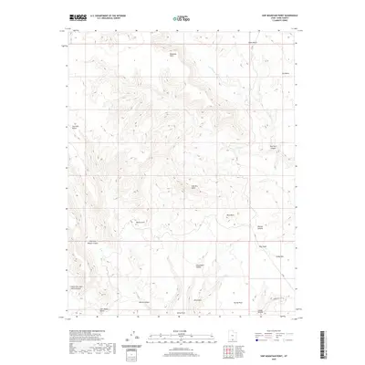 2020 Ship Mountain Point2020 Print · USGSSouthern Utah's high plateau country is captured here in the contemporary era, showing a remote landscape of massive benches and deep canyons. Researchers can trace the rugged geography of Ship Mtn Point and identify landmarks like Pilot Rock and Smoky Mtn.
 - 2020 Map of Calico Peak, 2020 Print
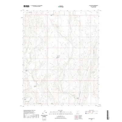 2020 Calico Peak2020 Print · USGSThe high desert of Kane County in 2020 remains a landscape of deep canyons and natural arches. Researchers can locate the settlement of Paria and trace features like Sam Pollock Arch, No Mans Mesa, and Kitchen Canyon along the Paria River.
 - 2020 Map of Horse Mountain, 2020 Print
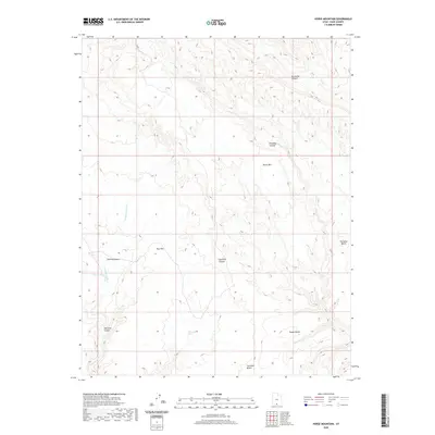 2020 Horse Mountain2020 Print · USGSKane County's high plateaus are documented in this 2020 survey of the area surrounding Horse Mtn. Researchers can trace the drainages of Tommy Smith Cr and locate high-country landmarks such as Paradise Bench and Dog Flat.
 - 2020 Map of Scorpion Gulch, 2020 Print
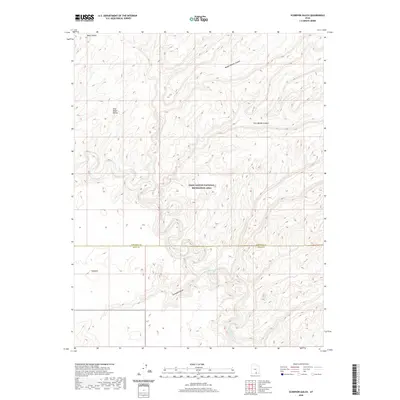 2020 Scorpion Gulch2020 Print · USGSKane and Garfield counties meet in this modern survey of the high desert and canyon country as it appeared in 2020. Researchers can trace the complex drainage of the Escalante River and find isolated landmarks like Scorpion and Baker Bench.
 - 2020 Map of Sooner Bench, 2020 Print
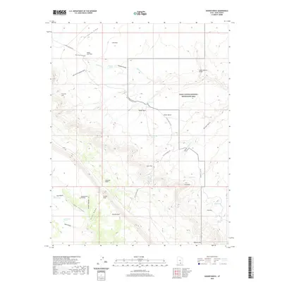 2020 Sooner Bench2020 Print · USGSThe high deserts of Kane County are defined here by the historic Hole In The Rock Rd and the massive Straight Cliffs. Researchers can trace the path of early pioneers past landmarks like Dance Hall Rock and Sunset Natural Bridge.
 - 2020 Map of Blackburn Canyon, 2020 Print
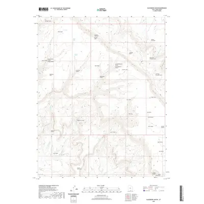 2020 Blackburn Canyon2020 Print · USGSThe Kaiparowits Plateau and the dramatic Straight Cliffs are preserved here as they appeared in the early twenty-first century. Researchers can trace the remote water sources and cattle trails that defined this region, from Indian Gardens to the Fiftymile Bench.
 - 2020 Map of Butler Valley, 2020 Print
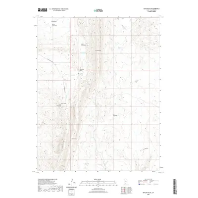 2020 Butler Valley2020 Print · USGSThis Kane County landscape is shown at the start of the 2020s, revealing the intricate network of canyons and plateaus west of the Paria River. Researchers can locate remote landmarks like Grosvenor Arch, the waters of Butler Valley Reservoir, and the geological spine of The Cockscomb.
 - 2020 Map of Mount Carmel, 2020 Print
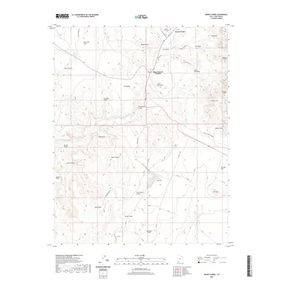 2020 Mount Carmel2020 Print · USGSThe settlements of Mount Carmel and Mount Carmel Junction occupy the strategic intersection of river and road in this 2020 Kane County survey. Researchers can trace local heritage at Mount Carmel Cem and explore the natural landmarks of White Cliffs and Dianas Throne.
Showing maps 1-25 of 184
Top cities of Kane County
- Kanab historical maps
- Orderville historical maps
- Big Water historical maps
- Glendale historical maps
- Alton historical maps
Frequently asked questions
- What are the different types of historical maps available for Kane County?
- What is the oldest map of Kane County?
- Where can I purchase historical maps of Kane County for my home or office?
- Where can I download high-res historical maps of Kane County?
- Are there historical topographic maps available for Kane County?
- Is there historical aerial imagery available for Kane County?
- Where are historical maps of Kane County sourced from?