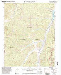
2000s (21st Century) Maps of Kane County, Utah
Explore 473 historic maps of Kane County from the 2000s (21st Century). These maps offer a rare glimpse into what life looked like during the 2000s — showing old roads, neighborhoods, homes, and landmarks that have changed or disappeared over time.
Whether you're researching your family's past, planning a metal detecting trip, or studying how Kane County's landscape evolved across the 2000s, these high-resolution maps are a powerful tool for exploring the history of this region.
- Focus on a specific era: All maps on this page are from the 2000s, giving you a focused view of this time period.
- See what’s changed: Compare century-old streets, trails, and buildings to today's modern landscape using overlays and satellite layers.
- Research with precision: Use these maps for genealogy, historical research, land use analysis, or educational projects.
- View, download, or print: Maps are fully viewable online in high resolution, and can be downloaded or printed for your own records.
Start exploring Kane County's history through authentic maps from the 2000s. This is your window into the past.
Kane County, UT maps
(473)- 2002 Map of George Mountain, 2005 Print
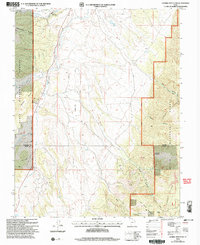 2002 George Mountain2005 Print · USGSGarfield and Kane Counties are captured here at the turn of the millennium within the high plateaus of the Dixie National Forest. Trace the path of the Sevier River and locate remote infrastructure like the Landing Strip and Panguitch Fish Hatchery.
 - 2002 Map of Podunk Creek, 2005 Print
 2002 Podunk Creek2005 Print · USGSKane County at the start of the millennium shows a landscape defined by the intersection of three major federal land reserves. Trace historic high-country routes like the Great Western Trail past the Podunk Guard Station and the geological boundary of the Pink Cliffs.
 - 2002 Map of Canaan Peak, 2005 Print
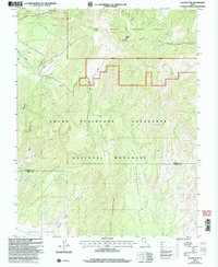 2002 Canaan Peak2005 Print · USGSGarfield and Kane counties are mapped here at the turn of the millennium, showing the transition from national forest to national monument. Trace backcountry routes through The Cockscomb or follow the Horse Spring Canyon Loop Trail past Canaan Peak.
 - 2002 Map of Straight Canyon, 2005 Print
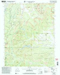
 2002 Straight Canyon2005 Print · USGSIn the early 2000s, this southern Utah wilderness remained a rugged expanse of deep drainages and high plateaus. Hikers and historians can trace the course of the North Fork Virgin River past a remote Prospect and find isolated water sources like Bulloch Spring and Lower Bear Spring.
 - 2002 Map of Strawberry Point, 2005 Print
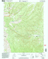
 2002 Strawberry Point2005 Print · USGSThe high plateau country of Southern Utah is captured here at the start of the millennium, showing the transition from forest to dramatic rimrock. Outdoor researchers can trace the drainage of Orderville Gulch and locate remote landmarks like Strawberry Point and the high Landing Strip.
 - 2002 Map of Webster Flat, 2005 Print
 2002 Webster Flat2005 Print · USGSThe high-plateau country of Iron County is mapped here at the start of the millennium, showing a landscape of deep canyons and prominent overlooks. Genealogists and hikers can trace family-named landmarks like Sherratt Point, Walts Flat, and Miners Peak across the Dixie National Forest.
 - 2002 Map of Bryce Point, 2005 Print
 2002 Bryce Point2005 Print · USGSAs the new millennium began, this Garfield and Kane County survey recorded the converging borders of three protected Utah landscapes. Trace ranching history at Johnson Ranch (Site) or locate geological landmarks like the Fairy Castle and Silent City.
 - 2002 Map of Navajo Lake, 2005 Print
 2002 Navajo Lake2005 Print · USGSThe high plateau of Iron County during the early 2000s reveals a landscape of striking geological formations and alpine waters. Trace the winding Virgin River Rim Trail past Navajo Peak and explore the edges of Cedar Breaks National Monument.
 - 2002 Map of Death Ridge, 2005 Print
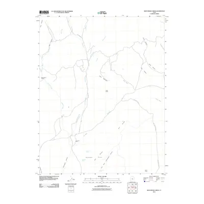
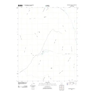
 2002 Death Ridge2005 Print · USGSThe Grand Staircase-Escalante region at the start of the twenty-first century is captured here in immense detail. Researchers can trace the rugged drainage patterns of Right Hand Collet Canyon and locate remote landmarks like Death Ridge Reservoir and Mossy Spring.
 - 2002 Map of Henrie Knolls, 2005 Print
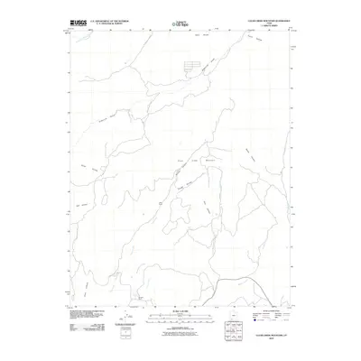
 2002 Henrie Knolls2005 Print · USGSThe Markagunt Plateau at the turn of the millennium was a hub of forest management and high-country recreation. Map collectors and hikers can trace the Lost Hunter Trail, locate the Duck Creek Work Center, and study the unique Duck Creek Sinks.
 - 2002 Map of Rainbow Point, 2005 Print
 2002 Rainbow Point2005 Print · USGSThe high plateau of southern Utah is captured here at the turn of the millennium, where national park and monument lands converge. Researchers can trace remote routes like the Under-the-Rim Trail or locate landmarks such as Swallow Park Ranch and Rainbow Point.
 - 2002 Map of Tropic Reservoir, 2005 Print
 2002 Tropic Reservoir2005 Print · USGSThe high Paunsaugunt Plateau in the early 2000s shows a complex network of forest trails and water management. Trace the Great Western Trail past Tropic Reservoir or locate features like the Natural Bridge and Buck Knoll.
 - 2002 Map of Long Valley Junction, 2005 Print
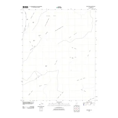
 2002 Long Valley Junction2005 Print · USGSThe high plateau country of Kane County comes into focus at the turn of the millennium, centered on the strategic crossroads of Long Valley Junction. Researchers can trace the headwaters of the East Fork Virgin River and locate remote high-country features like Mc Donald Lake and Gravel Spring.
 - 2010 Map of Deer Spring Point, 2010 Print
 2010 Deer Spring Point2010 Print · USGSCovers Kane County, including United States, Utah, and other nearby areas
 - 2010 Map of Cutler Point, 2010 Print
 2010 Cutler Point2010 Print · USGSCovers Kane County, including United States, Utah, and other nearby areas
 - 2010 Map of The Barracks, 2010 Print
 2010 The Barracks2010 Print · USGSCovers Kane County, including United States, Utah, and other nearby areas
 - 2010 Map of Orderville, 2010 Print
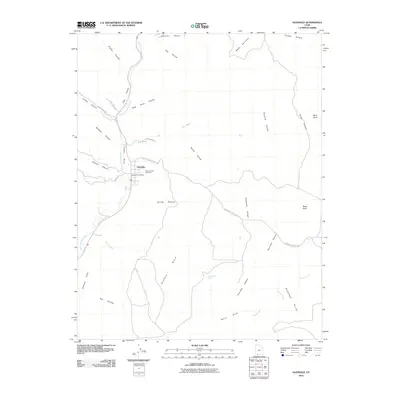
 2010 Orderville2010 Print · USGSCovers Kane County, including Orderville, Glendale, and other nearby areas
 - 2010 Map of Cogswell Point, 2010 Print
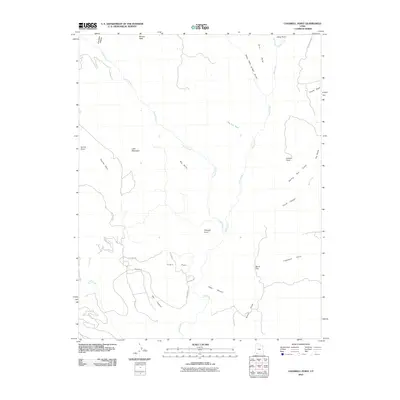 2010 Cogswell Point2010 Print · USGSCovers Kane County, including Washington County, Iron County, and other nearby areas
 - 2010 Map of Bull Valley Gorge, 2010 Print
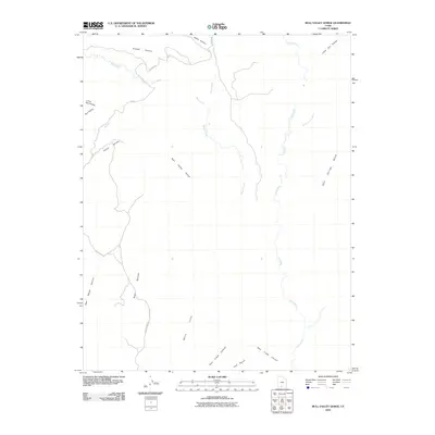 2010 Bull Valley Gorge2010 Print · USGSCovers Kane County, including United States, Utah, and other nearby areas
 - 2010 Map of Glendale, 2010 Print
 2010 Glendale2010 Print · USGSCovers Kane County, including Orderville, Glendale, and other nearby areas
 - 2010 Map of Mount Carmel, 2010 Print
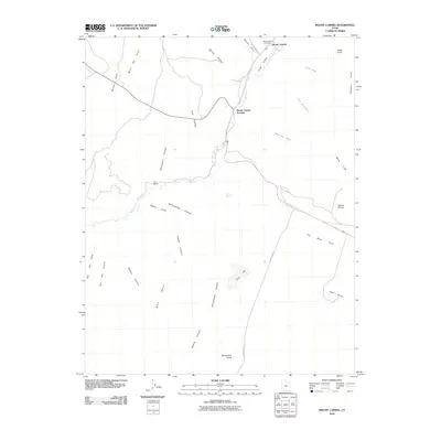 2010 Mount Carmel2010 Print · USGSCovers Kane County, including Orderville, United States, and other nearby areas
 - 2010 Map of Pine Point, 2010 Print
 2010 Pine Point2010 Print · USGSCovers Kane County, including United States, Utah, and other nearby areas
 - 2010 Map of Clear Creek Mountain, 2010 Print
 2010 Clear Creek Mountain2010 Print · USGSCovers Kane County, including United States, Utah, and other nearby areas
 - 2010 Map of Skutumpah Creek, 2010 Print
 2010 Skutumpah Creek2010 Print · USGSCovers Kane County, including Skutumpah, United States, and other nearby areas
 - 2010 Map of Deer Range Point, 2010 Print
 2010 Deer Range Point2010 Print · USGSCovers Kane County, including United States, Utah, and other nearby areas
Showing maps 1-25 of 473
Top cities of Kane County
- Kanab historical maps
- Orderville historical maps
- Big Water historical maps
- Glendale historical maps
- Alton historical maps
Frequently asked questions
- What are the different types of historical maps available for Kane County?
- What is the oldest map of Kane County?
- Where can I purchase historical maps of Kane County for my home or office?
- Where can I download high-res historical maps of Kane County?
- Are there historical topographic maps available for Kane County?
- Is there historical aerial imagery available for Kane County?
- Where are historical maps of Kane County sourced from?