2010s Maps of Kane County, Utah
Explore 276 historic maps of Kane County from the 2010s. These maps offer a rare glimpse into what life looked like during the 2010s — showing old roads, neighborhoods, homes, and landmarks that have changed or disappeared over time.
Whether you're researching your family's past, planning a metal detecting trip, or studying how Kane County's landscape evolved across the 2010s, these high-resolution maps are a powerful tool for exploring the history of this region.
- Focus on a specific era: All maps on this page are from the 2010s, giving you a focused view of this time period.
- See what’s changed: Compare century-old streets, trails, and buildings to today's modern landscape using overlays and satellite layers.
- Research with precision: Use these maps for genealogy, historical research, land use analysis, or educational projects.
- View, download, or print: Maps are fully viewable online in high resolution, and can be downloaded or printed for your own records.
Start exploring Kane County's history through authentic maps from the 2010s. This is your window into the past.
Kane County, UT maps
(276)- 2010 Map of Deer Spring Point, 2010 Print
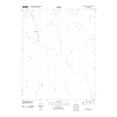 2010 Deer Spring Point2010 Print · USGSKane County's high desert plateaus are documented here in the early twenty-first century, showing a remote landscape of ranching and dramatic geology. Local history and genealogy researchers can trace the roads to Findlay Ranch or locate landmarks like No Mans Mesa and Adams Springs.
 - 2010 Map of Cutler Point, 2010 Print
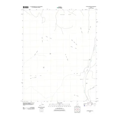 2010 Cutler Point2010 Print · USGSKane County ranching and the high plateaus of southern Utah are captured here just before the current decade. Researchers can trace the path of Johnson Wash past Bunting Ranch or locate landmarks like Cutler Point and John R Flat.
 - 2010 Map of The Barracks, 2010 Print
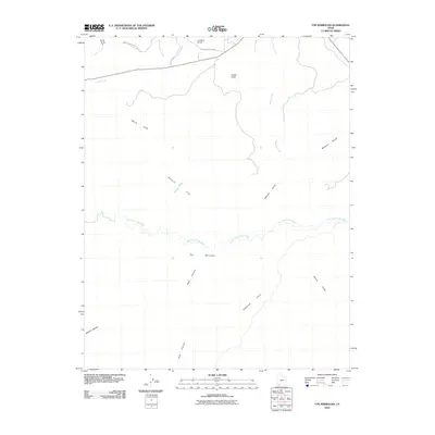 2010 The Barracks2010 Print · USGSSouthern Utah's canyon country in the early twenty-first century reveals a landscape defined by water and stone. Researchers can trace the winding East Fork Virgin River through The Barracks or locate remote landmarks like the L D Ranch Airport and White Cliffs.
 - 2010 Map of Orderville, 2010 Print
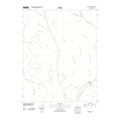 2010 Orderville2010 Print · USGSThe community of Orderville thrives in the high-desert landscape of Kane County in the early 21st century. Researchers can trace local genealogy at the Orderville Cemetery or explore the deep drainages of Mineral Gulch and Hellhole Canyon that define this region.
 - 2010 Map of Cogswell Point, 2010 Print
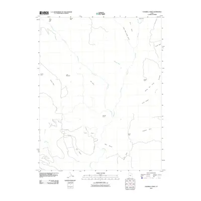 2010 Cogswell Point2010 Print · USGSThe high plateaus and deep canyons of southern Utah are captured here at the start of the 2010s. Researchers can trace the development of mountain roads near Virgin Flats and locate landmarks like Hogs Heaven and Miners Peak.
 - 2010 Map of Bull Valley Gorge, 2010 Print
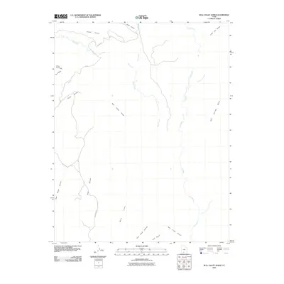 2010 Bull Valley Gorge2010 Print · USGSSouthern Utah's canyon country is shown here just after the turn of the millennium, documenting a landscape of dramatic sandstone formations. Researchers and hikers can trace the winding path of the Paria River or locate remote landmarks like White Cliffs and Bull Valley Gorge.
 - 2010 Map of Glendale, 2010 Print
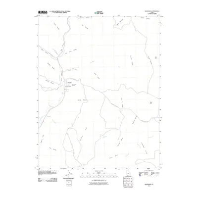 2010 Glendale2010 Print · USGSThe settlement of Glendale and its surrounding canyons are captured here as they appeared in 2010. Genealogists and historians can trace local family landmarks like the Glendale City Cemetery and the Glendale Post Office situated along the East Fork Virgin River.
 - 2010 Map of Mount Carmel, 2010 Print
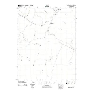 2010 Mount Carmel2010 Print · USGSMount Carmel and the surrounding southern Utah plateau are captured here during the first decade of the 21st century. Genealogists and local historians can locate Mount Carmel Cemetery, the historic Foot Ranch, and landmarks like Dianas Throne along the river.
 - 2010 Map of Pine Point, 2010 Print
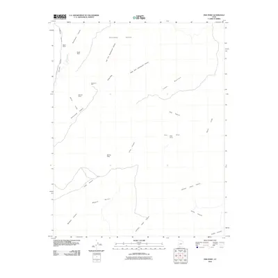 2010 Pine Point2010 Print · USGSThis Kane County landscape is shown as it appeared in the early 21st century, centered on the dramatic intersection of canyon systems and high terraces. Researchers can trace historic land use through sites like the Montezuma Mine, Billy Pasture, and N Johnson Canyon Rd.
 - 2010 Map of Clear Creek Mountain, 2010 Print
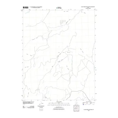 2010 Clear Creek Mountain2010 Print · USGSKane County's high ranching country is mapped here in the early twenty-first century, showing the rugged network of canyons and plateaus. Researchers can locate remote landmarks like Jolly Ranch, Winders Ranch, and the winding Orderville Gulch.
 - 2010 Map of Skutumpah Creek, 2010 Print
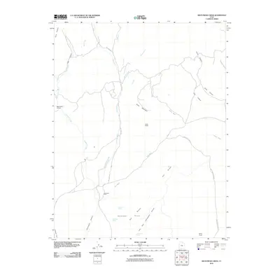 2010 Skutumpah Creek2010 Print · USGSSouthern Utah at the start of the 2010s reveals a landscape of high plateaus and ranching history. Researchers can trace the remote Skutumpah Ranch and vital water sources like Cottonwood Spring and Old Corral Spring.
 - 2010 Map of Deer Range Point, 2010 Print
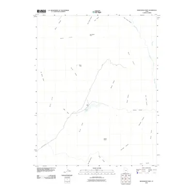 2010 Deer Range Point2010 Print · USGSKane County's high-desert interior remains a rugged landscape of deep canyons and isolated mesas at the start of the 21st century. Researchers can trace historic ranching sites like Nipple Ranch and topographical landmarks such as Mollies Nipple and No Mans Mesa.
 - 2010 Map of Nephi Point, 2010 Print
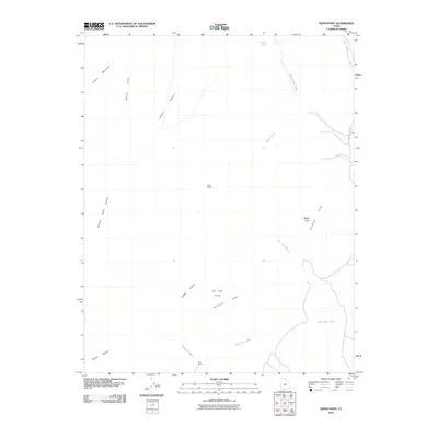 2010 Nephi Point2010 Print · USGSThe Kane County backcountry of the early twenty-first century is revealed through this study of high pastures and deep washes. Researchers can locate remote outposts like Nephi Ranch and Clark Ranch and trace the geological break of the White Cliffs.
 - 2010 Map of White Tower, 2010 Print
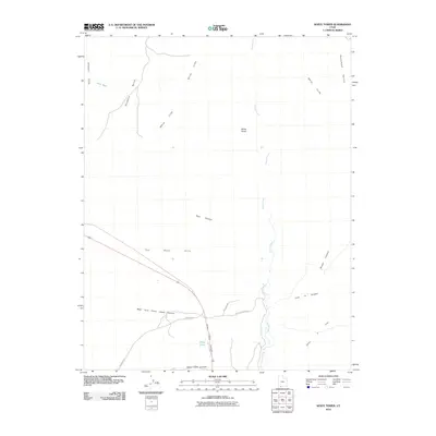 2010 White Tower2010 Print · USGSSouthern Kane County is revealed here at the start of the decade, showing a remote landscape of high terraces and deep canyons. Researchers can trace the drainages of Kanab Creek and find the small settlement of Three Lakes near the White Cliffs.
 - 2011 Map of Temple of Sinawava, 2011 Print
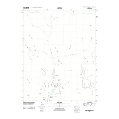 2011 Temple of Sinawava2011 Print · USGSZion National Park is captured in the early twenty-first century, showcasing the dramatic transition from the canyon floor to the high mesas. Researchers can trace the path of the North Fork Virgin River through The Narrows and locate sites like Zion Lodge and the Temple of Sinawava.
 - 2011 Map of Eightmile Pass, 2011 Print
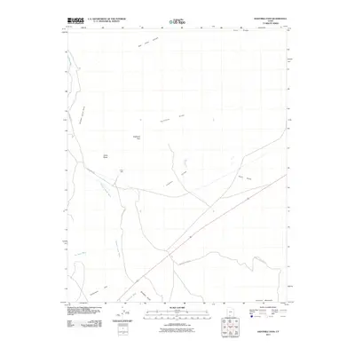 2011 Eightmile Pass2011 Print · USGSKane County's high desert reveals its complex network of washes and canyons in this early twenty-first-century survey. Trace the routes through Eightmile Pass and Kimball Valley, or locate the site of the King Mine near the base of the Vermilion Cliffs.
 - 2011 Map of Bald Knoll, 2011 Print
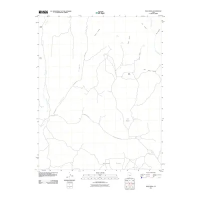 2011 Bald Knoll2011 Print · USGSKane County's high desert plateaus and deep canyon drainages are captured here in the early twenty-first century. Researchers can trace remote water sources and cattle-country landmarks like Spaniard Spring, Ford Pasture, and the overlook at Buck Knoll.
 - 2011 Map of Springdale East, 2011 Print
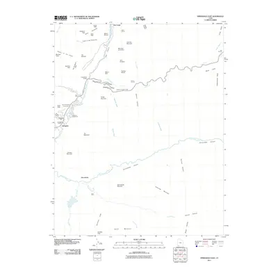 2011 Springdale East2011 Print · USGSSpringdale and the surrounding canyon country are captured in the early twenty-first century as the gateway to the Virgin River forks. Researchers can trace the Springdale Cemetery, the remote Lewis Ranch, and the historic approach of the Zion-Mount Carmel Tunnel.
 - 2011 Map of Cannonville, 2011 Print
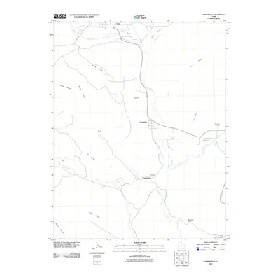 2011 Cannonville2011 Print · USGSIn the early twenty-first century, the canyon lands near the Paria River remained centered on ranching and small-town life. Researchers can locate family sites and cemeteries in Cannonville, Georgetown, and at the Ott Ranch.
 - 2011 Map of Halls Crossing, 2011 Print
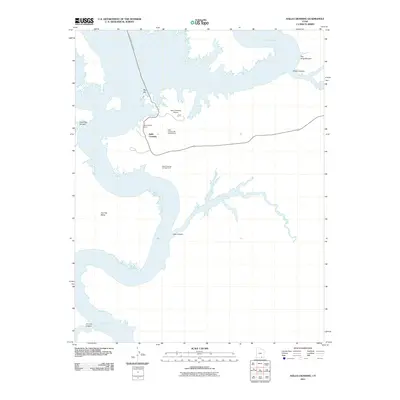 2011 Halls Crossing2011 Print · USGSHalls Crossing in the early twenty-first century serves as a critical junction for travelers navigating the waters of Lake Powell. Researchers can map the modern footprint of the Halls Crossing Marina, the Halls Crossing Airport, and the path of the John Atlantic Burr Ferry.
 - 2011 Map of Canaan Peak, 2011 Print
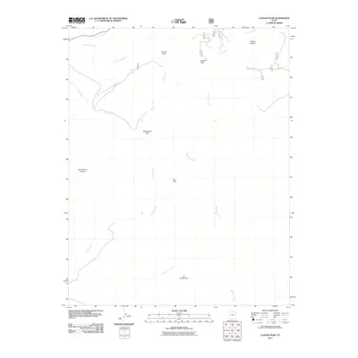 2011 Canaan Peak2011 Print · USGSHigh plateau country in Kane County comes into focus during this early twenty-first century survey. Geologists and researchers can trace the drainage of Wahweap Creek and locate landmarks like The Cockscomb, Kaiparowitz Peak, and Canaan Bottom.
 - 2011 Map of Alcove Canyon, 2011 Print
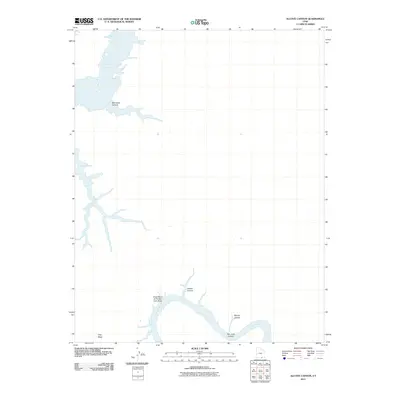 2011 Alcove Canyon2011 Print · USGSSan Juan County at the turn of the millennium reveals a dramatic landscape where the desert river system meets the modern reservoir. Researchers can trace the winding San Juan River through the Great Bend of the San Juan River and locate the inlets of Navajo Canyon.
 - 2011 Map of The Rincon NE, 2011 Print
 2011 The Rincon NE2011 Print · USGSSan Juan County in the early twenty-first century is defined by the intersection of deep desert canyons and the waters of the Colorado River basin. Researchers can trace the winding course of Navajo Creek as it approaches the vast shoreline of Lake Powell.
 - 2011 Map of Stevens Canyon North, 2011 Print
 2011 Stevens Canyon North2011 Print · USGSKane County's high desert remains largely untouched by development in the early twenty-first century, showing a terrain defined solely by its natural drainage. Researchers can trace the winding paths of Halls Creek and Millers Creek or locate the steep walls of Stevens Canyon.
 - 2011 Map of Bullfrog, 2011 Print
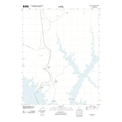 2011 Bullfrog2011 Print · USGSThe recreation hub at Bullfrog is captured here in the early twenty-first century as a critical gateway to the desert canyon country. Trace the infrastructure of the Colorado River basin through the Bullfrog Basin Marina, the John Atlantic Burr Ferry, and Stanton Canyon.
Showing maps 1-25 of 276
Top cities of Kane County
- Kanab historical maps
- Orderville historical maps
- Big Water historical maps
- Glendale historical maps
- Alton historical maps
Frequently asked questions
- What are the different types of historical maps available for Kane County?
- What is the oldest map of Kane County?
- Where can I purchase historical maps of Kane County for my home or office?
- Where can I download high-res historical maps of Kane County?
- Are there historical topographic maps available for Kane County?
- Is there historical aerial imagery available for Kane County?
- Where are historical maps of Kane County sourced from?