1960s Maps of Virginia
Explore 2,261 historic maps of Virginia from the 1960s. These maps offer a rare glimpse into what life looked like during the 1960s — showing old roads, neighborhoods, homes, and landmarks that have changed or disappeared over time.
Whether you're researching your family's past, planning a metal detecting trip, or studying how Virginia's landscape evolved across the 1960s, these high-resolution maps are a powerful tool for exploring the history of this region.
- Focus on a specific era: All maps on this page are from the 1960s, giving you a focused view of this time period.
- See what’s changed: Compare century-old streets, trails, and buildings to today's modern landscape using overlays and satellite layers.
- Research with precision: Use these maps for genealogy, historical research, land use analysis, or educational projects.
- View, download, or print: Maps are fully viewable online in high resolution, and can be downloaded or printed for your own records.
Start exploring Virginia's history through authentic maps from the 1960s. This is your window into the past.
Virginia maps
- 1960 Map of Jenkins
 1960 Jenkins1960 Print · USGSEastern Kentucky and the West Virginia borderlands are captured at a mid-century peak of the coal and rail era. Trace the industrial corridors of the Chesapeake and Ohio RR through mountain hubs like Hazard and Jenkins.
 - 1960 Map of Johnson City
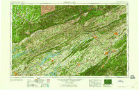 1960 Johnson City1960 Print · USGSUpper East Tennessee and the surrounding tri-state area are shown in the mid-fifties during the height of the TVA reservoir era. Trace the industrial rail lines of the Southern and Louisville and Nashville between Kingsport and Johnson City.
 - 1960 Map of Charlottesville And Vicinity
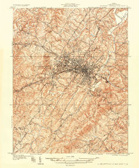 1960 Charlottesville And Vicinity1960 Print · USGSCharlottesville and the rolling Albemarle County hills are captured here in the mid-twentieth century, centered on the University of Virginia. Genealogists and historians can trace the estates of Monticello and Ash Lawn alongside local landmarks like Riverview Cemetery and Hickory Hill Ch.
 - 1960 Map of Holston Valley, 1962 Print
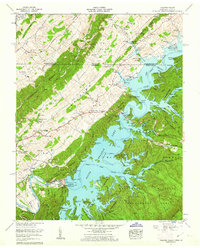 1960 Holston Valley1962 Print · USGSSullivan County and the Virginia borderland are shown here at a moment when the recently completed South Holston Dam had transformed the river valley. Genealogists and historians can locate old landmarks like Scalf Cemetery, Sinking Spring Church, and the Bristol Caverns.4 unique versions available
 - 1960 Map of Shady Valley, 1962 Print
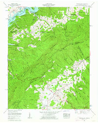 1960 Shady Valley1962 Print · USGSShady Valley and the Iron Mountains are captured here in the early sixties, showing a high Appalachian basin defined by family farms and forest management. Researchers can trace family roots at Potter Cem and Crosswhite Cem or locate the old Shady Valley Sch.4 unique versions available
 - 1960 Map of Wallace, 1962 Print
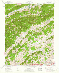 1960 Wallace1962 Print · USGSThe ridges and valleys of Washington County are captured here in the early 1960s, showing a landscape defined by the North Fork Holston River. Researchers can trace family homesteads near Benhams and Wallace or locate landmarks like Craigs Mill and Lime Hill.2 unique versions available
 - 1960 Map of Columbia, 1962 Print
 1960 Columbia1962 Print · USGSThe Virginia Piedmont at the start of the sixties reveals a landscape of river-fronting industry and tight-knit crossroads communities. Genealogists and historians can trace family-named landmarks like Yanceys Store, Bells Crossroads, and several rural churches including Beulah Church.2 unique versions available
 - 1960 Map of Abingdon, 1962 Print
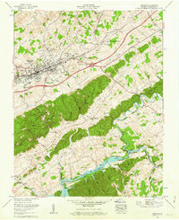 1960 Abingdon1962 Print · USGSWashington County at the dawn of the 1960s reveals a landscape of growing towns and rising waters. Genealogists and historians can trace the foundations of Abingdon, locating Stone Mill, the Southwest Virginia 4-H Center, and the shores of South Fork Holston Lake.4 unique versions available
 - 1960 Map of Lakeside Village, 1962 Print
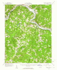 1960 Lakeside Village1962 Print · USGSThe James River and the Chesapeake and Ohio railroad shaped the Cumberland and Goochland borderlands during the early 1960s. Genealogists can trace family names and social centers through landmarks like Flippen Millpond, Little Fork Ch, and Muddy Creek Cem.2 unique versions available
 - 1960 Map of Wyndale, 1962 Print
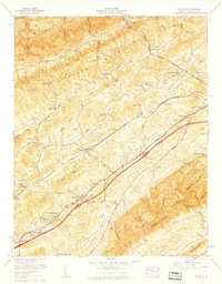 1960 Wyndale1962 Print · USGSWestern Washington County during the early sixties shows the growth of suburbs like Preston Hills alongside long-established rural congregations. Researchers can locate family burial grounds like Pippin Cem and landmark institutions including John S Battle High School.5 unique versions available
 - 1961 Map of Eastville
 1961 Eastville1961 Print · USGSThe Eastern Shore and Outer Banks are captured here in the mid-twentieth century, showing a maritime landscape of lighthouses, rail-linked towns, and naval outposts. Researchers can trace the Pennsylvania Railroad through Parksley or locate historical sites like Chincoteague Field Naval Auxiliary Air Station and Tangier Island.
 - 1961 Map of Washington
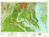 1961 Washington1961 Print · USGSThe mid-Atlantic region in the late fifties is presented in remarkable detail, from the Blue Ridge foothills to the Chesapeake Eastern Shore. Researchers can trace historic river landings and military sites like Mount Vernon, Fort Belvoir, and Point Lookout.2 unique versions available
 - 1961 Map of Baltimore
 1961 Baltimore1961 Print · USGSMaryland and Pennsylvania are captured at a mid-century peak of industrial and military expansion. Genealogists and historians can trace rail corridors like the Western Maryland Ry or locate regional landmarks such as Camp Detrick and Kent Island.
 - 1961 Map of Salisbury
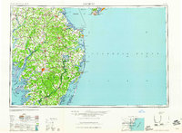 1961 Salisbury1961 Print · USGSThe Delmarva Peninsula comes into focus in the early sixties, showing the vital road and rail networks connecting the Chesapeake to the Atlantic. Genealogists and historians can trace family-named landings and coastal landmarks from Crisfield to the Brandywine Shoal Lighthouse.
 - 1961 Map of Cumberland
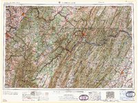 1961 Cumberland1961 Print · USGSThe tri-state highlands of Maryland, West Virginia, and Pennsylvania are shown in the mid-twentieth century as a complex landscape of ridges and river valleys. Researchers can trace the winding Potomac River and find old rail-and-river towns like Cumberland, Keyser, and Morgantown.
 - 1961 Map of Bluefield
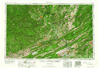 1961 Bluefield1961 Print · USGSThe coalfields and mountain ridges of southern West Virginia and southwest Virginia are captured in the early sixties. Genealogists can trace family ties through rail-linked towns like Princeton and Richlands or along the shores of Bluestone Reservoir.
 - 1961 Map of Gordonsville, 1962 Print
 1961 Gordonsville1962 Print · USGSCentral Virginia in the early sixties remains a landscape of deep historical roots and rail-based commerce. Genealogists and researchers can trace family names through landmarks like Boswells Tavern, the James Madison Grave, and rural sites like Liberty Mills.2 unique versions available
 - 1961 Map of Sperryville, 1962 Print
 1961 Sperryville1962 Print · USGSVirginia's Piedmont and the Blue Ridge foothills come alive in this early 1960s survey of Rappahannock and Culpeper counties. Genealogists and historians can trace numerous milling communities like Monumental Mills and Peola Mills alongside local landmarks such as Hope Hill Chapel.2 unique versions available
 - 1961 Map of Buchanan, 1963 Print
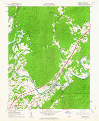 1961 Buchanan1963 Print · USGSBotetourt County in the early sixties showcases the industrial and transit corridor of the James River at Buchanan. Researchers can trace family history through several river-town settlements and country churches like Mt Joy Ch and Mt Zion Ch.3 unique versions available
 - 1961 Map of Rapidan, 1963 Print
 1961 Rapidan1963 Print · USGSMadison and Culpeper Counties during the early sixties show a transition from a traditional mill-based economy to a modern rural landscape. Genealogists can trace family names at Waylands Mill, Achsah, and Thorofare Mtn Chapel along the Piedmont rivers.2 unique versions available
 - 1961 Map of Arnold Valley, 1963 Print
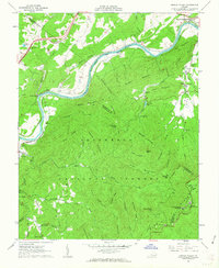 1961 Arnold Valley1963 Print · USGSBotetourt and Rockbridge counties are shown here in the early sixties as industrial rail lines follow the bends of the James River. Genealogists and historians can locate old landmarks like the Glenwood Furnace (Ruins), Bedford Air Force Station, and High Bridge Cem.3 unique versions available
 - 1961 Map of Shipman, 1963 Print
 1961 Shipman1963 Print · USGSNelson County's rugged ridges and the James River corridor are captured here in the early 1960s, showing a landscape defined by rail lines and rural community life. Researchers can trace historic church sites like White Rock Ch, the rail hub at Gladstone, and the grounds of the County Training Sch.2 unique versions available
 - 1961 Map of Natural Bridge, 1963 Print
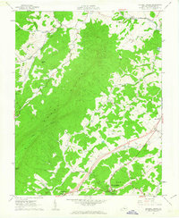 1961 Natural Bridge1963 Print · USGSRockbridge County's agricultural and forest lands are captured in the early sixties, centered on the Natural Bridge area. Genealogists can locate family landmarks like Miller Cem, Oakdale Ch, and the small settlement at Fancy Hill.2 unique versions available
 - 1961 Map of Buckingham, 1963 Print
 1961 Buckingham1963 Print · USGSBuckingham County and the James River corridor are captured here in the early sixties as rural life centered on the river and rail. Genealogists can trace family roots through numerous country landmarks like Liberty Hall Cem, Midway Mills, and St Joy Sch.
 - 1961 Map of Paddy Knob, 1964 Print
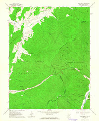 1961 Paddy Knob1964 Print · USGSThe West Virginia and Virginia borderlands come to life in the early sixties, showing the remote high-country terrain of Pocahontas County. Researchers can find numerous family burial sites like Shinaberry Cem, the mountain chapel of Wesley Chapel, and the small settlement at Frost.2 unique versions available
Showing maps 1-25
Top cities of Virginia
- Virginia Beach historical maps
- Chesapeake historical maps
- Arlington historical maps
- Norfolk historical maps
- Richmond historical maps
- Newport News historical maps
See more
Top counties of Virginia
- Fairfax County historical maps
- Virginia Beach historical maps
- Prince William County historical maps
- Loudoun County historical maps
- Chesterfield County historical maps
- Henrico County historical maps
See more
Frequently asked questions
- What are the different types of historical maps available for Virginia?
- What is the oldest map of Virginia?
- Where can I purchase historical maps of Virginia for my home or office?
- Where can I download high-res historical maps of Virginia?
- Are there historical topographic maps available for Virginia?
- Is there historical aerial imagery available for Virginia?
- Where are historical maps of Virginia sourced from?