1950s Maps of Virginia
Explore 663 historic maps of Virginia from the 1950s. These maps offer a rare glimpse into what life looked like during the 1950s — showing old roads, neighborhoods, homes, and landmarks that have changed or disappeared over time.
Whether you're researching your family's past, planning a metal detecting trip, or studying how Virginia's landscape evolved across the 1950s, these high-resolution maps are a powerful tool for exploring the history of this region.
- Focus on a specific era: All maps on this page are from the 1950s, giving you a focused view of this time period.
- See what’s changed: Compare century-old streets, trails, and buildings to today's modern landscape using overlays and satellite layers.
- Research with precision: Use these maps for genealogy, historical research, land use analysis, or educational projects.
- View, download, or print: Maps are fully viewable online in high resolution, and can be downloaded or printed for your own records.
Start exploring Virginia's history through authentic maps from the 1950s. This is your window into the past.
Virginia maps
- 1950 Map of West Point
 1950 West Point1950 Print · USGSCoastal Virginia at the turn of the decade centers on the confluence of the Mattaponi and Pamunkey. Researchers can trace family sites at Chelsea, locate historic burials at Sunny Slope Cem, and follow the SOUTHERN rail lines into the heart of West Point.2 unique versions available
 - 1950 Map of Colemen Gap
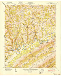 1950 Colemen Gap1950 Print · USGSThe Tennessee-Virginia state line follows the high ridges and winding river bends of the Appalachian borderlands just after the war. Researchers can locate family landmarks such as Yeary Mill, trace the Powell River through the Narrows, and find remote schools like Hoop Creek Sch.
 - 1950 Map of Kyles Ford
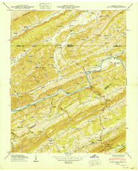 1950 Kyles Ford1950 Print · USGSHancock County life in the mid-century is centered on the winding Clinch River and the rugged ridges of East Tennessee and Southwest Virginia. Researchers can locate family landmarks like Livesay Mill and numerous burial grounds including Testerman Cem and Sizemore Cem.
 - 1950 Map of Looneys Gap
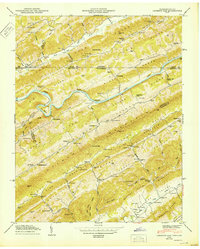 1950 Looneys Gap1950 Print · USGSThe Tennessee-Virginia borderlands in the 1940s are characterized by the steep ridges of Clinch Mountain and the deep bends of the Clinch River. Researchers can trace old mountain life through family sites like Sizemore Cem and rural schools like Wake Forest School.
 - 1950 Map of Clinchport
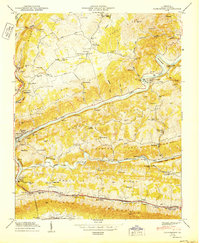 1950 Clinchport1950 Print · USGSScott County's dramatic river gaps and rail tunnels are captured in detail during the mid-twentieth century. Researchers can locate family homesteads near Rhoton Mill, trace the Daniel Boone Trail, or find ancestral sites like Alleys Chapel.2 unique versions available
 - 1950 Map of Wellville
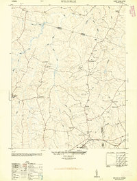 1950 Wellville1950 Print · USGSThe rural intersection of Nottoway, Amelia, and Dinwiddie Counties comes alive in this post-war survey. Genealogists can trace family connections through a network of country stores and churches like Simpsons Store, Rocky Hill Church, and Jerusalem School.2 unique versions available
 - 1950 Map of Broadway
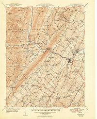 1950 Broadway1950 Print · USGSRockingham County at the mid-century mark shows a landscape defined by the Southern railroad and the North Fork River. Genealogists and historians can trace family locations near Singers Glen, Lacey Spring, and dozens of landmarks like Trissel Ch.
 - 1950 Map of Hebron
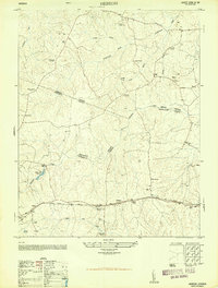 1950 Hebron1950 Print · USGSDinwiddie and Nottoway counties are shown here at mid-century, where rural life revolved around the railroad and community schools. Genealogists can trace family roots at Salem Cemetery or locate landmarks like King David Lodge Hall and the Mission Light School.2 unique versions available
 - 1950 Map of Old Church
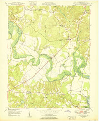 1950 Old Church1950 Print · USGSThe Pamunkey River basin in the early postwar era reveals a landscape of tidal swamps and scattered crossroads communities. Genealogists and historians can trace the foundations of the area at Old Church, Appersons Store, and historic landings like Carters Landing.2 unique versions available
 - 1950 Map of Dillwyn
 1950 Dillwyn1950 Print · USGSBuckingham County's mid-century landscape is defined here by the river-and-rail corridor of the James River and the industrial activity near Dillwyn. Genealogists can trace family landmarks like Lower Bremo Mansion, Diana Mills P.O., and the Mourning Valley School.2 unique versions available
 - 1950 Map of Richlands
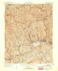 1950 Richlands1950 Print · USGSRichlands and the Clinch River valley are shown here in the late 1940s as the rail and coal industries shaped the landscape. Genealogists can trace family names through dozens of rural landmarks like Paint Lick Sch, Jewell Chapel, and the Wolfpen Ridge Cem.
 - 1950 Map of Duffield
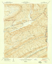 1950 Duffield1950 Print · USGSAcross the ridges of Scott and Lee Counties in 1950, this area shows a landscape of mountain gaps and rail-fed river towns. Genealogists and historians can locate numerous family cemeteries and remote landmarks like Hortons Summit (PO), Hill Chapel, and the Bald Knob Tunnel.2 unique versions available
 - 1950 Map of Strasburg
 1950 Strasburg1950 Print · USGSThe northern Shenandoah Valley is shown just after the war, defined by the winding forks of the river and the massive ridges of Massanutten Mountain. Genealogists and historians can trace family sites at Mt Hebron Cemetery, Goode Mill, and the mountain-bound community of Seven Fountains.2 unique versions available
 - 1950 Map of Blackstone
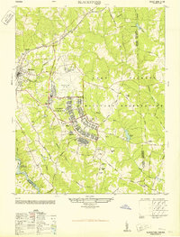 1950 Blackstone1950 Print · USGSMid-century Blackstone is captured here as a major military hub during the post-war era. Genealogists and historians can locate legacy sites like Nottoway Training School, the Cemetery, and the sprawling Camp Pickett complex.
 - 1950 Map of Lexington
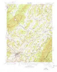 1950 Lexington1950 Print · USGSRockbridge County and the Shenandoah Valley are shown in detail during the mid-twentieth century, centered on the bustling college town of Lexington. Researchers can trace the heritage of the Maury River valley through historic sites like Rockbridge Baths, Goshen Pass, and McClung Mill.2 unique versions available
 - 1950 Map of Darvills, 1951 Print
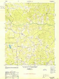 1950 Darvills1951 Print · USGSDinwiddie County in the early fifties shows a landscape shaped by military expansion and deep-rooted rural communities. Genealogists can trace family footprints near Darvills, Dickerson Store, and the grounds of Hawkins Memorial Church or Hebron School.2 unique versions available
 - 1950 Map of Goode, 1952 Print
 1950 Goode1952 Print · USGSMid-century Bedford and Campbell Counties are documented here as the rural landscape meets the mountains. Genealogists can trace the location of numerous country landmarks like Poplar Forest, Coltons Mill, and the many schools and churches including North Bedford Ch.3 unique versions available
 - 1950 Map of Peaks of Otter, 1952 Print
 1950 Peaks of Otter1952 Print · USGSThe Blue Ridge highlands meet the Piedmont here in the mid-century, defined by the mountain peaks and the busy Norfolk and Western rail line. Genealogists can trace family landmarks like Walnut Grove Ch, Joppa Mill, and the small community of Thaxton.5 unique versions available
 - 1950 Map of Elliston, 1952 Print
 1950 Elliston1952 Print · USGSThe Roanoke River headwaters and Blue Ridge highlands are captured here in the early postwar era. Genealogists and historians can trace community roots through numerous country landmarks like Check High Sch, Dillons Mill, and Bend Union Ch.4 unique versions available
 - 1950 Map of Radford, 1952 Print
 1950 Radford1952 Print · USGSThe New River valley and the newly formed Claytor Lake are captured here at the start of the 1950s. Genealogists and historians can locate family-named sites like Goodwins Ferry, Hickman Cem, and schools such as Walton Sch No 1.3 unique versions available
 - 1950 Map of Mulberry Island, 1953 Print
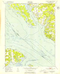 1950 Mulberry Island1953 Print · USGSMid-century coastal Virginia comes into focus as a complex mix of military installations and established local communities. Genealogists and historians can trace Mennonite Colony, find family-named churches like Denbigh Ch, and locate the Prison Farm near the Warwick River.
 - 1950 Map of Cobham Bay, 1953 Print
 1950 Cobham Bay1953 Print · USGSThe James River waterfront is frozen in time at mid-century, showing the early boundaries of the Colonial National Historical Monument. Researchers can trace the rural landscape from Jamestown Island to the remote lighthouses at Homewood and Deepwater Shoals.
 - 1950 Map of Yorktown, 1954 Print
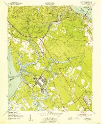 1950 Yorktown1954 Print · USGSThe Virginia Peninsula at the midpoint of the century reveals a landscape where Revolutionary War history meets massive military expansion. Genealogists and historians can trace the footprint of Yorktown alongside mid-century landmarks like the National Cem, Lee Mansion, and the Patrick Henry Airport.
 - 1950 Map of Buena Vista, 1958 Print
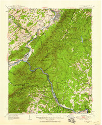 1950 Buena Vista1958 Print · USGSThe Blue Ridge high country is captured here at mid-century as the Blue Ridge Parkway and Appalachian Trail were becoming established. Genealogists and historians can trace family locations near Pedlar Mills, Buffalo Forge, and the riverside rail junction at Glasgow.2 unique versions available
 - 1950 Map of Amherst, 1960 Print
 1950 Amherst1960 Print · USGSAmherst and the surrounding Blue Ridge foothills are documented here at mid-century, just as rural communities and mountain gaps remained largely unchanged. Genealogists can trace family locations through Dodds Store, Mt Moriah Ch, and the Sweet Briar College campus.
Showing maps 1-25
Top cities of Virginia
- Virginia Beach historical maps
- Chesapeake historical maps
- Arlington historical maps
- Norfolk historical maps
- Richmond historical maps
- Newport News historical maps
See more
Top counties of Virginia
- Fairfax County historical maps
- Virginia Beach historical maps
- Prince William County historical maps
- Loudoun County historical maps
- Chesterfield County historical maps
- Henrico County historical maps
See more
Frequently asked questions
- What are the different types of historical maps available for Virginia?
- What is the oldest map of Virginia?
- Where can I purchase historical maps of Virginia for my home or office?
- Where can I download high-res historical maps of Virginia?
- Are there historical topographic maps available for Virginia?
- Is there historical aerial imagery available for Virginia?
- Where are historical maps of Virginia sourced from?