2010s Maps of Virginia
Explore 3,284 historic maps of Virginia from the 2010s. These maps offer a rare glimpse into what life looked like during the 2010s — showing old roads, neighborhoods, homes, and landmarks that have changed or disappeared over time.
Whether you're researching your family's past, planning a metal detecting trip, or studying how Virginia's landscape evolved across the 2010s, these high-resolution maps are a powerful tool for exploring the history of this region.
- Focus on a specific era: All maps on this page are from the 2010s, giving you a focused view of this time period.
- See what’s changed: Compare century-old streets, trails, and buildings to today's modern landscape using overlays and satellite layers.
- Research with precision: Use these maps for genealogy, historical research, land use analysis, or educational projects.
- View, download, or print: Maps are fully viewable online in high resolution, and can be downloaded or printed for your own records.
Start exploring Virginia's history through authentic maps from the 2010s. This is your window into the past.
Virginia maps
- 2010 Map of Middlesboro North, 2010 Print
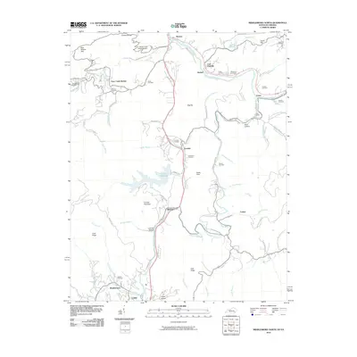 2010 Middlesboro North2010 Print · USGSBell County is shown here in the early twenty-first century, revealing a landscape where family history and river life intersect. Researchers can trace ancestral burial grounds at Wilder and Bingham Cemetery or locate old communities like Ponza and Colmar.
 - 2010 Map of Appomattox, 2010 Print
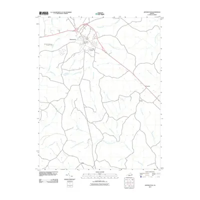 2010 Appomattox2010 Print · USGSAppomattox and its surrounding Virginia countryside are documented here in the early twenty-first century. Researchers can trace local genealogy and land use through features like the Appomattox Cemetery, the settlement at Evergreen, and the Appomattox Post Office.
 - 2010 Map of Cartersville, 2010 Print
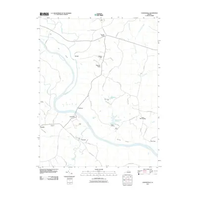 2010 Cartersville2010 Print · USGSGoochland and Cumberland counties meet along the James River in this 2010 survey of the Virginia interior. Researchers can trace rural heritage through sites like Muddy Creek Mills, Harrison Cemetery, and the riverfront settlement of Cartersville.
 - 2010 Map of Columbia, 2010 Print
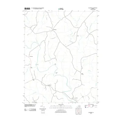 2010 Columbia2010 Print · USGSFluvanna County at the turn of the decade shows a rural Virginia landscape defined by its historic river confluences and crossroads. Genealogists and local historians can trace family-named roads and sites from Columbia up to Wilmington and Buzzard Rock.
 - 2010 Map of Concord, 2010 Print
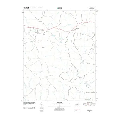 2010 Concord2010 Print · USGSThe rural Virginia landscape around Concord is captured in the early twenty-first century, showing a region shaped by its waterways and small junctions. Family historians and researchers can trace the paths of Spring Mill Rd, locate the Concord Cemetery, or find landmarks like Pilot Mountain and Spout Spring.
 - 2010 Map of Aspen, 2010 Print
 2010 Aspen2010 Print · USGSCharlotte County, Virginia, is captured here in the early 2000s, showing a quiet landscape defined by the Roanoke River and its many creek drainages. Genealogists and local historians can locate rural settlements like Aspenwall and Wren or visit the Cub Creek Cemetery.
 - 2010 Map of Hampden Sydney, 2010 Print
 2010 Hampden Sydney2010 Print · USGSHampden Sydney and the surrounding Prince Edward County countryside are captured here just after the first decade of the millennium. Local historians can locate ancestral sites at Mount Pleasant Cemetery or trace the early development of Worsham and Redd Shop.
 - 2010 Map of Charlotte Court House, 2010 Print
 2010 Charlotte Court House2010 Print · USGSCharlotte County, Virginia, is captured here in the early 21st century as a landscape of rural crossroads and established family homesteads. Genealogists and local historians can trace legacy sites like Evergreen Cemetery and the Phenix Lookout Tower near the historic Charlotte Court House.
 - 2010 Map of Leesville, 2010 Print
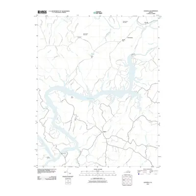 2010 Leesville2010 Print · USGSThe Roanoke River valley in 2010 centers on the waters of Leesville Lake and its surrounding rural communities. Genealogists and local historians can trace family locations near Stone Road Cemetery, Coles Quarter, and Brights.
 - 2010 Map of Forest, 2010 Print
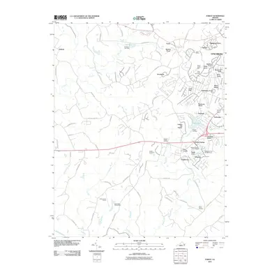 2010 Forest2010 Print · USGSBedford County's suburban corridors near Lynchburg are documented here at a time of significant residential expansion. Researchers can trace family history at the Callaway-Steptoe Cemetery or explore established communities like New London and Bedford Springs.
 - 2010 Map of Jetersville, 2010 Print
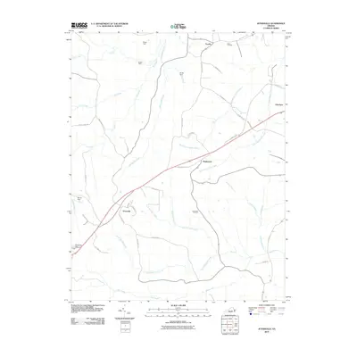 2010 Jetersville2010 Print · USGSAmelia County at the start of the 21st century reveals a landscape of quiet rural crossroads and winding creek branches. Genealogists and local historians can trace family-named landmarks and community sites like Salem Cemetery, Jetersville, and Manns Dam.
 - 2010 Map of Long Island, 2010 Print
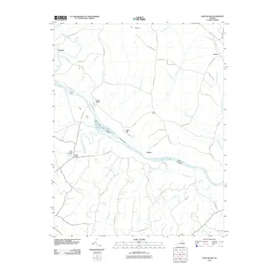 2010 Long Island2010 Print · USGSThe Roanoke River valley in southern Virginia appears here in the early twenty-first century as a quiet landscape of river islands and rural settlements. Genealogists and historians can trace family locations near the Franklin Cemetery, Cedar Forest Mill Dam, and the small community of Green Hill.
 - 2010 Map of Kelly, 2010 Print
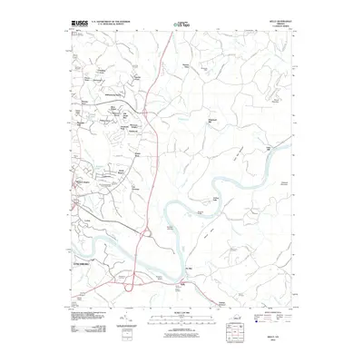 2010 Kelly2010 Print · USGSThe James River corridor in Amherst County appears here in the early twenty-first century, showing the intersection of industrial heritage and modern growth. Genealogists can trace family sites at Megginson Cemetery or locate historic landmarks like Oxford Furnace and Galts Mill.
 - 2010 Map of Brownsburg, 2010 Print
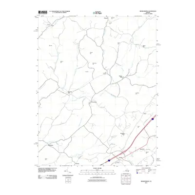 2010 Brownsburg2010 Print · USGSAugusta County at the start of the 2010s reveals a landscape of enduring rural settlements and historic mills. Researchers can trace family history through sites like New Providence Cemetery or explore the geography of Brownsburg, Wades Mill, and Bustleburg.
 - 2010 Map of Howardsville, 2010 Print
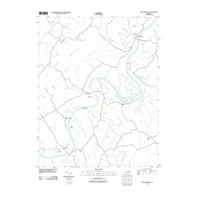 2010 Howardsville2010 Print · USGSThe James River corridor in central Virginia comes into focus during the early twenty-first century, showing a landscape shaped by river bends and rural settlements. Genealogists and local historians can locate Liberty Hall Cemetery, the Howardsville Post Office, and river-side hamlets like Warminster and Wingina.
 - 2010 Map of Amherst, 2010 Print
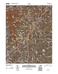 2010 Amherst2010 Print · USGSAmherst County at the dawn of the 21st century remains a landscape of rolling foothills and historic family settlements. Researchers can trace ancestral sites at Christian Aid Cemetery or explore the collegiate grounds around Sweetbriar Lake and Sweet Briar Station.
 - 2010 Map of Boonsboro, 2010 Print
 2010 Boonsboro2010 Print · USGSThe foothills west of Lynchburg are captured in the early twenty-first century, showing a mix of established rural communities and growing suburban areas. Researchers can locate family landmarks like Norwood Cemetery and North Cemetery or institutional sites such as the Eagle Eyrie Virginia Baptist Assembly.
 - 2010 Map of Irving, 2010 Print
 2010 Irving2010 Print · USGSBedford County's rural ridges and creek valleys are documented in the early twenty-first century, showing a landscape of small settlements and mountain peaks. Genealogists can locate family landmarks like Tate Cemetery, New Hope Cemetery, and the historic crossing at Rocky Ford.
 - 2010 Map of City Farm, 2010 Print
 2010 City Farm2010 Print · USGSThe suburbs of Lynchburg and Campbell County are captured here during a period of significant institutional and residential growth. Genealogists and local historians can trace legacy family plots at Beulah Cemetery and Merryman Cemetery or locate landmarks like Brush Tavern.
 - 2010 Map of Lakeside Village, 2010 Print
 2010 Lakeside Village2010 Print · USGSFluvanna County's riverfront and rural interior are captured here in the early twenty-first century as the landscape transitioned toward recreation and residential life. Researchers can locate family landmarks like Little Fork Cemetery or trace the water systems of Trice Lake and Trenton Mills.
 - 2010 Map of Moneta, 2010 Print
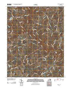 2010 Moneta2010 Print · USGSBedford County's rural character and long-standing family settlements are captured here in the years before recent growth. Genealogists and historians can trace local roots at Morgans Church, Bond Cemetery, and the historic crossroads of Davis Mill.
 - 2010 Map of Tobacco Row Mountain, 2010 Print
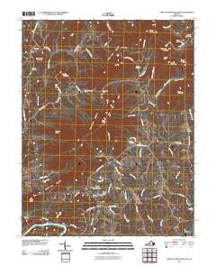 2010 Tobacco Row Mountain2010 Print · USGSAmherst County at the start of the twenty-first century remains a landscape of high ridges and deep family roots. Researchers can trace ancestral sites like Fletcher Cemetery, the community of Elon, and the distinctive slopes of Buffalo Spur.
 - 2010 Map of Bedford, 2010 Print
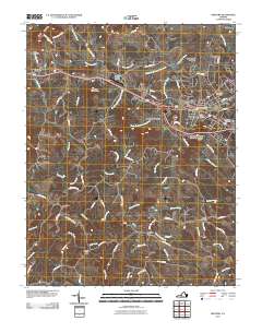 2010 Bedford2010 Print · USGSBedford and the surrounding Virginia countryside are captured here in the early twenty-first century as suburban growth meets long-standing rural crossroads. Genealogists and local historians can trace family plots at Otey Cemetery and Fairmount Cemetery or locate the site of Joppa Mill.
 - 2010 Map of Rustburg, 2010 Print
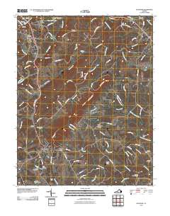 2010 Rustburg2010 Print · USGSRustburg and its surrounding Campbell County countryside appear here in the early twenty-first century as a landscape of family legacies and rolling ridges. Researchers can locate numerous historic burial grounds like Falwell Cemetery and Perrow Cemetery or trace the drainage of Beaver Creek.
 - 2010 Map of Goodview, 2010 Print
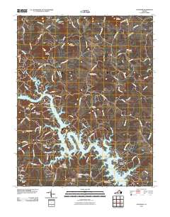 2010 Goodview2010 Print · USGSThe Smith Mountain Lake shoreline and surrounding Bedford County highlands are captured here in the early twenty-first century. Genealogists and historians can locate numerous family burial sites such as Basham Cemetery and historical crossings like Carters Island Ford.
Showing maps 1-25
Top cities of Virginia
- Virginia Beach historical maps
- Chesapeake historical maps
- Arlington historical maps
- Norfolk historical maps
- Richmond historical maps
- Newport News historical maps
See more
Top counties of Virginia
- Fairfax County historical maps
- Virginia Beach historical maps
- Prince William County historical maps
- Loudoun County historical maps
- Chesterfield County historical maps
- Henrico County historical maps
See more
Frequently asked questions
- What are the different types of historical maps available for Virginia?
- What is the oldest map of Virginia?
- Where can I purchase historical maps of Virginia for my home or office?
- Where can I download high-res historical maps of Virginia?
- Are there historical topographic maps available for Virginia?
- Is there historical aerial imagery available for Virginia?
- Where are historical maps of Virginia sourced from?