1980s Maps of Virginia
Explore 105 historic maps of Virginia from the 1980s. These maps offer a rare glimpse into what life looked like during the 1980s — showing old roads, neighborhoods, homes, and landmarks that have changed or disappeared over time.
Whether you're researching your family's past, planning a metal detecting trip, or studying how Virginia's landscape evolved across the 1980s, these high-resolution maps are a powerful tool for exploring the history of this region.
- Focus on a specific era: All maps on this page are from the 1980s, giving you a focused view of this time period.
- See what’s changed: Compare century-old streets, trails, and buildings to today's modern landscape using overlays and satellite layers.
- Research with precision: Use these maps for genealogy, historical research, land use analysis, or educational projects.
- View, download, or print: Maps are fully viewable online in high resolution, and can be downloaded or printed for your own records.
Start exploring Virginia's history through authentic maps from the 1980s. This is your window into the past.
Virginia maps
- 1981 Map of Cheriton
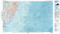 1981 Cheriton1981 Print · USGSThe Virginia Eastern Shore in the early eighties is mapped here at the junction of the bay and ocean. Researchers can trace the coastal heritage of the peninsula through landmarks like the Cape Charles Light and settlements such as Oyster, Townsend, and Eastville.
 - 1981 Map of Bluefield
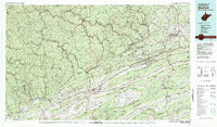 1981 Bluefield1981 Print · USGSThe coalfields and mountain ridges of the Virginia-West Virginia border are captured here during the early eighties. Genealogists and historians can trace the rail lines of the Norfolk and Western RR connecting Coalwood, Welch, and the unique geological basin of Burkes Garden.2 unique versions available
 - 1981 Map of Bristol
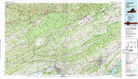 1981 Bristol1981 Print · USGSAppalachia and the Tri-Cities region are shown at a peak of industrial and rail development in the early eighties. Researchers can trace the Clinchfield Railroad through the mountains or find local landmarks like King College and the Holston Army Ammunition Plant.2 unique versions available
 - 1981 Map of Chincoteague, 1982 Print
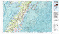 1981 Chincoteague1982 Print · USGSThe Delmarva Eastern Shore at the start of the eighties shows a unique blend of traditional coastal life and modern aerospace technology. Researchers can trace the Penn Central rail line through rural towns like Modest Town and Bloxom or explore the marshlands of the Saxis Marsh Waterfowl Management Area and Refuge.
 - 1981 Map of Elkins, 1983 Print
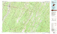 1981 Elkins1983 Print · USGSThe West Virginia mountains in the early eighties were a hub of rail-based industry and emerging conservation lands. Genealogists and historians can trace the paths of the Western Maryland RR through Elkins and locate small upland communities like Harpertown, Bowden, and Wymer.
 - 1981 Map of Stratford Hall, 1985 Print
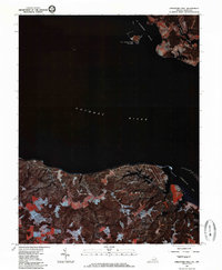 1981 Stratford Hall1985 Print · USGSThe Potomac River tidewater region is captured in the early 1980s through high-altitude aerial photography. Researchers can trace the wooded shorelines near Stratford Hall or examine the Maryland docks and marshes at Coltons Point.2 unique versions available
 - 1982 Map of Vienna
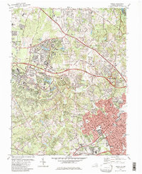 1982 Vienna1982 Print · USGSFairfax County underwent significant transformation in the early eighties as federal centers and modern suburbs rose alongside old mills. Trace the evolution of Reston and Vienna or find historic sites like Colvin Run Mill and Browns Chapel Cem.
 - 1982 Map of Radford, 1983 Print
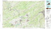 1982 Radford1983 Print · USGSThe New River Valley and surrounding highlands are shown during a period of significant regional growth in the early eighties. Genealogists and historians can trace the development of VPI, locate historic sites like Yellow Sulphur Springs, and follow the Norfolk and Western rail lines through the gaps.2 unique versions available
 - 1982 Map of Washington West, 1983 Print
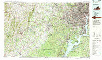 1982 Washington West1983 Print · USGSThe Virginia and Maryland suburbs were undergoing intense development in the early eighties as the capital region expanded outward. Researchers can trace the footprint of Cold War-era defense sites like Fort Belvoir and Vint Hill Farms Station alongside growing academic centers like George Mason University.
 - 1982 Map of Williamson, 1983 Print
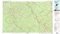 1982 Williamson1983 Print · USGSThe Central Appalachian coalfields of West Virginia and Kentucky come into sharp focus here during the early eighties. Genealogists and researchers can trace the valley rail networks of the Norfolk and Western RR through Matewan, Williamson, and Blackberry City.
 - 1982 Map of Wytheville, 1983 Print
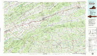 1982 Wytheville1983 Print · USGSSouthwest Virginia's ridge-and-valley landscape is shown here in the early 1980s as the Interstate era fully connected the region. Genealogists and historians can trace family locations near Emory and Henry College, the historic Austinville Mine, and settlements like Saltville or Lansing.3 unique versions available
 - 1982 Map of Mathias Point, 1983 Print
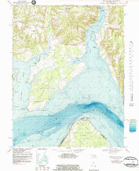 1982 Mathias Point1983 Print · USGSThe Potomac River and its deep-water channels define this Maryland-Virginia borderland during the early eighties. Genealogists and historians can trace old community anchors like St Ignatius Ch, the small settlement of McConchie, and the grounds of the U S Naval Research Laboratory.
 - 1982 Map of Beckley, 1984 Print
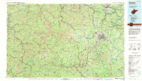 1982 Beckley1984 Print · USGSSouthern West Virginia coal country is captured here in the early eighties as industrial heritage met new wilderness protections. Genealogists and historians can trace the rail-linked communities of Beckley, Oak Hill, and the coal camps near Macdonald.
 - 1983 Map of Poquoson West
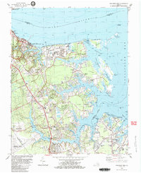 1983 Poquoson West1983 Print · USGSThe York County coast in the early 1980s reveals a unique blend of Revolutionary War heritage and modern industrial growth. Genealogists and historians can trace family-named sites like Hornsbysville and Moores alongside battle trenches and the Harwoods Mill site.2 unique versions available
 - 1983 Map of Achilles
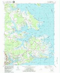 1983 Achilles1983 Print · USGSThe coastal peninsulas of Gloucester County appear in high detail during the early 1980s, showcasing a landscape shaped by tidal rivers and small harbors. Genealogists can trace family roots through sites like Groves Memorial Ch, Severn Wharf, and the rural settlement of Achilles.2 unique versions available
 - 1983 Map of Surry
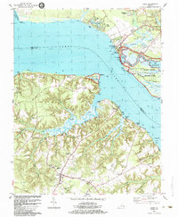 1983 Surry1983 Print · USGSThe James River waterfront in the early 1980s reveals a Tidewater landscape rich in colonial legacy and maritime commerce. Genealogists and historians can trace long-established family landings and community hubs like Smith Fort, Lebanon Sch, and Dillard Wharf.2 unique versions available
 - 1983 Map of Salisbury, 1984 Print
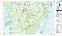 1983 Salisbury1984 Print · USGSThe Lower Eastern Shore was a landscape of tide and timber in the early eighties, from the bustling streets of Salisbury to the wild coast of Assateague Island. Researchers can trace the rail-and-road network of the Conrail and U S Highway 50 while locating historic centers like Princess Anne and Crisfield.
 - 1983 Map of Leonardtown, 1984 Print
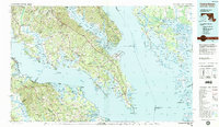 1983 Leonardtown1984 Print · USGSSouthern Maryland and the Northern Neck of Virginia are shown in the early eighties as a mosaic of historic tidewater settlements and modern installations. Trace family roots and shoreline changes near St Marys City, Leonardtown, and Colonial Beach.2 unique versions available
 - 1983 Map of Fredericksburg, 1984 Print
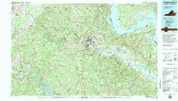 1983 Fredericksburg1984 Print · USGSThe Virginia and Maryland tidewater region comes into sharp focus during the early 1980s, centered on the historic Rappahannock and Potomac river valleys. Researchers can trace the boundaries of the Fredericksburg-Spotsylvania National Military Park alongside growing residential areas and military sites like Fort A.P. Hill Military Reservation.2 unique versions available
 - 1983 Map of Winchester, 1985 Print
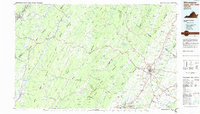 1983 Winchester1985 Print · USGSThe northern Shenandoah Valley and the rugged West Virginia borderlands are captured here in the early eighties. Researchers can trace the rail networks of the B & O RR and find local landmarks like Potomac State College, Three Churches, and the Old Iron Furnace.3 unique versions available
 - 1983 Map of Gainesville, 1996 Print
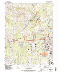 1983 Gainesville1996 Print · USGSGainesville and the surrounding Prince William County countryside are shown during a period of rapid development in the 1980s. Researchers can trace the proximity of modern residential growth to the hallowed grounds of Manassas National Battlefield Park and the Groveton Confederate Cem.
 - 1984 Map of Garden City
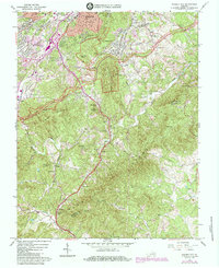 1984 Garden City1984 Print · USGSRoanoke and its southern suburbs are seen here in the mid-1980s as the city expanded toward the Blue Ridge. Genealogists and local historians can trace family plots like Oylers Cem or Plunkett Cem and locate community landmarks from Boones Chapel to the Drive-in Theater.
 - 1984 Map of Norge
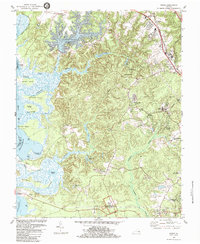 1984 Norge1984 Print · USGSJames City County is shown here in the mid-1980s, capturing a blend of colonial heritage sites and modern residential expansion. Genealogists and historians can trace the Green Spring Ruins, locate old congregations at James City Chapel, and explore the shoreline from Shields Point to Claybank Landing.3 unique versions available
 - 1984 Map of Tappahannock
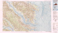 1984 Tappahannock1984 Print · USGSThe Northern Neck and Middle Peninsula of Virginia are captured in detail during the mid-1980s, showcasing the region's deep-rooted maritime and agricultural identity. Genealogists and local historians can trace family locations across the intricate shorelines of the Rappahannock River and settlements like Kilmarnock, Heathsville, and Urbanna.3 unique versions available
 - 1984 Map of Hog Island
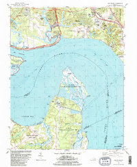 1984 Hog Island1984 Print · USGSThe James River shoreline near Williamsburg is a landscape where colonial history meets modern energy in the mid-eighties. Genealogists and historians can trace the grounds of the Kingsmill Plantation Site, Travis Cem, and Carters Grove Historical Home.2 unique versions available
Showing maps 1-25
Top cities of Virginia
- Virginia Beach historical maps
- Chesapeake historical maps
- Arlington historical maps
- Norfolk historical maps
- Richmond historical maps
- Newport News historical maps
See more
Top counties of Virginia
- Fairfax County historical maps
- Virginia Beach historical maps
- Prince William County historical maps
- Loudoun County historical maps
- Chesterfield County historical maps
- Henrico County historical maps
See more
Frequently asked questions
- What are the different types of historical maps available for Virginia?
- What is the oldest map of Virginia?
- Where can I purchase historical maps of Virginia for my home or office?
- Where can I download high-res historical maps of Virginia?
- Are there historical topographic maps available for Virginia?
- Is there historical aerial imagery available for Virginia?
- Where are historical maps of Virginia sourced from?