2020s Maps of Virginia
Explore 823 historic maps of Virginia from the 2020s. These maps offer a rare glimpse into what life looked like during the 2020s — showing old roads, neighborhoods, homes, and landmarks that have changed or disappeared over time.
Whether you're researching your family's past, planning a metal detecting trip, or studying how Virginia's landscape evolved across the 2020s, these high-resolution maps are a powerful tool for exploring the history of this region.
- Focus on a specific era: All maps on this page are from the 2020s, giving you a focused view of this time period.
- See what’s changed: Compare century-old streets, trails, and buildings to today's modern landscape using overlays and satellite layers.
- Research with precision: Use these maps for genealogy, historical research, land use analysis, or educational projects.
- View, download, or print: Maps are fully viewable online in high resolution, and can be downloaded or printed for your own records.
Start exploring Virginia's history through authentic maps from the 2020s. This is your window into the past.
Virginia maps
- 2022 Map of Great Machipongo Inlet, 2022 Print
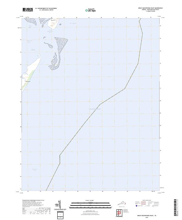 2022 Great Machipongo Inlet2022 Print · USGSThe barrier islands of Virginia's Eastern Shore are captured in this contemporary survey of the Atlantic coast. Maritime researchers and coastal historians can trace the vital navigable waterways including Great Machipongo Inlet, Hog Island, and Cobb Island.
 - 2022 Map of Chesconessex, 2022 Print
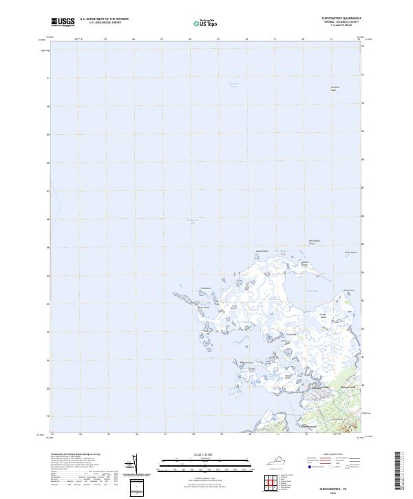 2022 Chesconessex2022 Print · USGSThe Eastern Shore's intricate marshlands and island chains are mapped here in the modern era. Trace the labyrinth of coastal guts and bays between Savage Island, Chesconessex, and the historic landing at Deep Creek.
 - 2022 Map of Chincoteague East, 2022 Print
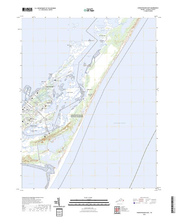 2022 Chincoteague East2022 Print · USGSThe Chincoteague and Assateague islands of Virginia are showcased here in the early 2020s, highlighting the balance between island life and wildlife preservation. Genealogists can locate numerous community sites including Assateague Village Cem, Birch Town, and Holy Ridge Cem.
 - 2022 Map of Nandua Creek, 2022 Print
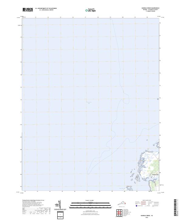 2022 Nandua Creek2022 Print · USGSCoastal Accomack County is documented here at the start of the 2020s, showing the intersection of the Eastern Shore with the Chesapeake Bay. Researchers can trace the local layout of Hacksneck and explore the natural geography of Hyslop Marsh and Milbys Point.
 - 2022 Map of Quinby Inlet, 2022 Print
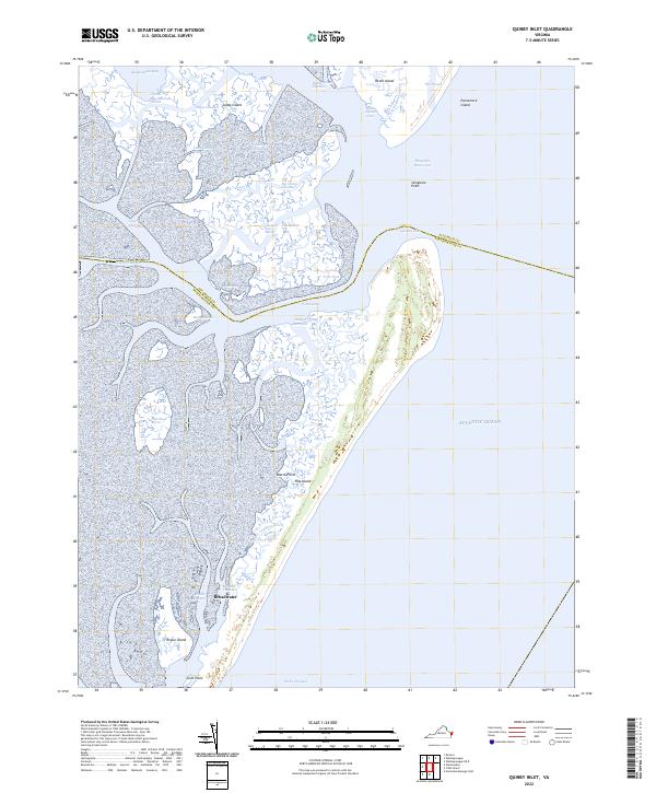 2022 Quinby Inlet2022 Print · USGSThe Virginia barrier islands and the Accomack-Northampton county line appear here in the early twenty-first century. Researchers can trace the legacy of Broadwater on Hog Island and navigate tidal passages like Quinby Inlet and The Straits.
 - 2022 Map of Nassawadox, 2022 Print
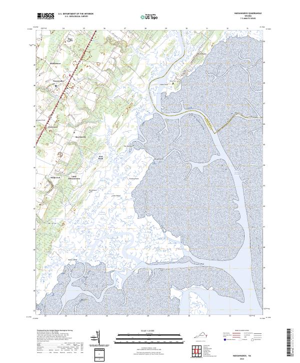 2022 Nassawadox2022 Print · USGSThe Virginia Eastern Shore is captured here at the start of the 2020s, showing the timeless intersection of peninsula farms and tidal marshes. Genealogists can trace family connections through Nassawadox, Hare Valley, and the White Cem near the coast.
 - 2022 Map of Cobb Island, 2022 Print
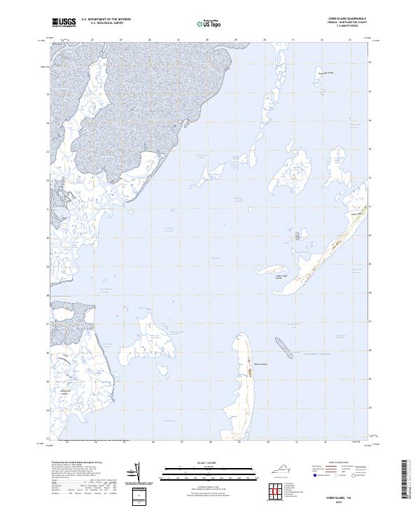 2022 Cobb Island2022 Print · USGSThe barrier islands and salt marshes of the Eastern Shore are captured in detail during this recent survey. Local historians and coastal researchers can trace the intricate tidal channels and landforms including Wreck Island, Cobb Island, and Parchaby Tump.
 - 2022 Map of North Virginia Beach, 2022 Print
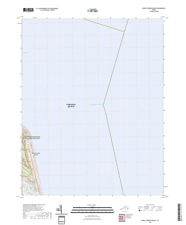 2022 North Virginia Beach2022 Print · USGSThe Virginia coastline near the mouth of the Chesapeake Bay is captured in this modern survey. Researchers can trace the layout of Atlantic University and the unique sandy terrain of The Desert along the shores of North Virginia Beach.
 - 2022 Map of Virginia Beach, 2022 Print
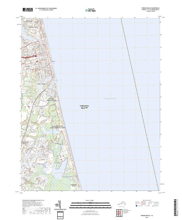 2022 Virginia Beach2022 Print · USGSVirginia Beach is documented in the early 2020s, showing the dense coastal grid and maritime landscape. Researchers can trace neighborhood development from Seatack to Sandbridge Beach and the intricate wetlands of Lake Tecumseh and Malbon Swamp.
 - 2022 Map of North Bay, 2022 Print
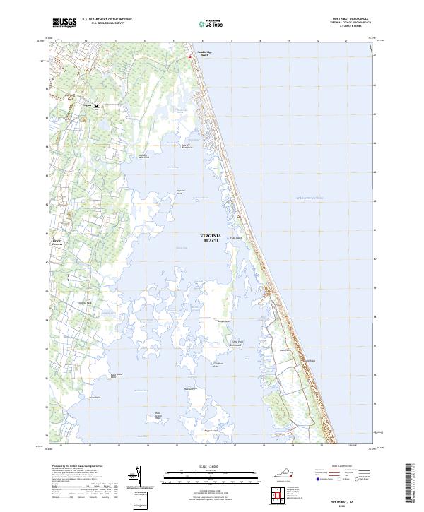 2022 North Bay2022 Print · USGSThe Virginia coastline near Sandbridge Beach is a maze of tidal bays and marshes as it appeared in recent years. Genealogists and local historians can trace the inland settlements of Sigma and Dawley Corners or locate the Willowood Cem near the edge of the wetlands.
 - 2022 Map of Pungoteague, 2022 Print
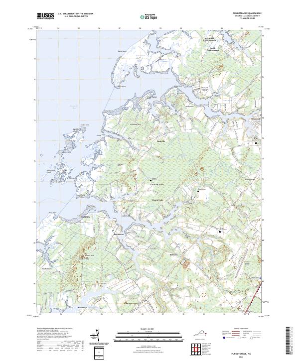 2022 Pungoteague2022 Print · USGSThe Virginia Eastern Shore is captured here in modern detail, showcasing the complex tidal landscape of Accomack County. Researchers can trace family roots at Arlington Cem or explore the historic waterfronts of Harborton and Onancock.
 - 2022 Map of Jamesville, 2022 Print
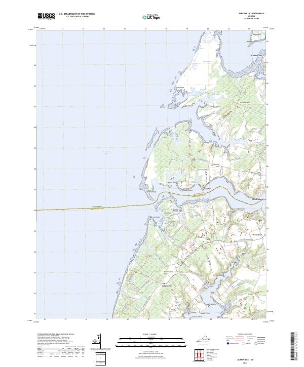 2022 Jamesville2022 Print · USGSCoastal Virginia's Eastern Shore is defined here by the intricate peninsulas and tidal marshes along the Chesapeake Bay. Researchers can trace the maritime heritage of the region through landmarks like Davis Wharf, Occohannock Neck, and the landing at Savage Point.
 - 2022 Map of Parksley, 2022 Print
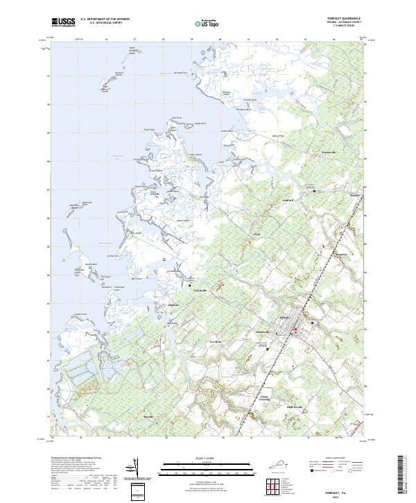 2022 Parksley2022 Print · USGSCoastal Accomack County is shown here in the early twenty-first century, featuring the structured grid of Parksley and numerous shoreline settlements. Genealogists can locate several historic burial sites, including Abrams Family Cem and the Adams United Methodist Church Cem.
 - 2022 Map of Hallwood, 2022 Print
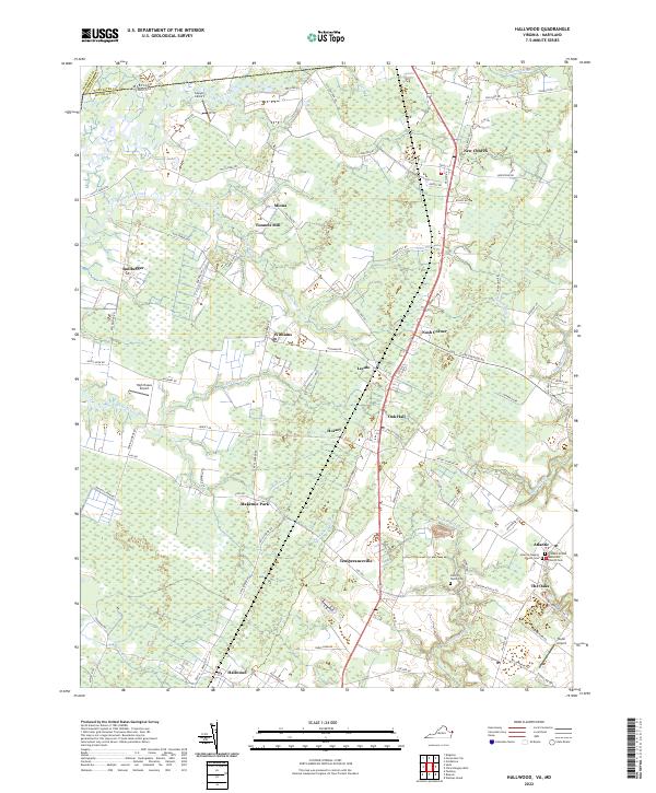 2022 Hallwood2022 Print · USGSThe Virginia and Maryland border region of the Eastern Shore is captured here in a period of rural continuity. Researchers can trace family roots through the John W Taylor Cem, locate the site of Tunnels Mill, or explore the small settlements of New Church and Temperanceville.
 - 2022 Map of Chincoteague West, 2022 Print
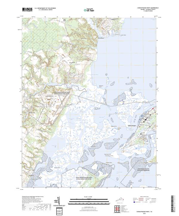 2022 Chincoteague West2022 Print · USGSCoastal Accomack County comes alive in the early 2020s, showing the intersection of maritime heritage and federal wildlife conservation. Genealogists and historians can locate numerous family burial grounds like Odd Fellows Cem and Thornton Cem near Chincoteague.
 - 2022 Map of Exmore, 2022 Print
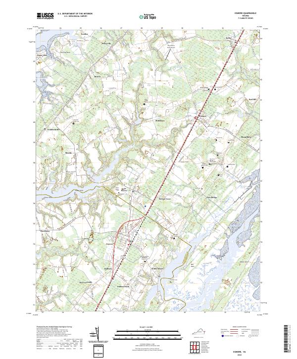 2022 Exmore2022 Print · USGSThe Eastern Shore of Virginia is detailed here in recent years, showing the narrow peninsula between the bay and the sea. Researchers can trace family sites like the Ames-Hyslop Family Cem and explore the coastal reach of Willis Wharf and Belle Haven.
 - 2022 Map of Metompkin Inlet, 2022 Print
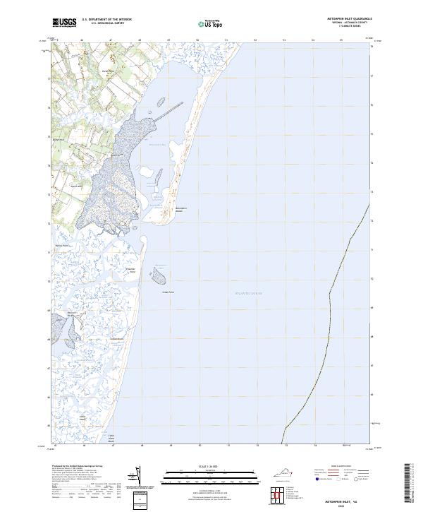 2022 Metompkin Inlet2022 Print · USGSThe Virginia coast at Metompkin Inlet reveals a landscape of shifting barrier islands and historic mainland necks in the early twenty-first century. Researchers can trace the complex tidal waterways of Metompkin Bay or locate family-named landforms like Parker Neck and Baylys Neck.
 - 2022 Map of Chincoteague East OE S, 2022 Print
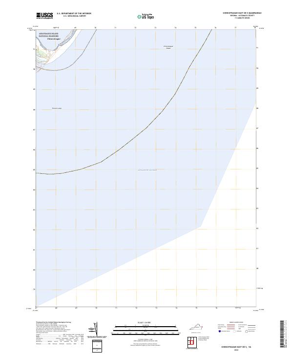 2022 Chincoteague East OE S2022 Print · USGSThe Virginia coastline and its transition into the Atlantic are captured here in the early twenty-first century. Researchers can trace the boundaries of the Chincoteague National Wildlife Refuge and locate offshore features like Turners Lump.
 - 2022 Map of Wachapreague, 2022 Print
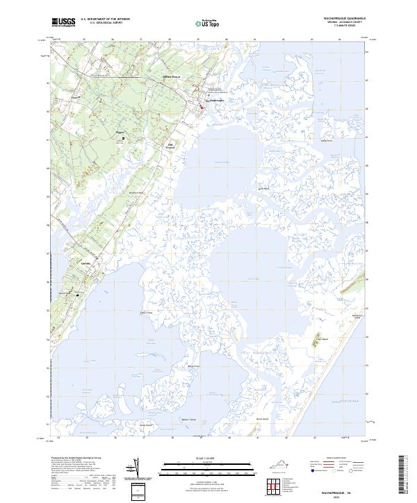 2022 Wachapreague2022 Print · USGSThe Eastern Shore of Virginia reveals its intricate maritime character in this modern survey of the marshes and barrier islands. Genealogists can locate family landmarks like Anthony Bell Cem while researchers trace the channels of Machipongo River and Bradford Bay.
 - 2022 Map of Great Fox Island, 2022 Print
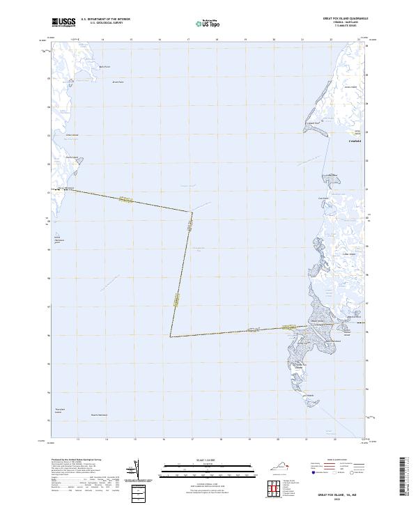 2022 Great Fox Island2022 Print · USGSThe brackish waters and marshy islands of the Chesapeake Bay are detailed here during the early twenty-first century. Researchers can trace the complex geography of the Virginia-Maryland border across Tangier Sound and locate landings at Horse Hammock and Crisfield.
 - 2022 Map of Bloxom, 2022 Print
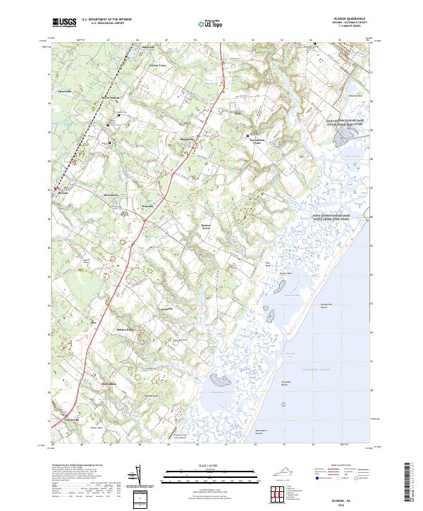 2022 Bloxom2022 Print · USGSThe Virginia Eastern Shore is captured here in its modern agricultural and maritime character. Genealogists and local researchers can trace family lines and old congregations through the Abbott Family Cem, Bloxom Cem, and Mears Station.
 - 2022 Map of Ship Shoal Inlet, 2022 Print
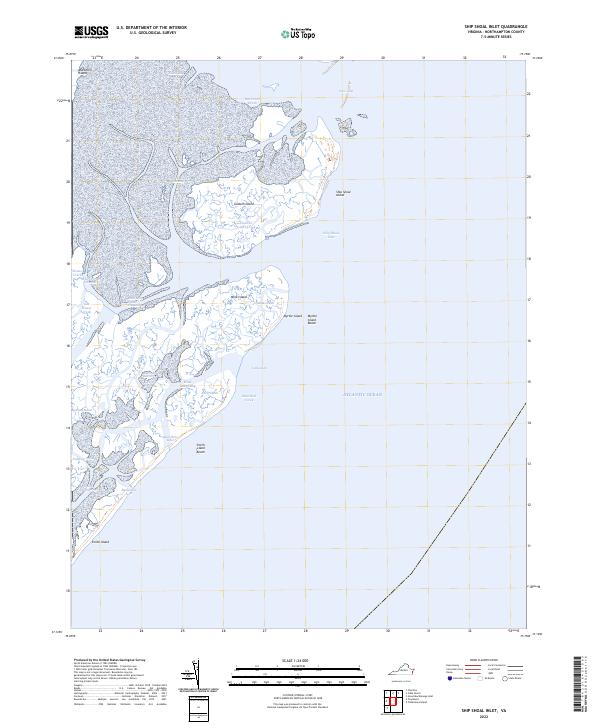 2022 Ship Shoal Inlet2022 Print · USGSNorthampton County's barrier islands and tidal marshes are captured here in the early twenty-first century. Researchers can trace the shifting sands and coastal inlets from Mockhorn Island to the remote shores of Smith Island and Myrtle Island.
 - 2022 Map of Tangier Island, 2022 Print
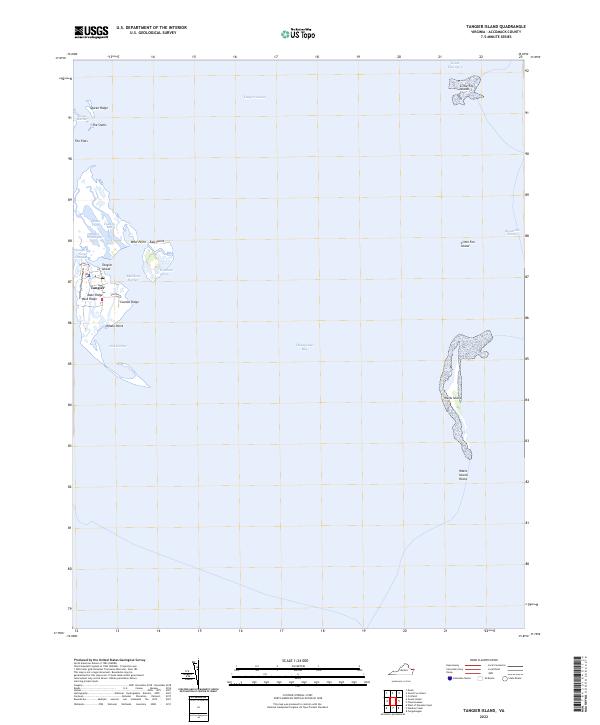 2022 Tangier Island2022 Print · USGSTangier Island remains a distinct maritime outpost in the Chesapeake Bay as seen in this 2022 survey. Genealogists and local historians can trace the community's footprint along Main Ridge and Canton Ridge, or locate landmarks like Mailboat Harbor and Whale Point.
 - 2022 Map of Fishermans Island, 2022 Print
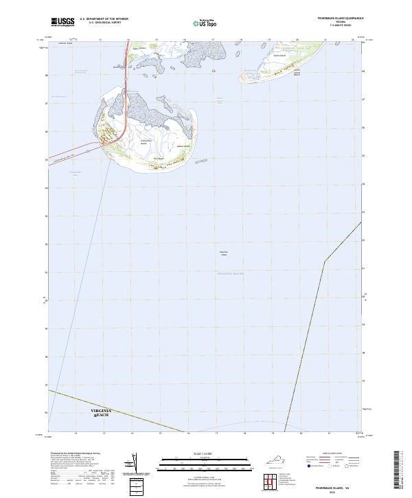 2022 Fishermans Island2022 Print · USGSThe southern tip of the Delmarva Peninsula meets the sea in this modern study of Virginia's Atlantic coastline. Researchers can trace the shifting shoals and inlets around Fishermans Island, Smith Island, and the maritime passage of Wise Point.
 - 2022 Map of Buckhorn, 2022 Print
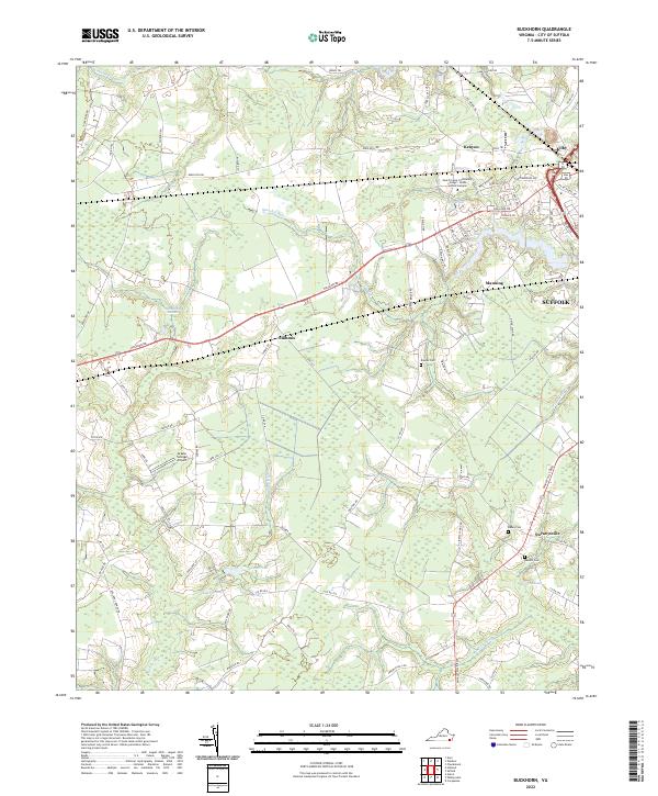 2022 Buckhorn2022 Print · USGSThe western outskirts of Suffolk appear in the early 2020s as a mix of growing residential corridors and deep swamp forests. Researchers can locate family burial sites like Rawles Cem and the Grasso Salvage Airport near Nurneysville.
Showing maps 1-25
Top cities of Virginia
- Virginia Beach historical maps
- Chesapeake historical maps
- Arlington historical maps
- Norfolk historical maps
- Richmond historical maps
- Newport News historical maps
See more
Top counties of Virginia
- Fairfax County historical maps
- Virginia Beach historical maps
- Prince William County historical maps
- Loudoun County historical maps
- Chesterfield County historical maps
- Henrico County historical maps
See more
Frequently asked questions
- What are the different types of historical maps available for Virginia?
- What is the oldest map of Virginia?
- Where can I purchase historical maps of Virginia for my home or office?
- Where can I download high-res historical maps of Virginia?
- Are there historical topographic maps available for Virginia?
- Is there historical aerial imagery available for Virginia?
- Where are historical maps of Virginia sourced from?