2000-2009 Maps of Virginia
Explore 19 historic maps of Virginia from 2000-2009. These maps offer a rare glimpse into what life looked like during the 2000s — showing old roads, neighborhoods, homes, and landmarks that have changed or disappeared over time.
Whether you're researching your family's past, planning a metal detecting trip, or studying how Virginia's landscape evolved across the 2000s, these high-resolution maps are a powerful tool for exploring the history of this region.
- Focus on a specific era: All maps on this page are from the 2000s, giving you a focused view of this time period.
- See what’s changed: Compare century-old streets, trails, and buildings to today's modern landscape using overlays and satellite layers.
- Research with precision: Use these maps for genealogy, historical research, land use analysis, or educational projects.
- View, download, or print: Maps are fully viewable online in high resolution, and can be downloaded or printed for your own records.
Start exploring Virginia's history through authentic maps from the 2000s. This is your window into the past.
Virginia maps
(19)- 2000 Map of Mouth Of Wilson, 2001 Print
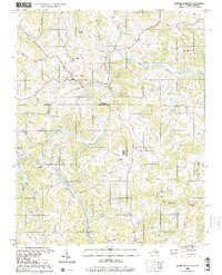 2000 Mouth Of Wilson2001 Print · USGSThe borderlands of Virginia and North Carolina are captured here at the turn of the millennium, centered on the winding New River. Researchers can trace rural lineages through numerous landmarks like Mouth of Wilson, Youngs Chapel, and Piney Creek High Sch.
 - 2000 Map of Trout Dale, 2001 Print
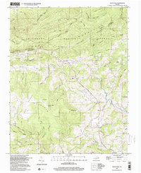 2000 Trout Dale2001 Print · USGSGrayson County's high ridges and mountain settlements are captured here as they appeared at the turn of the millennium. Researchers can locate numerous family burial sites like Blevins Cem and Fairwood Cem or trace the path of the Appalachian National Scenic Trail.
 - 2000 Map of Sparta West, 2001 Print
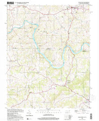 2000 Sparta West2001 Print · USGSThe North Carolina and Virginia border comes alive in the late twentieth century as the New River winds past small settlements and family farms. Trace local history through numerous rural landmarks like Osborne Memorial Ch, Penitentiary Hill, and the Drive-in Theatre.
 - 2000 Map of Whitetop Mountain, 2001 Print
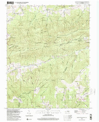 2000 Whitetop Mountain2001 Print · USGSHigh peaks and mountain gaps define the Virginia-Tennessee borderlands at the turn of the millennium. Researchers can trace the Appalachian Trail past Mt Rogers or locate rural landmarks like Rowland Creek Church and Stony Battery.
 - 2001 Map of Majestic, 2003 Print
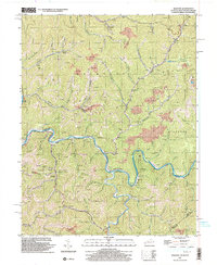 2001 Majestic2003 Print · USGSThe Central Appalachian coalfields come into focus at the turn of the millennium where the TUG FORK separates Kentucky and West Virginia. Genealogists and industrial historians can trace riverside settlements like Vulcan, Devon, and Majestic, alongside the NORFOLK AND WESTERN rail line.
 - 2001 Map of Bramwell, 2003 Print
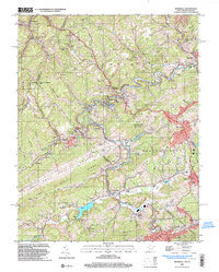 2001 Bramwell2003 Print · USGSThe West Virginia and Virginia borderlands come into focus at the turn of the millennium, revealing a landscape shaped by the coal industry and the winding Bluestone River. Genealogists can trace family names at Pocahontas Cem or find old community centers like Abbs Valley Sch and Mt Sinai Ch.
 - 2001 Map of Panther, 2003 Print
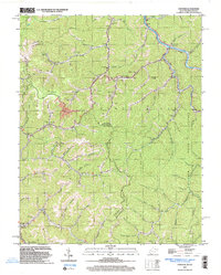 2001 Panther2003 Print · USGSPanther and the Tug river valley are captured here at the turn of the century as coal and rail still define the McDowell County landscape. Genealogists can trace family heritage through dozens of local burial sites including Sullivan Cem and Lester Cem.
 - 2001 Map of War, 2003 Print
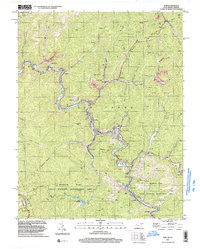 2001 War2003 Print · USGSMcDowell County's mining and mountain communities are captured here just after the turn of the millennium. Trace the industrial and family history of War, Berwind, and Bartley while following old routes along the Dry Fork.
 - 2001 Map of Anawalt, 2003 Print
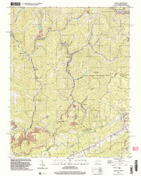 2001 Anawalt2003 Print · USGSThe West Virginia-Virginia borderlands appear at the start of the millennium, dominated by the winding rail lines and steep ridges of the coalfields. Researchers can trace local heritage through settlements like Anawalt, Jenkinjones, and Pageton, or locate several Cem sites and the Hay Ch tucked among the hollows.
 - 2001 Map of Wharncliffe, 2003 Print
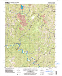 2001 Wharncliffe2003 Print · USGSThe coal country of Mingo County is captured at the turn of the millennium, showing a landscape defined by industrial mines and river-bottom settlements. Genealogists can trace family locations near Wharncliffe, War Eagle, and the Hardy Union Ch.
 - 2001 Map of Gary, 2003 Print
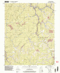 2001 Gary2003 Print · USGSThe coal country of southern West Virginia is shown at the start of the 2000s, centered on the company towns and hollows of McDowell County. Trace the industrial landscape from the Tipple at Thorpe to the scattered settlements of Elbert, Filbert, and Newhall.
 - 2002 Map of Damascus, 2004 Print
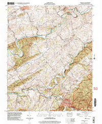 2002 Damascus2004 Print · USGSIn the early 2000s, the mountain corridors around Damascus maintained a landscape steeped in local history and milling. Researchers can trace family sites like Roe Cem, old valley schools such as Beech Grove Sch, and historic water-power sites including De Busk Mill.
 - 2002 Map of Bridgewater, 2004 Print
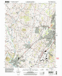 2002 Bridgewater2004 Print · USGSHarrisonburg and the surrounding Rockingham County settlements are shown at the turn of the millennium as academic and rural life intersect. Genealogists and historians can trace local landmarks like Garbers Church, the historic waters of Silver Lake, and the small community of Stemphleytown.
 - 2002 Map of Harrisonburg, 2004 Print
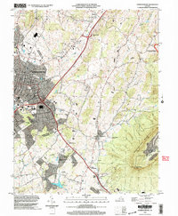 2002 Harrisonburg2004 Print · USGSHarrisonburg and the Shenandoah Valley are shown in detail at the turn of the millennium as the city expanded toward the mountains. Researchers can trace local heritage through sites like Massanetta Springs, the Ashby Monument, and Keezletown.
 - 2002 Map of Mount Sidney, 2004 Print
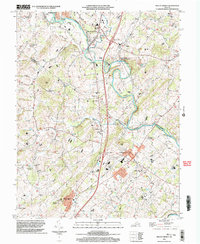 2002 Mount Sidney2004 Print · USGSThe Shenandoah Valley corridor near the Rockingham and Augusta county line is documented here just after the turn of the millennium. Genealogists and local historians can trace legacy sites like St Michaels Ch, the Old Salem Cem, and the rural community of Burketown.
 - 2003 Map of Grayson, 2004 Print
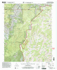 2003 Grayson2004 Print · USGSThe tri-state borderlands of Tennessee, Virginia, and North Carolina are mapped here during the early 2000s. Researchers can locate remote family landmarks and rural institutions, from Burnt School Cem to Farmers Store and Big Laurel Ch.
 - 2003 Map of Shady Valley, 2004 Print
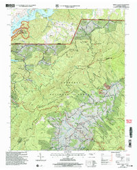 2003 Shady Valley2004 Print · USGSSullivan and Johnson counties in the early 2000s show a mountain landscape defined by national forests and the South Holston Lake shoreline. Genealogists can locate family burial grounds like Potter Cem and Wyatt Cem alongside the historic Appalachian Trail.
 - 2003 Map of Bristol, 2004 Print
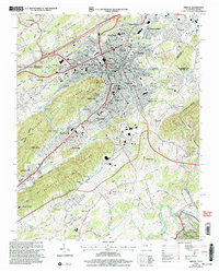 2003 Bristol2004 Print · USGSBristol enters the new millennium as a bustling twin-city hub at the Tennessee-Virginia border, where industry and education meet the Appalachian foothills. Trace family roots at Citizens Cem or locate the historic Union Depot and Sullins College amid the city's growth.
 - 2003 Map of Holston Valley, 2004 Print
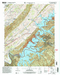 2003 Holston Valley2004 Print · USGSThe South Fork Holston River valley and the expanding suburbs of Bristol are captured here at the turn of the twenty-first century. Genealogists can locate family landmarks like Ketron Cem, Stophel Cem, and the Holston Valley Sch.
End of results
Showing maps 1-19 of 19
Top cities of Virginia
- Virginia Beach historical maps
- Chesapeake historical maps
- Arlington historical maps
- Norfolk historical maps
- Richmond historical maps
- Newport News historical maps
See more
Top counties of Virginia
- Fairfax County historical maps
- Virginia Beach historical maps
- Prince William County historical maps
- Loudoun County historical maps
- Chesterfield County historical maps
- Henrico County historical maps
See more
Frequently asked questions
- What are the different types of historical maps available for Virginia?
- What is the oldest map of Virginia?
- Where can I purchase historical maps of Virginia for my home or office?
- Where can I download high-res historical maps of Virginia?
- Are there historical topographic maps available for Virginia?
- Is there historical aerial imagery available for Virginia?
- Where are historical maps of Virginia sourced from?