1970s Maps of Prince William County, Virginia
Explore 13 historic maps of Prince William County from the 1970s. These maps offer a rare glimpse into what life looked like during the 1970s — showing old roads, neighborhoods, homes, and landmarks that have changed or disappeared over time.
Whether you're researching your family's past, planning a metal detecting trip, or studying how Prince William County's landscape evolved across the 1970s, these high-resolution maps are a powerful tool for exploring the history of this region.
- Focus on a specific era: All maps on this page are from the 1970s, giving you a focused view of this time period.
- See what’s changed: Compare century-old streets, trails, and buildings to today's modern landscape using overlays and satellite layers.
- Research with precision: Use these maps for genealogy, historical research, land use analysis, or educational projects.
- View, download, or print: Maps are fully viewable online in high resolution, and can be downloaded or printed for your own records.
Start exploring Prince William County's history through authentic maps from the 1970s. This is your window into the past.
Prince William County, VA maps
(13)- 1972 Map of Gainesville, 1974 Print
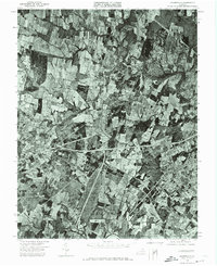 1972 Gainesville1974 Print · USGSGainesville appears at a pivotal moment in the early seventies, caught between its rural agricultural past and its suburban future. Researchers can trace the original field patterns and wooded tracts along Bull Run or examine the early layout of Gainesville.
 - 1977 Map of Gainesville
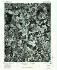 1977 Gainesville1977 Print · USGSPrince William County is seen in the late 1970s, captured in detailed aerial photography before the height of its modern expansion. Researchers can trace the original footprints of Gainesville and Manassas or locate rural landmarks near Sudley Springs.
 - 1977 Map of Middleburg, 1979 Print
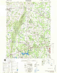 1977 Middleburg1979 Print · USGSNorthern Virginia in the late seventies reveals a landscape transitioning from rural estate country to a growing suburban corridor. Researchers can locate significant Civil War sites at Manassas National Battlefield Park and trace family names through Buchannon Gap Cem or the Linton Hall Military Sch.
 - 1977 Map of Indian Head, 1982 Print
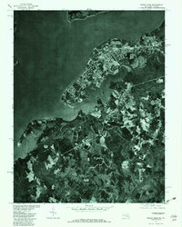 1977 Indian Head1982 Print · USGSThe Potomac River and the Maryland shoreline are captured in detail during the late 1970s through this aerial orthophoto. Researchers can trace the exact layout of settlements like Indian Head and Marbury or the winding Mattawoman Creek.
 - 1977 Map of Fort Belvoir, 1982 Print
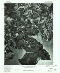 1977 Fort Belvoir1982 Print · USGSNorthern Virginia's riverfront and developing suburbs are shown in detail during the late seventies. Researchers can trace the layout of Newington and Lorton or examine the shoreline near Gunston Cove and Occoquan Bay.
 - 1977 Map of Nokesville, 1982 Print
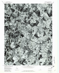 1977 Nokesville1982 Print · USGSNorthern Virginia was a landscape of patchwork farms and winding streams in the late seventies, just before major suburban shifts. Researchers can trace property lines and old road alignments connecting Nokesville, Bristow, and the historic area of Brentsville.
 - 1977 Map of Independent Hill, 1982 Print
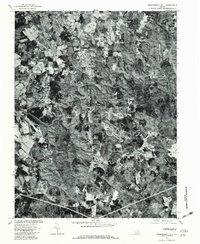 1977 Independent Hill1982 Print · USGSPrince William County undergoes visible change in the late seventies as residential growth meets old rural crossroads. Trace the development of Brentsville and Longview or follow the path of Bull Run to the Occoquan Reservoir.
 - 1977 Map of Manassas, 1982 Print
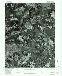 1977 Manassas1982 Print · USGSFairfax County undergoes rapid suburbanization in the late seventies, captured in high-contrast aerial imagery. Trace the evolving street patterns of Manassas and Manassas Park or follow the natural bends of Bull Run and Clifton.
 - 1977 Map of Occoquan, 1982 Print
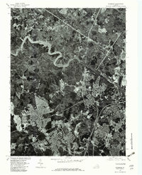 1977 Occoquan1982 Print · USGSNorthern Virginia suburban development meets the water during the late seventies, showing the rapid growth of residential tracts. Trace the expansion of Dale City and Woodbridge alongside the Occoquan Reservoir.
 - 1977 Map of Arcola, 1982 Print
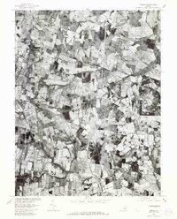 1977 Arcola1982 Print · USGSLoudoun County, Virginia, is captured in the late seventies just as its rural landscape remained dominated by traditional agriculture. Genealogists and land researchers can pinpoint specific farmsteads near Arcola, Watson, and the southern banks of Bull Run.
 - 1977 Map of Thoroughfare Gap, 1982 Print
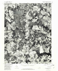 1977 Thoroughfare Gap1982 Print · USGSNorthern Virginia in the late seventies is captured in this aerial survey as rural tracts began to meet modern expansion. Genealogists and local historians can trace the property lines and road networks around Haymarket, Buckland, and Antioch.
 - 1977 Map of Quantico, 1982 Print
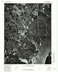 1977 Quantico1982 Print · USGSThe Potomac shoreline in Northern Virginia appears in sharp aerial detail during the late seventies, showing the transition from historic river towns to modern suburban centers. Genealogists and historians can study the precise layouts of Dumfries and Quantico alongside the tidal reaches of Quantico Creek.
 - 1977 Map of Middleburg, 1982 Print
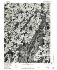 1977 Middleburg1982 Print · USGSLoudoun County horse country is captured in the late seventies through detailed aerial photography. Genealogists and researchers can trace the precise layout of properties and roads connecting Middleburg, Aldie, and Halfway.
End of results
Showing maps 1-13 of 13
Top cities of Prince William County
- Dale City historical maps
- Lake Ridge historical maps
- Woodbridge historical maps
- Linton Hall historical maps
- Cherry Hill historical maps
- Montclair historical maps
See more
Frequently asked questions
- What are the different types of historical maps available for Prince William County?
- What is the oldest map of Prince William County?
- Where can I purchase historical maps of Prince William County for my home or office?
- Where can I download high-res historical maps of Prince William County?
- Are there historical topographic maps available for Prince William County?
- Is there historical aerial imagery available for Prince William County?
- Where are historical maps of Prince William County sourced from?