2010s Maps of Virginia Beach, Virginia
Explore 55 historic maps of Virginia Beach from the 2010s. These maps offer a rare glimpse into what life looked like during the 2010s — showing old roads, neighborhoods, homes, and landmarks that have changed or disappeared over time.
Whether you're researching your family's past, planning a metal detecting trip, or studying how Virginia Beach's landscape evolved across the 2010s, these high-resolution maps are a powerful tool for exploring the history of this region.
- Focus on a specific era: All maps on this page are from the 2010s, giving you a focused view of this time period.
- See what’s changed: Compare century-old streets, trails, and buildings to today's modern landscape using overlays and satellite layers.
- Research with precision: Use these maps for genealogy, historical research, land use analysis, or educational projects.
- View, download, or print: Maps are fully viewable online in high resolution, and can be downloaded or printed for your own records.
Start exploring Virginia Beach's history through authentic maps from the 2010s. This is your window into the past.
Virginia Beach, VA maps
(55)- 2010 Map of Cape Henry, 2010 Print
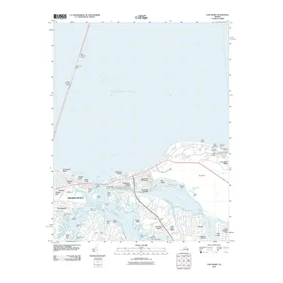 2010 Cape Henry2010 Print · USGSCoastal Virginia Beach and the entrance to the Chesapeake Bay are captured here at a time of significant maritime and suburban development. Researchers can trace the legacy of the historic lighthouse district at Cape Henry or locate local landmarks like the Lesner Bridge and Church Point.
 - 2010 Map of Knotts Island OE E, 2010 Print
 2010 Knotts Island OE E2010 Print · USGSThe northern reaches of the Outer Banks are captured here at the turn of the decade, showing the unique isolated settlement at the Virginia border. Genealogists and coastal researchers can trace the layout of Carova and the terrain of Sand Ridge along the coast.
 - 2010 Map of Knotts Island, 2010 Print
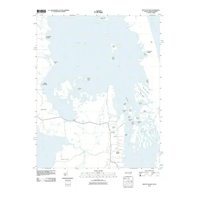 2010 Knotts Island2010 Print · USGSKnotts Island and the Currituck Sound marshes are captured in the early twenty-first century as a labyrinth of islands and landings. Trace local family geography and coastal access points from Knotts Island Post Office to Campbells Landing and Corys.
 - 2010 Map of North Virginia Beach, 2010 Print
 2010 North Virginia Beach2010 Print · USGSThe northern coastal reaches of Virginia Beach are captured here in the early twenty-first century as suburban neighborhoods meet the sea. Local historians and residents can trace the layout of Cape Henry Village, Cavalier Park, and the waters of Crystal Lake.
 - 2010 Map of North Bay, 2010 Print
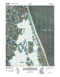 2010 North Bay2010 Print · USGSThe Virginia coast at the dawn of the twenty-first century is captured here, showing the delicate balance of the barrier island and its internal bays. Researchers can find coastal settlements like Sandbridge Beach and Hill Landing alongside the Charity Cemetery.
 - 2010 Map of Virginia Beach, 2010 Print
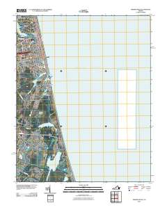 2010 Virginia Beach2010 Print · USGSThe Virginia Beach oceanfront and its coastal lagoons are documented here at the start of the 2010s. Researchers can trace the development of Seatack, the expanse of Dam Neck, and family-named landmarks like Rainey Point and Bird Neck Point.
 - 2011 Map of Fentress, 2011 Print
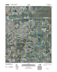 2011 Fentress2011 Print · USGSChesapeake is captured in the early twenty-first century, showing the intersection of maritime industry and suburban expansion. Researchers can locate family landmarks near Hickory Ground, Mount Pleasant Cemetery, and the Fentress settlement.
 - 2011 Map of Little Creek, 2011 Print
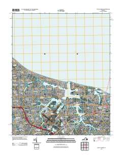 2011 Little Creek2011 Print · USGSCoastal Virginia at the start of the 2010s shows a landscape defined by dense neighborhood growth and strategic maritime infrastructure. Researchers can trace local developments like Hewitt Farm and Cottage Park or locate landmarks like Little Creek Dam.
 - 2011 Map of Creeds, 2011 Print
 2011 Creeds2011 Print · USGSCoastal Virginia and North Carolina appear in this early 21st-century record of the marshlands near the North Landing River. Researchers can trace local lineage at Oak Grove Cemetery or explore the historic riverfronts at Pungo Ferry and Munden Point.
 - 2011 Map of Pleasant Ridge, 2011 Print
 2011 Pleasant Ridge2011 Print · USGSThe rural stretches of southern Virginia Beach are documented here in the early 21st century. Researchers can trace family roots through settlements like Land of Promise, visit the Charity Cemetery, and locate the Back Bay Station Virginia Beach Post Office.
 - 2011 Map of Kempsville, 2011 Print
 2011 Kempsville2011 Print · USGSThe Tidewater region at the turn of the decade shows the meeting of three major cities amidst tidal rivers and inlets. Researchers can trace local landmarks like Woodlawn Memorial Gardens, Regent University, and the Thomas Corner Station Norfolk Post Office.
 - 2011 Map of Princess Anne, 2011 Print
 2011 Princess Anne2011 Print · USGSCoastal Virginia Beach at the start of the 2010s shows a landscape where military aviation and suburban growth meet historic Tidewater waterways. Researchers can locate family sites and landmarks like Wolfsnare Plantation, the Princess Anne Post Office, and Nimmo Cemetery.
 - 2011 Map of Fishermans Island, 2011 Print
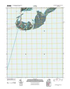 2011 Fishermans Island2011 Print · USGSThe tip of the Delmarva Peninsula meets the sea in this early twenty-first-century survey of Virginia's coastal threshold. Maritime researchers can trace the navigational landmarks of Smith Island, the Cape Charles Lighthouse, and the crossing at Fishermans Inlet Bridge.
 - 2013 Map of Knotts Island OE E, 2013 Print
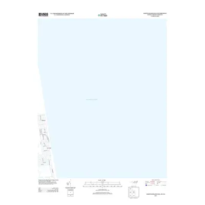 2013 Knotts Island OE E2013 Print · USGSThe northern reaches of the Outer Banks appear here in the early twenty-first century, showing the remote coastal fringe of Currituck County. Genealogists and local historians can trace the development of beach communities like Carova and Sand Ridge along Sandpiper Rd.
 - 2013 Map of Knotts Island, 2013 Print
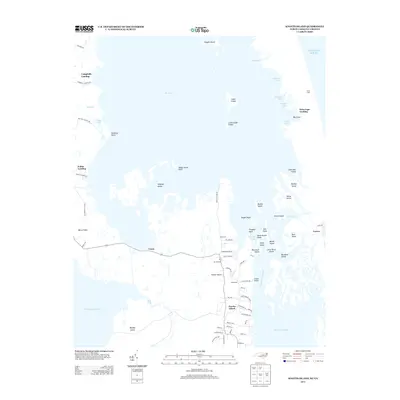 2013 Knotts Island2013 Print · USGSNorth Carolina's outer coastal marshes and the isolated community of Knotts Island are meticulously documented in this early twenty-first-century survey. Genealogists and local historians can trace family properties and landings near Corys, Woodleigh, and the historic Mackay Island.
 - 2013 Map of Fentress, 2013 Print
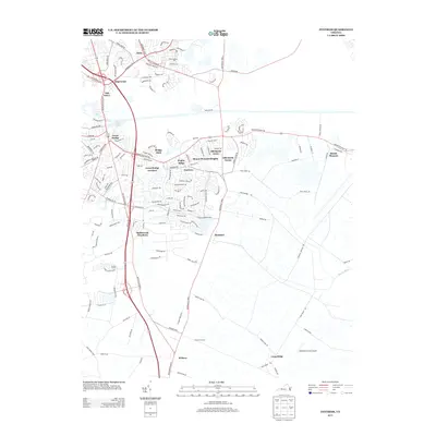 2013 Fentress2013 Print · USGSChesapeake's suburban and rural character is caught in transition during the early twenty-first century. Genealogists and local historians can trace family landholdings and modern developments from Atlantic Yacht Basin to Hickory Ground and Weatherly & Son Airport.
 - 2013 Map of Pleasant Ridge, 2013 Print
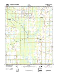 2013 Pleasant Ridge2013 Print · USGSThe Virginia Beach lowlands are captured here in the early twenty-first century, showcasing the wetland networks of the North Landing River. Researchers can trace old settlement patterns at Pungo and Dawley Corners or locate the Virginia Beach Airport.
 - 2013 Map of Kempsville, 2013 Print
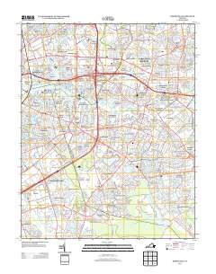 2013 Kempsville2013 Print · USGSThe Virginia Tidewater landscape is seen here in the early twenty-first century as a complex network of established residential communities and navigable waterways. Genealogists and local historians can trace suburban developments from Aragona Village to Pembroke Manor or find landmarks like the Girl Scout Camp and Lake Taylor.
 - 2013 Map of Creeds, 2013 Print
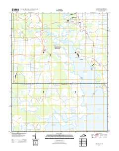 2013 Creeds2013 Print · USGSThe coastal wetlands and rural crossroads of the Virginia-North Carolina border are captured here in the early twenty-first century. Researchers can trace local landmarks like Pungo Ferry, Bingo Berry Marina, and the small community of Creeds.
 - 2013 Map of Princess Anne, 2013 Print
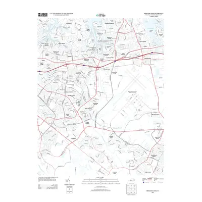 2013 Princess Anne2013 Print · USGSCoastal Virginia Beach and the expansive Oceana Naval Air Station are shown here during a period of significant suburban density. Researchers can trace the layout of historical crossroads and local landmarks like Old Donation Church, Mt Trashmore, and Wolfsnare Plantation.
 - 2013 Map of Cape Henry, 2013 Print
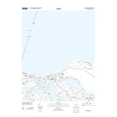 2013 Cape Henry2013 Print · USGSThe Virginia Beach coast at the turn of the millennium shows a landscape defined by historic maritime navigation and modern residential growth. Trace the development of Lynnhaven Shores and Bay Island, or locate landmarks like the Old Cape Henry Lighthouse and the Thimble Shoal Channel Tunnel.
 - 2013 Map of Little Creek, 2013 Print
 2013 Little Creek2013 Print · USGSThe coastal neighborhoods of Norfolk and Virginia Beach are captured here in the early twenty-first century as the region’s aviation and maritime hubs continued to mature. Researchers can trace the layout of residential tracts like Hewitt Farm and East Ocean View or locate landmarks like the Norfolk Botanical Garden.
 - 2013 Map of Fishermans Island, 2013 Print
 2013 Fishermans Island2013 Print · USGSThe southern tip of the Delmarva Peninsula comes into focus in this early twenty-first-century survey of Virginia's barrier islands. Trace the path of the Lankford Hwy across Wise Point and locate maritime landmarks like the Cape Charles Lighthouse.
 - 2013 Map of Virginia Beach, 2013 Print
 2013 Virginia Beach2013 Print · USGSVirginia Beach and its immediate coastal neighborhoods are shown in detail during a period of modern development along the Atlantic shore. Genealogists and local historians can trace residential growth from Linkhorn Park down to Dam Neck, identifying local landmarks like Rudee Inlet and Croatan Beach.
 - 2013 Map of North Bay, 2013 Print
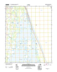 2013 North Bay2013 Print · USGSThe Virginia Beach coastline and its intricate back-bay marshes are documented here during a period of modern coastal development. Trace family landmarks and old landings from Sandbridge Beach to inland settlements like Dawley Corners and Hill Landing.
Showing maps 1-25 of 55
Top cities of Virginia Beach
Frequently asked questions
- What are the different types of historical maps available for Virginia Beach?
- What is the oldest map of Virginia Beach?
- Where can I purchase historical maps of Virginia Beach for my home or office?
- Where can I download high-res historical maps of Virginia Beach?
- Are there historical topographic maps available for Virginia Beach?
- Is there historical aerial imagery available for Virginia Beach?
- Where are historical maps of Virginia Beach sourced from?