2010s Maps of Okanogan County, Washington
Explore 432 historic maps of Okanogan County from the 2010s. These maps offer a rare glimpse into what life looked like during the 2010s — showing old roads, neighborhoods, homes, and landmarks that have changed or disappeared over time.
Whether you're researching your family's past, planning a metal detecting trip, or studying how Okanogan County's landscape evolved across the 2010s, these high-resolution maps are a powerful tool for exploring the history of this region.
- Focus on a specific era: All maps on this page are from the 2010s, giving you a focused view of this time period.
- See what’s changed: Compare century-old streets, trails, and buildings to today's modern landscape using overlays and satellite layers.
- Research with precision: Use these maps for genealogy, historical research, land use analysis, or educational projects.
- View, download, or print: Maps are fully viewable online in high resolution, and can be downloaded or printed for your own records.
Start exploring Okanogan County's history through authentic maps from the 2010s. This is your window into the past.
Okanogan County, WA maps
(432)- 2011 Map of Mica Mountain, 2011 Print
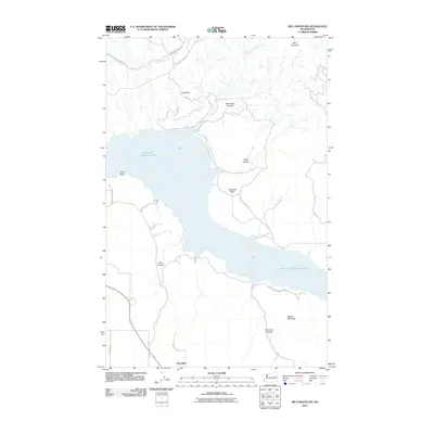 2011 Mica Mountain2011 Print · USGSOkanogan County's landscape is defined by the massive reach of Franklin D Roosevelt Lake and the Colville Indian Reservation in the early twenty-first century. Genealogists and local historians can trace family-named routes near Hesseltine or explore the rugged canyons of Neal Canyon and Kwei Kwei Canyon.
 - 2011 Map of Grand Coulee Dam, 2011 Print
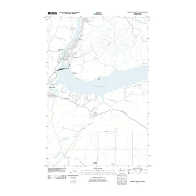 2011 Grand Coulee Dam2011 Print · USGSThe engineering feat of the dam and its surrounding reservoir communities are shown here in the early twenty-first century. Researchers can trace local development from Mason City to Bagdad Junction, alongside landmarks like the Coulee Dam Seaplane Base.
 - 2011 Map of Rat Lake, 2011 Print
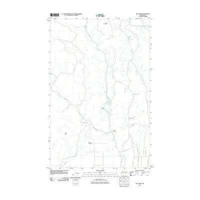 2011 Rat Lake2011 Print · USGSOkanogan County highlands are revealed in this early twenty-first-century survey of the terrain surrounding Rat Lake. Genealogists and local historians can trace mountain access roads and find landmarks like Harmony Heights, Rat Lake Dam, and Rowel Canyon.
 - 2011 Map of The Pothole, 2011 Print
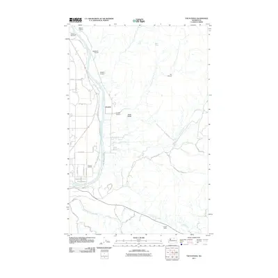 2011 The Pothole2011 Print · USGSOkanogan County near the river's edge is captured here in the early 2010s, showing the intersection of tribal lands and local settlements. Researchers can trace land use near North Omak, locate the Riverview Cemetery, and identify geographic landmarks like The Pothole.
 - 2011 Map of Brewster, 2011 Print
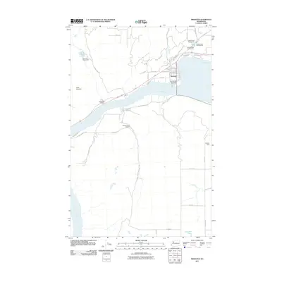 2011 Brewster2011 Print · USGSThe Columbia River valley around Brewster is documented here during the early twenty-first century as a landscape of orchards and reservoirs. Researchers can trace the town's street grid near McKie Pond or locate landmarks like Tenas Mountain and Alexander Lake.
 - 2011 Map of Sanderson Creek, 2011 Print
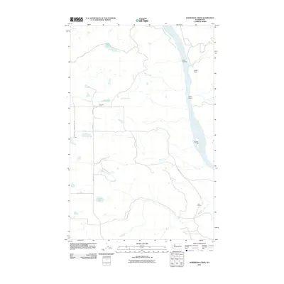 2011 Sanderson Creek2011 Print · USGSThe high plateaus of Okanogan County met the river valley in 2011, showing a landscape defined by isolated homesteads and seasonal waters. Researchers can locate rural educational landmarks like Rock Lake School or trace the course of Sanderson Creek to the banks of the Columbia River.
 - 2011 Map of Omak Lake, 2011 Print
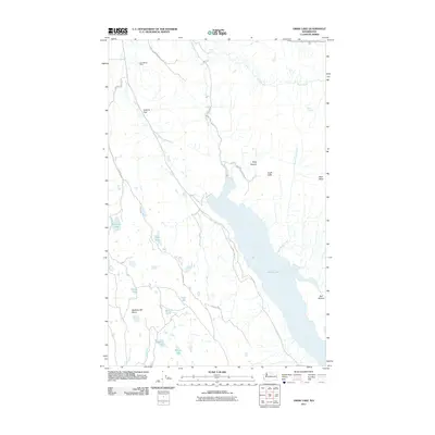 2011 Omak Lake2011 Print · USGSOkanogan County’s high plateau and the expansive Omak Lake are documented here in the early twenty-first century within the Colville Indian Reservation. Researchers can trace the layout of Saintmarys Farm and locate landmarks like Mission Falls or the rugged Eagle Cliffs.
 - 2011 Map of Stubblefield Point, 2011 Print
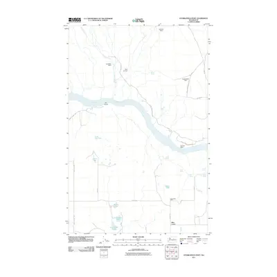 2011 Stubblefield Point2011 Print · USGSDouglas County and the Colville Indian Reservation are captured here in the early twenty-first century, divided by the winding Columbia River. Researchers can locate rural landmarks like the Ragged Butte School and trace water rights through Nilles Corner and the Klinkhammer Lakes.
 - 2011 Map of Okanogan, 2011 Print
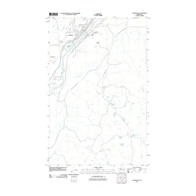 2011 Okanogan2011 Print · USGSNorth-central Washington's river-fed valley and high plateau are captured here in the early twenty-first century. Researchers can trace the layout of Okanogan, identify landmarks like the Okanogan Post Office, or locate remote water bodies such as Rimrock Lake and Cameron Lake.
 - 2011 Map of Moses Mountain, 2011 Print
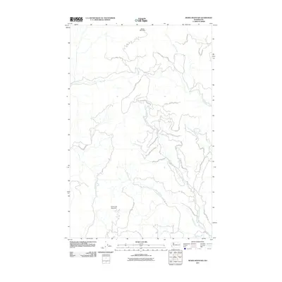 2011 Moses Mountain2011 Print · USGSThe Okanogan highlands in the early twenty-first century are shown here as a vast reach of the Colville Indian Reservation. Researchers can trace the drainage of Omak Creek and find access routes like BIA 1022 Rd near Moses Mountain.
 - 2011 Map of Boot Mountain, 2011 Print
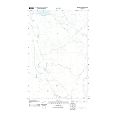 2011 Boot Mountain2011 Print · USGSOkanogan County’s tribal lands are shown here in the early twenty-first century, centered on high-desert plateaus and the southern shore of Omak Lake. Researchers can trace the network of BIA roads reaching landmarks like Balance Rock and the remote Goose Flats.
 - 2011 Map of Camp Seven, 2011 Print
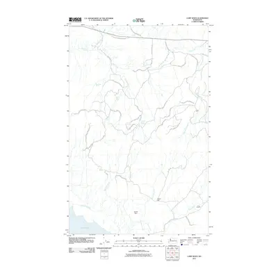 2011 Camp Seven2011 Print · USGSThe Colville Indian Reservation in northern Washington is shown here in the early twenty-first century, revealing a landscape of remote camps and vital water sources. Researchers can trace the routes of Dutch Anderson Rd or locate historical points like Camp Seven and Wise Camp Spring.
 - 2011 Map of Omak Mountain, 2011 Print
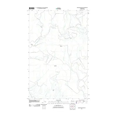 2011 Omak Mountain2011 Print · USGSOkanogan County’s high country within the Colville Indian Reservation is documented here as it appeared in the early 21st century. Researchers can locate remote water sources like Crusoe Spring and trace historic routes including Clough Homestead Rd near Omak Mountain.
 - 2011 Map of Bridgeport Point, 2011 Print
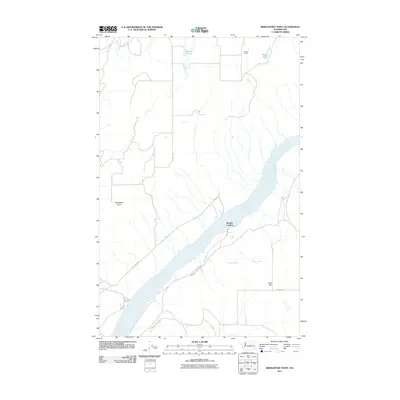 2011 Bridgeport Point2011 Print · USGSThe Columbia River dominates this Douglas County landscape in the early twenty-first century, shaping the rural settlements and orchards of the region. Researchers can trace land use through Brandts Landing, the Bedard School, and the recreational grounds of Bridgeport State Park.
 - 2011 Map of Hopkins Canyon, 2011 Print
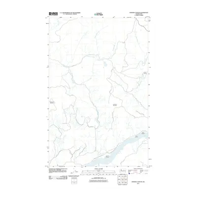 2011 Hopkins Canyon2011 Print · USGSThe Colville Indian Reservation in the early twenty-first century is a landscape of high summits and deep canyons. Researchers can trace the flow of the Columbia River and the winding paths of Omak Lake Columbia River Rd and Coyote Creek.
 - 2011 Map of Monse, 2011 Print
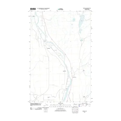 2011 Monse2011 Print · USGSThe Okanogan River valley in north-central Washington comes into focus during the early 2000s, showing a landscape of riverside settlements and plateau farms. Genealogists and local historians can locate Monse, Ophir, and the Fort Okanogan Memorial Cemetery.
 - 2011 Map of Bridgeport, 2011 Print
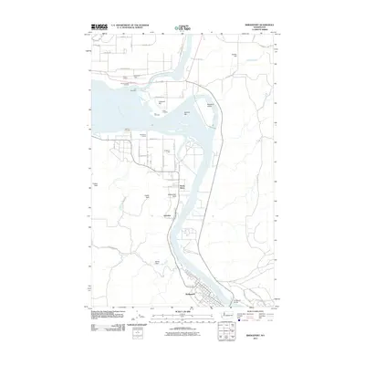 2011 Bridgeport2011 Print · USGSThe Columbia and Okanogan rivers converge here in north-central Washington during the early twenty-first century. Local historians can locate the site of Fort Okanogan, the Indian Cemetery, and the riverside layout of Old Port Columbia and Bridgeport.
 - 2011 Map of Alameda Flat, 2011 Print
 2011 Alameda Flat2011 Print · USGSOsborne Corner and the surrounding Douglas County plateau are shown here as they appeared in the early 2010s. Local history researchers can trace the rural network of Rex School, Alameda Flat, and distinctive natural landmarks like Balloon Rock and Wilson Butte.
 - 2011 Map of Nespelem NE, 2011 Print
 2011 Nespelem NE2011 Print · USGSThe Okanogan highlands show a complex landscape of creek drainages and Bureau of Indian Affairs routes in the early twenty-first century. Researchers can trace the winding course of the Little Nespelem River and find access roads like Owhi Lake Rd and Keller Butte Rd.
 - 2011 Map of Keller Butte, 2011 Print
 2011 Keller Butte2011 Print · USGSOkanogan County’s high country in the early twenty-first century is defined by the steep drainages surrounding Keller Butte. Researchers can trace old family-named routes and watercourses like Moses Rd, Peter Dan Creek, and the shoreline of Buffalo Lake.
 - 2011 Map of Nespelem, 2011 Print
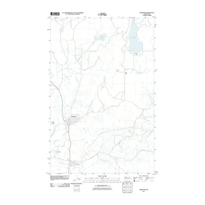 2011 Nespelem2011 Print · USGSNespelem and the surrounding Colville Reservation lands are documented here in the early twenty-first century. Researchers can trace the tribal infrastructure near the Colville Indian Agency or locate remote water features like Owhi Lake Dam and Joe Moses Creek.
 - 2011 Map of Stepstone Creek, 2011 Print
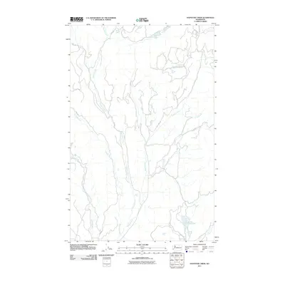 2011 Stepstone Creek2011 Print · USGSThe Okanogan highlands in the early 21st century remain a landscape defined by its waterways and tribal road networks. Researchers can trace the drainages of Stepstone Creek and the Nespelem River past Gold Lake and Owhi Lake.
 - 2011 Map of Central Peak, 2011 Print
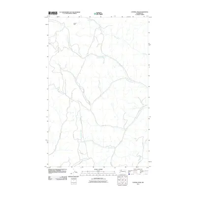 2011 Central Peak2011 Print · USGSOkanogan County's upland drainages and ridgelines are captured here in the early twenty-first century. Researchers can trace the network of BIA roads and watercourses like North Nanamkin Creek, Bear Creek, and the area surrounding Central Peak.
 - 2011 Map of Belvedere, 2011 Print
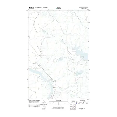 2011 Belvedere2011 Print · USGSElmer City and the banks of the Columbia River are captured here in the early twenty-first century. Researchers can trace riverside settlements from Koontzville to Belvedere and locate landmarks like the Seatons Lake Dam and Buffalo Lake.
 - 2011 Map of Coleman Hill, 2011 Print
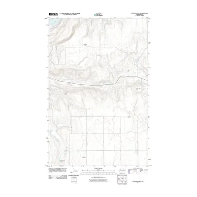 2011 Coleman Hill2011 Print · USGSThe high plateau of Okanogan County appears in the early 2010s, showing a landscape of remote cattle country and dryland draws. Researchers can locate family landmarks and water sources like Buckingham, Ruben Blue Spring, and the high point of Coleman Hill.
Showing maps 1-25 of 432
Top cities of Okanogan County
- Omak historical maps
- Okanogan historical maps
- Brewster historical maps
- Oroville historical maps
- Tonasket historical maps
- Twisp historical maps
See more
Frequently asked questions
- What are the different types of historical maps available for Okanogan County?
- What is the oldest map of Okanogan County?
- Where can I purchase historical maps of Okanogan County for my home or office?
- Where can I download high-res historical maps of Okanogan County?
- Are there historical topographic maps available for Okanogan County?
- Is there historical aerial imagery available for Okanogan County?
- Where are historical maps of Okanogan County sourced from?