2020s Maps of Okanogan County, Washington
Explore 298 historic maps of Okanogan County from the 2020s. These maps offer a rare glimpse into what life looked like during the 2020s — showing old roads, neighborhoods, homes, and landmarks that have changed or disappeared over time.
Whether you're researching your family's past, planning a metal detecting trip, or studying how Okanogan County's landscape evolved across the 2020s, these high-resolution maps are a powerful tool for exploring the history of this region.
- Focus on a specific era: All maps on this page are from the 2020s, giving you a focused view of this time period.
- See what’s changed: Compare century-old streets, trails, and buildings to today's modern landscape using overlays and satellite layers.
- Research with precision: Use these maps for genealogy, historical research, land use analysis, or educational projects.
- View, download, or print: Maps are fully viewable online in high resolution, and can be downloaded or printed for your own records.
Start exploring Okanogan County's history through authentic maps from the 2020s. This is your window into the past.
Okanogan County, WA maps
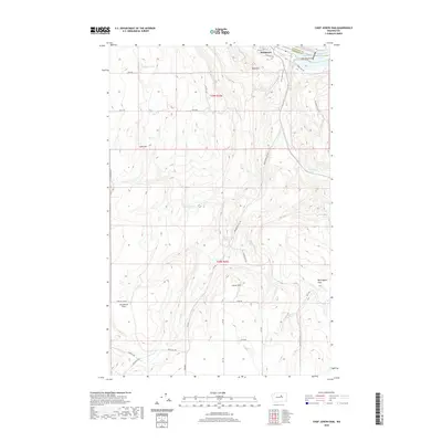
(298)- 2020 Map of Mica Mountain, 2020 Print
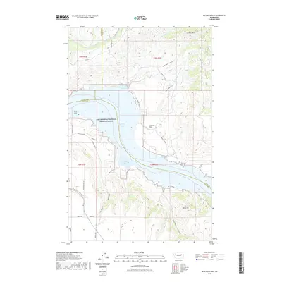 2020 Mica Mountain2020 Print · USGSCovers Okanogan County, including Ferry County, Lincoln County, and other nearby areas
 - 2020 Map of Grand Coulee Dam, 2020 Print
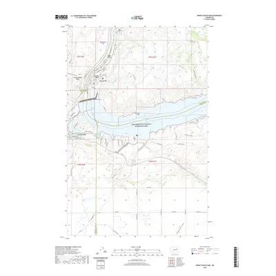 2020 Grand Coulee Dam2020 Print · USGSCovers Okanogan County, including Grand Coulee, Elmer City, and other nearby areas
 - 2020 Map of Chesaw OE N, 2020 Print
 2020 Chesaw OE N2020 Print · USGSCovers Okanogan County, including Area E (Beaverdell/West Boundary), Regional District of Kootenay Boundary, and other nearby areas
 - 2020 Map of Remmel Mountain OE N, 2020 Print
 2020 Remmel Mountain OE N2020 Print · USGSCovers Okanogan County, including Area G (Upper Similkameen/Hedley), Regional District of Okanagan-Similkameen, and other nearby areas
 - 2020 Map of Nighthawk OE N, 2020 Print
 2020 Nighthawk OE N2020 Print · USGSCovers Okanogan County, including Area B (Cawston/Lower Similkameen), Area C (Inkaneep/Willowbrook), and other nearby areas
 - 2020 Map of Ashnola Pass OE N, 2020 Print
 2020 Ashnola Pass OE N2020 Print · USGSCovers Okanogan County, including Area G (Upper Similkameen/Hedley), Regional District of Okanagan-Similkameen, and other nearby areas
 - 2020 Map of Hurley Peak OE N, 2020 Print
 2020 Hurley Peak OE N2020 Print · USGSCovers Okanogan County, including Area B (Cawston/Lower Similkameen), Area G (Upper Similkameen/Hedley), and other nearby areas
 - 2020 Map of Bullfrog Mountain OE N, 2020 Print
 2020 Bullfrog Mountain OE N2020 Print · USGSCovers Okanogan County, including Osoyoos, Area C (Inkaneep/Willowbrook), and other nearby areas
 - 2020 Map of Mount Hull OE N, 2020 Print
 2020 Mount Hull OE N2020 Print · USGSCovers Okanogan County, including Area E (Beaverdell/West Boundary), Area C (Inkaneep/Willowbrook), and other nearby areas
 - 2020 Map of Toroda OE N, 2020 Print
 2020 Toroda OE N2020 Print · USGSCovers Okanogan County, including Area E (Beaverdell/West Boundary), Midway, and other nearby areas
 - 2020 Map of Oroville OE N, 2020 Print
 2020 Oroville OE N2020 Print · USGSCovers Okanogan County, including Osoyoos, Area C (Inkaneep/Willowbrook), and other nearby areas
 - 2020 Map of Tatoosh Buttes OE N, 2020 Print
 2020 Tatoosh Buttes OE N2020 Print · USGSCovers Okanogan County, including Area H (Manning Park/Tulameen/Siwash), Regional District of Okanagan-Similkameen, and other nearby areas
 - 2020 Map of Buckhorn Mountain OE N, 2020 Print
 2020 Buckhorn Mountain OE N2020 Print · USGSCovers Okanogan County, including Area E (Beaverdell/West Boundary), Rock Creek, and other nearby areas
 - 2020 Map of Molson OE N, 2020 Print
 2020 Molson OE N2020 Print · USGSCovers Okanogan County, including Area E (Beaverdell/West Boundary), Regional District of Kootenay Boundary, and other nearby areas
 - 2020 Map of Ashnola Mountain OE N, 2020 Print
 2020 Ashnola Mountain OE N2020 Print · USGSCovers Okanogan County, including Area G (Upper Similkameen/Hedley), Area H (Manning Park/Tulameen/Siwash), and other nearby areas
 - 2020 Map of Frosty Creek OE N, 2020 Print
 2020 Frosty Creek OE N2020 Print · USGSCovers Okanogan County, including Area H (Manning Park/Tulameen/Siwash), Regional District of Okanagan-Similkameen, and other nearby areas
 - 2020 Map of Castle Peak OE N, 2020 Print
 2020 Castle Peak OE N2020 Print · USGSCovers Okanogan County, including Area B (South Fraser Canyon/Sunshine Valley), Manning Park, and other nearby areas
 - 2020 Map of Cooper Ridge, 2020 Print
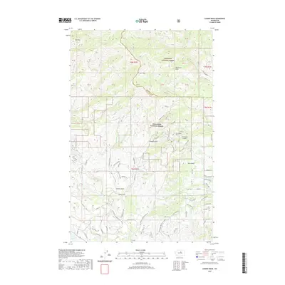 2020 Cooper Ridge2020 Print · USGSCovers Okanogan County, including Chelan County, United States, and other nearby areas
 - 2020 Map of Wells Dam, 2020 Print
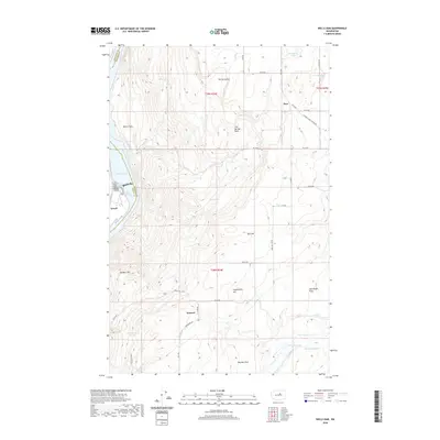 2020 Wells Dam2020 Print · USGSCovers Okanogan County, including Dyer, Howard, and other nearby areas
 - 2020 Map of Coleman Hill, 2020 Print
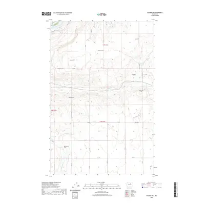 2020 Coleman Hill2020 Print · USGSCovers Okanogan County, including Douglas County, United States, and other nearby areas
 - 2020 Map of Azwell, 2020 Print
 2020 Azwell2020 Print · USGSCovers Okanogan County, including Starr, Azwell, and other nearby areas
 - 2020 Map of Chief Joseph Dam, 2020 Print
 2020 Chief Joseph Dam2020 Print · USGSCovers Okanogan County, including Bridgeport, Douglas County, and other nearby areas
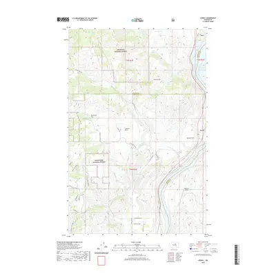
 - 2020 Map of Disautel, 2020 Print
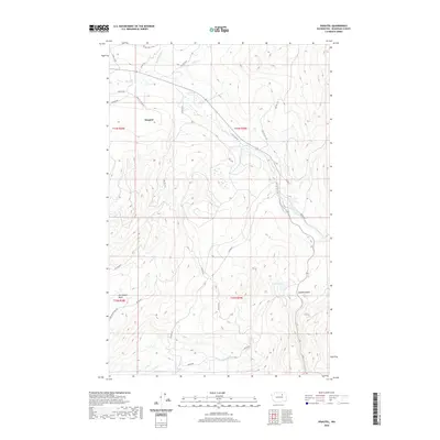 2020 Disautel2020 Print · USGSCovers Okanogan County, including Disautel, United States, and other nearby areas
 - 2020 Map of Brewster, 2020 Print
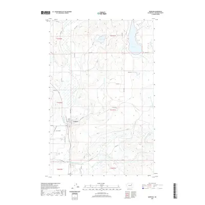
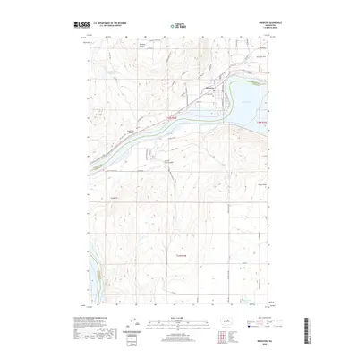 2020 Brewster2020 Print · USGSCovers Okanogan County, including Brewster, Douglas County, and other nearby areas
 - 2020 Map of Nespelem, 2020 Print
 2020 Nespelem2020 Print · USGSCovers Okanogan County, including Nespelem, United States, and other nearby areas
Showing maps 1-25 of 298
Top cities of Okanogan County
- Omak historical maps
- Okanogan historical maps
- Brewster historical maps
- Oroville historical maps
- Tonasket historical maps
- Twisp historical maps
See more
Frequently asked questions
- What are the different types of historical maps available for Okanogan County?
- What is the oldest map of Okanogan County?
- Where can I purchase historical maps of Okanogan County for my home or office?
- Where can I download high-res historical maps of Okanogan County?
- Are there historical topographic maps available for Okanogan County?
- Is there historical aerial imagery available for Okanogan County?
- Where are historical maps of Okanogan County sourced from?