2000s (21st Century) Maps of Okanogan County, Washington
Explore 812 historic maps of Okanogan County from the 2000s (21st Century). These maps offer a rare glimpse into what life looked like during the 2000s — showing old roads, neighborhoods, homes, and landmarks that have changed or disappeared over time.
Whether you're researching your family's past, planning a metal detecting trip, or studying how Okanogan County's landscape evolved across the 2000s, these high-resolution maps are a powerful tool for exploring the history of this region.
- Focus on a specific era: All maps on this page are from the 2000s, giving you a focused view of this time period.
- See what’s changed: Compare century-old streets, trails, and buildings to today's modern landscape using overlays and satellite layers.
- Research with precision: Use these maps for genealogy, historical research, land use analysis, or educational projects.
- View, download, or print: Maps are fully viewable online in high resolution, and can be downloaded or printed for your own records.
Start exploring Okanogan County's history through authentic maps from the 2000s. This is your window into the past.
Okanogan County, WA maps
(812)- 2001 Map of Strawberry Mountain, 2004 Print
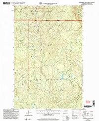 2001 Strawberry Mountain2004 Print · USGSThe Okanogan highlands at the start of the 2000s are captured here where forest and reservation lands meet. Trace the high-country drainage basins of Strawberry Creek and Gold Creek or locate the site of the Strawberry Mountain Lookout.
 - 2001 Map of Hurley Peak, 2004 Print
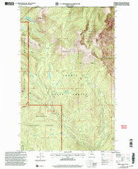 2001 Hurley Peak2004 Print · USGSThe high backcountry of Okanogan County meets the international border in this 2001 revision of the Cascades. Researchers can locate remote high-altitude outposts like Snowshoe Cabin, the old Joe Mills Mine, and the Fourteen Mile Recreation Site.
 - 2001 Map of Buck Mountain, 2004 Print
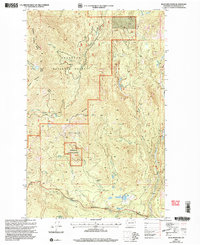 2001 Buck Mountain2004 Print · USGSHigh-country drainages and forest lookouts define this Okanogan landscape during the early 2000s. Genealogists and hikers can trace the paths of the Tonasket Methaw Road and locate remote sites like Mowich Illahee and Buck Lookout.
 - 2001 Map of Coleman Peak, 2004 Print
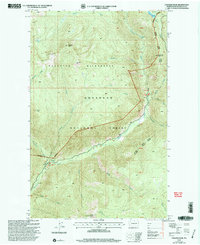 2001 Coleman Peak2004 Print · USGSThe northern Cascades at the turn of the millennium are captured here, showcasing the high-country landscape of the Okanogan National Forest. Trace the valley of the Chewuch River to the Thirtymile outpost and the Twentymile Peak Lookout.
 - 2001 Map of Bodie, 2004 Print
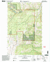 2001 Bodie2004 Print · USGSOkanogan County’s rugged interior is captured here at the start of the millennium, showing the remote settlement and mining landscape. You can trace the high-country drainages and historic resource extraction sites like the Mine Prospect or family-named landmarks like Toroda Mountain and Beth Lake.
 - 2001 Map of Spur Peak, 2004 Print
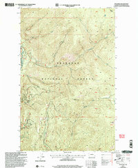 2001 Spur Peak2004 Print · USGSHigh in the Cascades during the early twenty-first century, this survey documents the deep drainages and peaks of the Okanogan National Forest. Trail hikers and researchers can trace the Twentymile Trail as it climbs toward South Twentymile Peak and the Chewuch River.
 - 2001 Map of Cooper Mountain, 2004 Print
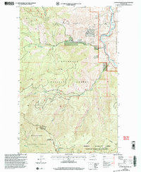 2001 Cooper Mountain2004 Print · USGSThe Methow Valley in north-central Washington is captured here at the turn of the millennium, showing a landscape defined by mountain peaks and river bends. Trace local history through the Methow Cemetery or locate old mining interests at Prospect and Prospects sites.
 - 2001 Map of Coxit Mountain, 2004 Print
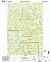 2001 Coxit Mountain2004 Print · USGSHigh-altitude Okanogan County terrain is captured here at the turn of the century within the Loomis State Forest. Researchers can trace remote forest access points, the historic Tiffany Lake Trail, and landmarks like Woodpile Cabin and Coxit Mountain.
 - 2001 Map of Knowlton Knob, 2004 Print
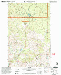 2001 Knowlton Knob2004 Print · USGSOkanogan County at the turn of the twenty-first century reveals a high-elevation landscape of forest management and wildlife preservation. Researchers can locate remote water sources like Secret Lake and historical industrial footprints such as the Gambles Mill (Site).
 - 2001 Map of Burge Mountain, 2004 Print
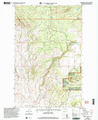 2001 Burge Mountain2004 Print · USGSOkanogan County’s high forest lands are captured here at the turn of the twenty-first century, showing a network of remote peaks and water sources. Researchers can trace land use through features like Lanchers Dam, the Gravel Pit, and various naming landmarks like Haley Mountain or Whisky Cache Creek.
 - 2001 Map of Crawfish Lake, 2004 Print
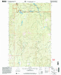 2001 Crawfish Lake2004 Print · USGSHigh mountain terrain and tribal lands meet in the early 2000s as the Okanogan National Forest borders the Colville Indian Reservation. Trace early industrial efforts through labels like the Graphite Tunnel, Prospects Mine Shaft, and Balanced Rock Spring.
 - 2001 Map of Methow, 2004 Print
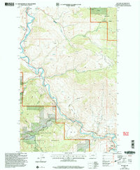 2001 Methow2004 Print · USGSThe Methow River valley at the turn of the twenty-first century reveals a landscape of riverside settlements and forest lands. Genealogists and hikers can trace old routes near Carlton, locate the Prospect Mine, and find the river Footbridge at Methow.
 - 2001 Map of Bailey Creek, 2004 Print
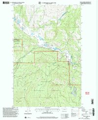 2001 Bailey Creek2004 Print · USGSThe high Okanogan country is shown here in the early 2000s, where traditional land divisions meet the deep forest. Researchers can locate remote markers like the Indian Allotment Boundary, a lonely Grave, and high-altitude waters like Lyman Lake.
 - 2001 Map of Havillah, 2004 Print
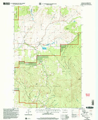 2001 Havillah2004 Print · USGSThe Okanogan highlands at the start of the 21st century reveal a landscape of high-altitude cabins and remote forest trails. Genealogists can locate the Cem near Havillah or trace mountain landmarks like Mount Bonaparte and the Napoli Cabin.
 - 2001 Map of Molson, 2004 Print
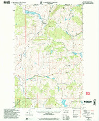 2001 Molson2004 Print · USGSThe Okanogan Highlands at the turn of the millennium reveal a quiet borderland where the historic settlement of Molson sits just south of the international boundary. Genealogists and local historians can trace the foundations of this high-country community through Old Molson, the Molson Cem, and the Hee Hee Stone Historical Monument.
 - 2001 Map of Bauerman Ridge, 2004 Print
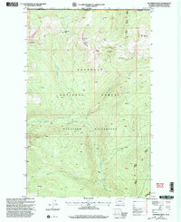 2001 Bauerman Ridge2004 Print · USGSThe Okanogan highlands at the turn of the twenty-first century reveal a remote landscape of high ridges and alpine basins along the Canadian border. Researchers can trace the rugged headwaters of the Chewuch River and find landmarks like Scheelite Lake and the high-altitude Vic Meadow.
 - 2001 Map of Ellisforde, 2004 Print
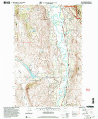 2001 Ellisforde2004 Print · USGSThe Okanogan River valley at the turn of the millennium shows a landscape defined by irrigation and mountain heights. Researchers can locate the Lucky Knock Mine, the community center at Ellisforde, and family-named landmarks like Irvins Pond or Stern Lake.
 - 2001 Map of Cayuse Mountain, 2004 Print
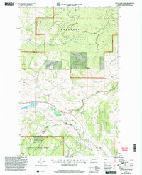 2001 Cayuse Mountain2004 Print · USGSHigh in the Okanogan highlands at the start of the century, this survey shows a landscape of timber management and high-country access. Researchers can trace land divisions via Indian Allotment Boundaries near Bonaparte Creek and the Landing Strip.
 - 2001 Map of Pearrygin Peak, 2004 Print
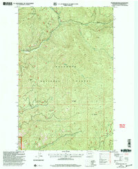 2001 Pearrygin Peak2004 Print · USGSThe Okanogan highlands are captured here at the turn of the millennium, showing a landscape defined by forest management and rugged summits. Researchers can locate remote landmarks like the First Butte Lookout, Pearrygin Peak, and the drainage of Ramsey Creek.
 - 2001 Map of Mount Bonaparte, 2004 Print
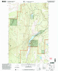 2001 Mount Bonaparte2004 Print · USGSOkanogan's high-country terrain is captured here at the turn of the century, centered on the lookout and youth camps of the national forest. Researchers can trace historic access routes like the Antoine Trail or locate the sites of Camp Ortoha and Bonaparte Lake.
 - 2001 Map of Loup Loup Summit, 2004 Print
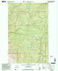 2001 Loup Loup Summit2004 Print · USGSHigh in the Cascades at the start of the new millennium, this survey details the divide between the Methow and Tonasket districts. Trace the mountain geography of the Loup Loup Recreation Area, the Sky Lift, and trails like the Beaver Lake Tr.
 - 2001 Map of Synarep, 2004 Print
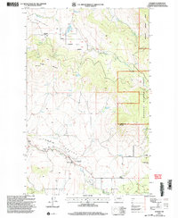 2001 Synarep2004 Print · USGSOkanogan County’s high country is captured here at the start of the millennium, showing a landscape defined by forest boundaries and remote valley settlements. Researchers can locate the Tunk Valley Cemetery, the old Chewiliken School, and the Synarep townsite.
 - 2001 Map of Horseshoe Basin, 2004 Print
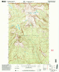 2001 Horseshoe Basin2004 Print · USGSThe high Cascades of the Washington-Canada border are frozen in time just after the turn of the millennium. Explore a landscape of alpine crossings and pack trails, from the high Horseshoe Basin to historical landmarks like Iron Gate and Hodges Horse Pasture.
 - 2001 Map of Mount Hull, 2004 Print
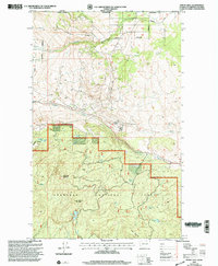 2001 Mount Hull2004 Print · USGSThe high Okanogan highlands sit along the international border in the first year of the new millennium. Traces of past land divisions and mountain water sources are visible near Circle (Site), Mount Hull, and Fertilizer Lake.
 - 2001 Map of Thrapp Mtn, 2004 Print
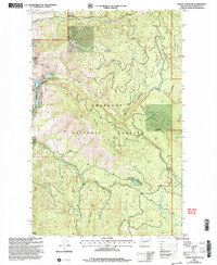 2001 Thrapp Mtn2004 Print · USGSThe Okanogan highlands are shown at the turn of the millennium, documenting a landscape defined by timber, mining, and watershed conservation. Researchers can trace historical extraction at the Red Shirt Mine or explore the rugged topography of Jay Ridge and Thrapp Mountain.
Showing maps 1-25 of 812
Top cities of Okanogan County
- Omak historical maps
- Okanogan historical maps
- Brewster historical maps
- Oroville historical maps
- Tonasket historical maps
- Twisp historical maps
See more
Frequently asked questions
- What are the different types of historical maps available for Okanogan County?
- What is the oldest map of Okanogan County?
- Where can I purchase historical maps of Okanogan County for my home or office?
- Where can I download high-res historical maps of Okanogan County?
- Are there historical topographic maps available for Okanogan County?
- Is there historical aerial imagery available for Okanogan County?
- Where are historical maps of Okanogan County sourced from?