2000s (21st Century) Maps of Spokane County, Washington
Explore 230 historic maps of Spokane County from the 2000s (21st Century). These maps offer a rare glimpse into what life looked like during the 2000s — showing old roads, neighborhoods, homes, and landmarks that have changed or disappeared over time.
Whether you're researching your family's past, planning a metal detecting trip, or studying how Spokane County's landscape evolved across the 2000s, these high-resolution maps are a powerful tool for exploring the history of this region.
- Focus on a specific era: All maps on this page are from the 2000s, giving you a focused view of this time period.
- See what’s changed: Compare century-old streets, trails, and buildings to today's modern landscape using overlays and satellite layers.
- Research with precision: Use these maps for genealogy, historical research, land use analysis, or educational projects.
- View, download, or print: Maps are fully viewable online in high resolution, and can be downloaded or printed for your own records.
Start exploring Spokane County's history through authentic maps from the 2000s. This is your window into the past.
Spokane County, WA maps
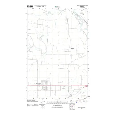
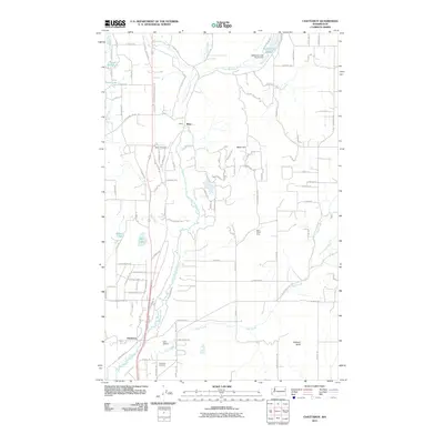
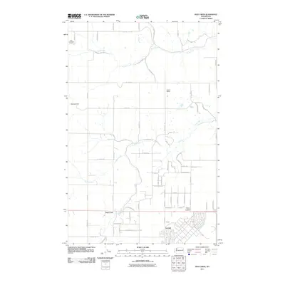
(230)- 2011 Map of Spangle East, 2011 Print
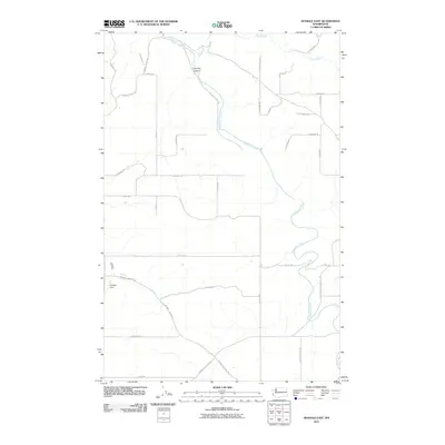 2011 Spangle East2011 Print · USGSCovers Spokane County, including Spangle, United States, and other nearby areas
 - 2011 Map of Plaza, 2011 Print
 2011 Plaza2011 Print · USGSCovers Spokane County, including Plaza, Whitman County, and other nearby areas
 - 2011 Map of Foothills, 2011 Print
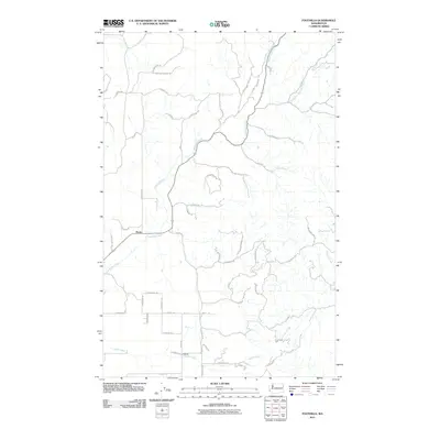 2011 Foothills2011 Print · USGSCovers Spokane County, including Peone, United States, and other nearby areas
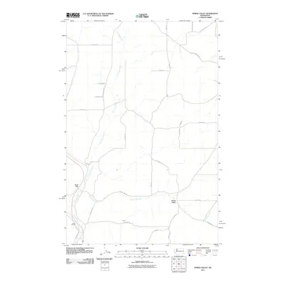
 - 2011 Map of Chapman Lake, 2011 Print
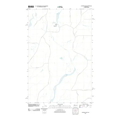 2011 Chapman Lake2011 Print · USGSCovers Spokane County, including Whitman County, United States, and other nearby areas
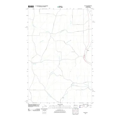
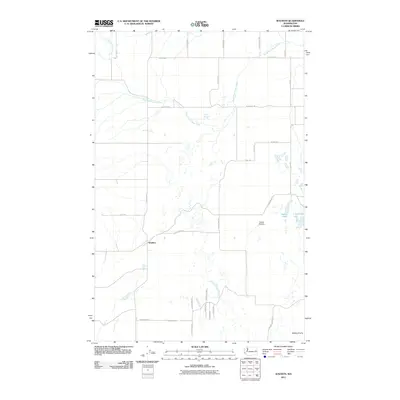
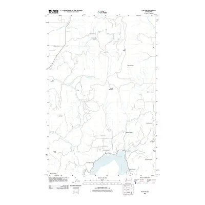
 - 2011 Map of Mead, 2011 Print
 2011 Mead2011 Print · USGSCovers Spokane County, including Colbert, Mead, and other nearby areas
 - 2011 Map of Tekoa Mountain, 2011 Print
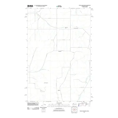 2011 Tekoa Mountain2011 Print · USGSCovers Spokane County, including Kootenai County, Whitman County, and other nearby areas
 - 2011 Map of Waukon, 2011 Print
 2011 Waukon2011 Print · USGSCovers Spokane County, including Waukon, Lincoln County, and other nearby areas
 - 2011 Map of Four Mound Prairie, 2011 Print
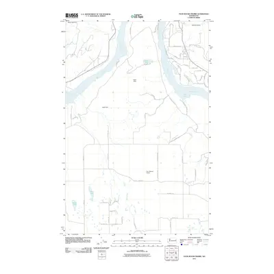 2011 Four Mound Prairie2011 Print · USGSCovers Spokane County, including Stevens County, United States, and other nearby areas
 - 2011 Map of Airway Heights, 2011 Print
 2011 Airway Heights2011 Print · USGSCovers Spokane County, including Spokane, Airway Heights, and other nearby areas
 - 2011 Map of Fairfield, 2011 Print
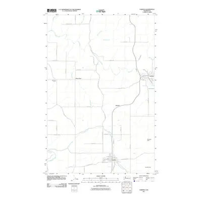 2011 Fairfield2011 Print · USGSCovers Spokane County, including Fairfield, Rockford, and other nearby areas
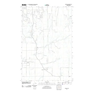
 - 2011 Map of Deer Park, 2011 Print
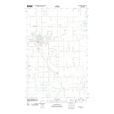 2011 Deer Park2011 Print · USGSCovers Spokane County, including Deer Park, Denison, and other nearby areas
 - 2011 Map of Spangle West, 2011 Print
 2011 Spangle West2011 Print · USGSCovers Spokane County, including Spangle, United States, and other nearby areas
 - 2011 Map of Chattaroy, 2011 Print
 2011 Chattaroy2011 Print · USGSCovers Spokane County, including Milan, Chattaroy, and other nearby areas
 - 2011 Map of Greenacres, 2011 Print
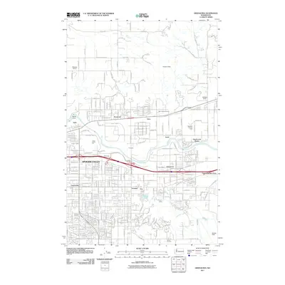 2011 Greenacres2011 Print · USGSCovers Spokane County, including Spokane Valley, Liberty Lake, and other nearby areas
 - 2011 Map of Setters, 2011 Print
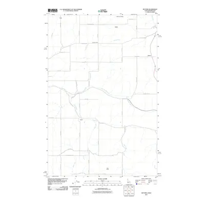 2011 Setters2011 Print · USGSCovers Spokane County, including Rockford, Kootenai County, and other nearby areas
 - 2011 Map of Tyler, 2011 Print
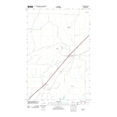 2011 Tyler2011 Print · USGSCovers Spokane County, including Tyler, Lincoln County, and other nearby areas
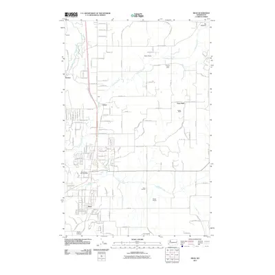
 - 2011 Map of Mica Peak, 2011 Print
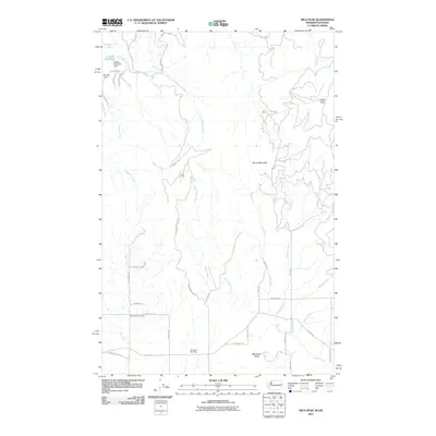 2011 Mica Peak2011 Print · USGSCovers Spokane County, including Kootenai County, United States, and other nearby areas
 - 2011 Map of Tumtum, 2011 Print
 2011 Tumtum2011 Print · USGSCovers Spokane County, including Tumtum, Stevens County, and other nearby areas
 - 2011 Map of Freeman, 2011 Print
 2011 Freeman2011 Print · USGSCovers Spokane County, including Spokane Valley, Manito, and other nearby areas
 - 2011 Map of Spring Valley, 2011 Print
 2011 Spring Valley2011 Print · USGSCovers Spokane County, including Whitman County, United States, and other nearby areas
 - 2011 Map of Deep Creek, 2011 Print
 2011 Deep Creek2011 Print · USGSCovers Spokane County, including Spokane Hutterite Colony, Deep Creek, and other nearby areas
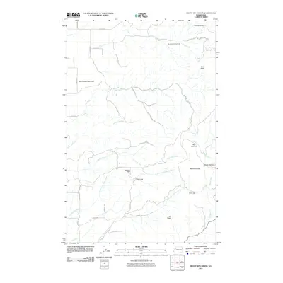
 - 2011 Map of Mount Kit Carson, 2011 Print
 2011 Mount Kit Carson2011 Print · USGSCovers Spokane County, including United States, Washington, and other nearby areas
 - 2011 Map of Latah, 2011 Print
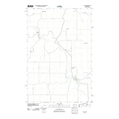 2011 Latah2011 Print · USGSCovers Spokane County, including Latah, Waverly, and other nearby areas
 - 2011 Map of Liberty Lake, 2011 Print
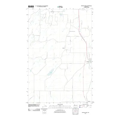
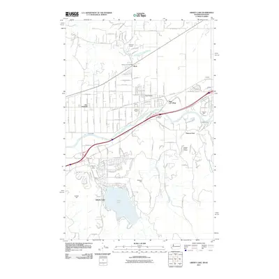 2011 Liberty Lake2011 Print · USGSCovers Spokane County, including Post Falls, Liberty Lake, and other nearby areas
 - 2011 Map of Reardan East, 2011 Print
 2011 Reardan East2011 Print · USGSCovers Spokane County, including Reardan, Lincoln County, and other nearby areas
Showing maps 1-25 of 230
Top cities of Spokane County
- Spokane historical maps
- Spokane Valley historical maps
- Cheney historical maps
- Liberty Lake historical maps
- Airway Heights historical maps
- Colbert historical maps
See more
Frequently asked questions
- What are the different types of historical maps available for Spokane County?
- What is the oldest map of Spokane County?
- Where can I purchase historical maps of Spokane County for my home or office?
- Where can I download high-res historical maps of Spokane County?
- Are there historical topographic maps available for Spokane County?
- Is there historical aerial imagery available for Spokane County?
- Where are historical maps of Spokane County sourced from?