2010s Maps of Spokane County, Washington
Explore 138 historic maps of Spokane County from the 2010s. These maps offer a rare glimpse into what life looked like during the 2010s — showing old roads, neighborhoods, homes, and landmarks that have changed or disappeared over time.
Whether you're researching your family's past, planning a metal detecting trip, or studying how Spokane County's landscape evolved across the 2010s, these high-resolution maps are a powerful tool for exploring the history of this region.
- Focus on a specific era: All maps on this page are from the 2010s, giving you a focused view of this time period.
- See what’s changed: Compare century-old streets, trails, and buildings to today's modern landscape using overlays and satellite layers.
- Research with precision: Use these maps for genealogy, historical research, land use analysis, or educational projects.
- View, download, or print: Maps are fully viewable online in high resolution, and can be downloaded or printed for your own records.
Start exploring Spokane County's history through authentic maps from the 2010s. This is your window into the past.
Spokane County, WA maps
(138)- 2011 Map of Spangle East, 2011 Print
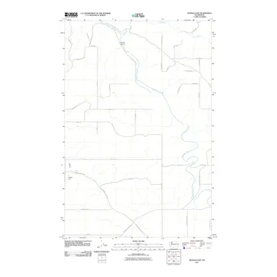 2011 Spangle East2011 Print · USGSEastern Washington's agricultural plateau is captured here in the early twenty-first century, showing the rural road network south of Spokane. Researchers can trace land use and family-named routes such as S Forsland Rd, Courtney Canyon, and the banks of Hangman Creek.
 - 2011 Map of Plaza, 2011 Print
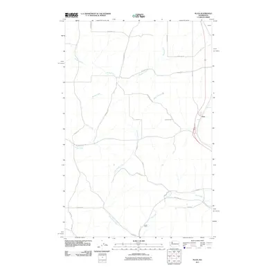 2011 Plaza2011 Print · USGSSpokane County's agricultural heartland is captured here in the early twenty-first century, showing the rural crossroads of Plaza and Freedom. Researchers can trace the path of the John Wayne Trl as it winds past Pine Creek and the deep cut of Awtskin Canyon.
 - 2011 Map of Foothills, 2011 Print
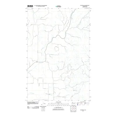 2011 Foothills2011 Print · USGSPeone and the surrounding northeast Spokane County highlands are shown in detail just after the turn of the millennium. Local historians can trace the rural road network and drainage patterns around Peone, Foothills, and the many branches of Deadman Creek.
 - 2011 Map of Chapman Lake, 2011 Print
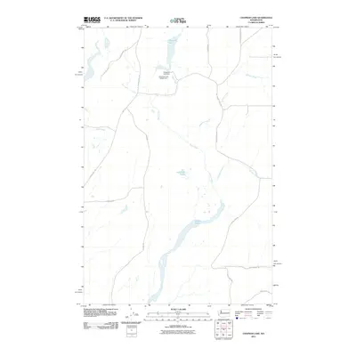 2011 Chapman Lake2011 Print · USGSSpokane County's water-managed landscape is detailed here in the early twenty-first century, featuring a complex drainage network. Researchers can trace the courses of Rock Creek and Bonnie Lake or locate infrastructure like Chapman Lake Dam.
 - 2011 Map of Mead, 2011 Print
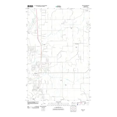 2011 Mead2011 Print · USGSSpokane County's northern prairies and agricultural communities are captured here in the early twenty-first century. Genealogists and local historians can locate the Peone Cemetery, the historic Indian Treaty Tree, and the rural settlements of Colbert and Mead.
 - 2011 Map of Tekoa Mountain, 2011 Print
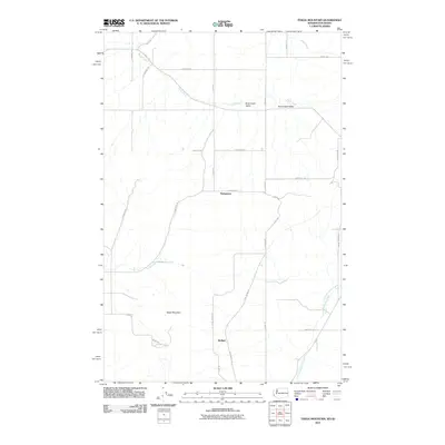 2011 Tekoa Mountain2011 Print · USGSThe Washington-Idaho borderlands are captured here in the early twenty-first century, showing the rural character of the Palouse region. Local historians can trace the path of the John Wayne Trl or locate the settlements of Stringtown and Wallner.
 - 2011 Map of Waukon, 2011 Print
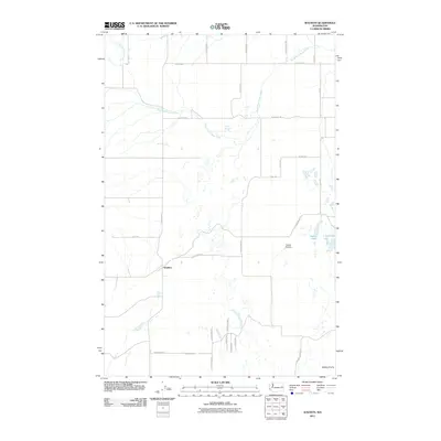 2011 Waukon2011 Print · USGSWaukon and the surrounding Lincoln County plains are documented here in the early twenty-first century. Genealogists and local historians can trace family land ties across Tucker Prairie and Malloy Prairie or locate landmarks like Willon Springs and Lonelyville Lake.
 - 2011 Map of Four Mound Prairie, 2011 Print
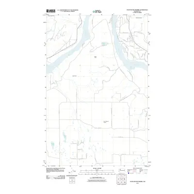 2011 Four Mound Prairie2011 Print · USGSSpokane County's high prairie and river breaks are documented here in the early twenty-first century. Researchers can trace the rural road network and identify family-named landmarks like Knight Lake, Davis Lake, and the prominent Eagle Rock along the Spokane River.
 - 2011 Map of Airway Heights, 2011 Print
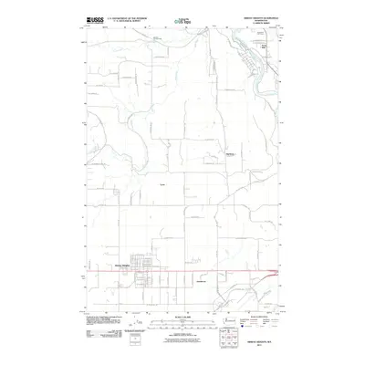 2011 Airway Heights2011 Print · USGSThe growing city of Airway Heights and the surrounding rural plains are captured here in the early 2000s. Genealogists and local historians can locate Stevens Township Hall, the residential clusters of Highland and Lyons, and the scenic boundaries of Riverside State Park.
 - 2011 Map of Fairfield, 2011 Print
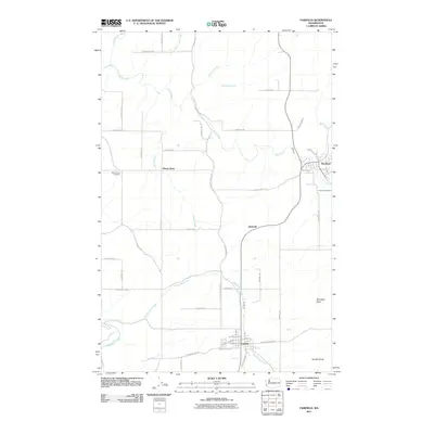 2011 Fairfield2011 Print · USGSSpokane County's agricultural heartland is documented here in the early twenty-first century, showing the established communities and rural townships. Researchers can locate family landmarks such as Mount Hope Cemetery or trace the paths of Hangman Creek and Morefield Butte.
 - 2011 Map of Deer Park, 2011 Print
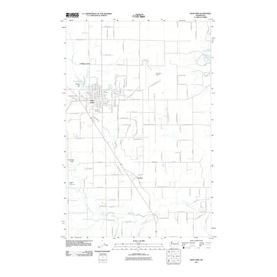 2011 Deer Park2011 Print · USGSSpokane County at the turn of the decade reveals a growing community centered on the street grid of Deer Park. Researchers can trace local lineages through Woodland Cemetery and Kelly Cemetery or explore regional landmarks like the Tri-County Fairgrounds and Deer Park Airport.
 - 2011 Map of Spangle West, 2011 Print
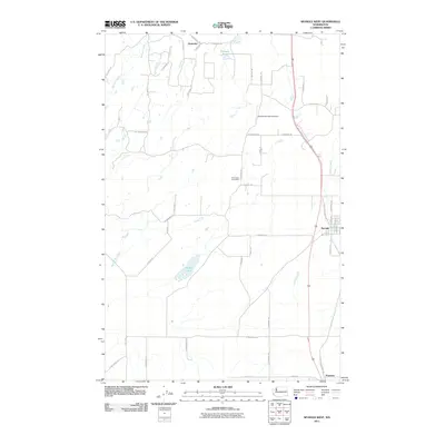 2011 Spangle West2011 Print · USGSSpokane County's rural agricultural landscape is documented here in the early twenty-first century. Researchers can trace the layout of Spangle, locate the Pine Grove Post Office, or identify family land near Philleo Lake and Hansens Pond.
 - 2011 Map of Chattaroy, 2011 Print
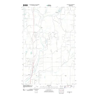 2011 Chattaroy2011 Print · USGSNear the northern border of Spokane County in 2011, this area shows the historic settlements and drainage of the Little Spokane River. Researchers can locate specific family plots at the Milan Cemetery or trace property lines near Orchard Bluff and Milan Hill.
 - 2011 Map of Greenacres, 2011 Print
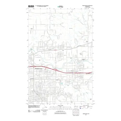 2011 Greenacres2011 Print · USGSSpokane Valley at the start of the 2010s shows a landscape of dense residential grids and heavy industry. Researchers can trace the massive Kaiser Works complex, find local family history at Saint Josephs Cemetery, and locate the Inland Empire Zoo.
 - 2011 Map of Setters, 2011 Print
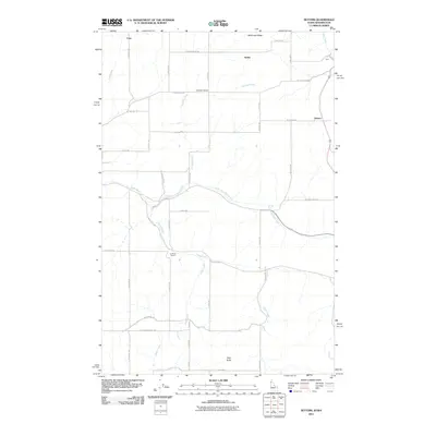 2011 Setters2011 Print · USGSThe Washington-Idaho borderlands are captured here in the early twenty-first century as a landscape of grid-aligned farms and winding creek beds. Researchers can locate community centers like La Shaw School and McIntosh Grange or trace the paths of Murphy Creek and Rose Creek.
 - 2011 Map of Tyler, 2011 Print
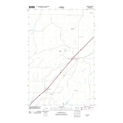 2011 Tyler2011 Print · USGSSpokane County's high plateau at the start of the 2010s reveals a mix of modern infrastructure and traditional ranching landscape. Trace the local geography through Rockdale Cemetery, the settlement of Tyler, and the water systems of Hog Lake and Ames Lake.
 - 2011 Map of Mica Peak, 2011 Print
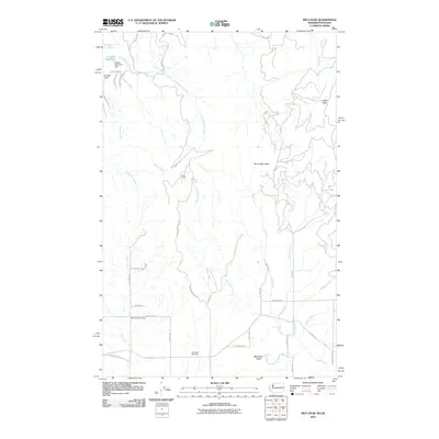 2011 Mica Peak2011 Print · USGSSpokane County's high ridges and watersheds are captured here in the early twenty-first century, showing a landscape defined by its summits and cemeteries. Researchers can locate burial sites at Mica Peak Cemetery or trace the drainages of Quinnamose Creek and Saltese Creek.
 - 2011 Map of Tumtum, 2011 Print
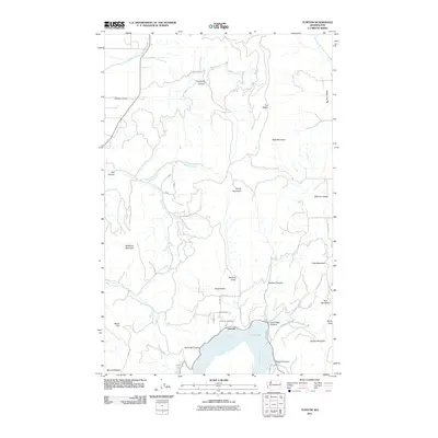 2011 Tumtum2011 Print · USGSTumtum and the Spokane River are captured here in the early twenty-first century as the river widens into Long Lake. Genealogists and local historians can locate Tumtum Cemetery, trace old routes through Walkers Prairie, and identify family landmarks like Becks Hill.
 - 2011 Map of Freeman, 2011 Print
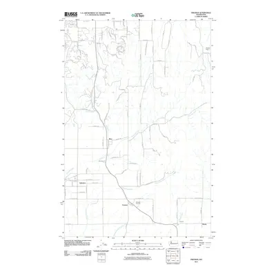 2011 Freeman2011 Print · USGSSpokane County's rural landscape at the start of the 2010s reveals a network of established settlements and expanding residential lanes. Genealogists and local historians can pinpoint Mica Cemetery, the quiet community of Valleyford, and the crossroads at Freeman.
 - 2011 Map of Spring Valley, 2011 Print
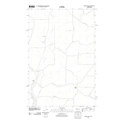 2011 Spring Valley2011 Print · USGSSpokane County's rural agricultural heartland is documented here in the early twenty-first century. Researchers can trace the legacy of local families through Rosalia Cemetery and the settlements at North Pine and Spring Valley.
 - 2011 Map of Deep Creek, 2011 Print
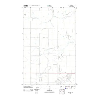 2011 Deep Creek2011 Print · USGSSpokane County's agricultural heartland and historical battlegrounds are captured here during the early twenty-first century. Researchers can locate the Spokane Plains Battlefield, the West Greenwood Cemetery, and small settlements like Galena and Fairchild.
 - 2011 Map of Mount Kit Carson, 2011 Print
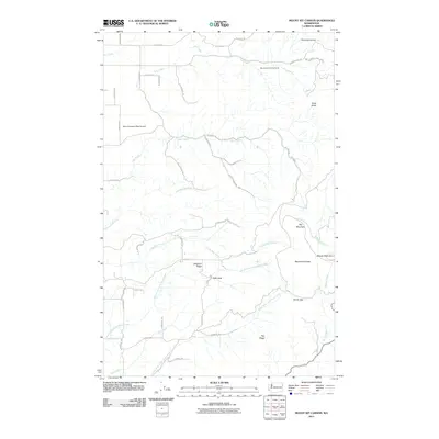 2011 Mount Kit Carson2011 Print · USGSSpokane County's high country is documented here in the early twenty-first century as recreation and rural living meet the Selkirk foothills. Researchers can map out the rugged terrain around Mount Kit Carson, find the Mount Spokane West Airpark, and trace the paths of Little Deer Creek and Burping Brook.
 - 2011 Map of Latah, 2011 Print
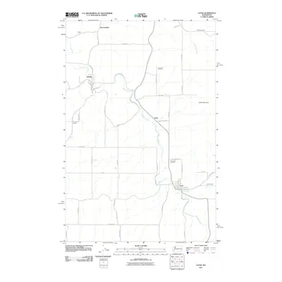 2011 Latah2011 Print · USGSSpokane County's agricultural heartland is documented here in the early twenty-first century, showing the enduring layouts of rural towns and stream valleys. Researchers can trace historical footprints through Latah, Waverly, and Fairfield Cemetery.
 - 2011 Map of Liberty Lake, 2011 Print
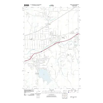 2011 Liberty Lake2011 Print · USGSThe Washington and Idaho border region comes into focus during the early 21st century as suburban growth meets the river valley. Genealogists and historians can trace local landmarks like Moab, Spokane Bridge, and the Newman Lake Post Office across this corridor.
 - 2011 Map of Reardan East, 2011 Print
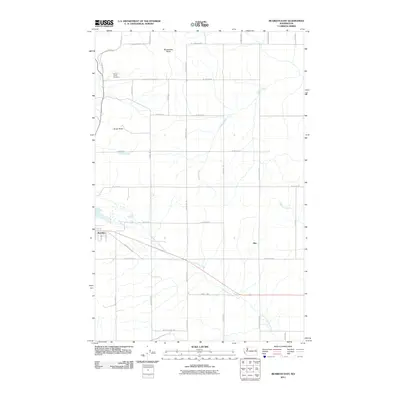 2011 Reardan East2011 Print · USGSEastern Lincoln County comes into focus in the early 2010s, showing the agricultural corridor between Spokane and the Big Bend. Genealogists and local historians can trace family roots at Spring Creek Cemetery or locate the rural settlement of Hite.
Showing maps 1-25 of 138
Top cities of Spokane County
- Spokane historical maps
- Spokane Valley historical maps
- Cheney historical maps
- Liberty Lake historical maps
- Airway Heights historical maps
- Colbert historical maps
See more
Frequently asked questions
- What are the different types of historical maps available for Spokane County?
- What is the oldest map of Spokane County?
- Where can I purchase historical maps of Spokane County for my home or office?
- Where can I download high-res historical maps of Spokane County?
- Are there historical topographic maps available for Spokane County?
- Is there historical aerial imagery available for Spokane County?
- Where are historical maps of Spokane County sourced from?