2020s Maps of Spokane County, Washington
Explore 92 historic maps of Spokane County from the 2020s. These maps offer a rare glimpse into what life looked like during the 2020s — showing old roads, neighborhoods, homes, and landmarks that have changed or disappeared over time.
Whether you're researching your family's past, planning a metal detecting trip, or studying how Spokane County's landscape evolved across the 2020s, these high-resolution maps are a powerful tool for exploring the history of this region.
- Focus on a specific era: All maps on this page are from the 2020s, giving you a focused view of this time period.
- See what’s changed: Compare century-old streets, trails, and buildings to today's modern landscape using overlays and satellite layers.
- Research with precision: Use these maps for genealogy, historical research, land use analysis, or educational projects.
- View, download, or print: Maps are fully viewable online in high resolution, and can be downloaded or printed for your own records.
Start exploring Spokane County's history through authentic maps from the 2020s. This is your window into the past.
Spokane County, WA maps
(92)- 2020 Map of Lance Hills, 2020 Print
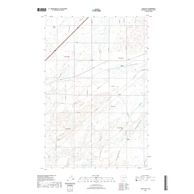 2020 Lance Hills2020 Print · USGSSpokane County's high prairie and basalt coulees are surveyed here in 2020. Researchers can trace the path of the Columbia Plateau State Park Trail through old rail points like Mock and locate the Lance Hill Cem.
 - 2020 Map of Four Lakes, 2020 Print
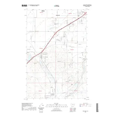 2020 Four Lakes2020 Print · USGSThe channeled scabland topography southwest of Spokane is documented here in the early twenty-first century. Researchers can trace the layout of Cheney, locate family burials at Green Mound Cem, and find local aviation history at Reed Airport.
 - 2020 Map of Medical Lake, 2020 Print
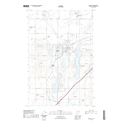 2020 Medical Lake2020 Print · USGSSpokane County's lake-dotted plateau is captured here in the contemporary era, centered on the historic waters of Medical Lake. Genealogists and historians can locate the Washington State Veterans Cem, Lakeland Village, and the sprawling grounds of Fairchild AFB.
 - 2020 Map of Spangle West, 2020 Print
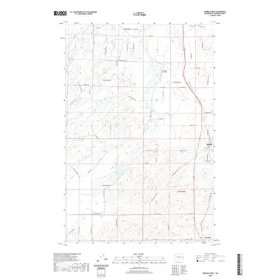 2020 Spangle West2020 Print · USGSSpokane County's transition from coulee to plateau is captured here during the early twenty-first century. Researchers can trace the area around Spangle and its nearby Spangle Cem, or locate rural settlements like Dynamite and Paradise Air Ranch.
 - 2020 Map of Greenacres, 2020 Print
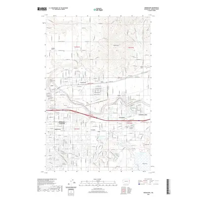 2020 Greenacres2020 Print · USGSSpokane Valley and its industrial suburbs are captured in this recent survey during a period of continued growth. Researchers can trace the rail-and-river geography of the area, locating landmarks like the Kaiser Works, Saint Josephs Cem, and Saltese Flats.
 - 2020 Map of Plaza, 2020 Print
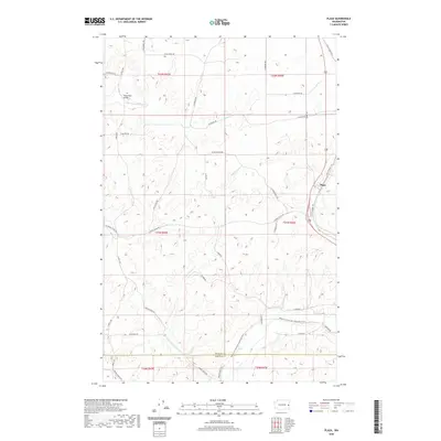 2020 Plaza2020 Print · USGSNear the Spokane and Whitman county line, this modern survey shows the community of Plaza and the surrounding agricultural landscape. Researchers can trace historic family-named roads like S Patterson Rd or follow the Palouse To Cascades State Park Trail.
 - 2020 Map of Spokane SE, 2020 Print
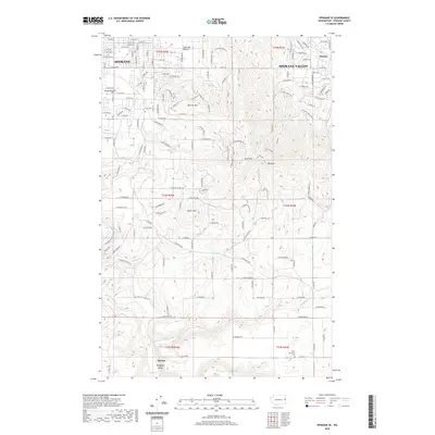 2020 Spokane SE2020 Print · USGSSoutheast Spokane and the neighboring Spokane Valley appear here in a period of significant suburban growth and topographic complexity. Genealogists and local historians can trace family locations near Moran Prairie, find the Wood Memorial Cemetery, or follow the winding path of Hangman Creek.
 - 2020 Map of Dartford, 2020 Print
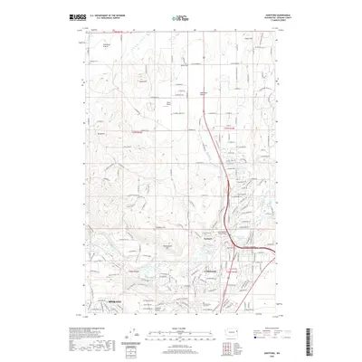 2020 Dartford2020 Print · USGSSpokane and its northern reaches are shown here in 2020, where suburban growth meets the distinct basalt geography of the Inland Northwest. Researchers can trace the development of Fairwood near Whitworth University or locate family plots at Wayside Cem and Wild Rose Cem.
 - 2020 Map of Deer Park, 2020 Print
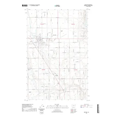 2020 Deer Park2020 Print · USGSSpokane County's northern plains are shown in detail during this modern era of settlement and flight. Genealogists and local historians can locate Kelly Cem, trace the drainage of Dragoon Cr, and explore the community centers of Deer Park and Denison.
 - 2020 Map of Spring Valley, 2020 Print
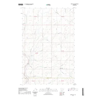 2020 Spring Valley2020 Print · USGSSpokane County's southern agricultural plateaus are documented here in the 2020s, showing the rural communities of Spring Valley and North Pine. Researchers can trace the Palouse To Cascades State Park Trail and find the Rosalia Cem near the Whitman County line.
 - 2020 Map of Mead, 2020 Print
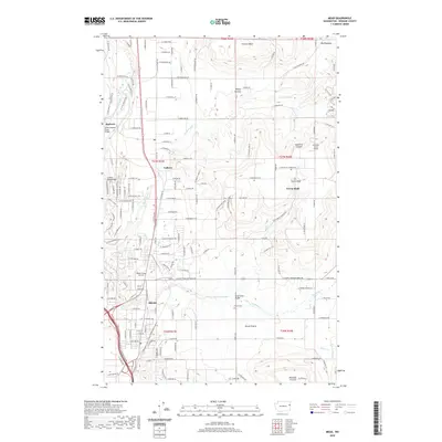 2020 Mead2020 Print · USGSMead and the surrounding prairies of Spokane County are captured here in the early twenty-first century as suburban expansion meets rural history. Researchers can locate Peone Cem, the Mead Flying Service, and the residential clusters at Colbert and Green Bluff.
 - 2020 Map of Fairfield, 2020 Print
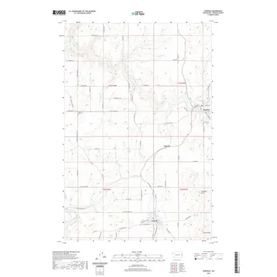 2020 Fairfield2020 Print · USGSSoutheastern Spokane County is documented here in the early twenty-first century, showing the enduring agricultural layout of the Palouse. Researchers can trace family sites near Fairfield, Rockford, and the Mount Hope Cem or follow the paths of Rock Cr and Hangman Creek.
 - 2020 Map of Spokane SW, 2020 Print
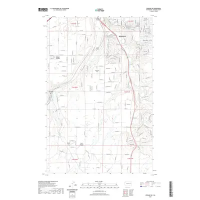 2020 Spokane SW2020 Print · USGSThe southwestern edge of Spokane and the village of Marshall appear in this recent survey during a period of modern development. Researchers can trace the path of the BNSF Railway or locate local landmarks like Rosa Butte and Geiger Heights.
 - 2020 Map of Four Mound Prairie, 2020 Print
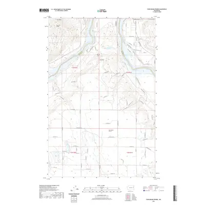 2020 Four Mound Prairie2020 Print · USGSSpokane and Stevens counties meet along the waters of Long Lake in this modern survey of the Washington interior. Genealogists and researchers can trace local developments near Four Mound Prairie, Tightcliff Airport, and the canyons surrounding Mt Godfrey.
 - 2020 Map of Mica Peak, 2020 Print
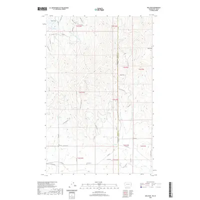 2020 Mica Peak2020 Print · USGSThe Washington and Idaho border country comes alive in this modern survey of the peaks and valleys east of Spokane. Family historians can pinpoint Mica Creek Cem and Mica Peak Cem or trace the rural roads around Saltese Flats.
 - 2020 Map of Reardan East, 2020 Print
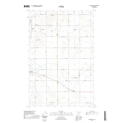 2020 Reardan East2020 Print · USGSEastern Washington wheat country is captured here as it appeared recently, straddling the border of Lincoln and Spokane Counties. Researchers can trace the rural infrastructure around Reardan, the historic railroad siding at Hite, and family heritage sites like Spring Creek Cem.
 - 2020 Map of Clayton, 2020 Print
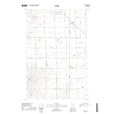 2020 Clayton2020 Print · USGSThe Stevens and Spokane county line divides this rural Washington landscape during a period of modern agricultural and residential use. Genealogists and local historians can locate the Williams Valley Hillside Cemetery and trace the terrain from Big Foot Valley to the heights of Dunns Mtn.
 - 2020 Map of Tekoa Mountain, 2020 Print
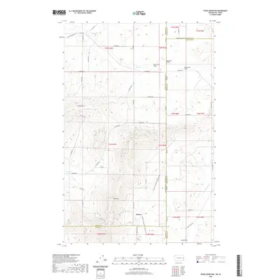 2020 Tekoa Mountain2020 Print · USGSSpokane County and the Idaho borderlands are documented here in 2020, showing a landscape of high ridges and agricultural valleys. Researchers can trace the path of the Palouse to Cascades State Park Trail near Wallner or locate the summit of Tekoa Mtn.
 - 2020 Map of Foothills, 2020 Print
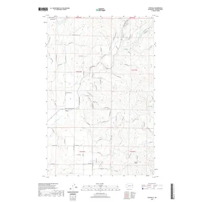 2020 Foothills2020 Print · USGSSpokane County's rising northern terrain is documented here in the modern era, showing the rural communities of Peone and Foothills. Researchers can trace the drainage patterns of Deadman Cr and the residential growth along N Mt Carlton Rd.
 - 2020 Map of Spangle East, 2020 Print
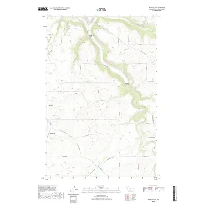 2020 Spangle East2020 Print · USGSEastern Spokane County at the start of the 2020s shows a landscape defined by its deep creek valleys and rural crossroads. Researchers can trace the drainage of Hangman Creek through Hangman Valley or locate local landmarks like Spangle Field and Courtney Canyon.
 - 2020 Map of Tumtum, 2020 Print
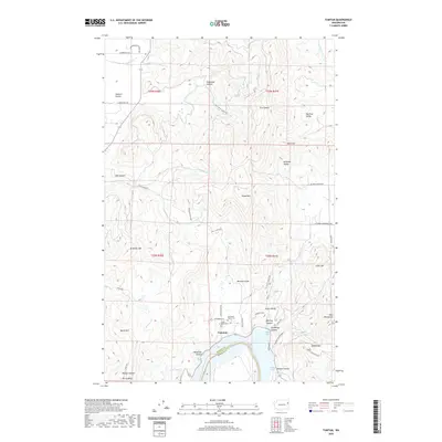 2020 Tumtum2020 Print · USGSThe Stevens County high country comes alive in this 2020 study of the Spokane River's passage through Long Lake. Researchers can locate family landmarks from the Old Scotts Valley Cem to the early settlement at Walkers Prairie.
 - 2020 Map of Spokane NW, 2020 Print
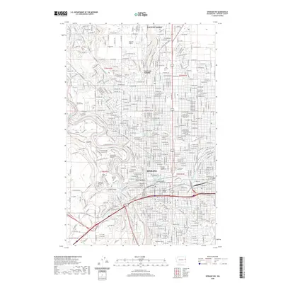 2020 Spokane NW2020 Print · USGSSpokane is shown in its contemporary urban layout, where the Spokane River shapes the geography of the city center and its western bluffs. Genealogists can trace family history through numerous grounds like Holy Cross Cem or locate institutional landmarks such as Gonzaga University.
 - 2020 Map of Mount Spokane, 2020 Print
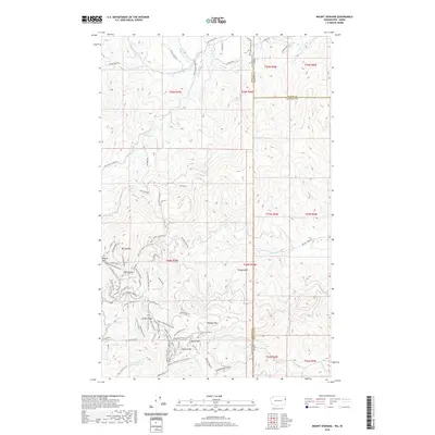 2020 Mount Spokane2020 Print · USGSThe high peaks of the Washington-Idaho border are captured here in the recent era, centered on the recreation and forest lands of Mt Spokane. Outdoor historians and researchers can trace the detailed network of the state park, including the Ranger Residence, Bald Knob, and numerous named trails and ski runs.
 - 2020 Map of Freeman, 2020 Print
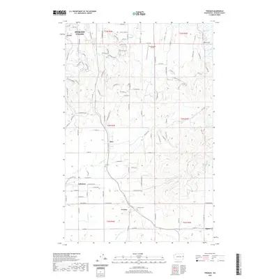 2020 Freeman2020 Print · USGSSpokane County's transition from residential outskirts to rural farming communities is documented here in the early twenty-first century. Researchers can trace the layout of small towns like Valleyford and Mica, or find local landmarks such as Mica Cem and Sky Meadows Airpark.
 - 2020 Map of Fishtrap Lake, 2020 Print
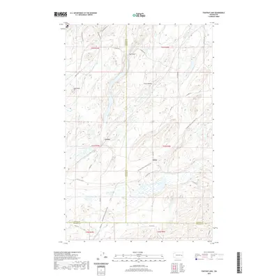 2020 Fishtrap Lake2020 Print · USGSSpokane County and its neighbors meet at the southern end of the Channeled Scablands in this contemporary survey. Researchers can trace the path of the old Spokane, Portland and Seattle Railway grade, now the Columbia Plateau State Park Trail, as it passes Downs Lake and the former sites of Rodna and Croskey.
Showing maps 1-25 of 92
Top cities of Spokane County
- Spokane historical maps
- Spokane Valley historical maps
- Cheney historical maps
- Liberty Lake historical maps
- Airway Heights historical maps
- Colbert historical maps
See more
Frequently asked questions
- What are the different types of historical maps available for Spokane County?
- What is the oldest map of Spokane County?
- Where can I purchase historical maps of Spokane County for my home or office?
- Where can I download high-res historical maps of Spokane County?
- Are there historical topographic maps available for Spokane County?
- Is there historical aerial imagery available for Spokane County?
- Where are historical maps of Spokane County sourced from?