Old Maps of Crandon, Wisconsin for Hiking & Exploration
Hike through history with 33 historic maps of Crandon. Explore old trails, ghost towns, and forgotten backroads — perfect for outdoor adventurers and local explorers.
- Rediscover forgotten places: Map out old mining camps, roads, and footpaths that no longer exist on modern maps.
- Layer with modern tools: Combine with LiDAR or satellite views to plan hikes through historical terrain.
- Made for exploration: Popular among hikers, overlanders, and local history lovers.
Use these maps to find adventure and explore the hidden past of Crandon.
Crandon, WI maps
(33)- 1939 Map of Crandon, 1955 Print
 1939 Crandon1955 Print · USGSForest County during the late 1930s was a critical junction of logging railroads and lakeside settlements. Genealogists and historians can trace rural school districts like Siding No 1 Sch and early infrastructure around Wisconsin Junction and Hiles Mill Pond.2 unique versions available
 - 1940 Map of Monico, 1955 Print
 1940 Monico1955 Print · USGSThe Northwoods of Oneida and Forest counties are captured here just before the mid-century, defined by the crossing of major rail lines and a maze of glacial lakes. Genealogists and researchers can trace the early footprints of Monico, Jennings, and Nashville, or locate local landmarks like Forest Home Cem.
 - 1941 Map of Crandon
 1941 Crandon1941 Print · USGSForest County's timberlands and rail lines are mapped here in the years following the Great Depression. Genealogists can trace rural school locations like Kokoma Sch and the Argonne Cem, while following the old tracks of the St Paul and Sault Ste Marie railroad.
 - 1947 Map of Crandon
 1947 Crandon1947 Print · USGSForest County's timber and rail economy is on full display in the late 1940s, centered on the crossroads at Crandon. Genealogists can trace family roots through rural landmarks like the Argonne Cem and local schoolhouses including Sherman Sch and Kokoma Sch.
 - 1950 Map of Monico
 1950 Monico1950 Print · USGSOneida County at mid-century is a landscape of glacial lakes and critical rail junctions during the height of the timber and transport era. Researchers can trace rural school locations like Wolf River Sch and rail outposts including Starks, Gagen, and Lennox.
 - 1954 Map of Iron Mountain, 1964 Print
 1954 Iron Mountain1964 Print · USGSUpper Michigan and Northeastern Wisconsin are shown in detail during the mid-fifties, when the logging and mining economies still moved by rail. Trace the rail lines of the Soo Line to remote stops like Koepenick Station or explore the Iron Range near Iron Mountain.2 unique versions available
 - 1959 Map of Iron Mountain
 1959 Iron Mountain1959 Print · USGSThe northwoods of Wisconsin and the Michigan border are captured here in the mid-fifties, showing a landscape defined by timber, water, and rail. Researchers can trace historic junctions like Hiles Junction, the expansive Nicolet National Forest, and lakefront settlements from Rhinelander to Tomahawk.2 unique versions available
 - 1965 Map of Monico NE, 1966 Print
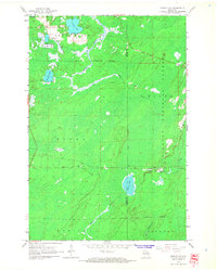 1965 Monico NE1966 Print · USGSOneida County in the mid-1960s remains a landscape of deep timber and glacial water at the edge of the Nicolet National Forest. Genealogists and historians can trace the rail-reliant community of Atkins and early agricultural sites like the Cranberry Bogs near Three Lakes.2 unique versions available
 - 1965 Map of Nashville, 1966 Print
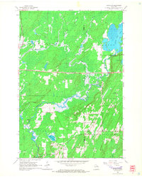 1965 Nashville1966 Print · USGSOneida and Forest counties in the mid-sixties show a landscape of timber-country settlements and glacial lakes. Genealogists can trace family names at Nashville Cem or Wolfram Cem, while industrial historians can follow the Old Railroad Grade.2 unique versions available
 - 1965 Map of Crandon, 1966 Print
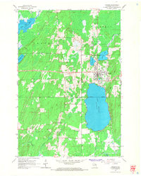 1965 Crandon1966 Print · USGSForest County in the mid-sixties reveals a landscape defined by timber history and sprawling glacial lakes. Researchers can trace the legacy of the logging era through an Old Railroad Grade and locate family landmarks like Lakeside Cemetery or the rural junction at Sherman Corners.2 unique versions available
 - 1965 Map of Argonne, 1966 Print
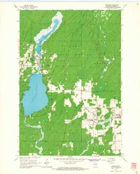 1965 Argonne1966 Print · USGSForest County's timber and rail history is on full display here in the mid-sixties, centered on the communities of Argonne and Hiles. Genealogists and historians can locate St Marys Cem, the old Soo Line rail corridors, and the Hiles Lookout Tower overlooking the Nicolet National Forest.2 unique versions available
 - 1989 Map of Rhinelander, 1990 Print
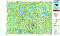 1989 Rhinelander1990 Print · USGSThe Wisconsin Northwoods are captured here in the late eighties, showing a landscape defined by water and timber management. Researchers can trace the Soo Line rail corridors and find local landmarks like Rainbow Flowage, Pelican Lake, and the Rhinelander-Oneida Co Airport.
 - 1991 Map of Iron Mountain
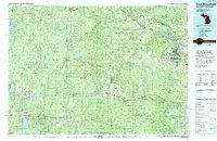 1991 Iron Mountain1991 Print · USGSThe Michigan-Wisconsin borderlands appear here in the early nineties, centered on the industrial corridor along the Menominee River. Local researchers can trace the Soo Line through remote timber settlements or locate mining sites like the Bradley Mine and Trader Mine.
 - 2010 Map of Crandon, 2010 Print
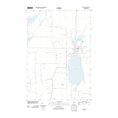 2010 Crandon2010 Print · USGSCrandon was established as a Northwoods hub between the sprawling shores of Metonga Lake and Peshtigo Lake. Researchers can trace the town's footprint near Lakeside Cemetery, locate the rural junction at Sherman Corners, or follow the course of the Wolf River.
 - 2010 Map of Nashville, 2010 Print
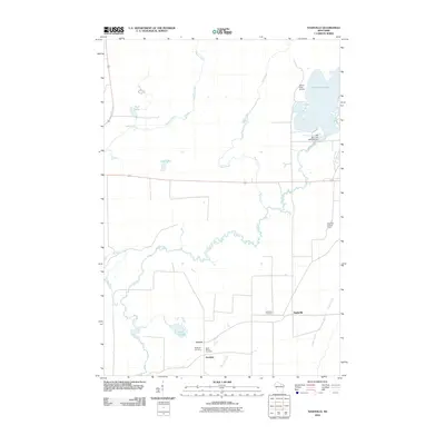 2010 Nashville2010 Print · USGSNashville and the surrounding Forest County timberlands are depicted here in the early 2000s, centered on the meandering Wolf River. Genealogists and historians can trace the rural communities of Lennox and Jennings, alongside local landmarks like Saint Marys Cemetery and the Wolf River Lookout Tower.
 - 2011 Map of Monico NE, 2011 Print
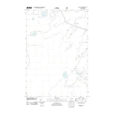 2011 Monico NE2011 Print · USGSOneida County's Northwoods are captured here in the early 21st century, showing the forest and water network near Three Lakes. Researchers can trace the wetlands and roads around Atkins, including Wildcat Creek Impoundment and Margaret Lake.
 - 2011 Map of Argonne, 2011 Print
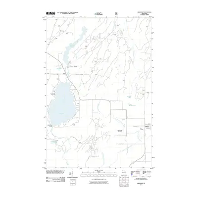 2011 Argonne2011 Print · USGSForest County's timber and water heritage is preserved here as it appeared in 2011. Genealogists and historians can locate the Forster Muller- Lumber Company Dam, Saint Marys Cemetery, and the Hiles Lookout Tower.
 - 2013 Map of Argonne, 2013 Print
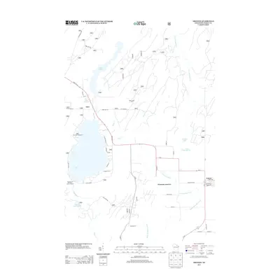 2013 Argonne2013 Print · USGSForest County’s lake country and timberlands are captured here in the early twenty-first century. Researchers can trace the water systems around Hiles and Wisconsin Junction, including Hiles Millpond and the Hiles Lookout Tower.
 - 2013 Map of Crandon, 2013 Print
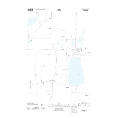 2013 Crandon2013 Print · USGSCrandon and its surrounding lake country are shown here in the early twenty-first century as the community grew around the shores of Metonga Lake. Researchers can trace local landmarks like Sherman Corners, the Crandon/Steve Conway Municipal Airport, and the headwaters of the Wolf River.
 - 2013 Map of Monico NE, 2013 Print
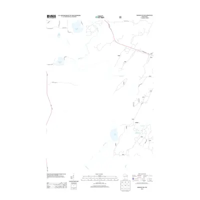 2013 Monico NE2013 Print · USGSWisconsin's Northwoods are captured here in the early twenty-first century, showing a landscape of glacial lakes and forest roads. Genealogists and hunters can trace the area around Atkins or find access points via Hunting Camp Rd and State Farm Rd.
 - 2013 Map of Nashville, 2013 Print
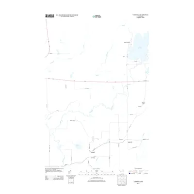 2013 Nashville2013 Print · USGSForest County's Northwoods landscape is captured here in the early twenty-first century, showing a region defined by its winding waterways and small lakeside communities. Researchers can trace rural road networks and find local landmarks such as Lennox, the Wolf River Lookout Tower, and Little Rice Lake.
 - 2015 Map of Monico NE, 2015 Print
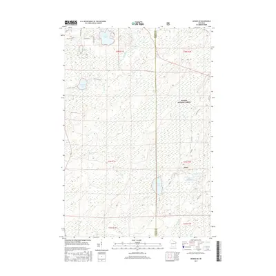 2015 Monico NE2015 Print · USGSThe Northwoods of Oneida and Forest counties are documented here in the mid-2010s, showing a landscape defined by timber and water. Genealogists and outdoor historians can trace old routes near the settlement of Atkins or find the shoreline of Crooked Lake and James Lake.
 - 2015 Map of Nashville, 2015 Print
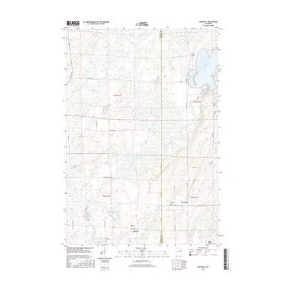 2015 Nashville2015 Print · USGSIn the mid-2010s, this portion of Forest County remained a landscape of dense wetlands and scattered hamlets. Researchers can trace family history through several local burial sites like Nashville Cem and Wolfram Cem, or locate the small community of Jennings.
 - 2015 Map of Crandon, 2015 Print
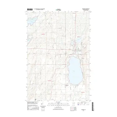 2015 Crandon2015 Print · USGSCrandon and its surrounding lake country are shown here in the mid-2010s, capturing the city's relationship with the Forest County landscape. Genealogy and local history researchers can trace sites like Lakeside Cem and the shoreline of Metonga Lake.
 - 2015 Map of Argonne, 2015 Print
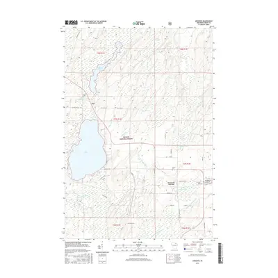 2015 Argonne2015 Print · USGSArgonne and the surrounding Northwoods are captured here in the mid-2010s within the Nicolet National Forest. Researchers can locate family sites near Argonne Cem, trace the waters of Hiles Millpond, or explore the rail-related geography of Wisconsin Junction.
Showing maps 1-25 of 33
Top cities near Crandon
- Three Lakes historical maps
- Crandon historical maps
- Laona historical maps
- Elcho historical maps
- Nashville historical maps
- Stella historical maps
See more
Frequently asked questions
- What are the different types of historical maps available for Crandon?
- What is the oldest map of Crandon?
- Where can I purchase historical maps of Crandon for my home or office?
- Where can I download high-res historical maps of Crandon?
- Are there historical topographic maps available for Crandon?
- Is there historical aerial imagery available for Crandon?
- Where are historical maps of Crandon sourced from?