1960s Maps of Fremont County, Wyoming
Explore 47 historic maps of Fremont County from the 1960s. These maps offer a rare glimpse into what life looked like during the 1960s — showing old roads, neighborhoods, homes, and landmarks that have changed or disappeared over time.
Whether you're researching your family's past, planning a metal detecting trip, or studying how Fremont County's landscape evolved across the 1960s, these high-resolution maps are a powerful tool for exploring the history of this region.
- Focus on a specific era: All maps on this page are from the 1960s, giving you a focused view of this time period.
- See what’s changed: Compare century-old streets, trails, and buildings to today's modern landscape using overlays and satellite layers.
- Research with precision: Use these maps for genealogy, historical research, land use analysis, or educational projects.
- View, download, or print: Maps are fully viewable online in high resolution, and can be downloaded or printed for your own records.
Start exploring Fremont County's history through authentic maps from the 1960s. This is your window into the past.
Fremont County, WY maps
(47)- 1960 Map of Ashton
 1960 Ashton1960 Print · USGSThe Idaho-Montana-Wyoming borderlands at the dawn of the sixties show a landscape defined by the Continental Divide and early wilderness tourism. Genealogists and historians can trace rail-stop settlements like Trude Siding, old outposts like Warm River, and early lodging at Snowball Inn.
 - 1960 Map of Lander, 1961 Print
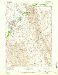 1960 Lander1961 Print · USGSLander and the Popo Agie River valley are captured here in the early 1960s, showing a landscape defined by irrigation and early industry. Researchers can trace the Chicago and Northwestern tracks to Hudson Siding or locate local landmarks like Mt Hope Cem and the historic Ft McGraw.3 unique versions available
 - 1960 Map of Fuller Reservoir, 1961 Print
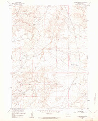 1960 Fuller Reservoir1961 Print · USGSFremont County ranchlands and early oil exploration are documented here during the early sixties. Researchers can trace the development of water resources through Fuller Reservoir and Deadman Reservoir along the old Shoshoni Road.3 unique versions available
 - 1961 Map of Lander
 1961 Lander1961 Print · USGSThe high peaks and desert basins of central Wyoming appear here in the early sixties, showing the landscape of the Shoshone Indian Reservation and the Wind River Range. Researchers can trace the path of the Oregon Trail and locate early settlements like Lander and the mining remains at South Pass City.2 unique versions available
 - 1961 Map of Lost Creek Reservoir, 1964 Print
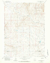 1961 Lost Creek Reservoir1964 Print · USGSThe high plains along the Fremont and Sweetwater county line come into focus during the early sixties, showing a landscape defined by water scarcity and mineral hunt. Researchers can trace remote mining prospects and isolated water sources like Stinking Springs and Lost Creek Reservoir.2 unique versions available
 - 1961 Map of Olson Springs, 1964 Print
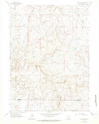 1961 Olson Springs1964 Print · USGSFremont and Sweetwater Counties in the early 1960s reveal a landscape shaped by energy exploration and ranching water sources. Researchers can trace early energy development at the Bison Basin Oil Field and locate water points like Olson Springs and Smiley Springs.
 - 1961 Map of Picket Lake, 1966 Print
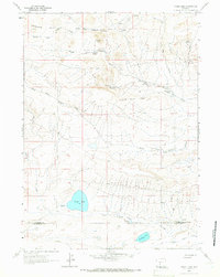 1961 Picket Lake1966 Print · USGSThe high desert of south-central Wyoming is captured here in the early sixties, illustrating a remote landscape of ranching outposts and vital water holes. You can locate family-named landmarks like Kindt Ranch and isolated desert features including Picket Lake and St Marys Peak.2 unique versions available
 - 1961 Map of Crooks Peak, 1966 Print
 1961 Crooks Peak1966 Print · USGSFremont County ranching and mining operations are captured here during the early sixties, as the high country of Green Mountain meets the basin floor. Local historians can trace early resource extraction at Kirk Mine and find remote landmarks like Jenson Ranch or Bare Ring Butte.3 unique versions available
 - 1961 Map of Brenton Springs, 1966 Print
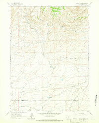 1961 Brenton Springs1966 Print · USGSThe high desert of the Fremont and Sweetwater county line comes into focus in the early sixties as energy exploration begins to mark the land. Researchers can trace early infrastructure like Arapahoe Ditch, the Gas Field, and water sources such as Brenton Springs and Baby Antelope Reservoir.2 unique versions available
 - 1961 Map of Sulphur Bar Spring, 1966 Print
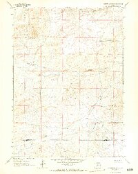 1961 Sulphur Bar Spring1966 Print · USGSThe high-desert terrain of the Wyoming basin is captured here in the early 1960s. Researchers can trace seasonal water sources and early mineral Prospects near the county line and Sulphur Bar Spring.2 unique versions available
 - 1962 Map of Thermopolis
 1962 Thermopolis1962 Print · USGSThe Wind River and Bighorn basins are meticulously mapped in the early sixties, showing the vital irrigation and rail networks of the era. Genealogists and historians can locate specific landmarks like the Duncan Ranch School, the Wyoming Industrial Institute, and the Hamilton Dome oil field.
 - 1962 Map of Driggs
 1962 Driggs1962 Print · USGSThe Idaho-Wyoming borderlands are captured here in the early sixties, showing the peaks and valleys of the northern Rockies. Genealogists and historians can trace rail lines like the Union Pacific RR and isolated outposts like the National Elk Refuge or the Fort Hall Indian Reservation.
 - 1962 Map of Arminto
 1962 Arminto1962 Print · USGSCentral Wyoming in the early sixties reveals a landscape shaped by the Chicago and North Western railroad and early energy development. Trace the history of the region through remote outposts like Arminto, the US Naval Petroleum Reserve, and the geologic landmark at Hells Half Acre.
 - 1962 Map of Casper
 1962 Casper1962 Print · USGSCentral Wyoming during the early sixties was a landscape of expanding energy production and massive water projects. Researchers can trace the mid-century footprint of the Lost Soldier Oil Field, the development of Casper Air Terminal, and the irrigation network of Pathfinder Reservoir.
 - 1962 Map of Whiskey Peak, 1964 Print
 1962 Whiskey Peak1964 Print · USGSThe Green Mountains of central Wyoming are captured here in the early 1960s, showing a transition from traditional ranching to oil exploration. Genealogists and historians can trace the Joe Wimmer Homestead, the Stratton Ranch, and the Wirtz Oil Field.2 unique versions available
 - 1962 Map of Sagebrush Park, 1964 Print
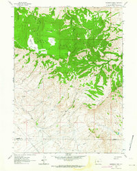 1962 Sagebrush Park1964 Print · USGSHigh mountain parks and ranching outposts define this central Wyoming landscape during the early sixties. Genealogists and researchers can trace the Hadsell Ranch and remote landmarks like Sagebrush Spring and the Stratton Rim.3 unique versions available
 - 1962 Map of St. Lawrence Basin, 1975 Print
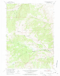 1962 St. Lawrence Basin1975 Print · USGSFremont County's high-country terrain within the Wind River Indian Reservation is captured here during the early fifties. Researchers can trace the mid-century infrastructure of the St Lawrence Basin, including the St Lawrence Ranger Station and the remote Telephone Line.
 - 1965 Map of Potato Butte, 1968 Print
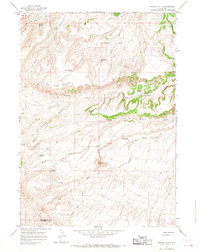 1965 Potato Butte1968 Print · USGSWithin the Wind River Indian Reservation in the mid-sixties, this area shows a landscape defined by seasonal water and high desert landforms. Researchers can trace the named water sources like Rainwater Spring and Merrill Spring or locate landmarks like Potato Butte.2 unique versions available
 - 1965 Map of Lava Mountain, 1968 Print
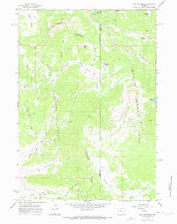 1965 Lava Mountain1968 Print · USGSThe Continental Divide serves as the spine of this high Wyoming backcountry during the mid-sixties, marking the boundary between the Teton and Shoshone National Forests. Researchers can trace historic access routes via the Pack Trail and Jeep Trail networks that connect Brooks Lake Lodge to landmarks like Lava Mountain and Pilot Knob.2 unique versions available
 - 1965 Map of Sheridan Pass, 1968 Print
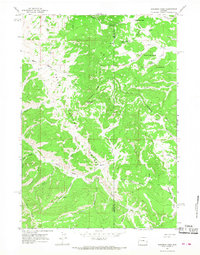 1965 Sheridan Pass1968 Print · USGSThe high backcountry of Wyoming's Wind River Range is captured here in the mid-1960s, centered on the Continental Divide. Trace primitive wilderness routes along the Buckskin Ridge and discover remote landmarks like Sheridan Pass and Stove Spring.2 unique versions available
 - 1965 Map of Togwotee Pass, 1971 Print
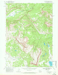 1965 Togwotee Pass1971 Print · USGSTeton and Fremont counties were still deeply primitive in the mid-sixties, dominated by high peaks and the Continental Divide. Researchers can trace the rugged access via Camp Road to alpine landmarks like Togwotee Pass, Brooks Lake, and the remote Holmes Cave.4 unique versions available
 - 1967 Map of Bain Draw, 1971 Print
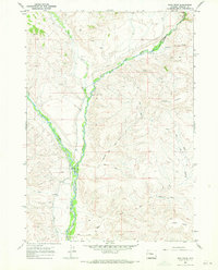 1967 Bain Draw1971 Print · USGSThe Fremont County high country is documented here in the late sixties, where the Wind River Indian Reservation meets the river forks. Researchers can trace ranching history and land use at the Double Diamond Ranch, Finley Ranch, and the Bain Place.3 unique versions available
 - 1967 Map of Circle Ridge, 1971 Print
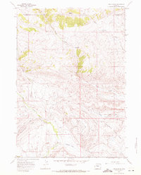 1967 Circle Ridge1971 Print · USGSOil extraction and high-country ranching define this portion of the Wind River Indian Reservation during the late sixties. Researchers can trace the industrial footprint of the Circle Ridge Oil Field alongside seasonal sites like Vincent Cabin and Porter Cabin Cow Camp.2 unique versions available
 - 1967 Map of Monument Peak, 1971 Print
 1967 Monument Peak1971 Print · USGSThe high Absaroka backcountry of Fremont and Hot Springs counties is captured here in the late sixties, where the forest meets the reservation. Researchers can trace the Wind River Indian Reservation Boundary as it crosses South Fork Owl Creek near Washakie Needles and Muddy Lookout.2 unique versions available
 - 1967 Map of East Fork Basin, 1971 Print
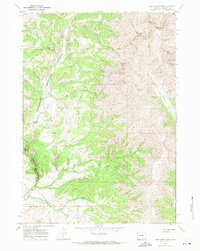 1967 East Fork Basin1971 Print · USGSHigh in the Wyoming wilderness during the late sixties, this area shows the intersection of tribal and national forest lands. Trace the Wind River Indian Reservation Boundary and find remote sites like the East Fork Guard Station and the high Mountain Meadows.
Showing maps 1-25 of 47
Top cities of Fremont County
- Riverton historical maps
- Lander historical maps
- Fort Washakie historical maps
- Ethete historical maps
- Dubois historical maps
- Shoshoni historical maps
See more
Frequently asked questions
- What are the different types of historical maps available for Fremont County?
- What is the oldest map of Fremont County?
- Where can I purchase historical maps of Fremont County for my home or office?
- Where can I download high-res historical maps of Fremont County?
- Are there historical topographic maps available for Fremont County?
- Is there historical aerial imagery available for Fremont County?
- Where are historical maps of Fremont County sourced from?