2020s Maps of Fremont County, Wyoming
Explore 212 historic maps of Fremont County from the 2020s. These maps offer a rare glimpse into what life looked like during the 2020s — showing old roads, neighborhoods, homes, and landmarks that have changed or disappeared over time.
Whether you're researching your family's past, planning a metal detecting trip, or studying how Fremont County's landscape evolved across the 2020s, these high-resolution maps are a powerful tool for exploring the history of this region.
- Focus on a specific era: All maps on this page are from the 2020s, giving you a focused view of this time period.
- See what’s changed: Compare century-old streets, trails, and buildings to today's modern landscape using overlays and satellite layers.
- Research with precision: Use these maps for genealogy, historical research, land use analysis, or educational projects.
- View, download, or print: Maps are fully viewable online in high resolution, and can be downloaded or printed for your own records.
Start exploring Fremont County's history through authentic maps from the 2020s. This is your window into the past.
Fremont County, WY maps
(212)- 2021 Map of Del Monte Ridge, 2021 Print
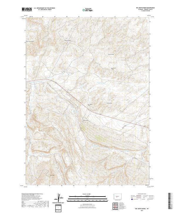 2021 Del Monte Ridge2021 Print · USGSThe high plains of Fremont County in the early twenty-first century are captured here, revealing a ranching landscape dependent on seasonal water. Researchers can trace land use through named features like Del Monte Draw Reservoir, Sheep Mtn, and Old Hwy 789.
 - 2021 Map of Temple Peak, 2021 Print
 2021 Temple Peak2021 Print · USGSThe high alpine terrain of the Wind River Range is meticulously detailed in this recent survey of the Continental Divide. Backcountry travelers and geographers can trace the paths of the Continental Divide National Scenic Trail past landmarks like Temple Peak and Big Sandy Lake.
 - 2021 Map of Cony Mountain, 2021 Print
 2021 Cony Mountain2021 Print · USGSHigh in the Shoshone National Forest during the early twenty-first century, this map documents the alpine hydrology and trail networks of the Wind River Range. Researchers can trace the paths of the Hudson Meadow Trl, locate the Fiddlers Lake CG, and find landmarks like Popo Agie Falls.
 - 2021 Map of Sweetwater Station, 2021 Print
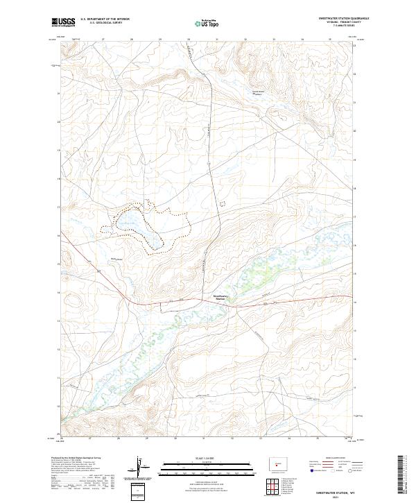 2021 Sweetwater Station2021 Print · USGSFremont County ranching country is documented here in the early twenty-first century, centered on the crossing at Sweetwater Station. You can trace the path of the historic Oregon Trl and a network of irrigation works including the National Ditch and Miller Ditch.
 - 2021 Map of Red Canyon, 2021 Print
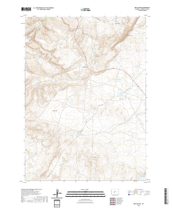 2021 Red Canyon2021 Print · USGSFremont County's high desert plateaus and the dramatic Beaver Rim are documented here in the early twenty-first century. Researchers can trace the path of the Sweetwater River and follow historic routes like the Atlantic City Rd and Hudson-Atlantic City Rd.
 - 2021 Map of Dickie Springs, 2021 Print
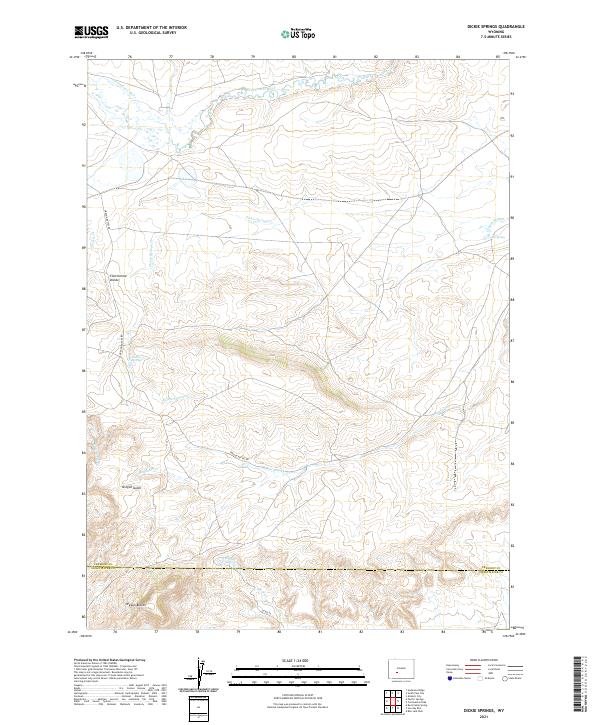 2021 Dickie Springs2021 Print · USGSFremont County's high desert landscape is captured here in the contemporary era, showing the intersection of the Continental Divide and historic trail routes. Researchers can trace the legacy of westward migration through Oregon Buttes and isolated watering spots like Dickie Springs.
 - 2021 Map of Elkhorn Springs, 2021 Print
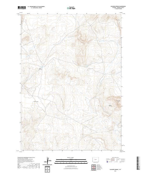 2021 Elkhorn Springs2021 Print · USGSIn the high country of Fremont County, this 2021 survey details the complex terrain where the Granite Mountains meet Beaver Rim. Researchers can trace the drainage of W Fork Long Cr and locate isolated water sources like Elkhorn Springs and Findlay Lake.
 - 2021 Map of Fossil Hill, 2021 Print
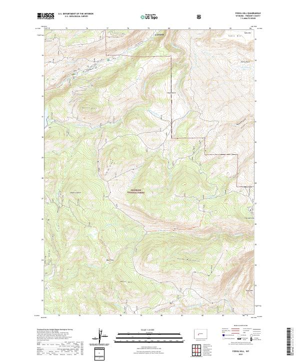 2021 Fossil Hill2021 Print · USGSThe high basins and peaks of the Wind River Range are preserved here in the early twenty-first century. Outdoorsmen and geologists can trace the paths of the Middle Popo Agie River, find the height of Fossil Hill, and locate old waterworks like Enterprise Ditch.
 - 2021 Map of Miners Delight, 2021 Print
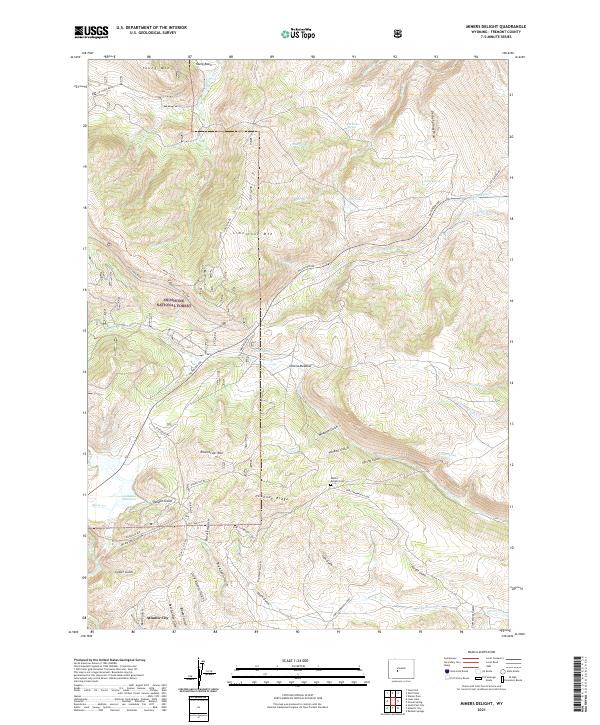 2021 Miners Delight2021 Print · USGSThe Fremont County high country near Atlantic City is detailed here as it appeared in the early 2020s, showing a landscape defined by its mining and frontier legacy. Researchers can trace historic routes like the Fort Stambaugh Loop and locate the Miners Delight Cem among the numerous named gulches and mountain ridges.
 - 2021 Map of Christina Lake, 2021 Print
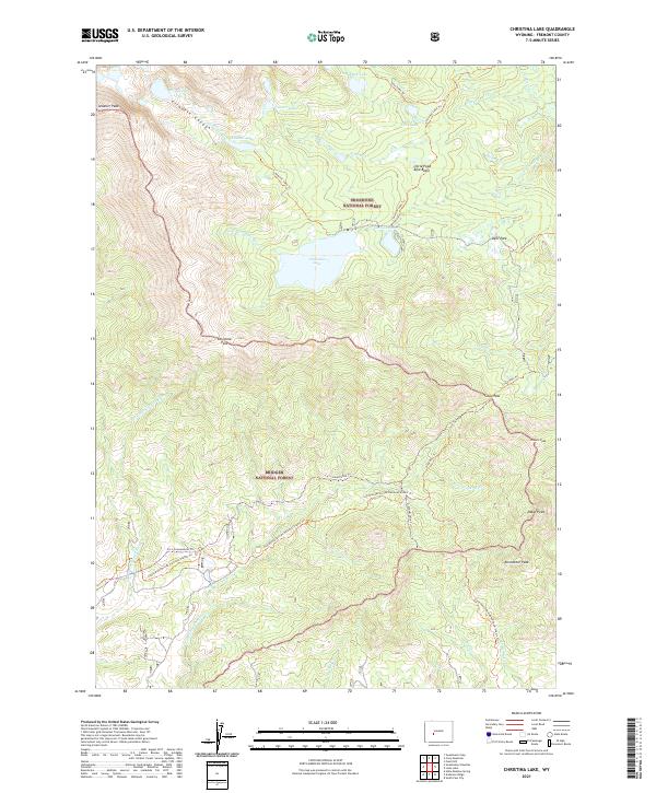 2021 Christina Lake2021 Print · USGSHigh in the Wind River Range during the early twenty-first century, this map captures the rugged intersection of the Shoshone National Forest and Bridger National Forest. Trace the path of the Continental Divide National Scenic Trl past Christina Lake and over the historic Christina Pass.
 - 2021 Map of Arapahoe, 2021 Print
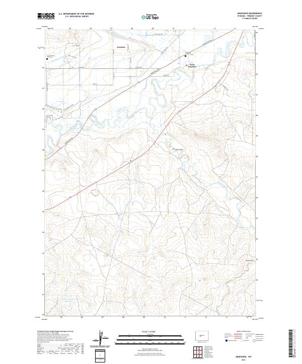 2021 Arapahoe2021 Print · USGSArapahoe and Saint Stephens are captured here in the early twenty-first century, situated at the meeting of the Little Wind River and Popo Agie River. Researchers can trace the path of historic irrigation through the Sub-Agency Ditch and locate the Fort Washakie Post Cem.
 - 2021 Map of Sulphur Bar Spring, 2021 Print
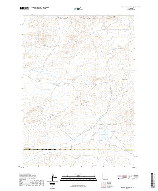 2021 Sulphur Bar Spring2021 Print · USGSThe Fremont and Sweetwater county line region is documented here in the early twenty-first century, showing a high-altitude landscape of critical water sources. Trace the route of the Continental Divide National Scenic Trl past landmarks like Sulphur Bar Spring and Daley Lake.
 - 2021 Map of Picket Lake, 2021 Print
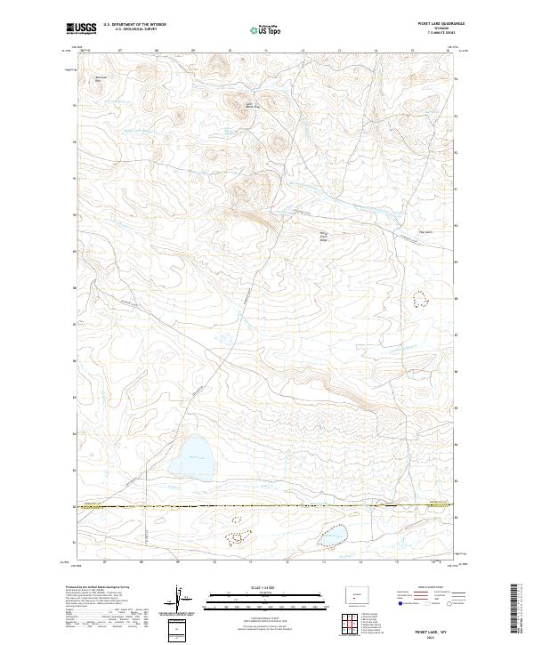 2021 Picket Lake2021 Print · USGSThe high-desert terrain of the Wyoming interior is shown here in the early twenty-first century, spanning the Fremont and Sweetwater county line. Trace remote landmarks like Picket Lake, Saint Marys Peak, and the historic Riverview Cutoff.
 - 2021 Map of Lost Creek Reservoir, 2021 Print
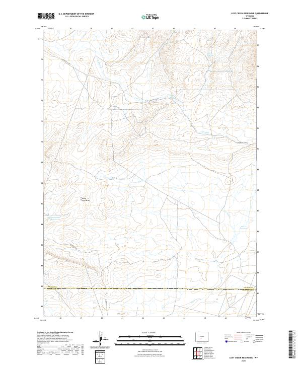 2021 Lost Creek Reservoir2021 Print · USGSThe high desert of Fremont and Sweetwater counties is mapped here in the early twenty-first century, showing a landscape defined by ranching and water management. Trace the remote routes of the Riverview Cutoff and Bison Basin Rd near Lost Cr Reservoir.
 - 2021 Map of Louis Lake, 2021 Print
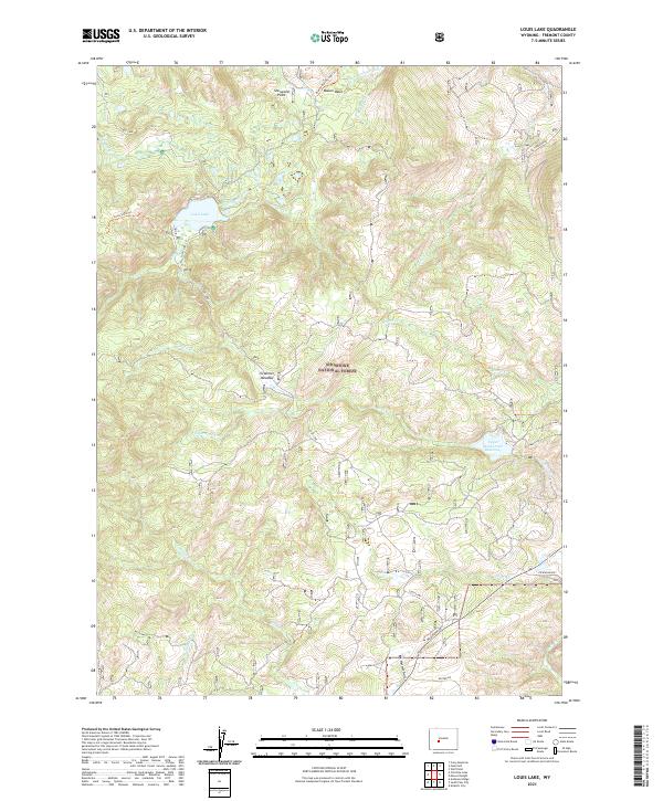 2021 Louis Lake2021 Print · USGSThe Shoshone National Forest high country comes into focus in this recent survey. Local history and outdoor researchers can trace the waters of Louis Lake, the depths of Ed Young Basin, and the path of the Maxon Basin Cutoff Trl.
 - 2021 Map of Lewiston Lakes, 2021 Print
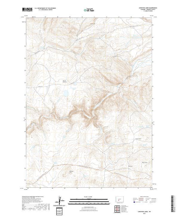 2021 Lewiston Lakes2021 Print · USGSFremont County, Wyoming, is shown here as a landscape shaped by historical passage and vital water sources. Trace the legacy of westward travel along the Oregon Trl or locate seasonal life at Wagon Tire Spring and McLean Meadows.
 - 2021 Map of Roberts Mountain, 2021 Print
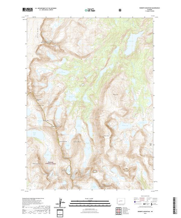 2021 Roberts Mountain2021 Print · USGSThe high Wind River Range is captured in this recent survey, tracing the Continental Divide through Bridger National Forest. Hikers and researchers can plot routes to Lake Solitude, Kagevah Pass, and the summit of Mt Lander.
 - 2021 Map of Bonneville, 2021 Print
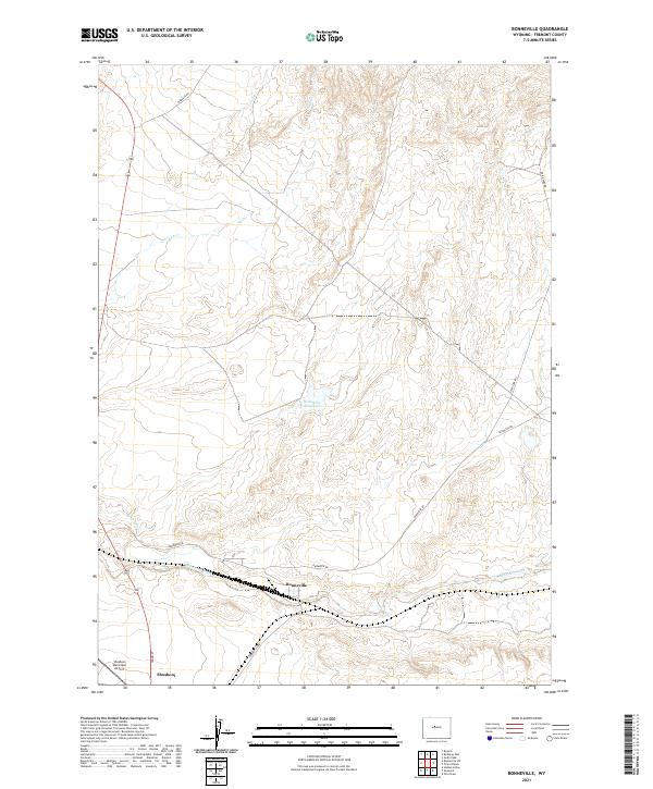 2021 Bonneville2021 Print · USGSThe Fremont County high desert comes into focus in the early 2020s, showing a landscape defined by ranching and transit. Trace the local geography around Bonneville, the Shoshoni Municipal Airport, and the waters of Badwater Creek.
 - 2021 Map of Argo Butte, 2021 Print
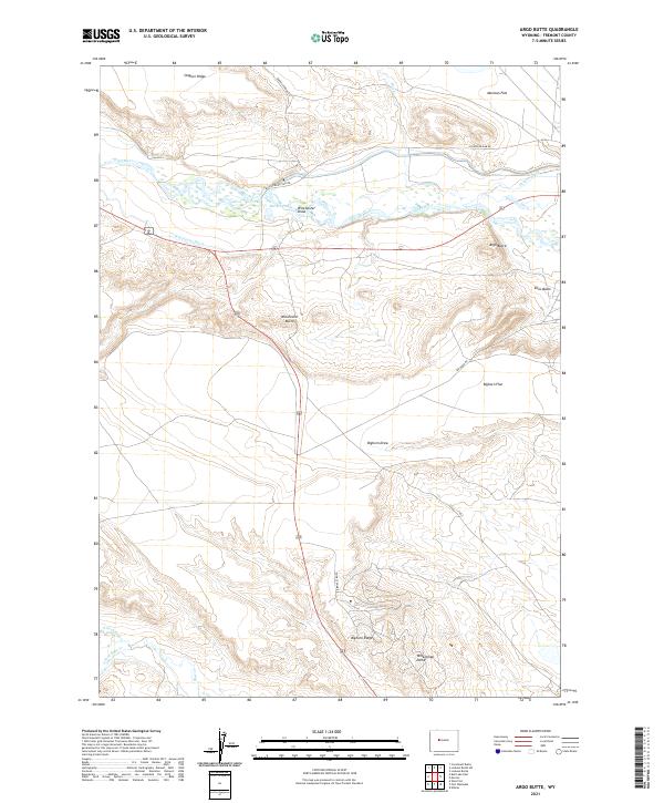 2021 Argo Butte2021 Print · USGSFremont County, Wyoming, is defined by its high-desert topography and vital irrigation systems in the early twenty-first century. Researchers can trace the path of the Wind River and study the layout of the Winchester Ditch near Argo Butte.
 - 2021 Map of Sheep Ridge, 2021 Print
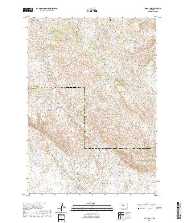 2021 Sheep Ridge2021 Print · USGSThe border of Hot Springs and Fremont counties is captured here in the early 2020s, showing the high-elevation terrain of the Owl Creek Mountains. Researchers can trace remote drainage networks like Shotgun Cr and the prominent geological rise of Sheep Ridge.
 - 2021 Map of Ocean Lake, 2021 Print
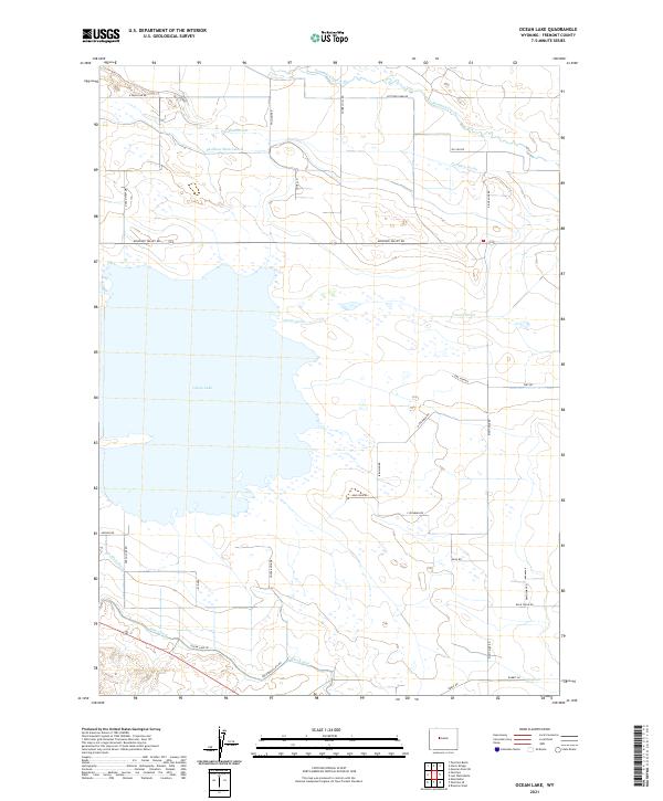 2021 Ocean Lake2021 Print · USGSThe Missouri Valley of central Wyoming reveals its detailed irrigation and rural road network in the early 2020s. Researchers can trace local property access and water rights through features like Pilot Canal, Pavillion Drain, and family-named routes such as Irishman Rd.
 - 2021 Map of Shoshoni, 2021 Print
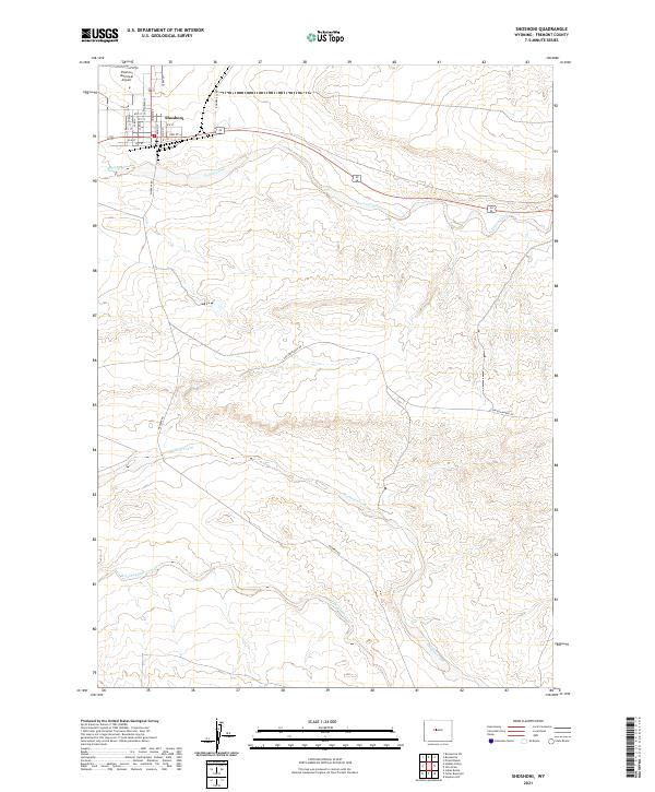 2021 Shoshoni2021 Print · USGSShoshoni and the surrounding Fremont County ranchlands are documented here in the early twenty-first century. Researchers can trace the town grid and outlying landmarks like the Shoshoni Municipal Airport, Poison Creek, and Bonneville Rd.
 - 2021 Map of Hay Meadow Reservoir, 2021 Print
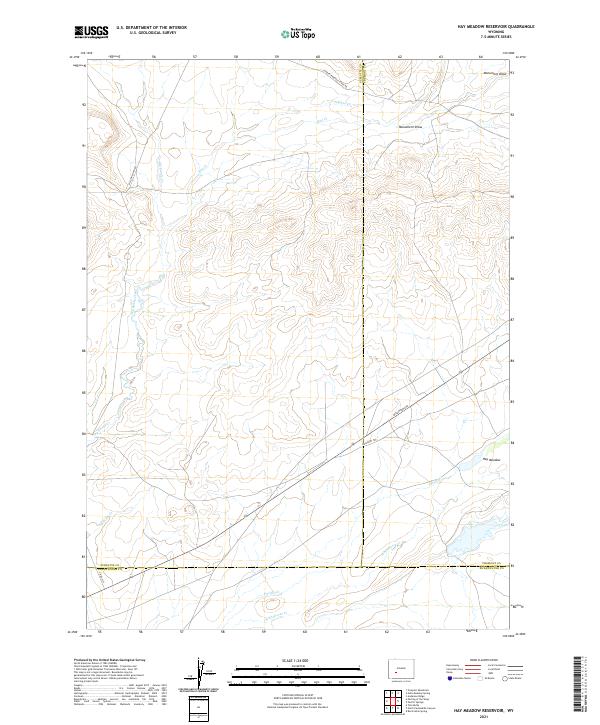 2021 Hay Meadow Reservoir2021 Print · USGSThe high plains of Sublette and Fremont counties are captured in the early 2020s, showing a landscape defined by historic transit routes. Trace the path of the Emigrant Trl and Lander Pinedale Stage Rd as they cross Dry Sandy Creek.
 - 2021 Map of Pavillion SE, 2021 Print
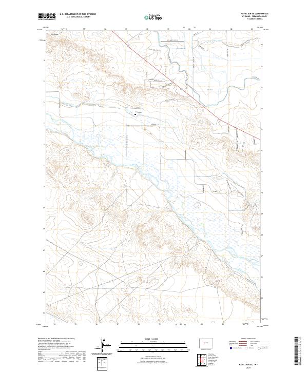 2021 Pavillion SE2021 Print · USGSThe Wind River valley in the early 2020s reveals a landscape shaped by both water and ranching. Genealogists and local historians can trace family landmarks like Collins Cem and follow the paths of the Pilot Canal and Triangle Ranch Rd.
 - 2021 Map of Torrey Lake, 2021 Print
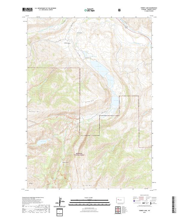 2021 Torrey Lake2021 Print · USGSThe Fremont County backcountry within the Shoshone National Forest is mapped here during a period of modern recreational and water management use. Trace the path of the Old Glacier Trl past Lake Louise and Bomber Basin to explore this high-elevation terrain.
Showing maps 1-25 of 212
Top cities of Fremont County
- Riverton historical maps
- Lander historical maps
- Fort Washakie historical maps
- Ethete historical maps
- Dubois historical maps
- Shoshoni historical maps
See more
Frequently asked questions
- What are the different types of historical maps available for Fremont County?
- What is the oldest map of Fremont County?
- Where can I purchase historical maps of Fremont County for my home or office?
- Where can I download high-res historical maps of Fremont County?
- Are there historical topographic maps available for Fremont County?
- Is there historical aerial imagery available for Fremont County?
- Where are historical maps of Fremont County sourced from?